Boathouse Wood
Wood, Forest in Stirlingshire
Scotland
Boathouse Wood

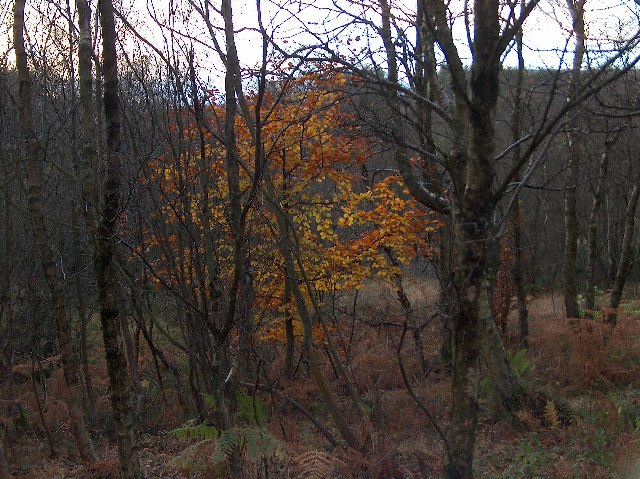
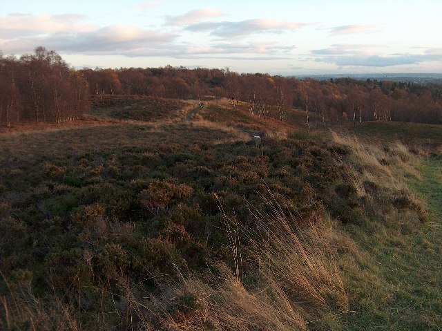
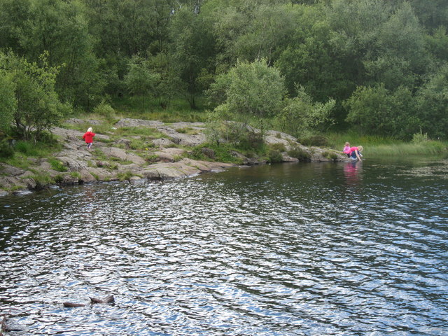
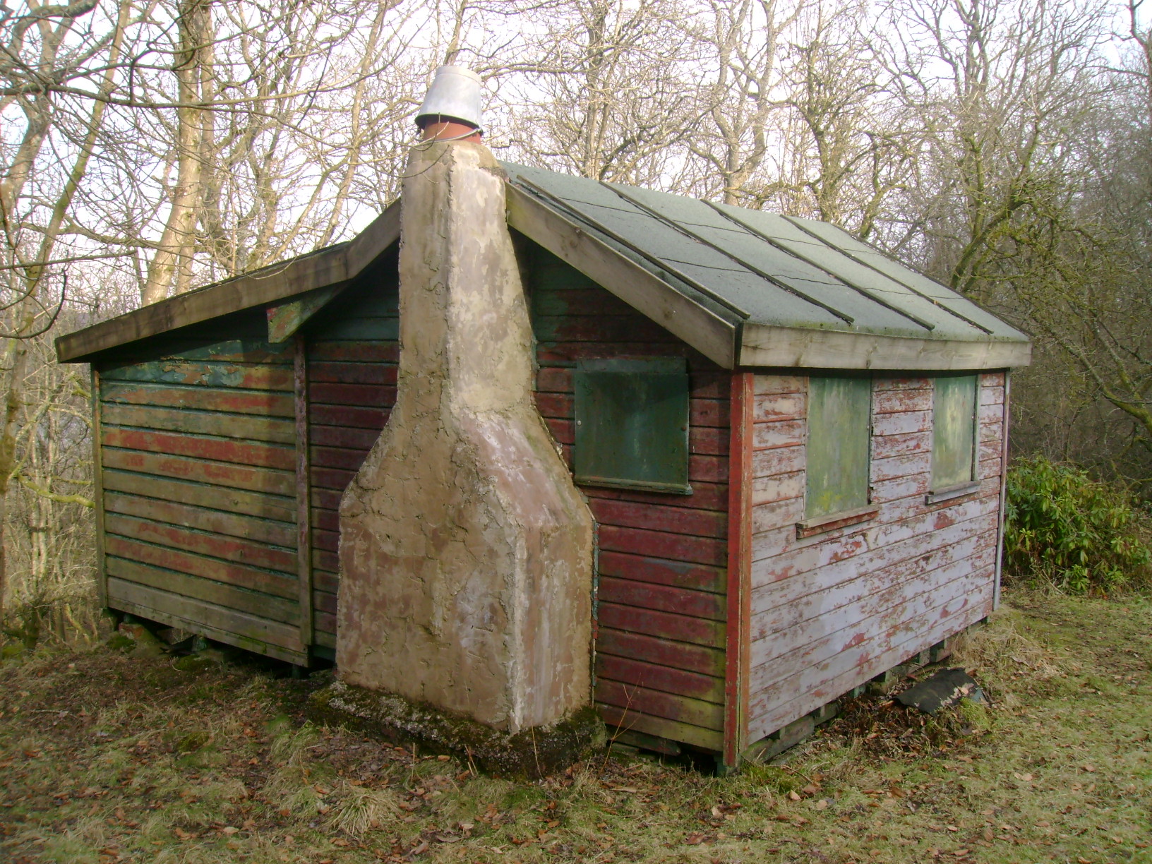
Boathouse Wood is a picturesque forest located in Stirlingshire, Scotland. Situated near the town of Aberfoyle, this wood is a popular destination for nature lovers and outdoor enthusiasts. Covering an area of approximately 60 hectares, it boasts a diverse range of flora and fauna, making it a haven for wildlife.
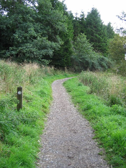
The wood is predominantly made up of broadleaf trees, such as oak, birch, and beech, creating a stunning canopy that provides shade and shelter. The forest floor is covered in a rich carpet of mosses, ferns, and wildflowers, adding to its natural beauty. Visitors can enjoy leisurely walks along the well-marked trails that wind through the wood, taking in the sights and sounds of this tranquil environment.
Boathouse Wood is home to a variety of wildlife species, including red squirrels, roe deer, and numerous bird species. Birdwatchers may spot woodpeckers, tits, and finches among the treetops, while lucky visitors might even catch a glimpse of the elusive pine marten or otter that inhabit the area.
The wood is managed by the Forestry and Land Scotland, who strive to maintain its natural integrity and protect its biodiversity. The organization also actively engages in conservation efforts to preserve and enhance the woodland habitat.
Overall, Boathouse Wood offers a serene and enchanting escape from the hustle and bustle of everyday life. With its stunning scenery, abundant wildlife, and well-maintained trails, it is a must-visit destination for anyone seeking a peaceful retreat in the heart of Stirlingshire.
If you have any feedback on the listing, please let us know in the comments section below.
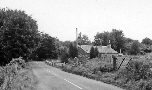
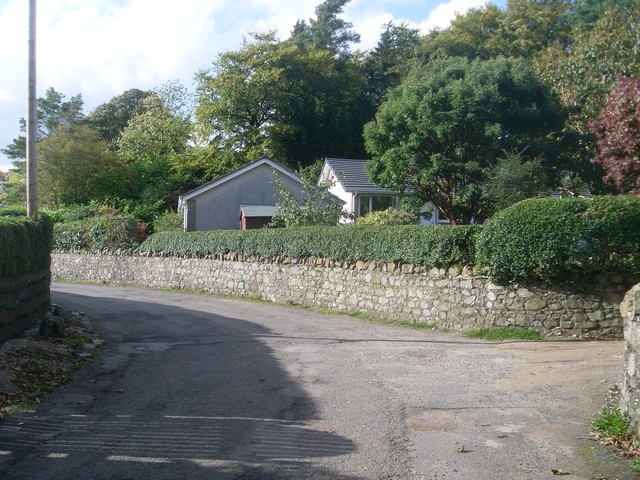
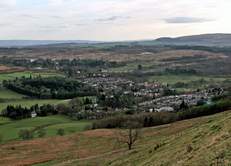
Boathouse Wood Images
Images are sourced within 2km of 55.971688/-4.3464095 or Grid Reference NS5377. Thanks to Geograph Open Source API. All images are credited.


Boathouse Wood is located at Grid Ref: NS5377 (Lat: 55.971688, Lng: -4.3464095)
Unitary Authority: Stirling
Police Authority: Forth Valley
What 3 Words
///mixing.punters.surfacing. Near Strathblane, Stirling
Nearby Locations
Related Wikis

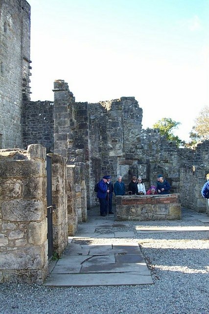
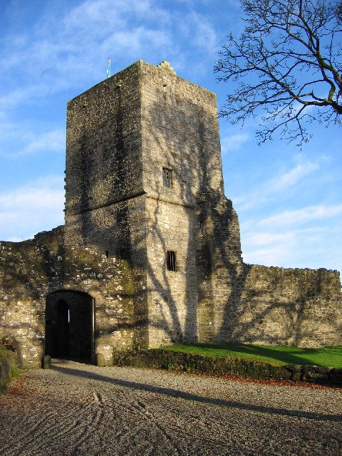
Mugdock Castle
Mugdock Castle was the stronghold of the Clan Graham from the middle of the 13th century. Its ruins are located in Mugdock Country Park, just west of the...
Carbeth
Carbeth is a hamlet in Stirlingshire, 2.5 miles (4 km) west of Strathblane and 5.5 miles (9 km) north of Clydebank. Named features include Carbeth Hill...
Mugdock Country Park
Mugdock Country Park is a country park and historical site located partly in East Dunbartonshire and partly in Stirling, in the former county of Stirlingshire...
Blanefield railway station
Blanefield railway station served the village of Blanefield, Stirling, Scotland from 1867 to 1959 on the Blane Valley Railway. == History == The station...
Mugdock
Mugdock is a hamlet in Stirlingshire, Scotland. It lies to the south of the village of Strathblane, and was in the civil parish. In the past the hamlet...

Douglas Academy
Douglas Academy is a non-denominational, co-educational, comprehensive secondary school in the town of Milngavie, East Dunbartonshire, serving the Milngavie...
Blanefield
Blanefield is a settlement in Scotland contiguous with Strathblane's northwestern fringe. To the west is the volcanic plug Dumgoyne, Glengoyne Distillery...
Strathblane
Strathblane (Scottish Gaelic: Strath Bhlàthain, pronounced [s̪t̪ɾahˈvl̪ˠaː.ɪɲ]) is a village and parish in the registration county of Stirlingshire, situated...
Nearby Amenities
Located within 500m of 55.971688,-4.3464095Have you been to Boathouse Wood?
Leave your review of Boathouse Wood below (or comments, questions and feedback).