Auchencloigh Wood
Wood, Forest in Ayrshire
Scotland
Auchencloigh Wood

Auchencloigh Wood is a picturesque forest located in the region of Ayrshire, Scotland. Covering an area of approximately 100 hectares, it is a popular destination for nature enthusiasts and hikers alike. The wood is situated near the village of Auchencloigh, providing easy access for visitors from nearby towns and cities.
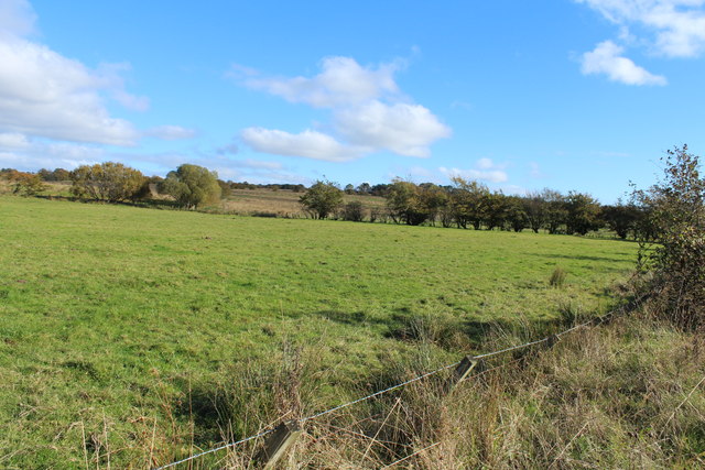
The forest is predominantly composed of native broadleaf trees, including oak, birch, and beech. These trees create a dense canopy that provides shade and shelter for a variety of flora and fauna. The forest floor is covered in a thick layer of moss and wildflowers, adding to the overall beauty of the woodland.
Auchencloigh Wood is home to a diverse range of wildlife. Visitors may spot red squirrels scurrying through the treetops, while deer can often be seen grazing in the open glades. The forest also provides habitat for a variety of bird species, including woodpeckers, owls, and thrushes, making it a haven for birdwatchers.
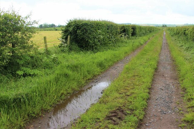
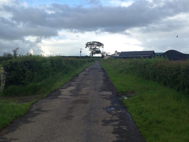
Several well-maintained trails wind their way through Auchencloigh Wood, offering visitors the opportunity to explore the forest at their leisure. These trails vary in difficulty, catering to both casual walkers and experienced hikers. Along the way, visitors can enjoy breathtaking views of the surrounding countryside and may even stumble upon a hidden waterfall or two.
Overall, Auchencloigh Wood is a captivating natural haven that showcases the beauty and biodiversity of the Scottish countryside. Whether it's a leisurely stroll or an adventurous hike, this woodland offers something for everyone to enjoy.
If you have any feedback on the listing, please let us know in the comments section below.
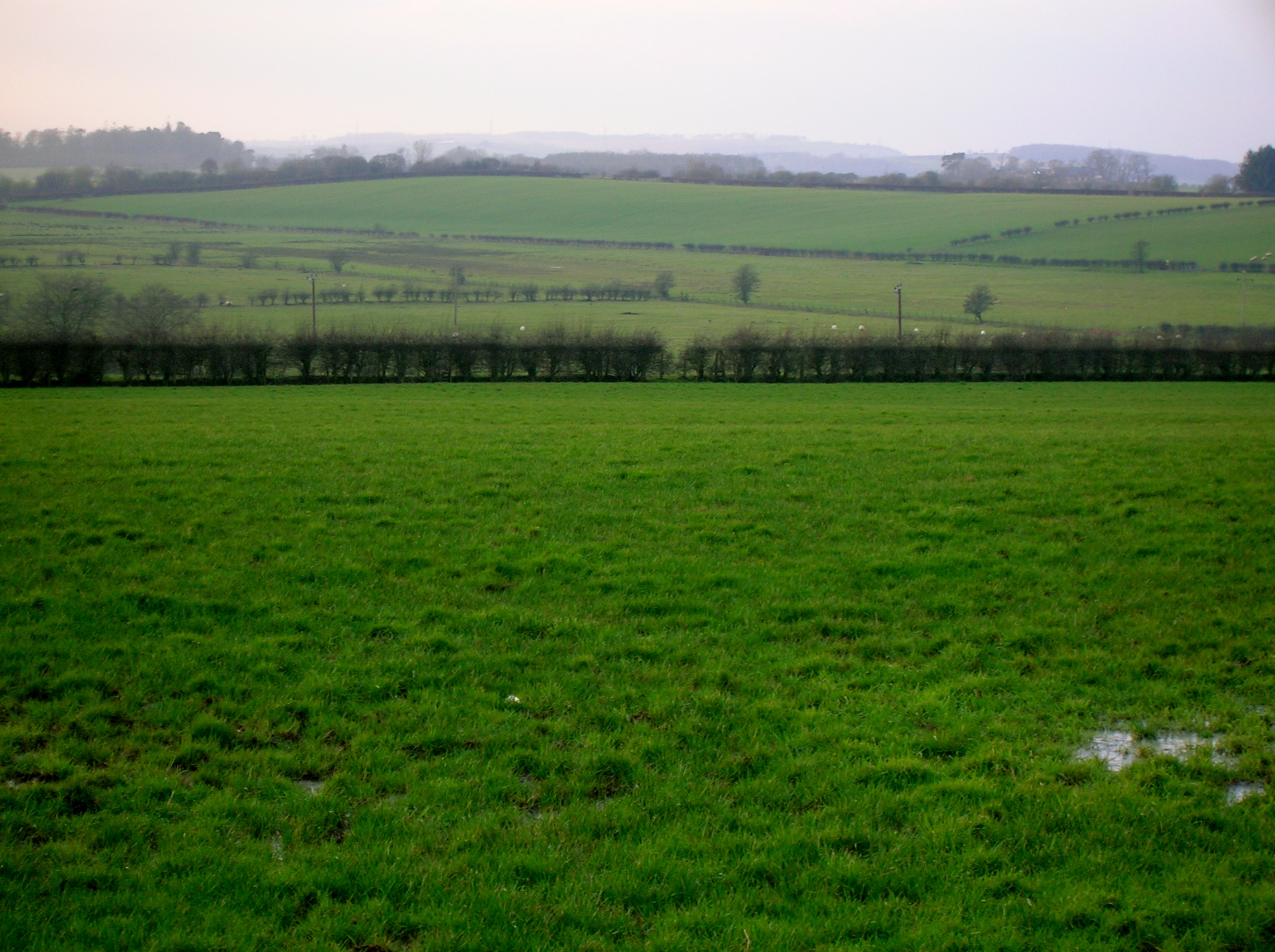
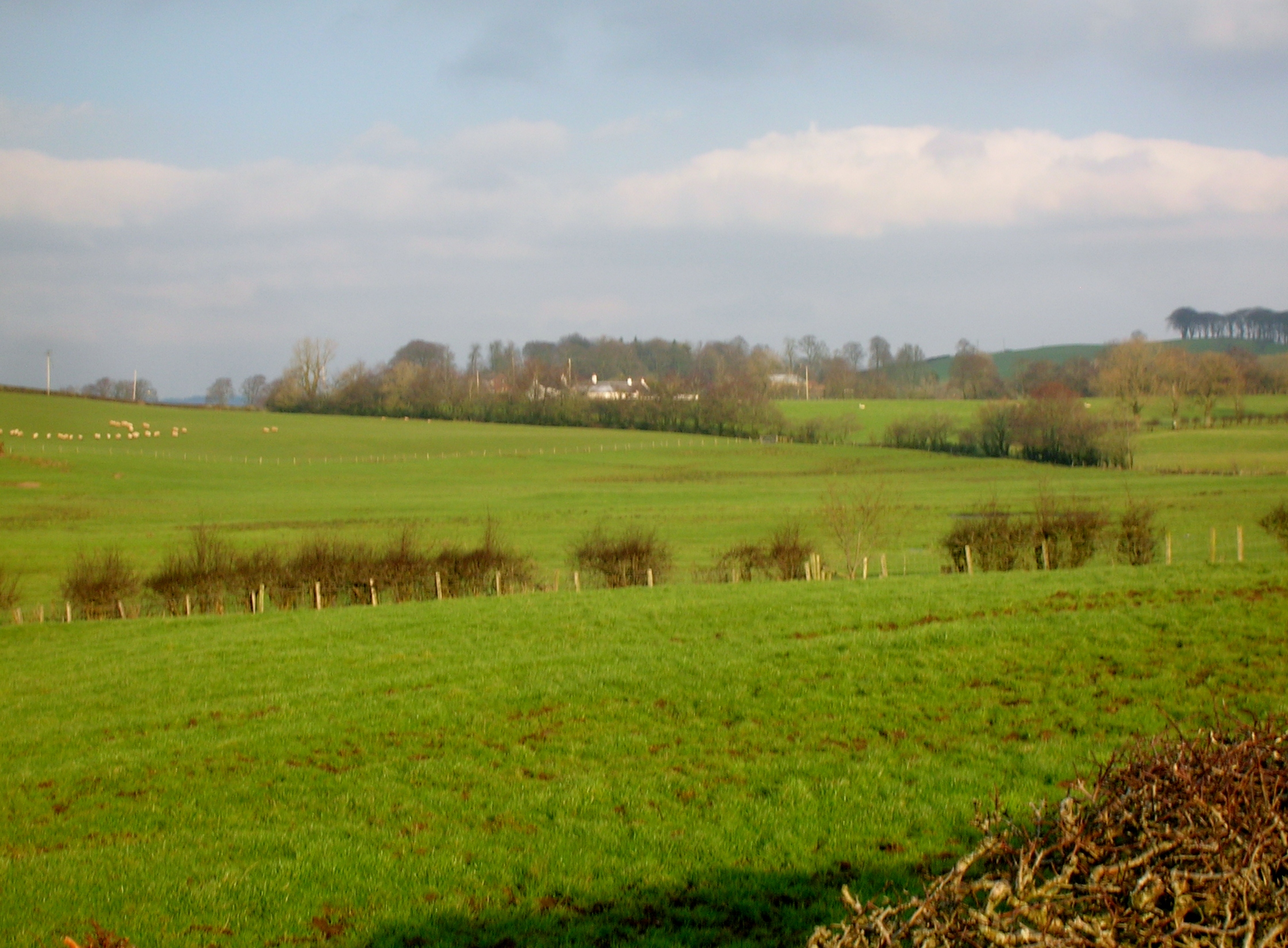
Auchencloigh Wood Images
Images are sourced within 2km of 55.55708/-4.3375474 or Grid Reference NS5231. Thanks to Geograph Open Source API. All images are credited.


Auchencloigh Wood is located at Grid Ref: NS5231 (Lat: 55.55708, Lng: -4.3375474)
Unitary Authority: East Ayrshire
Police Authority: Ayrshire
What 3 Words
///ethic.faced.helm. Near Mauchline, East Ayrshire
Nearby Locations
Related Wikis
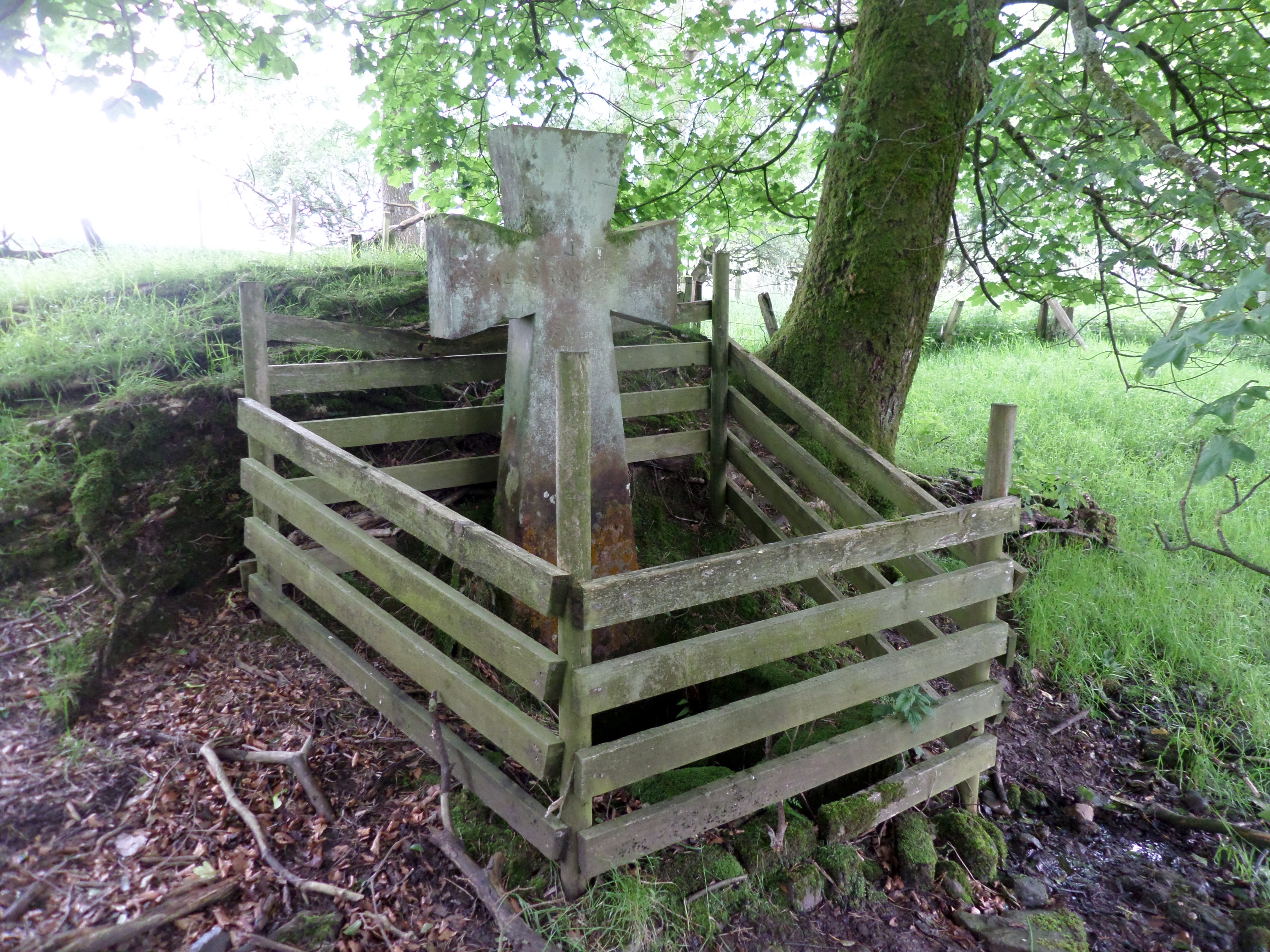
Lady's Well, Auchmannoch
The Lady's Well is a natural spring surmounted by a large cross that stands beside the Stra Burn Ford (NS254630) near Auchmannoch House in the Parish of...
Bruntwood Loch
Bruntwood Loch (NS 50265 32454) was a freshwater loch, now drained, lying in a glacial kettle hole in Galston, East Ayrshire, Scotland. == The loch... ==

Auchmillan
Auchmillan is a village in East Ayrshire, Scotland.
Whitehill Loch
Whitehill Loch (NS 49240 33240), previously known as Hillhouse Loch was a freshwater loch in the East Ayrshire Council Area, now drained, near Galston...
Nearby Amenities
Located within 500m of 55.55708,-4.3375474Have you been to Auchencloigh Wood?
Leave your review of Auchencloigh Wood below (or comments, questions and feedback).