Bog Wood
Wood, Forest in Stirlingshire
Scotland
Bog Wood
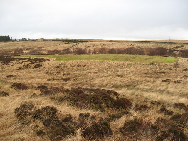
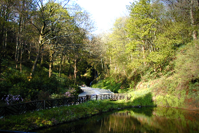
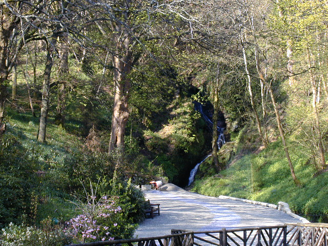
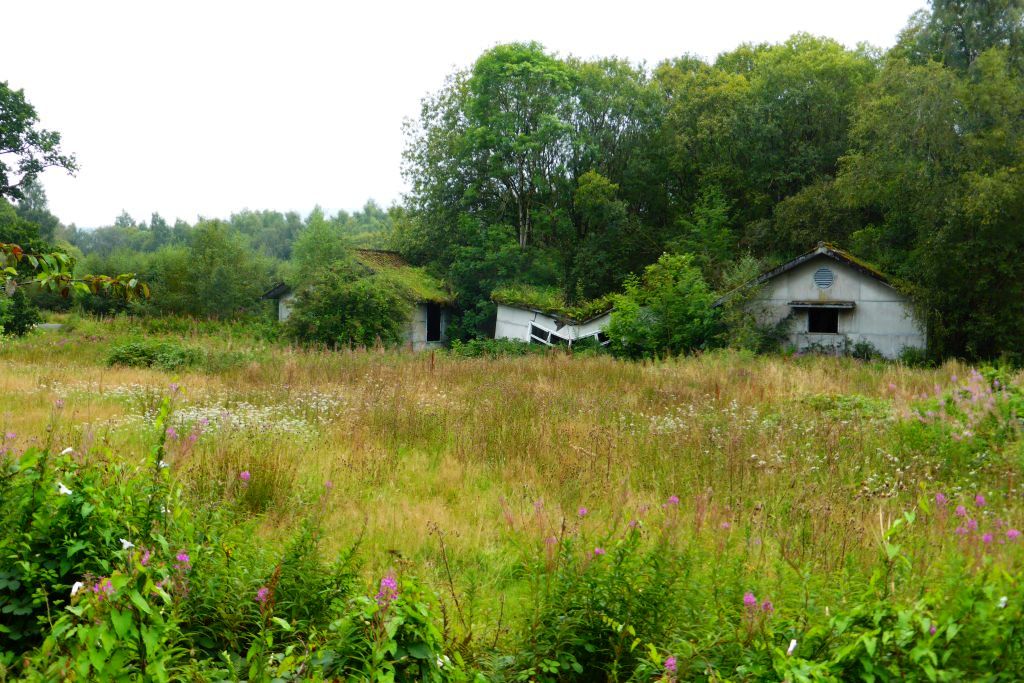
Bog Wood, located in Stirlingshire, Scotland, is a picturesque forest area renowned for its unique landscape and ancient history. Spanning approximately 391 hectares, this woodland is situated within the larger Trossachs National Park, offering visitors a chance to immerse themselves in the natural beauty of the region.
The defining feature of Bog Wood is its abundance of preserved ancient trees that have been preserved due to the waterlogged conditions of the area. These trees, which have been carbon-dated to be over 5,000 years old, provide a glimpse into the past and offer scientists and nature enthusiasts alike a rare opportunity to study ancient wood and its associated flora and fauna.
The forest is characterized by dense vegetation, including various species of mosses, ferns, and wildflowers, creating a lush and vibrant environment. The area is also home to a diverse range of wildlife, including red deer, roe deer, foxes, and a variety of bird species.
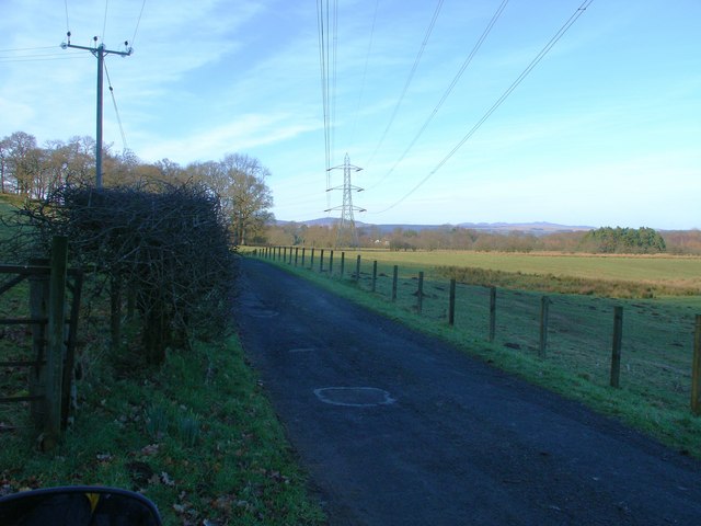
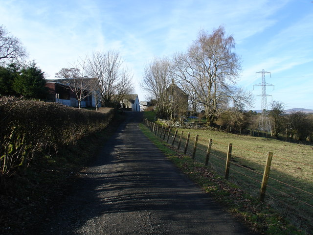
Visitors to Bog Wood can explore the forest through a network of well-maintained trails, which allow for peaceful walks and hikes. The tranquil atmosphere and beautiful scenery make it an ideal destination for nature lovers and those seeking solace in the outdoors.
Bog Wood offers a unique opportunity to experience a piece of Scotland's ancient past and enjoy the serenity of its natural environment. With its rich history, diverse wildlife, and stunning landscapes, this woodland in Stirlingshire is a must-visit destination for both locals and tourists alike.
If you have any feedback on the listing, please let us know in the comments section below.
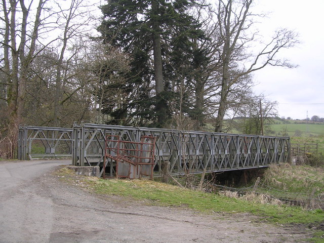
Bog Wood Images
Images are sourced within 2km of 56.021426/-4.3833669 or Grid Reference NS5183. Thanks to Geograph Open Source API. All images are credited.

Bog Wood is located at Grid Ref: NS5183 (Lat: 56.021426, Lng: -4.3833669)
Unitary Authority: Stirling
Police Authority: Forth Valley
What 3 Words
///blanks.reissued.dined. Near Killearn, Stirling
Nearby Locations
Related Wikis
Dumgoyne railway station
Dumgoyne railway station served the village of Killearn, Stirling, Scotland from 1867 to 1951 on the Blane Valley Railway. == History == The station was...

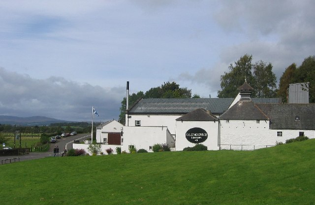
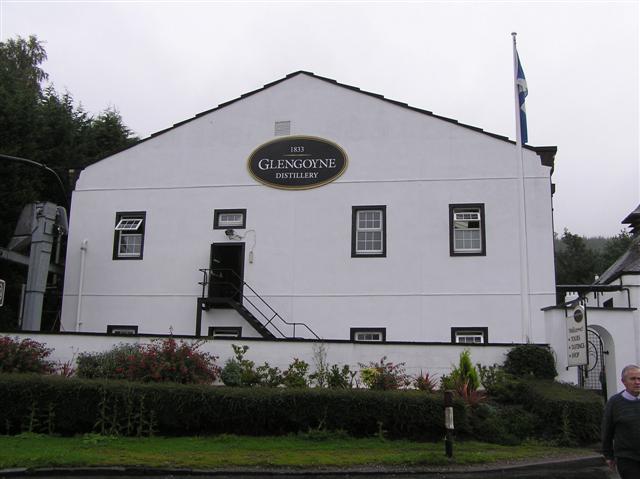
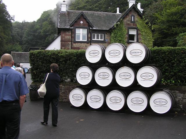
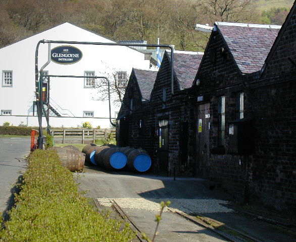
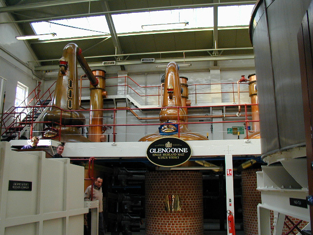
Glengoyne distillery
Glengoyne distillery is a whisky distillery continuously in operation since its founding in 1833 at Dumgoyne, north of Glasgow, Scotland. Glengoyne is...
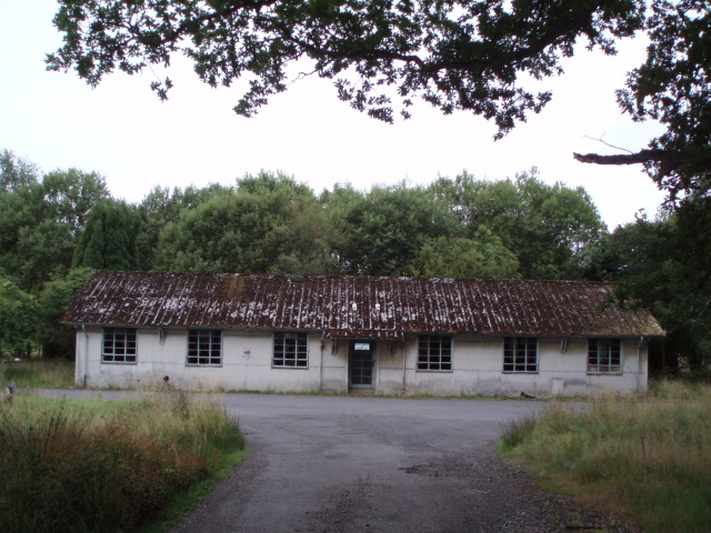
Killearn Hospital
Killearn Hospital was a health facility at Killearn in the Stirling council area of Scotland. == History == The hospital was established as one of seven...

Killearn railway station
Killearn railway station served the village of Killearn, Stirling, Scotland from 1882 to 1951 on the Blane Valley Railway. == History == The station opened...
Nearby Amenities
Located within 500m of 56.021426,-4.3833669Have you been to Bog Wood?
Leave your review of Bog Wood below (or comments, questions and feedback).