Bull Wood
Wood, Forest in Renfrewshire
Scotland
Bull Wood
Bull Wood, located in Renfrewshire, is a lush and vibrant forest that encompasses an area of approximately 200 acres. Situated near the town of Lochwinnoch, this woodland area is renowned for its natural beauty and diverse ecosystem, attracting nature enthusiasts and hikers alike.
The forest is primarily composed of deciduous and coniferous trees, including oak, beech, and Scots pine, which create a dense canopy overhead, providing shade and shelter for a variety of wildlife. The woodland floor is adorned with an array of wildflowers, ferns, and mosses, adding to the enchanting atmosphere of the forest.
Bull Wood is crisscrossed with an intricate network of well-maintained trails, making it an ideal destination for walkers and cyclists. These paths lead visitors through the heart of the forest, offering glimpses of tranquil ponds, babbling brooks, and picturesque glades.
The forest is home to a diverse range of wildlife, including red squirrels, roe deer, and an abundance of bird species, such as woodpeckers and tawny owls. It also serves as an important habitat for a variety of insects, including butterflies and dragonflies.
In addition to its natural charm, Bull Wood also boasts historical significance. The remains of ancient ditches and earthworks can be found within the woodland, hinting at its rich past.
Bull Wood, Renfrewshire, is a haven for nature lovers, offering a captivating blend of scenic beauty, tranquility, and historical intrigue. Whether one seeks a peaceful stroll or a deeper exploration of the local ecosystem, this forest is a true gem of Renfrewshire.
If you have any feedback on the listing, please let us know in the comments section below.
Bull Wood Images
Images are sourced within 2km of 55.83111/-4.3778558 or Grid Reference NS5162. Thanks to Geograph Open Source API. All images are credited.


Bull Wood is located at Grid Ref: NS5162 (Lat: 55.83111, Lng: -4.3778558)
Unitary Authority: Renfrewshire
Police Authority: Renfrewshire and Inverclyde
What 3 Words
///report.gasp.park. Near Paisley, Renfrewshire
Nearby Locations
Related Wikis

Hawkhead Castle
Hawkhead Castle was a castle existing in the 17th century, about 1 mile (1.6 km) east of Paisley, Renfrewshire, Scotland, south of the White Cart River...
Hawkhead
Hawkhead (Scots: Hauchheid, Scottish Gaelic: Ceann an Dail) is an area near Paisley in Renfrewshire, Scotland. The village is on the Hawkhead Burn and...
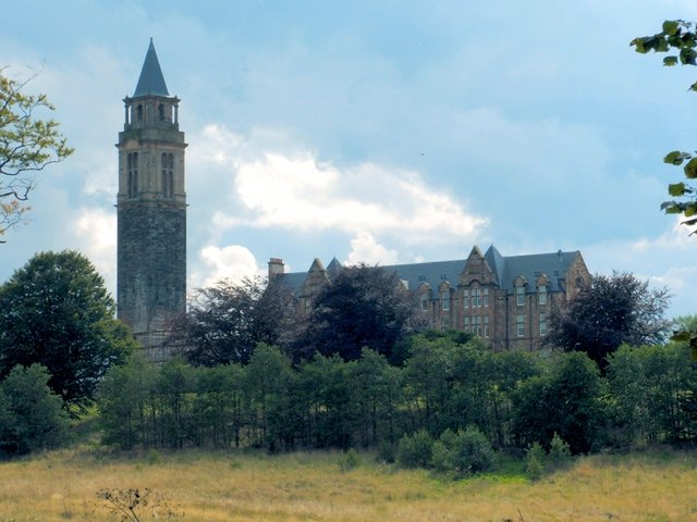
Leverndale Hospital
Leverndale Hospital is a mental health facility at Crookston, Glasgow, Scotland. It is managed by NHS Greater Glasgow and Clyde. The Towerview Unit, which...
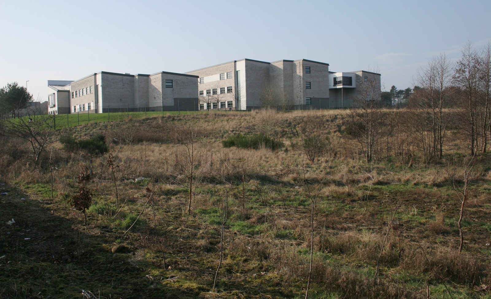
St Andrew's Academy, Paisley
St Andrew's Academy is a Roman Catholic secondary school in Hawkhead, Paisley, Scotland. The school was opened in 1990, with its importance growing in...

Hawkhead Hospital
Hawkhead Hospital was a health facility on Hawkhead Road in Hawkhead, Renfrewshire, Scotland. The complex is Grade B listed. == History == The facility...
Dykebar railway station
Dykebar was a railway station in the Dykebar area to the south of Paisley, Renfrewshire, Scotland. The station was originally part of the Paisley and...

Levern Water
The Levern Water, (Scottish Gaelic: Uisge Labharain) is a small river in East Renfrewshire and Glasgow, Scotland. It rises in the Long Loch, and flows...

Roughmussel
Roughmussel is a neighbourhood in the Scottish city of Glasgow. It is situated south of the River Clyde near to the city boundaries with East Renfrewshire...
Nearby Amenities
Located within 500m of 55.83111,-4.3778558Have you been to Bull Wood?
Leave your review of Bull Wood below (or comments, questions and feedback).