Capel-Dewi
Settlement in Cardiganshire
Wales
Capel-Dewi

The requested URL returned error: 429 Too Many Requests
If you have any feedback on the listing, please let us know in the comments section below.
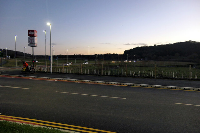
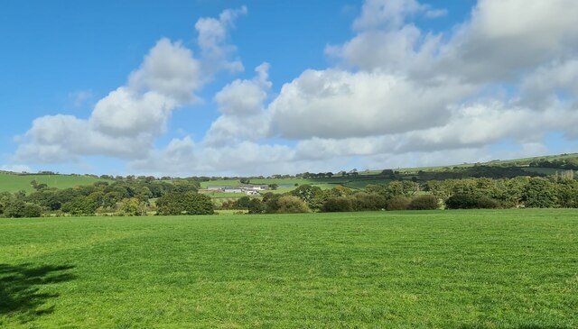
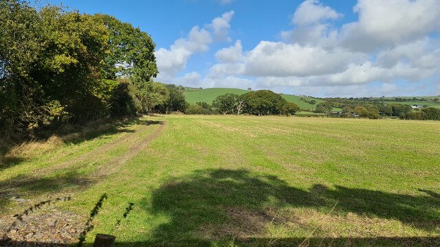
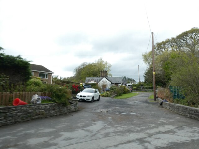
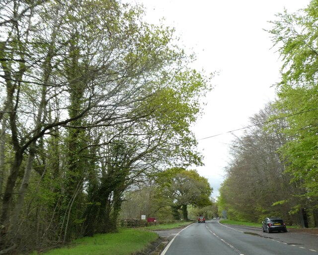
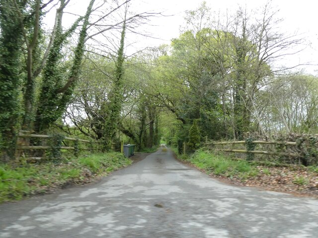
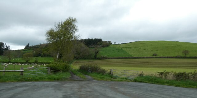
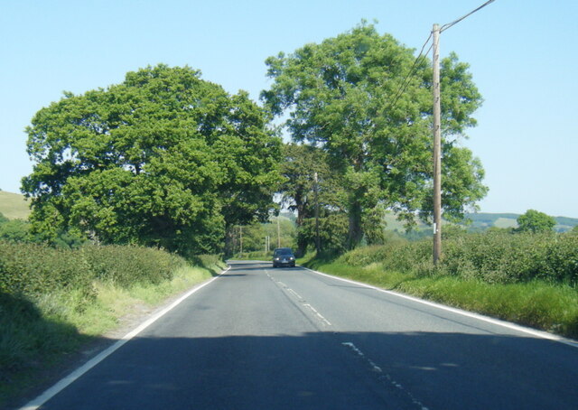
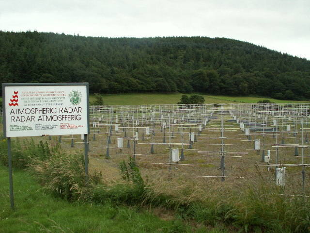
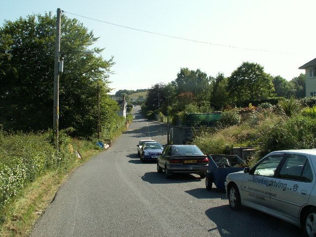
Capel-Dewi Images
Images are sourced within 2km of 52.421524/-4.017147 or Grid Reference SN6282. Thanks to Geograph Open Source API. All images are credited.


Capel-Dewi is located at Grid Ref: SN6282 (Lat: 52.421524, Lng: -4.017147)
Unitary Authority: Ceredigion
Police Authority: Dyfed Powys
What 3 Words
///escaping.closed.flashback. Near Bow Street, Ceredigion
Nearby Locations
Related Wikis
Capel Dewi, Faenor
Capel Dewi is a hamlet in Ceredigion, Wales, approximately 3.5 miles (5.6 km) east of Aberystwyth. It is one of two settlements called Capel Dewi in the...
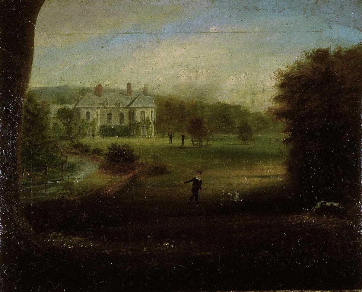
Gogerddan
Gogerddan, or in English, Gogarthen, was an estate near to Trefeurig and the most important in what was then the county of Cardiganshire, Wales. Owned...

Faenor, Ceredigion
Faenor is a community and electoral ward sharing a boundary with the town of Aberystwyth in Ceredigion, Wales.Faenor also has two community wards which...
Comins Coch
Comins Coch (officially spelt Comins-coch) is a small village in Ceredigion, Wales, to the northeast of Aberystwyth. The village is covered by Faenor community/parish...
Nearby Amenities
Located within 500m of 52.421524,-4.017147Have you been to Capel-Dewi?
Leave your review of Capel-Dewi below (or comments, questions and feedback).