Burnhouse Brae Wood

Wood, Forest in Ayrshire

Scotland

Burnhouse Brae Wood

End-terrace on Maxwood Road
End-terrace on Maxwood Road Credit: Alan Reid

Burnhouse Brae Wood is a picturesque woodland located in Ayrshire, Scotland. Spanning an area of approximately 20 acres, it is an enchanting destination for nature lovers and outdoor enthusiasts. The wood is situated on a steep slope, adding to its charm and providing visitors with breathtaking views of the surrounding countryside.

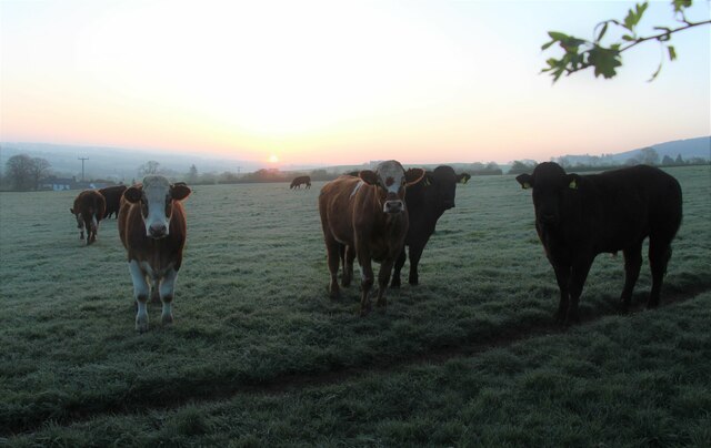
The wood boasts a diverse range of tree species, including oak, birch, beech, and pine. These trees create a rich and vibrant canopy, offering shade and shelter to an array of wildlife. Visitors can expect to spot various bird species, such as woodpeckers, owls, and thrushes, as well as small mammals like squirrels and rabbits.

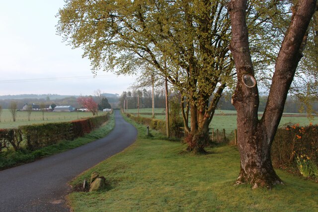
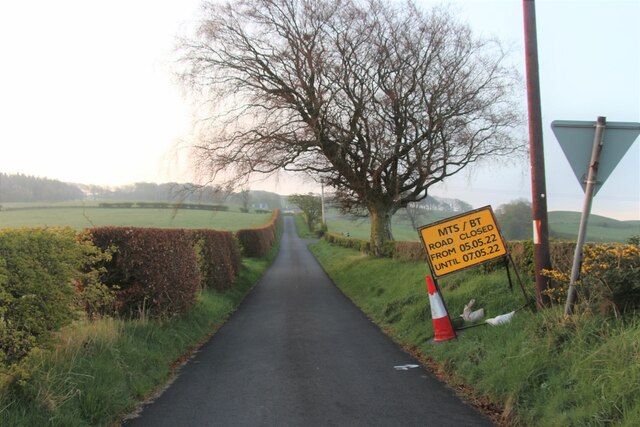
A network of well-maintained trails winds through Burnhouse Brae Wood, allowing visitors to explore its beauty at their own pace. These paths are suitable for walkers of all abilities and offer opportunities for gentle strolls or more challenging hikes. Along the way, there are informative signs providing details about the flora and fauna found within the wood, enhancing the educational experience.

The wood is also a popular spot for picnicking and family outings. There are picnic benches scattered throughout, offering visitors a chance to relax and enjoy the tranquil surroundings. Additionally, a small parking area is available for those arriving by car.

Burnhouse Brae Wood is a hidden gem in Ayrshire, offering visitors a peaceful and immersive experience in nature. Whether it's a leisurely walk, a bird-watching session, or a family picnic, this woodland provides a perfect escape from the hustle and bustle of everyday life.

If you have any feedback on the listing, please let us know in the comments section below.

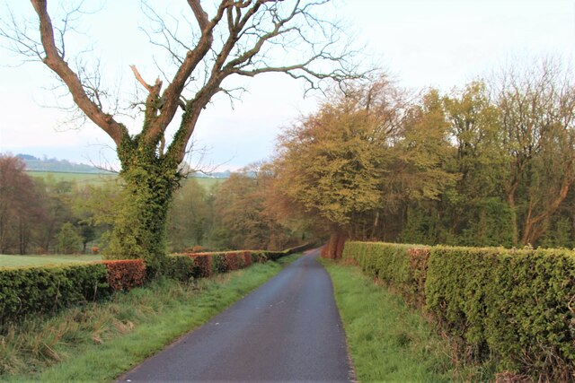
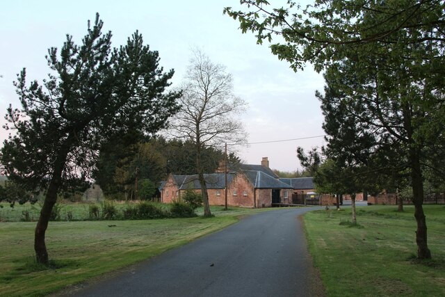
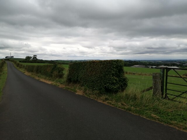
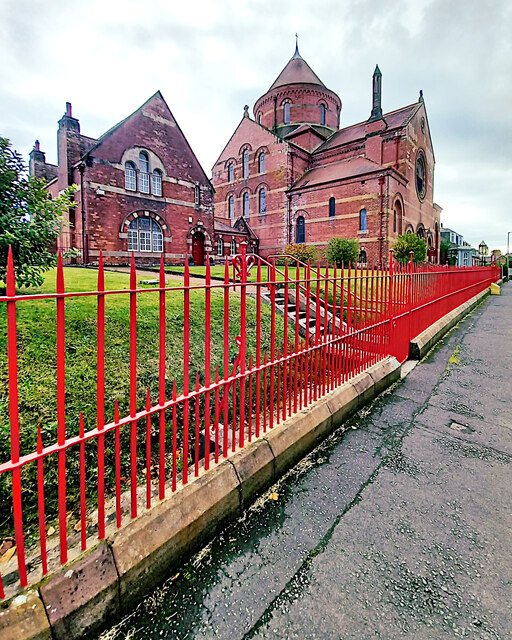
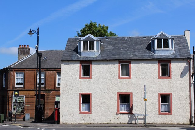
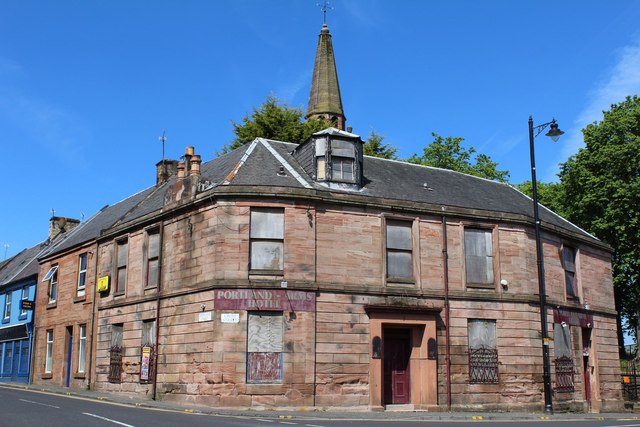
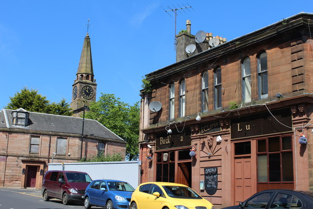
Burnhouse Brae Wood Images

Images are sourced within 2km of 55.591412/-4.3643323 or Grid Reference NS5135. Thanks to Geograph Open Source API. All images are credited.

End-terrace on Maxwood Road
Sunrise over a herd of Ayrshires
Road through Maxwood Holdings
Road to Middle Third
Spring leaves in rural Ayrshire
The B7037 at Sornhill Heading for Galston.
The B7037 at Sornhill
Heading for Galston.
Road to Sornbeg
Road to Sornbeg
A damp patch at Oldwalls
Waterside, Galston
Waterside, Galston
Minor road south of Galston This road runs between Sornhill and Newmilns. It is seen here from just east of the junction with minor road that goes to Priestland.
Minor road south of Galston
This road runs between Sornhill and Newmilns. It is seen here from just east of the junction with minor road that goes to Priestland.
Barr Castle - Galston, East Ayrshire The present tower dates from the 16th century and was the family seat of the Lockhart family until 1670. It passed to the Campbell's of Cessnock and was used as a domicile. It has been used as a barn, a grain store, a town jail, a cholera hospital, a wool store, a school and a religious meeting house.
It was acquired by the Duke of Portland for the local Masonic  Lodge, St Peter 331 in 1894, who have maintained it until the present day.
Barr Castle used to be known as Lockhart’s Tower. One of the Lockharts of Barr is reputed to have been one of the men associated with returning Robert the Bruce's heart to Scotland after it had been lost in a battle abroad by James Douglas who carried it to the Crusades as a dying wish of the famous King.
The Scottish Reformers William Wishart and John Knox preached in this place A.D. 1545 and 1556 respectively.
Barr Castle - Galston, East Ayrshire
The present tower dates from the 16th century and was the family seat of the Lockhart family until 1670. It passed to the Campbell's of Cessnock and was used as a domicile. It has been used as a barn, a grain store, a town jail, a cholera hospital, a wool store, a school and a religious meeting house. It was acquired by the Duke of Portland for the local Masonic Lodge, St Peter 331 in 1894, who have maintained it until the present day. Barr Castle used to be known as Lockhart’s Tower. One of the Lockharts of Barr is reputed to have been one of the men associated with returning Robert the Bruce's heart to Scotland after it had been lost in a battle abroad by James Douglas who carried it to the Crusades as a dying wish of the famous King. The Scottish Reformers William Wishart and John Knox preached in this place A.D. 1545 and 1556 respectively.
St Sophia's Church - Galston, East Ayrshire St Sophia's church was constructed 1885-6 and designed by architect Sir Robert Rowand Anderson. The third Marquess of Bute commissioned Anderson to bring to Galston this echo of the Byzantine Empire.
 The church is a distinctive building based on Hagia Sophia in Istanbul, which the Marquess had visited and in memory of his mother Lady Sophia Hastings of Loudoun Castle.
 Built in red brick the church is cruciform in shape with a central round tower topped with a conical roof of red tiles.
St Sophia's Church - Galston, East Ayrshire
St Sophia's church was constructed 1885-6 and designed by architect Sir Robert Rowand Anderson. The third Marquess of Bute commissioned Anderson to bring to Galston this echo of the Byzantine Empire. The church is a distinctive building based on Hagia Sophia in Istanbul, which the Marquess had visited and in memory of his mother Lady Sophia Hastings of Loudoun Castle. Built in red brick the church is cruciform in shape with a central round tower topped with a conical roof of red tiles.
Barr Castle - Galston, East Ayrshire The present tower dates from the 16th century and was the family seat of the Lockhart family until 1670. It passed to the Campbell's of Cessnock and was used as a domicile. It has been used as a barn, a grain store, a town jail, a cholera hospital, a wool store, a school and a religious meeting house.
It was acquired in 1894 by the Duke of Portland for the local Masonic Lodge, St Peter 331, who have maintained it until the present day.
Barr Castle used to be known as Lockhart’s Tower. One of the Lockharts of Barr is reputed to have been one of the men associated with returning Robert the Bruce's heart to Scotland after it had been lost in a battle abroad by James Douglas who carried it to the Crusades as a dying wish of the famous King.
The Scottish Reformers William Wishart and John Knox preached in this place A.D. 1545 and 1556 respectively.
Barr Castle - Galston, East Ayrshire
The present tower dates from the 16th century and was the family seat of the Lockhart family until 1670. It passed to the Campbell's of Cessnock and was used as a domicile. It has been used as a barn, a grain store, a town jail, a cholera hospital, a wool store, a school and a religious meeting house. It was acquired in 1894 by the Duke of Portland for the local Masonic Lodge, St Peter 331, who have maintained it until the present day. Barr Castle used to be known as Lockhart’s Tower. One of the Lockharts of Barr is reputed to have been one of the men associated with returning Robert the Bruce's heart to Scotland after it had been lost in a battle abroad by James Douglas who carried it to the Crusades as a dying wish of the famous King. The Scottish Reformers William Wishart and John Knox preached in this place A.D. 1545 and 1556 respectively.
Minor Road at Oldwalls Farm Looking towards Sornbeg Cottage.
Minor Road at Oldwalls Farm
Looking towards Sornbeg Cottage.
Site of Galston station, 1997 View NW approaching Galston village. The station had been on the right, on the ex-GSWR line which ran from Kilmarnock (to left) to Darvel (to right) under the road and was closed 6/4/64 to passengers, 6/7/64 to goods.
Site of Galston station, 1997
View NW approaching Galston village. The station had been on the right, on the ex-GSWR line which ran from Kilmarnock (to left) to Darvel (to right) under the road and was closed 6/4/64 to passengers, 6/7/64 to goods.
Church Lane at Cross Street, Galston
Portland Arms Hotel, Galston On the corner of Brewland Street and Cross Street
Portland Arms Hotel, Galston
On the corner of Brewland Street and Cross Street
Buck's Head, Bridge Street, Galston
Show me another place!

Burnhouse Brae Wood is located at Grid Ref: NS5135 (Lat: 55.591412, Lng: -4.3643323)

Unitary Authority: East Ayrshire

Police Authority: Ayrshire

What 3 Words

///towel.mergers.compiler. Near Galston, East Ayrshire

Related Wikis

Cessnock Castle

Cessnock Castle is a 15th-century keep greatly enlarged into a baronial mansion, about 1 mile (1.6 km) south east of Galston, East Ayrshire, Scotland,...

Galston parish

Galston Parish is situated in East Ayrshire, Scotland, some five to ten miles east of Kilmarnock and roughly encompasses the southern half of the Upper...

Galston, East Ayrshire

Galston (Lowland Scots: Gauston, Scottish Gaelic: Baile nan Gall) is a municipality in East Ayrshire, Scotland, which has a population of 5,001 (2001)...

Portland Park, Galston

Portland Park was a football ground in Galston, Scotland. It was the home ground of Galston F.C. == History == Galston were playing at Portland Park when...

Nearby Amenities

Located within 500m of 55.591412,-4.3643323
Power: pole
Lat/Long: 55.5929217/-4.366765
Power: pole
Lat/Long: 55.5925019/-4.3688196
Power: pole
Lat/Long: 55.5926413/-4.3702331
Power: pole
Lat/Long: 55.5927626/-4.3675107
Power: pole
Lat/Long: 55.5932491/-4.3652281
Power: pole
Lat/Long: 55.5935189/-4.3642116
Power: pole
Lat/Long: 55.5937644/-4.3630126
Power: pole
Lat/Long: 55.5940417/-4.3617627
Power: pole
Lat/Long: 55.5942463/-4.3606523
Power: pole
Lat/Long: 55.5944797/-4.3595418
Waste Basket
Lat/Long: 55.5911899/-4.3611307
Power: pole
Lat/Long: 55.5925295/-4.3571055
Power: pole
Lat/Long: 55.5923991/-4.3579108
Power: pole
Lat/Long: 55.5922956/-4.3585894
Power: pole
Lat/Long: 55.5920591/-4.3591368
Power: pole
Lat/Long: 55.5917958/-4.3597023
Power: pole
Lat/Long: 55.5914123/-4.3600959
Power: pole
Lat/Long: 55.5871785/-4.365769
Power: pole
Lat/Long: 55.5876311/-4.3646267
Power: pole
Lat/Long: 55.5880747/-4.3634799
Power: pole
Lat/Long: 55.5886448/-4.363308
Power: pole
Lat/Long: 55.5892022/-4.3631361
Power: pole
Lat/Long: 55.5890539/-4.3616771
Power: pole
Lat/Long: 55.5877589/-4.3685943
Power: pole
Lat/Long: 55.5910199/-4.3675922
Power: pole
Lat/Long: 55.5905776/-4.3683387
Power: pole
Lat/Long: 55.5901634/-4.3690648
Power: pole
Lat/Long: 55.5893926/-4.3689155
Power: pole
Lat/Long: 55.588802/-4.3687865
Power: pole
Lat/Long: 55.5881411/-4.3686689
The data included in this document is from www.openstreetmap.org. The data is made available under ODbL.

Have you been to Burnhouse Brae Wood?

Leave your review of Burnhouse Brae Wood below (or comments, questions and feedback).