Craighat Wood
Wood, Forest in Stirlingshire
Scotland
Craighat Wood
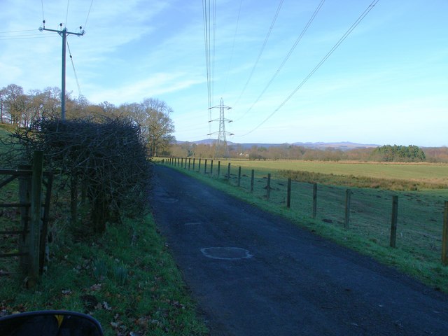
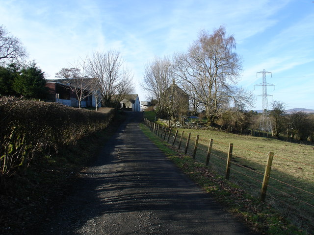
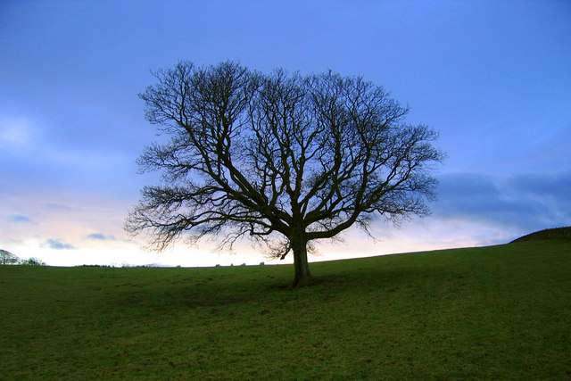
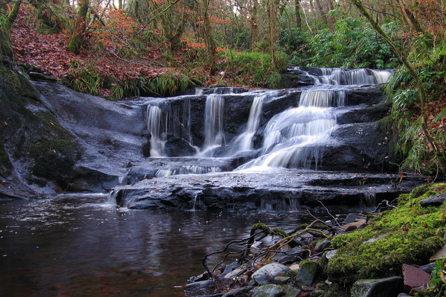
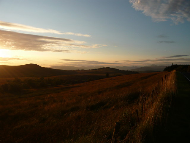
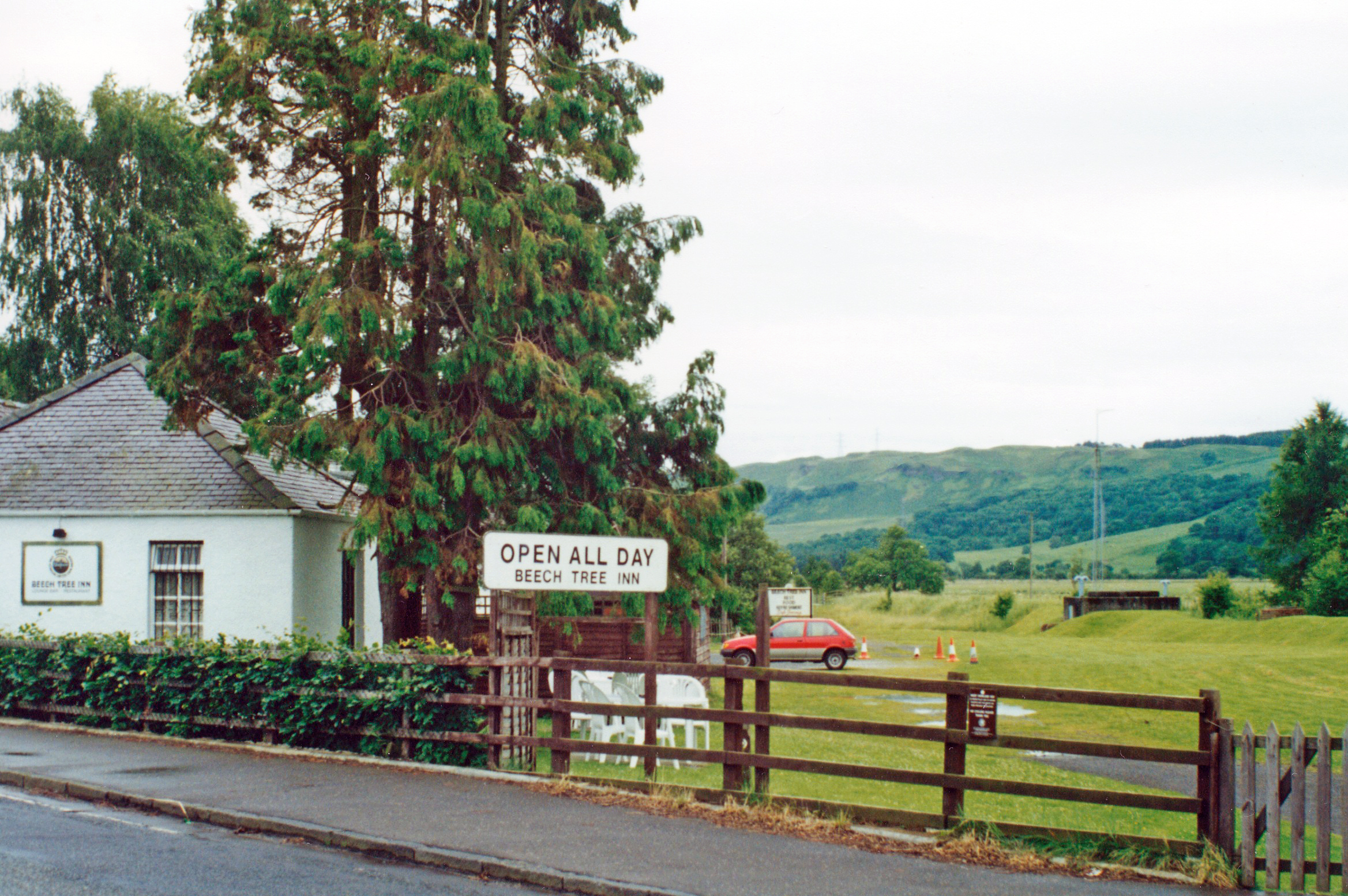
Craighat Wood is a picturesque woodland located in Stirlingshire, Scotland. Covering an area of approximately 50 hectares, this enchanting forest is nestled within the rolling hills and lush greenery of the region. The wood is easily accessible and can be found just south of the village of Kippen.
Upon entering Craighat Wood, visitors are immediately greeted by a tranquil and serene atmosphere. The woodland is predominantly composed of a mix of native trees, including oak, birch, and ash, which create a diverse and vibrant ecosystem. The dense canopy provides ample shade during the summer months, allowing for pleasant walks even on the hottest of days.
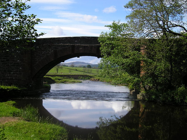
The wood is crisscrossed by a network of well-maintained footpaths, making it an ideal location for leisurely strolls and nature walks. These paths wind through the forest, offering visitors the opportunity to immerse themselves in the peaceful surroundings while observing the various flora and fauna that call Craighat Wood home. Birdwatchers are particularly drawn to the area, as it is known to be a haven for a variety of bird species.
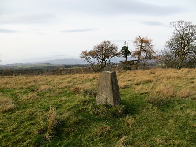
Craighat Wood also boasts a rich historical past, with remnants of an ancient settlement and a burial ground still visible within its boundaries. These archaeological features add an extra layer of intrigue to the wood, making it a fascinating destination for history enthusiasts.
Overall, Craighat Wood is a captivating natural haven, providing a serene escape from the hustle and bustle of everyday life. Stepping into this tranquil woodland is like entering a different world, where one can truly appreciate the beauty and tranquility of nature.
If you have any feedback on the listing, please let us know in the comments section below.
Craighat Wood Images
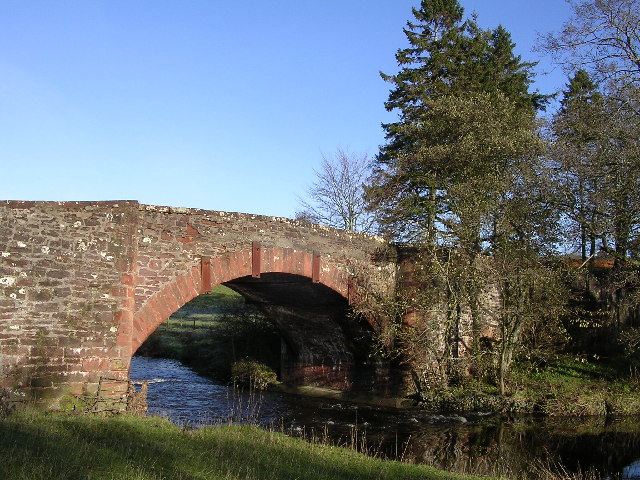
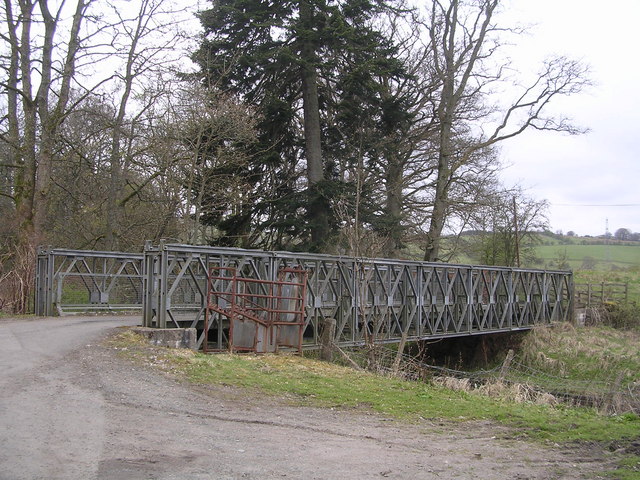
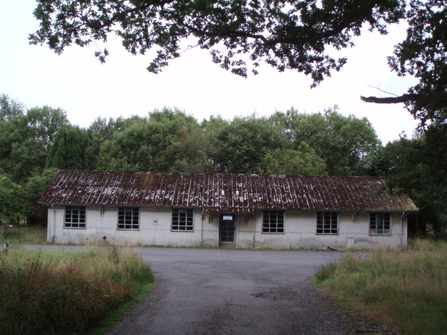
Images are sourced within 2km of 56.025054/-4.4112431 or Grid Reference NS4983. Thanks to Geograph Open Source API. All images are credited.


Craighat Wood is located at Grid Ref: NS4983 (Lat: 56.025054, Lng: -4.4112431)
Unitary Authority: Stirling
Police Authority: Forth Valley
What 3 Words
///hopefully.rides.hardback. Near Killearn, Stirling
Nearby Locations
Related Wikis

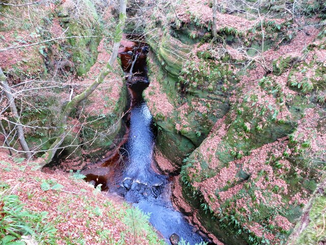
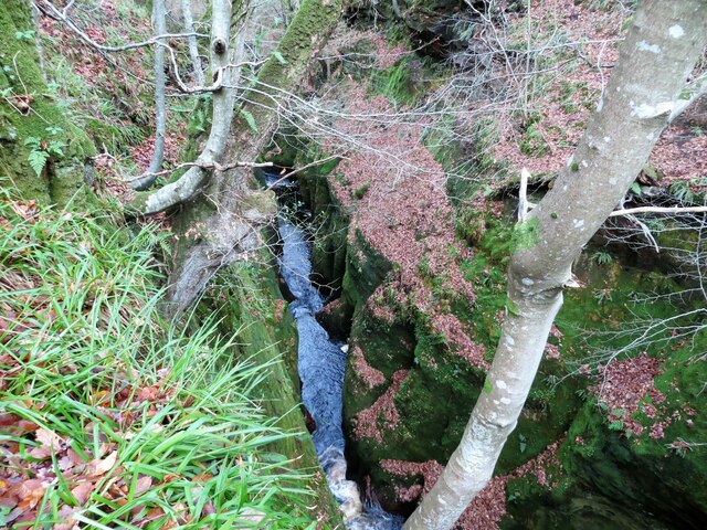
Finnich Glen
Finnich Glen in Stirlingshire, is a short, steep glen up to 70 ft deep which runs east from Finnich Bridge on the A809. It was carved from the red sandstone...
Killearn Hospital
Killearn Hospital was a health facility at Killearn in the Stirling council area of Scotland. == History == The hospital was established as one of seven...

Killearn railway station
Killearn railway station served the village of Killearn, Stirling, Scotland from 1882 to 1951 on the Blane Valley Railway. == History == The station opened...
Dumgoyne railway station
Dumgoyne railway station served the village of Killearn, Stirling, Scotland from 1867 to 1951 on the Blane Valley Railway. == History == The station was...
Nearby Amenities
Located within 500m of 56.025054,-4.4112431Have you been to Craighat Wood?
Leave your review of Craighat Wood below (or comments, questions and feedback).