Crosshouse Plantation
Wood, Forest in Ayrshire
Scotland
Crosshouse Plantation
Crosshouse Plantation is a sprawling woodland located in Ayrshire, Scotland. Covering an area of approximately 1,000 acres, it is a significant natural asset in the region. The plantation is situated on the outskirts of the village of Crosshouse, just a short distance from the town of Kilmarnock.
The woodland is predominantly composed of a mixture of coniferous and deciduous trees, offering a diverse and picturesque landscape. The forest is home to a variety of native tree species, including Scots pine, oak, birch, and beech. These trees provide a habitat for numerous bird species, such as woodpeckers and owls, as well as small mammals like red squirrels and voles.
Crosshouse Plantation boasts a network of well-maintained paths and trails, making it a popular destination for outdoor enthusiasts. Visitors can enjoy leisurely walks or more challenging hikes through the forest, immersing themselves in nature and appreciating the tranquility that the woodland provides. The plantation also offers opportunities for birdwatching, with designated areas where enthusiasts can observe and study the local avifauna.
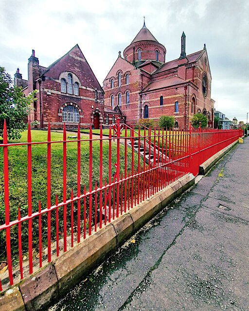
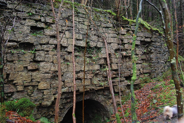
In addition to its natural beauty, Crosshouse Plantation has historical significance. The site was once part of the extensive landholdings of the local aristocracy, and remnants of old estate walls and structures can still be found within the woodland. These remnants serve as a reminder of the area's rich past and add an extra layer of intrigue for those exploring the plantation.
Overall, Crosshouse Plantation is a cherished natural asset in Ayrshire, offering a wide range of activities and opportunities for visitors to connect with nature and enjoy the beauty of the Scottish countryside.
If you have any feedback on the listing, please let us know in the comments section below.
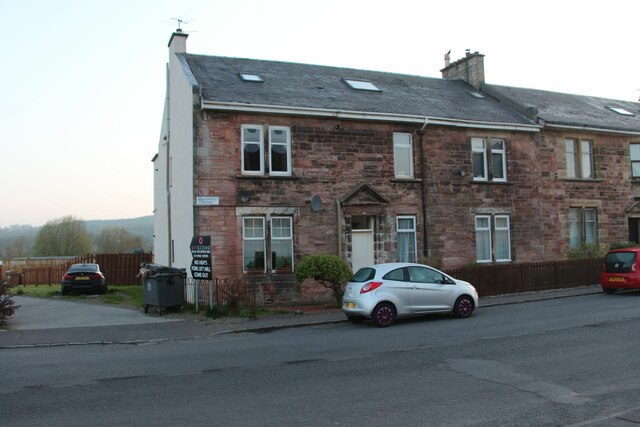
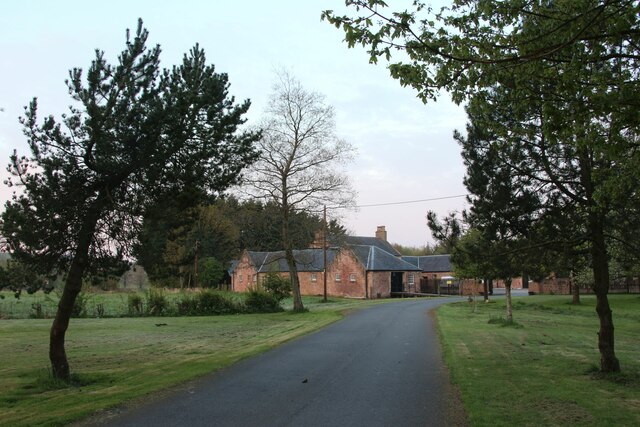
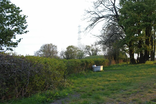
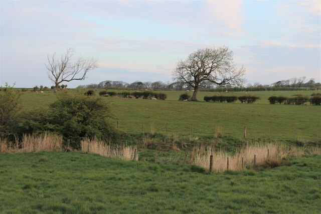
Crosshouse Plantation Images
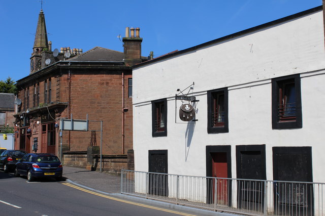
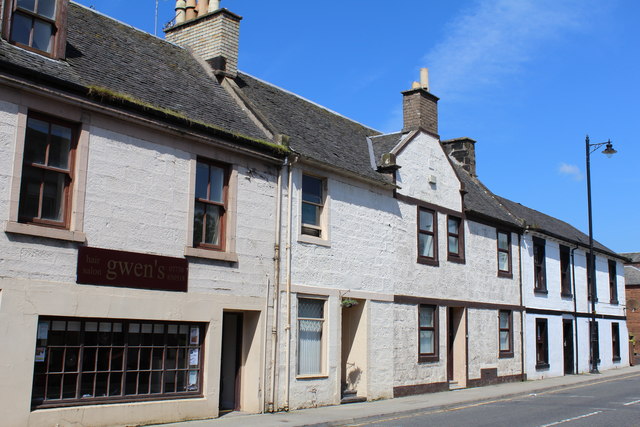
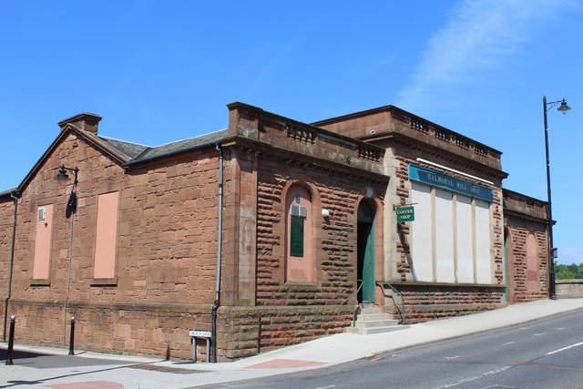
Images are sourced within 2km of 55.614334/-4.3874052 or Grid Reference NS4938. Thanks to Geograph Open Source API. All images are credited.


Crosshouse Plantation is located at Grid Ref: NS4938 (Lat: 55.614334, Lng: -4.3874052)
Unitary Authority: East Ayrshire
Police Authority: Ayrshire
What 3 Words
///newsstand.adhesive.spearing. Near Galston, East Ayrshire
Nearby Locations
Related Wikis

Loudoun Academy, Galston
Loudoun Academy is a secondary school in the outskirts of Galston, East Ayrshire, in Scotland serving the Loudoun district which includes the Irvine Valley...

Loudoun Kirk
Loudoun Kirk is a disused church located about one mile west of Loudoun Castle, East Ayrshire. It served as Loudoun's parish church until some point after...
Loudoun Castle (theme park)
Loudoun Castle was a theme park set around the ruins of the 19th century Loudoun Castle near Galston, in the Loudoun area of Ayrshire, Scotland, United...

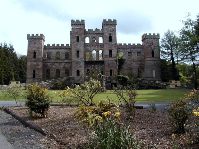
Loudoun Castle
Loudoun Castle is a ruined 19th-century country house near Galston, in the Loudoun area of Ayrshire, Scotland. The ruins are protected as a category A...

Twist n' Shout
Twist n' Shout is a steel looping roller coaster located at Loudoun Castle Theme Park in Galston, south-west Scotland. It opened in 2003 as a part of the...
Portland Park, Galston
Portland Park was a football ground in Galston, Scotland. It was the home ground of Galston F.C. == History == Galston were playing at Portland Park when...
Galston parish
Galston Parish is situated in East Ayrshire, Scotland, some five to ten miles east of Kilmarnock and roughly encompasses the southern half of the Upper...

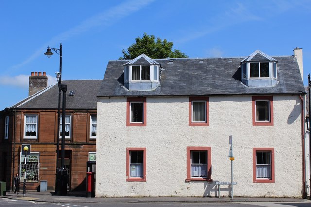
Galston, East Ayrshire
Galston (Lowland Scots: Gauston, Scottish Gaelic: Baile nan Gall) is a municipality in East Ayrshire, Scotland, which has a population of 5,001 (2001)...
Nearby Amenities
Located within 500m of 55.614334,-4.3874052Have you been to Crosshouse Plantation?
Leave your review of Crosshouse Plantation below (or comments, questions and feedback).