Bellsbank Plantation
Wood, Forest in Ayrshire
Scotland
Bellsbank Plantation

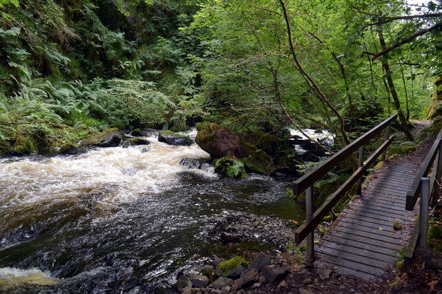
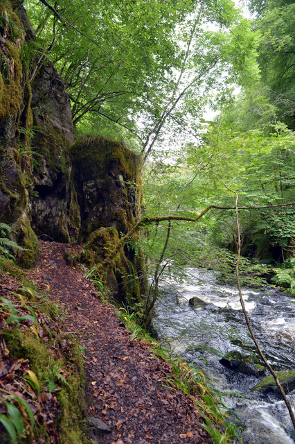
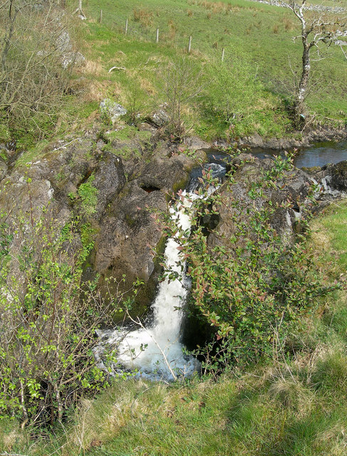
Bellsbank Plantation is a picturesque woodland area located in Ayrshire, Scotland. Covering a vast expanse of approximately 200 acres, this plantation is a natural haven for various species of trees, plants, and wildlife. The plantation is situated near the village of Dalmellington and is easily accessible by road.
The woodland is predominantly composed of native Scottish trees, including oak, birch, and Scots pine, which create a diverse and vibrant ecosystem. These trees provide a habitat for a wide array of wildlife, such as red squirrels, roe deer, and various species of birds. The plantation is particularly known for its population of red squirrels, offering visitors a unique opportunity to observe these charming creatures in their natural environment.
The paths within Bellsbank Plantation make it ideal for leisurely walks and nature exploration. There are several well-maintained trails that wind through the woodland, allowing visitors to fully immerse themselves in the tranquility of the surroundings. The plantation also offers breathtaking views of the surrounding countryside and nearby hills, making it a popular destination for nature lovers, hikers, and photographers.
Bellsbank Plantation is managed by the local forestry commission, ensuring the preservation and conservation of this natural resource. The commission regularly undertakes tree planting and maintenance activities to sustain the health and vitality of the woodland.
Whether you are seeking a peaceful escape from the bustle of everyday life or an opportunity to appreciate Scotland's natural beauty, Bellsbank Plantation is a destination worth exploring. Its rich biodiversity, well-maintained trails, and captivating scenery make it a cherished gem in the heart of Ayrshire.
If you have any feedback on the listing, please let us know in the comments section below.
Bellsbank Plantation Images
Images are sourced within 2km of 55.307166/-4.3861951 or Grid Reference NS4804. Thanks to Geograph Open Source API. All images are credited.


Bellsbank Plantation is located at Grid Ref: NS4804 (Lat: 55.307166, Lng: -4.3861951)
Unitary Authority: East Ayrshire
Police Authority: Ayrshire
What 3 Words
///crafts.operating.winters. Near Bellsbank, East Ayrshire
Nearby Locations
Related Wikis
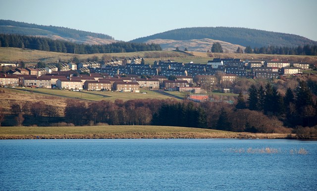
Bellsbank
Bellsbank is a village half a mile away from the market town of Dalmellington in East Ayrshire, Scotland. It is the second-highest place in East Ayrshire...
Dalmellington railway station
Dalmellington railway station served the town of Dalmellington, East Ayrshire, Scotland, from 1856 to 1964 on the Ayr and Dalmellington Railway. ��2�...

Dalmellington
Dalmellington (Scots: Dawmellinton, Scottish Gaelic: Dail M'Fhaolain) is a market town and civil parish in East Ayrshire, Scotland. In 2001 the village...

Doon Academy
Doon Academy is a secondary school in Dalmellington that caters to the local surrounding areas Dalmellington, Patna, Rankinston and Bellsbank. The current...

Loch Doon
Loch Doon (Scottish Gaelic: Loch Dùin, pronounced [l̪ˠɔxˈt̪uːɲ]) is a freshwater loch in Carrick, Scotland. The River Doon issues from its northern end...
Waterside railway station
Waterside railway station served the village of Waterside, East Ayrshire, Scotland, from 1856 to 1964 on the Ayr and Dalmellington Railway. == History... ==
Tairlaw Linn
Tairlaw Linn is a waterfall of Scotland, near Straiton, South Ayrshire. == See also == Waterfalls of Scotland == References ==

Drunmore Linn
Drunmore Linn is a waterfall of Scotland, near Straiton, South Ayrshire. == See also == Waterfalls of Scotland == References ==
Nearby Amenities
Located within 500m of 55.307166,-4.3861951Have you been to Bellsbank Plantation?
Leave your review of Bellsbank Plantation below (or comments, questions and feedback).