Bargower Wood
Wood, Forest in Ayrshire
Scotland
Bargower Wood
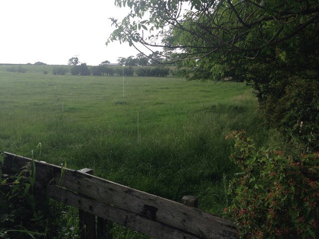
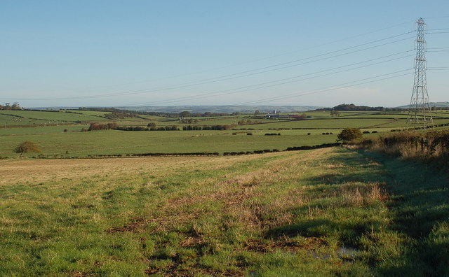
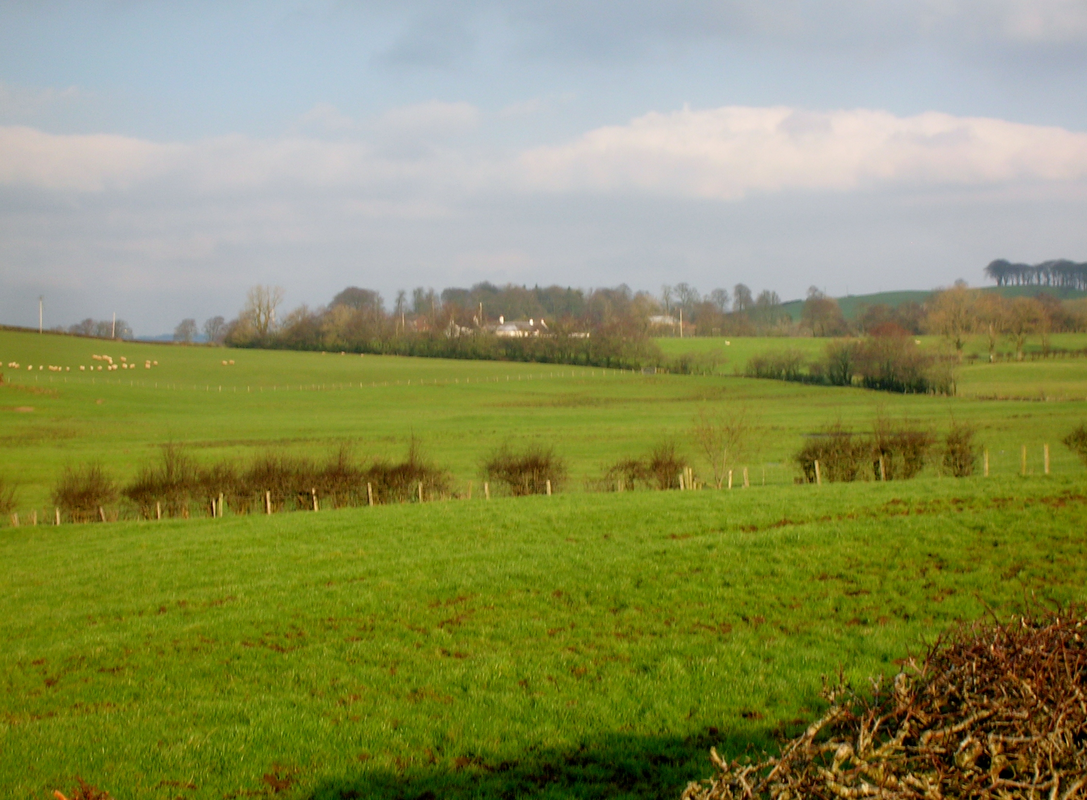
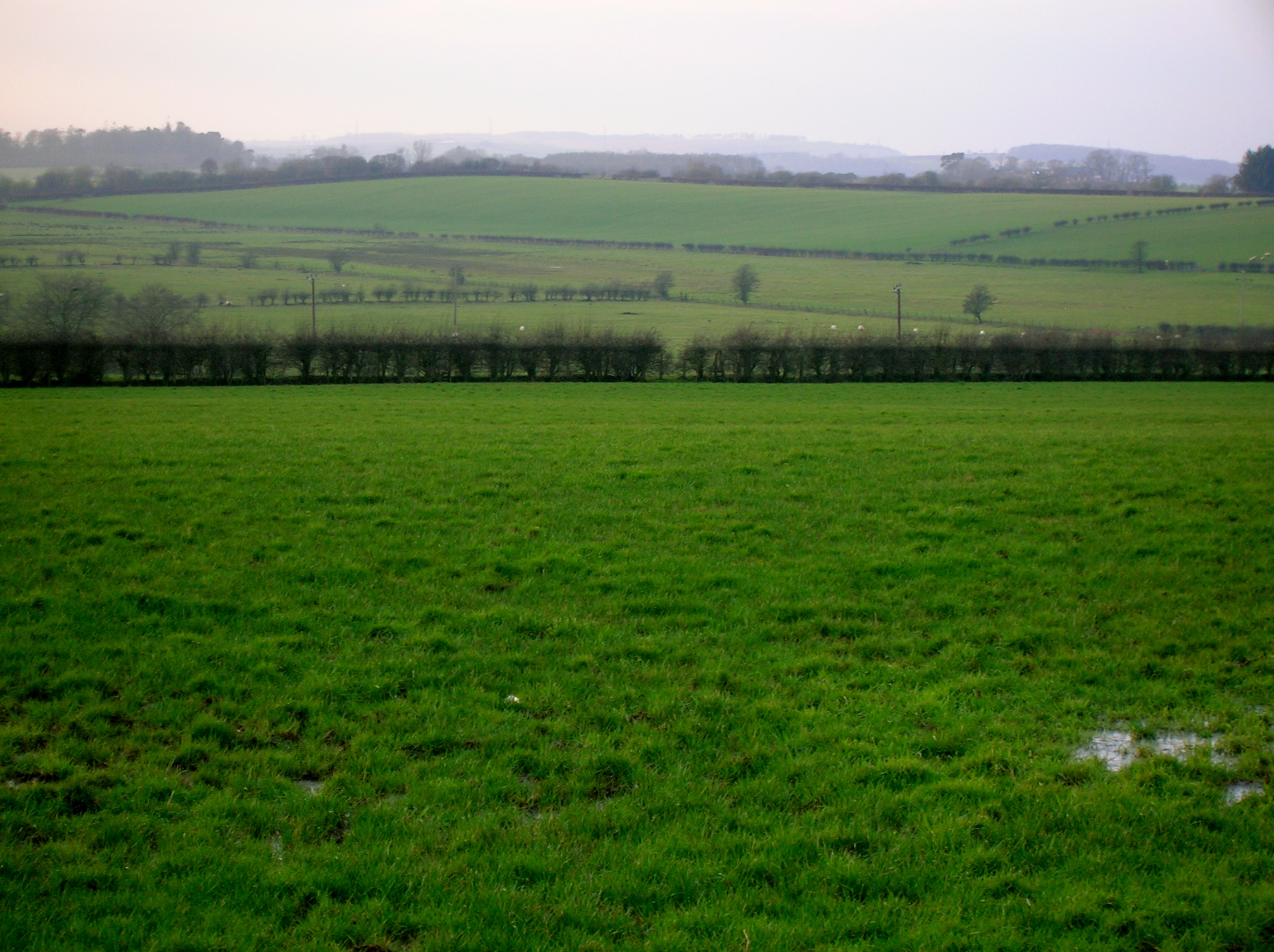
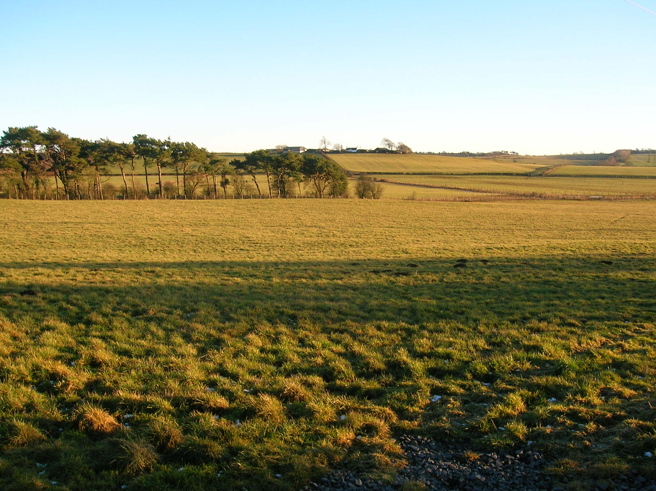
Bargower Wood is a picturesque woodland located in Ayrshire, Scotland. Covering an area of approximately 50 acres, it is a popular destination for nature enthusiasts and those seeking tranquility away from urban life. The wood is situated near the village of Dalrymple, just a few miles from the town of Ayr.
The woodland is predominantly composed of native tree species, including oak, birch, and rowan trees, which contribute to its rich biodiversity. The dense foliage provides a habitat for a wide variety of wildlife, including red squirrels, foxes, and numerous bird species.
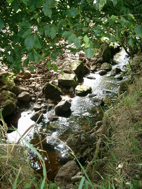
Bargower Wood boasts a network of well-maintained paths and trails, allowing visitors to explore its natural beauty on foot. The paths wind through the wood, offering stunning views of the surrounding countryside and glimpses of the nearby Bargower Burn, a small river that meanders through the woodland.
The wood is also home to several historical features, adding to its charm and cultural significance. These include the remains of an old mill, which once played a central role in the local community, and a disused railway line, which was once used for transporting timber.
Whether you are an avid birdwatcher, an outdoor enthusiast, or simply someone looking for a peaceful retreat, Bargower Wood offers a serene and enchanting experience. Its natural beauty, diverse wildlife, and historical features make it a must-visit destination for anyone exploring the Ayrshire region.
If you have any feedback on the listing, please let us know in the comments section below.
Bargower Wood Images
Images are sourced within 2km of 55.560766/-4.4057222 or Grid Reference NS4832. Thanks to Geograph Open Source API. All images are credited.


Bargower Wood is located at Grid Ref: NS4832 (Lat: 55.560766, Lng: -4.4057222)
Unitary Authority: East Ayrshire
Police Authority: Ayrshire
What 3 Words
///announce.stuffing.perfectly. Near Galston, East Ayrshire
Nearby Locations
Related Wikis
Carnell Estate
Carnell House is a mansion house and estate near the village of Hurlford about 5 miles (8.0 km) south-east of Kilmarnock in South Ayrshire, Scotland, 25...
Whitehill Loch
Whitehill Loch (NS 49240 33240), previously known as Hillhouse Loch was a freshwater loch in the East Ayrshire Council Area, now drained, near Galston...
Bruntwood Loch
Bruntwood Loch (NS 50265 32454) was a freshwater loch, now drained, lying in a glacial kettle hole in Galston, East Ayrshire, Scotland. == The loch... ==
Loch Brown
Loch Brown, also known in Scots as Loch Broun, Broon or Broom, was situated in a kettle hole in the mid-Ayrshire clayland near Crosshands. It is nowadays...
Nearby Amenities
Located within 500m of 55.560766,-4.4057222Have you been to Bargower Wood?
Leave your review of Bargower Wood below (or comments, questions and feedback).