Auchmore Wood
Wood, Forest in Ross-shire
Scotland
Auchmore Wood

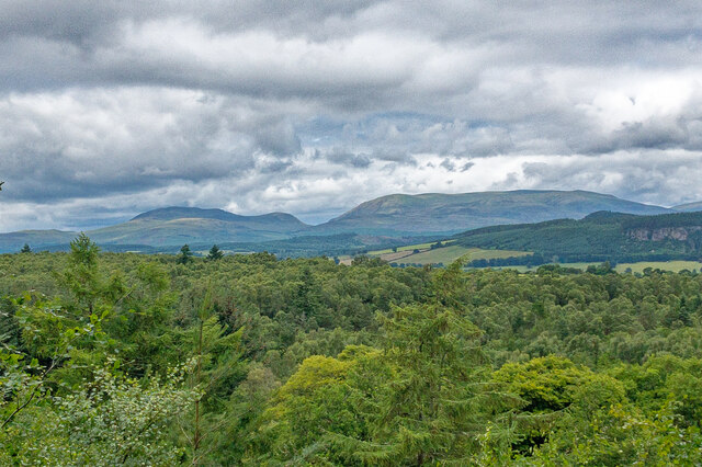
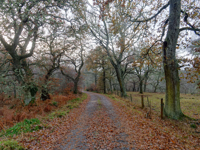
Auchmore Wood is a picturesque forest located in Ross-shire, Scotland. Covering an area of approximately 500 acres, it is a haven for nature enthusiasts and visitors seeking tranquility amidst beautiful surroundings. The wood is situated on a gentle slope, offering stunning views of the surrounding countryside.
The woodland is predominantly composed of native trees such as oak, birch, and pine, creating a diverse and vibrant ecosystem. The forest floor is adorned with a carpet of bluebells during spring, adding a touch of color to the already enchanting landscape. Wildlife is abundant in Auchmore Wood, with sightings of red squirrels, roe deer, and a variety of bird species being common.
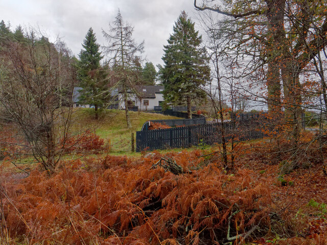
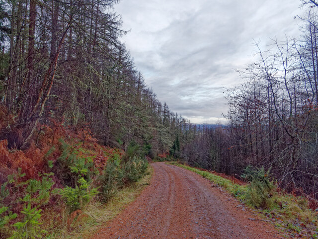
For those wishing to explore the wood, there are several well-maintained trails and paths that wind through the forest. These paths cater to a range of abilities, making it accessible to all. Additionally, there are picnic areas and benches strategically placed throughout the wood, providing visitors with an opportunity to relax and admire the natural beauty.
Auchmore Wood is not only a place of natural beauty but also holds historical significance. There are remnants of an ancient fort within the wood, adding an element of mystery and intrigue to the area.
Overall, Auchmore Wood is a peaceful retreat that offers a unique blend of natural beauty, diverse wildlife, and historical significance. Whether it's for a leisurely stroll, birdwatching, or simply to enjoy the tranquility, this woodland is a must-visit destination for nature lovers and those seeking solace in the heart of Ross-shire.
If you have any feedback on the listing, please let us know in the comments section below.
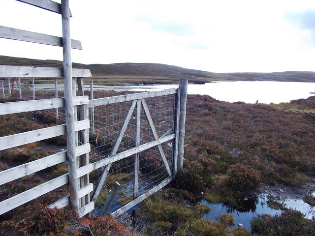
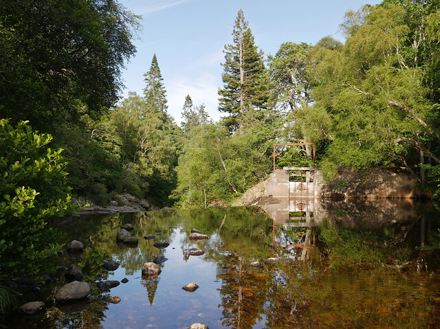
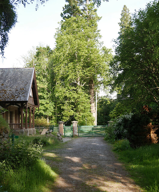
Auchmore Wood Images
Images are sourced within 2km of 57.518197/-4.535542 or Grid Reference NH4850. Thanks to Geograph Open Source API. All images are credited.


Auchmore Wood is located at Grid Ref: NH4850 (Lat: 57.518197, Lng: -4.535542)
Unitary Authority: Highland
Police Authority: Highlands and Islands
What 3 Words
///devours.ruin.transmits. Near Muir of Ord, Highland
Nearby Locations
Related Wikis
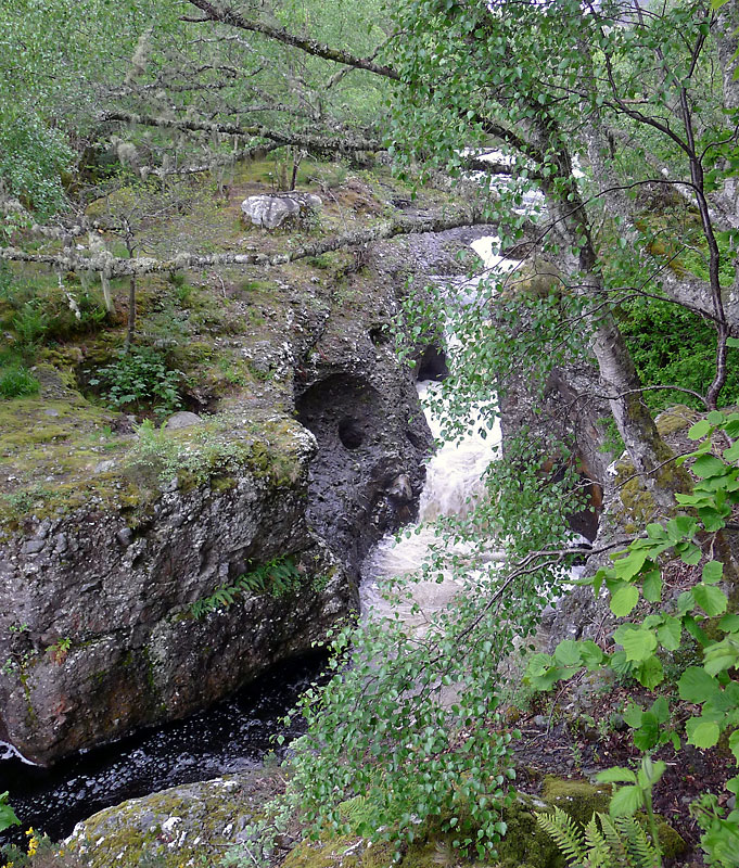
Falls of Orrin
Falls of Orrin is a waterfall on the River Orrin, in the Highlands of Scotland. == See also == Waterfalls of Scotland == References ==

Loch nam Bonnach
Loch nam Bonnach (meaning "Lake of Bannocks" in Scottish Gaelic) is a remote mountain loch, situated on the edge of Farley Wood in the Highland council...
Fairburn Tower
Fairburn Tower is a recently restored Scottish castle near Inverness and Muir of Ord in the parish of Urray. The tower house on a hill above the River...

Marybank
Marybank is a small village in Ross-shire, Scottish Highlands and is in the Scottish council area of Highland. The village of Muir of Ord lies 3 miles...
Nearby Amenities
Located within 500m of 57.518197,-4.535542Have you been to Auchmore Wood?
Leave your review of Auchmore Wood below (or comments, questions and feedback).