The Belts

Wood, Forest in Kirkcudbrightshire

Scotland

The Belts

Pumpkins for sale at Strathmaddie Strathmaddie has pumpkins for sale 'for Halloween carving'. The minor road passing by must see little traffic whether motorised or pedestrian, so sales cannot be high.
Pumpkins for sale at Strathmaddie Credit: Trevor Littlewood

The requested URL returned error: 429 Too Many Requests

If you have any feedback on the listing, please let us know in the comments section below.
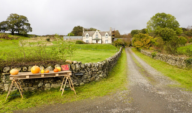
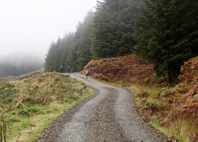
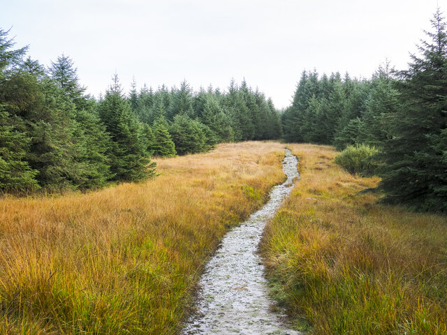
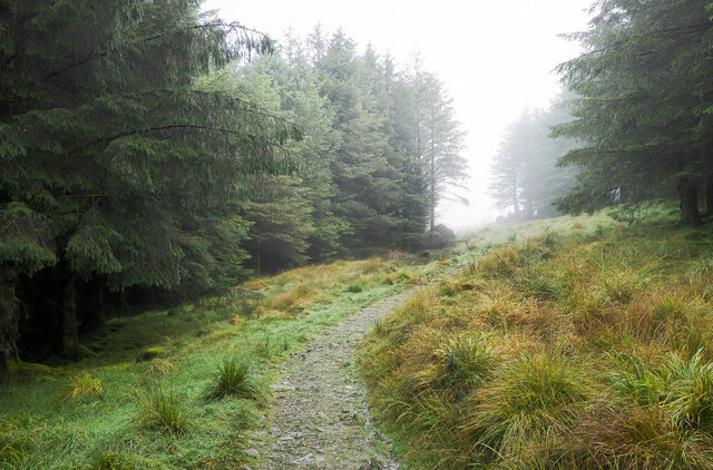
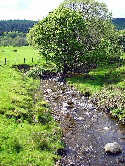
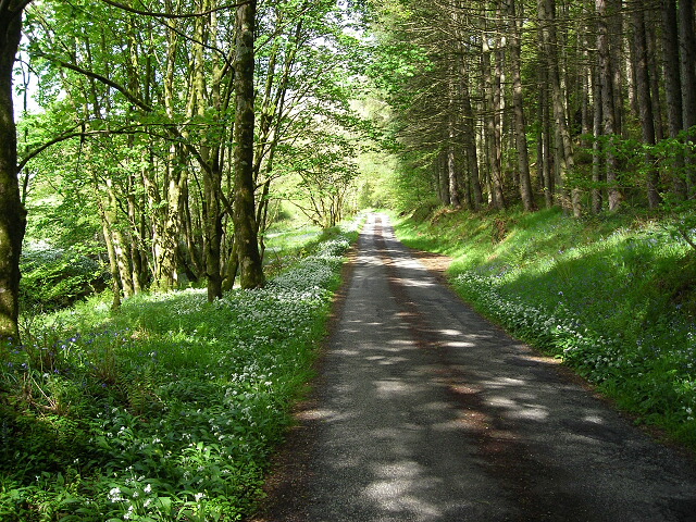
The Belts Images

Images are sourced within 2km of 54.948537/-4.3843338 or Grid Reference NX4764. Thanks to Geograph Open Source API. All images are credited.

Pumpkins for sale at Strathmaddie Strathmaddie has pumpkins for sale 'for Halloween carving'. The minor road passing by must see little traffic whether motorised or pedestrian, so sales cannot be high.
Pumpkins for sale at Strathmaddie
Strathmaddie has pumpkins for sale 'for Halloween carving'. The minor road passing by must see little traffic whether motorised or pedestrian, so sales cannot be high.
Road heading south on the Cairnsmore estate The estate road heading towards Crow Wood.
Road heading south on the Cairnsmore estate
The estate road heading towards Crow Wood.
Path for Cairnsmore of Fleet passing through woodland The main path for Cairnsmore of Fleet beginning to climb north-east of the buildings at Cairnsmore Farm.
Path for Cairnsmore of Fleet passing through woodland
The main path for Cairnsmore of Fleet beginning to climb north-east of the buildings at Cairnsmore Farm.
Walkers on forest road on slope of Ardwell Hill Ardwell Hill is part of a western spur of the hill Cairnsmore of Fleet, it rises to the right out of the image.
Walkers on forest road on slope of Ardwell Hill
Ardwell Hill is part of a western spur of the hill Cairnsmore of Fleet, it rises to the right out of the image.
Forest road on Ardwell Hill Ardwell Hill is a forested, western spur of Cairnsmore of Fleet. Here, the forest road more or less contours around it then continues towards a crossing of the Mill Burn.
Forest road on Ardwell Hill
Ardwell Hill is a forested, western spur of Cairnsmore of Fleet. Here, the forest road more or less contours around it then continues towards a crossing of the Mill Burn.
Minor road close to Palnure Burn The road is heading south towards Graddoch Bridge. The burn is out of view to the right, meandering through fields.
Minor road close to Palnure Burn
The road is heading south towards Graddoch Bridge. The burn is out of view to the right, meandering through fields.
Trees alongside the Palnure Burn The burn can just be detected beside the middle distance trees.
Trees alongside the Palnure Burn
The burn can just be detected beside the middle distance trees.
Bungalow beside Mill Burn The burn flows just below the slope to the right, it then passes beneath the Woodend Bridge from which the image was made.
Bungalow beside Mill Burn
The burn flows just below the slope to the right, it then passes beneath the Woodend Bridge from which the image was made.
Road heading north in valley of Palnure Burn The road is on the eastern side of the burn approaching Bardrochwood and other properties at Bargaly where it terminates, at least for public, motorised use.
Road heading north in valley of Palnure Burn
The road is on the eastern side of the burn approaching Bardrochwood and other properties at Bargaly where it terminates, at least for public, motorised use.
Path over Bardrochwood Moor Bardrochwood Moor is on the western side of Crammery Hill, part of the extensive hill, Cairnsmore of Fleet. The path is the main route used by people climbing the hill.
Path over Bardrochwood Moor
Bardrochwood Moor is on the western side of Crammery Hill, part of the extensive hill, Cairnsmore of Fleet. The path is the main route used by people climbing the hill.
Path approaching exit of coniferous plantation The path has risen through the coniferous planting on Bardrochwood Moor to this location north of Crammery Hill. Crammery Hill and the moor are both part of the major hill, Cairnsmore of Fleet; the path is the main route used by people climbing that hill.
Path approaching exit of coniferous plantation
The path has risen through the coniferous planting on Bardrochwood Moor to this location north of Crammery Hill. Crammery Hill and the moor are both part of the major hill, Cairnsmore of Fleet; the path is the main route used by people climbing that hill.
Across the line of the Torr Burn The Torr Burn, its valley seen just above the foreground rocks, drains the south side of the Knee of Cairnsmore, the right hand hill dome.
The main dome is Cairnsmore of Fleet.
Across the line of the Torr Burn
The Torr Burn, its valley seen just above the foreground rocks, drains the south side of the Knee of Cairnsmore, the right hand hill dome. The main dome is Cairnsmore of Fleet.
Spur between two streams The left side valley, fully in view, is that of the Graddoch Burn. The Torr Burn passes in the foreground to make its confluence with the other.
The hill is known as Knee of Cairnsmore.
Spur between two streams
The left side valley, fully in view, is that of the Graddoch Burn. The Torr Burn passes in the foreground to make its confluence with the other. The hill is known as Knee of Cairnsmore.
Silage bales, Cuil
Silage bales, Cuil
Viaduct - remains of the "Port Line" Not much left of the viaduct near Muirfad, which once carried trains on the Dumfries - Stranraer line
Viaduct - remains of the "Port Line"
Not much left of the viaduct near Muirfad, which once carried trains on the Dumfries - Stranraer line
Burn at Woodend Bridge
Minor Road Flanked by Wild Garlic and Bluebells
Remains of Viaduct Near Muirfad Arches are now boxed in.
Remains of Viaduct Near Muirfad
Arches are now boxed in.
Show me another place!

The Belts is located at Grid Ref: NX4764 (Lat: 54.948537, Lng: -4.3843338)

Unitary Authority: Dumfries and Galloway

Police Authority: Dumfries and Galloway

What 3 Words

///picture.skims.dreamers. Near Newton Stewart, Dumfries & Galloway

Nearby Locations

The Belts

Related Wikis

Palnure railway station

Palnure railway station (NX450634) was a railway station on the Portpatrick and Wigtownshire Joint Railway close to Newton Stewart and the junction for...

Kirroughtree

Kirroughtree Forest is located near Newton Stewart in Dumfries and Galloway, southwest Scotland and overlooks the Irish Sea. It is managed by Forestry...

Palnure

Palnure (Scottish Gaelic: Poll an Iùbhair) is a small village in the historical county of Kirkcudbrightshire in Dumfries and Galloway, Scotland, on the...
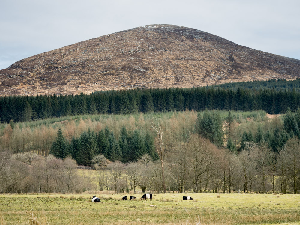
Cairnsmore of Fleet

Cairnsmore of Fleet is an isolated mountain in the Southern Uplands of Scotland. The mountain forms an unafforested granite massif, whose highest point...

Nearby Amenities

Located within 500m of 54.948537,-4.3843338
Cairnsmore
Place: hamlet
Lat/Long: 54.9458389/-4.3897098
Fixme: continue
Lat/Long: 54.9472963/-4.3911088
Fixme: continue
Lat/Long: 54.9469682/-4.3915942
The data included in this document is from www.openstreetmap.org. The data is made available under ODbL.

Have you been to The Belts?

Leave your review of The Belts below (or comments, questions and feedback).