Coldrach Plantation

Wood, Forest in Stirlingshire

Scotland

Coldrach Plantation

Minor road linking Drymen and Gartmore Looking northward towards Bàt a' Charchel.
Minor road linking Drymen and Gartmore Credit: Peter Wood

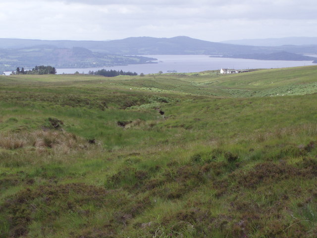
Coldrach Plantation is a picturesque woodland area located in Stirlingshire, Scotland. Spanning over a vast area, the plantation is known for its serene beauty and rich biodiversity. It is situated near the village of Coldrach, nestled between the Ochil Hills and the River Forth.

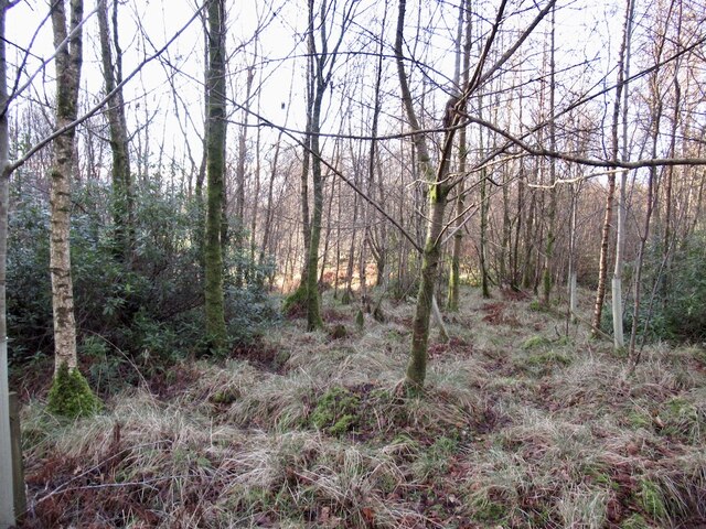
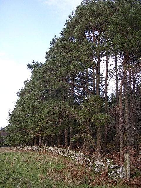
The plantation primarily consists of dense forests, dominated by a variety of tree species, including oak, birch, beech, and pine. The lush greenery provides a habitat for numerous wildlife species, such as red squirrels, deer, and a diverse range of bird species. The area is particularly popular among birdwatchers due to the presence of several rare and protected bird species.

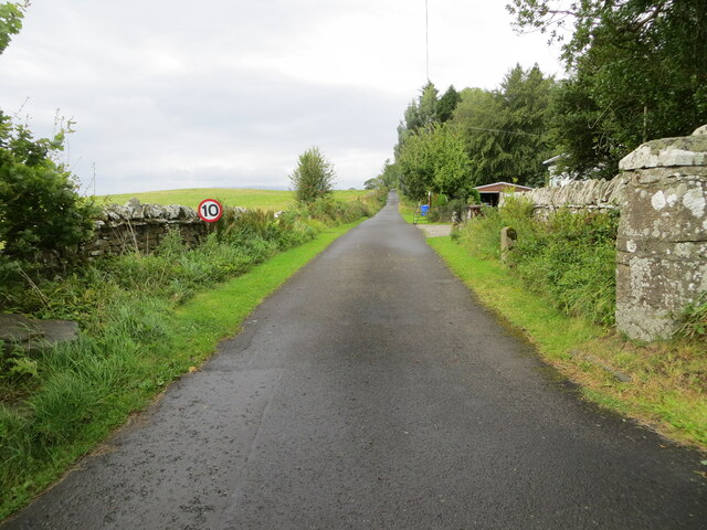
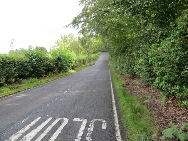
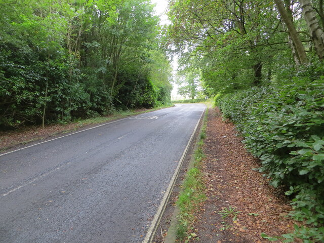
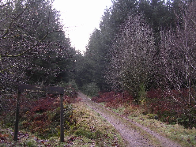
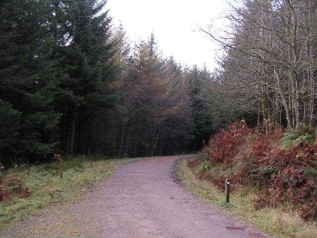
Coldrach Plantation offers a range of recreational activities for nature enthusiasts and outdoor lovers. There are well-maintained walking trails that allow visitors to explore the plantation's natural beauty at their own pace. These trails wind through the enchanting woodlands, offering stunning views of the surrounding countryside.

The plantation also serves as an important carbon sink, playing a significant role in the local ecosystem and mitigating the effects of climate change. Furthermore, it contributes to the preservation of the region's cultural heritage, as it is part of a larger network of historical estates and woodlands in Stirlingshire.

Overall, Coldrach Plantation offers a tranquil retreat for those seeking to connect with nature and enjoy the peaceful surroundings. It is a haven for wildlife, a source of natural beauty, and an integral part of the landscape in Stirlingshire.

If you have any feedback on the listing, please let us know in the comments section below.

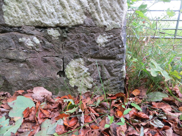
Coldrach Plantation Images

Images are sourced within 2km of 56.085044/-4.4564308 or Grid Reference NS4790. Thanks to Geograph Open Source API. All images are credited.

Minor road linking Drymen and Gartmore Looking northward towards Bàt a' Charchel.
Minor road linking Drymen and Gartmore
Looking northward towards Bàt a' Charchel.
Track through Garadhban Forest Looking north-westward, This section of track is used by the West Highland Way Path.
Track through Garadhban Forest
Looking north-westward, This section of track is used by the West Highland Way Path.
Forest track through High Wood Looking south-eastward. This section of track is used by the West Highland Way Path.
Forest track through High Wood
Looking south-eastward. This section of track is used by the West Highland Way Path.
Minor road near Drymen
Minor road towards Gartmore
Birchwood, Doghouse Glen
A row of terraced cottages Between Drymen and Milton of Buchanan
A row of terraced cottages
Between Drymen and Milton of Buchanan
Track giving access to Coldrach Looking north-westward.
Track giving access to Coldrach
Looking north-westward.
Road (B837) approaching Buchanan Smithy Looking south-eastward.
Road (B837) approaching Buchanan Smithy
Looking south-eastward.
Road (B837) enclosed by woodland near to Whinnydram Looking north-westward.
Road (B837) enclosed by woodland near to Whinnydram
Looking north-westward.
Ordnance Survey Cut Mark This mark can be found on the parapet wall of the bridge that allows the B837 to cross Doghouse Burn.
The recorded details give a height of 56.8513 metres above sea level.
For more detail see : <span class="nowrap"><a title="https://www.bench-marks.org.uk/bm179909" rel="nofollow ugc noopener" href="https://www.bench-marks.org.uk/bm179909">Link</a><img style="margin-left:2px;" alt="External link" title="External link - shift click to open in new window" src="https://s1.geograph.org.uk/img/external.png" width="10" height="10"/></span>
Ordnance Survey Cut Mark
This mark can be found on the parapet wall of the bridge that allows the B837 to cross Doghouse Burn. The recorded details give a height of 56.8513 metres above sea level. For more detail see : LinkExternal link
Garadbhan Forestry Commission Access point into Queen Elizabeth Forest Park above Drymen
Garadbhan Forestry Commission
Access point into Queen Elizabeth Forest Park above Drymen
Edge of the Forest South west tip of Garadh Ban Forest
Edge of the Forest
South west tip of Garadh Ban Forest
Warning. Maximum load 8 tonnes That's what the sign says. There's a small bridge across a burn here.
Warning. Maximum load 8 tonnes
That's what the sign says. There's a small bridge across a burn here.
West Highland Way in Garadhban Forest
Forest Felling Near Drymen Forest felling beside the West Highland Way near Drymen
Forest Felling Near Drymen
Forest felling beside the West Highland Way near Drymen
National Cycle Route No. 7 The back road to Drymen from Gartmore.
National Cycle Route No. 7
The back road to Drymen from Gartmore.
Bad Ochainaich View down the stream to Moorpark house with Loch Lomond in the background
Bad Ochainaich
View down the stream to Moorpark house with Loch Lomond in the background
Show me another place!

Coldrach Plantation is located at Grid Ref: NS4790 (Lat: 56.085044, Lng: -4.4564308)

Unitary Authority: Stirling

Police Authority: Forth Valley

What 3 Words

///audio.weeps.cobbles. Near Killearn, Stirling

Nearby Locations

Coldrach Plantation

Related Wikis

Buchanan Smithy

Buchanan Smithy is a hamlet in Buchanan in the far west of Stirling, Scotland. The current settlement was mostly purpose-built in the 18th century for...

Drymen

Drymen (; from Scottish Gaelic: Druiminn [ˈt̪ɾɯmɪɲ]) is a village in the Stirling district of central Scotland. Once a popular stopping place for cattle...

Buchanan Castle

Buchanan Castle is a ruined castle in Stirlingshire, Scotland, located 1 mile (1.6 km) west of the village of Drymen. The house was commissioned by The...

Buchanan Auld House

Buchanan Auld House (or Buchanan Old House) is a ruined house in Stirlingshire, Scotland, located 1.5 miles (2.4 km) west of the village of Drymen. Historic...

Nearby Amenities

Located within 500m of 56.085044,-4.4564308
Backcountry: yes
Camp Site: basic
Capacity Tents: 2
Informal: yes
Tents: only
Tourism: camp_site
Lat/Long: 56.0856215/-4.4643957
Leisure: firepit
Lat/Long: 56.0856047/-4.4644086
The data included in this document is from www.openstreetmap.org. The data is made available under ODbL.

Have you been to Coldrach Plantation?

Leave your review of Coldrach Plantation below (or comments, questions and feedback).