Angle Plantation

Wood, Forest in Stirlingshire

Scotland

Angle Plantation

Track through Garadhban Forest Looking north-westward, This section of track is used by the West Highland Way Path.
Track through Garadhban Forest Credit: Peter Wood

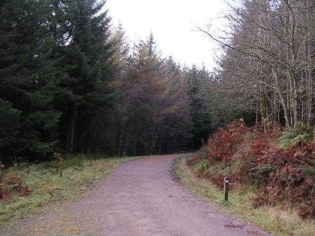
Angle Plantation is a picturesque woodland located in Stirlingshire, Scotland. It is nestled within the stunning landscape of the southern Highlands and covers an area of approximately 300 acres. The plantation is known for its diverse range of tree species, creating a flourishing forest ecosystem.

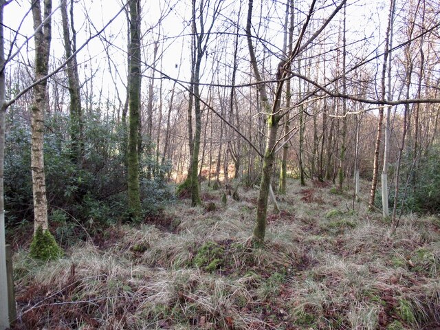
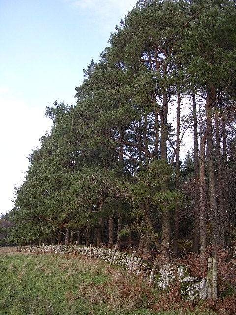
The woodland is predominantly made up of native trees such as oak, birch, and pine, which provide a habitat for a wide array of wildlife. The forest floor is carpeted with a vibrant tapestry of wildflowers, adding to the natural beauty of the area. The plantation also boasts a small loch, which attracts various bird species and provides a tranquil spot for visitors to enjoy.

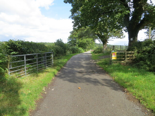
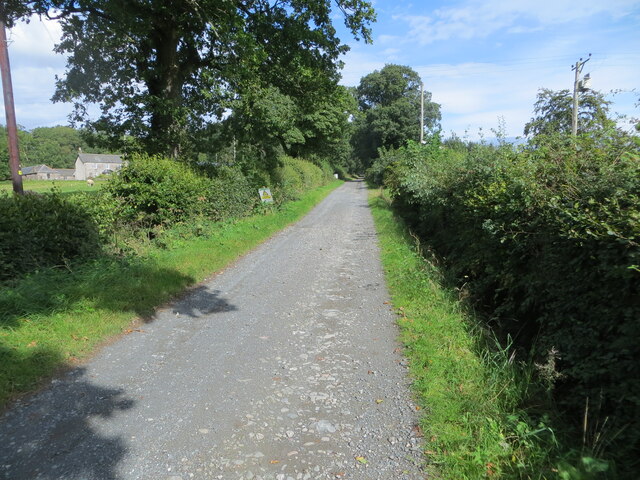
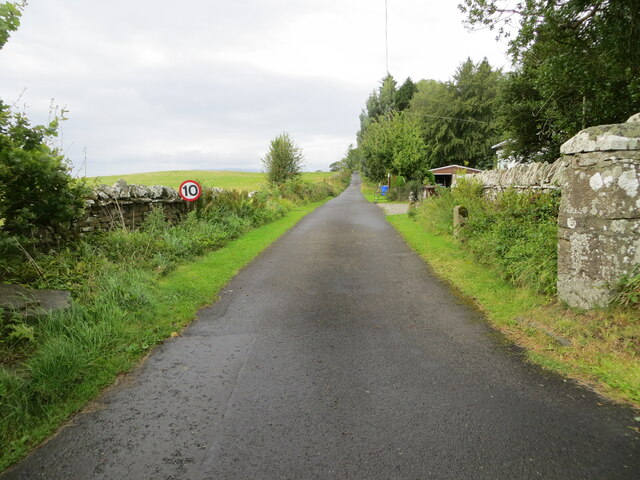
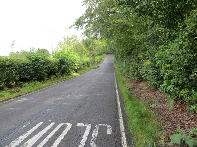
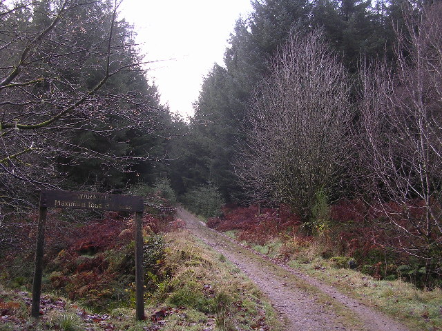
Angle Plantation offers a network of well-maintained walking trails that wind through the forest, allowing visitors to explore the area at their own pace. These paths offer stunning views of the surrounding countryside, providing a perfect opportunity for nature enthusiasts and hikers to experience the beauty of the Scottish Highlands.

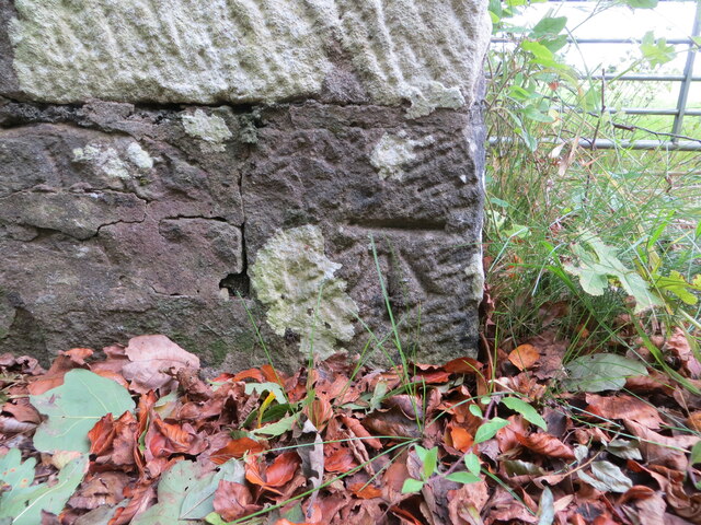
The woodland is also home to a number of historical features, including the ruins of an old estate house and a small stone bridge, which add an intriguing element to the landscape. Additionally, the plantation has a rich cultural heritage, with evidence of human activity dating back centuries.

Angle Plantation is a popular destination for both locals and tourists seeking a peaceful retreat in nature. Its diverse flora and fauna, coupled with its historical significance, make it a must-visit location for anyone interested in the natural and cultural heritage of Stirlingshire.

If you have any feedback on the listing, please let us know in the comments section below.

Angle Plantation Images

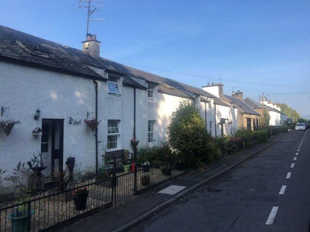
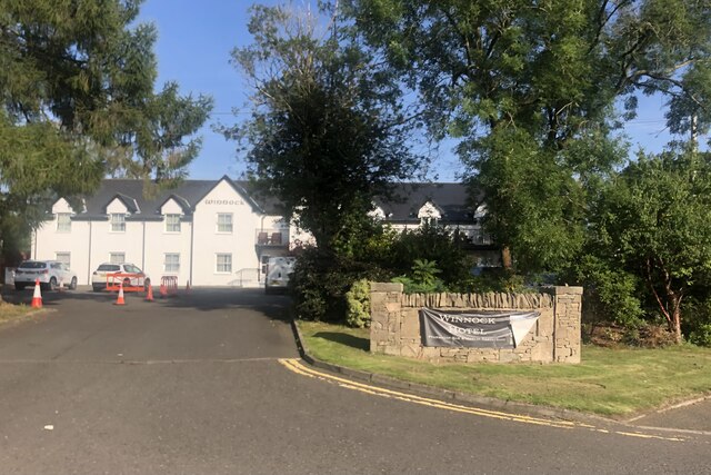
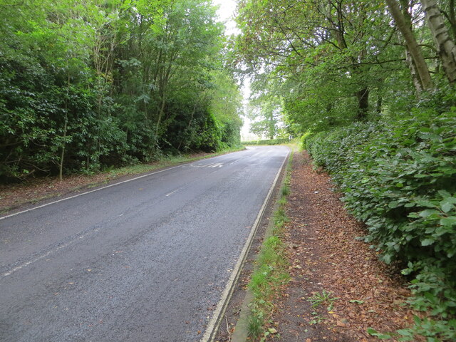
Images are sourced within 2km of 56.082329/-4.4636838 or Grid Reference NS4690. Thanks to Geograph Open Source API. All images are credited.

Track through Garadhban Forest Looking north-westward, This section of track is used by the West Highland Way Path.
Track through Garadhban Forest
Looking north-westward, This section of track is used by the West Highland Way Path.
Forest track through High Wood Looking south-eastward. This section of track is used by the West Highland Way Path.
Forest track through High Wood
Looking south-eastward. This section of track is used by the West Highland Way Path.
Creityhall Road leaving Milton of Buchanan Looking north-eastward. This section of road is used by the West Highland Way Path.
Creityhall Road leaving Milton of Buchanan
Looking north-eastward. This section of road is used by the West Highland Way Path.
Creityhall Road (track) approaching Creityhall Looking north-eastward. This section of track is used by the West Highland Way Path.
Creityhall Road (track) approaching Creityhall
Looking north-eastward. This section of track is used by the West Highland Way Path.
Minor road near Drymen
Cafe, Drymen Once a bike shop.
Cafe, Drymen
Once a bike shop.
Birchwood, Doghouse Glen
A row of terraced cottages Between Drymen and Milton of Buchanan
A row of terraced cottages
Between Drymen and Milton of Buchanan
The Winnock Hotel, Drymen
Track giving access to Coldrach Looking north-westward.
Track giving access to Coldrach
Looking north-westward.
Road (B837) approaching Buchanan Smithy Looking south-eastward.
Road (B837) approaching Buchanan Smithy
Looking south-eastward.
Road (B837) enclosed by woodland near to Whinnydram Looking north-westward.
Road (B837) enclosed by woodland near to Whinnydram
Looking north-westward.
Ordnance Survey Cut Mark This mark can be found on the parapet wall of the bridge that allows the B837 to cross Doghouse Burn.
The recorded details give a height of 56.8513 metres above sea level.
For more detail see : <span class="nowrap"><a title="https://www.bench-marks.org.uk/bm179909" rel="nofollow ugc noopener" href="https://www.bench-marks.org.uk/bm179909">Link</a><img style="margin-left:2px;" alt="External link" title="External link - shift click to open in new window" src="https://s1.geograph.org.uk/img/external.png" width="10" height="10"/></span>
Ordnance Survey Cut Mark
This mark can be found on the parapet wall of the bridge that allows the B837 to cross Doghouse Burn. The recorded details give a height of 56.8513 metres above sea level. For more detail see : LinkExternal link
Bus stop, Drymen
Bus stop, Drymen
Garadbhan Forestry Commission Access point into Queen Elizabeth Forest Park above Drymen
Garadbhan Forestry Commission
Access point into Queen Elizabeth Forest Park above Drymen
Edge of the Forest South west tip of Garadh Ban Forest
Edge of the Forest
South west tip of Garadh Ban Forest
Warning. Maximum load 8 tonnes That's what the sign says. There's a small bridge across a burn here.
Warning. Maximum load 8 tonnes
That's what the sign says. There's a small bridge across a burn here.
West Highland Way in Garadhban Forest
Show me another place!

Angle Plantation is located at Grid Ref: NS4690 (Lat: 56.082329, Lng: -4.4636838)

Unitary Authority: Stirling

Police Authority: Forth Valley

What 3 Words

///prettiest.cleans.bend. Near Killearn, Stirling

Related Wikis

Buchanan Smithy

Buchanan Smithy is a hamlet in Buchanan in the far west of Stirling, Scotland. The current settlement was mostly purpose-built in the 18th century for...

Buchanan Castle

Buchanan Castle is a ruined castle in Stirlingshire, Scotland, located 1 mile (1.6 km) west of the village of Drymen. The house was commissioned by The...

Buchanan Auld House

Buchanan Auld House (or Buchanan Old House) is a ruined house in Stirlingshire, Scotland, located 1.5 miles (2.4 km) west of the village of Drymen. Historic...

Drymen

Drymen (; from Scottish Gaelic: Druiminn [ˈt̪ɾɯmɪɲ]) is a village in the Stirling district of central Scotland. Once a popular stopping place for cattle...

Nearby Amenities

Located within 500m of 56.082329,-4.4636838
Backcountry: yes
Camp Site: basic
Capacity Tents: 2
Informal: yes
Tents: only
Tourism: camp_site
Lat/Long: 56.0856215/-4.4643957
Leisure: firepit
Lat/Long: 56.0856047/-4.4644086
The data included in this document is from www.openstreetmap.org. The data is made available under ODbL.

Have you been to Angle Plantation?

Leave your review of Angle Plantation below (or comments, questions and feedback).