Blairs Wood

Wood, Forest in Kirkcudbrightshire

Scotland

Blairs Wood

Pumpkins for sale at Strathmaddie Strathmaddie has pumpkins for sale 'for Halloween carving'. The minor road passing by must see little traffic whether motorised or pedestrian, so sales cannot be high.
Pumpkins for sale at Strathmaddie Credit: Trevor Littlewood

Blairs Wood is a picturesque forest located in the historic county of Kirkcudbrightshire, in Dumfries and Galloway, Scotland. Covering an area of approximately 500 hectares, this woodland is a remarkable natural treasure.

The wood is situated on the eastern bank of the River Dee, near the charming village of Kirkcudbright. It is easily accessible via a well-maintained footpath network that meanders through the forest, offering visitors the chance to explore its beauty.

Blairs Wood is primarily composed of mixed deciduous trees, including oak, birch, and beech, which create a diverse and vibrant ecosystem. The trees' foliage provides a spectacular display of colors during the autumn months, attracting photographers and nature enthusiasts alike.

Wildlife flourishes within the wood, with an abundance of different species calling it home. Red squirrels, roe deer, and a variety of bird species, including woodpeckers and owls, can often be spotted among the trees. The wood also hosts a rich diversity of plant life, with native flowers, ferns, and mosses thriving in the damp and shaded areas.

The wood offers a tranquil and peaceful environment, making it a popular destination for walkers and hikers seeking solace in nature. The footpaths wind through the forest, leading visitors past babbling streams and hidden glens, providing a sense of serenity and escape from the hustle and bustle of daily life.

Blairs Wood is not only a natural gem but also a place of historical significance. The remains of an ancient hill fort can be found within its boundaries, serving as a reminder of the area's rich past.

Overall, Blairs Wood is a captivating woodland that offers a haven of natural beauty, wildlife, and historical intrigue. It is a must-visit destination for those seeking a truly immersive experience in the Scottish countryside.

If you have any feedback on the listing, please let us know in the comments section below.
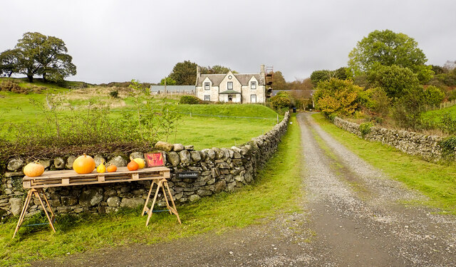
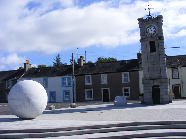
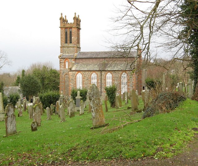
Blairs Wood Images

Images are sourced within 2km of 54.930029/-4.3957261 or Grid Reference NX4662. Thanks to Geograph Open Source API. All images are credited.

Pumpkins for sale at Strathmaddie Strathmaddie has pumpkins for sale 'for Halloween carving'. The minor road passing by must see little traffic whether motorised or pedestrian, so sales cannot be high.
Pumpkins for sale at Strathmaddie
Strathmaddie has pumpkins for sale 'for Halloween carving'. The minor road passing by must see little traffic whether motorised or pedestrian, so sales cannot be high.
Road heading south on the Cairnsmore estate The estate road heading towards Crow Wood.
Road heading south on the Cairnsmore estate
The estate road heading towards Crow Wood.
Minor road close to Palnure Burn The road is heading south towards Graddoch Bridge. The burn is out of view to the right, meandering through fields.
Minor road close to Palnure Burn
The road is heading south towards Graddoch Bridge. The burn is out of view to the right, meandering through fields.
Spittal Wood the hard way Brutal haul up to the railway trackbed from the old A75. Signposted 30% and feels like it.
Spittal Wood the hard way
Brutal haul up to the railway trackbed from the old A75. Signposted 30% and feels like it.
River Cree Upstream from Creetown
River Cree
Upstream from Creetown
Cycle path, Spittal An all too short section on the Port Road.
Cycle path, Spittal
An all too short section on the Port Road.
Silage bales, Cuil
Silage bales, Cuil
Cycle path Steep climb over, soon onto the railway trackbed.
Cycle path
Steep climb over, soon onto the railway trackbed.
A75, Muirfad
A75, Muirfad
Between road and river, Muirfad
Cree Trig Point Flush Bracket S8191
Old milestone On this visit we passed this milestone near the Palnure Burn twice before finally spotting it hidden in long, dry grass and brambles which were cleared away.  It used to stand upright but as the years go by it is leaning more and more.   Although several of this style are still by the roadside, this is one of the few complete with its 3 metal plates made at the Affleck foundry.   It is 36 miles from Port Patrick and another 378 to London!
Old milestone
On this visit we passed this milestone near the Palnure Burn twice before finally spotting it hidden in long, dry grass and brambles which were cleared away. It used to stand upright but as the years go by it is leaning more and more. Although several of this style are still by the roadside, this is one of the few complete with its 3 metal plates made at the Affleck foundry. It is 36 miles from Port Patrick and another 378 to London!
Viaduct - remains of the "Port Line" Not much left of the viaduct near Muirfad, which once carried trains on the Dumfries - Stranraer line
Viaduct - remains of the "Port Line"
Not much left of the viaduct near Muirfad, which once carried trains on the Dumfries - Stranraer line
Remains of Viaduct Near Muirfad Arches are now boxed in.
Remains of Viaduct Near Muirfad
Arches are now boxed in.
Cycleway Through Cuil Wood The cycle way uses a disused railway line.
Cycleway Through Cuil Wood
The cycle way uses a disused railway line.
Field Near Muirfad
Field Near Muirfad
Milepost on National Cycle Route 7
National Cycle Route 7 Near Blairs
Show me another place!

Blairs Wood is located at Grid Ref: NX4662 (Lat: 54.930029, Lng: -4.3957261)

Unitary Authority: Dumfries and Galloway

Police Authority: Dumfries and Galloway

What 3 Words

///ventures.cornering.unfocused. Near Newton Stewart, Dumfries & Galloway

Nearby Locations

Blairs Wood Cuil Wood

Related Wikis

Palnure

Palnure (Scottish Gaelic: Poll an Iùbhair) is a small village in the historical county of Kirkcudbrightshire in Dumfries and Galloway, Scotland, on the...

Palnure railway station

Palnure railway station (NX450634) was a railway station on the Portpatrick and Wigtownshire Joint Railway close to Newton Stewart and the junction for...

Creetown railway station

Creetown railway station served the town of Creetown, Dumfries and Galloway, Scotland from 1861 to 1965 on the Portpatrick and Wigtownshire Joint Railway...

Kirroughtree

Kirroughtree Forest is located near Newton Stewart in Dumfries and Galloway, southwest Scotland and overlooks the Irish Sea. It is managed by Forestry...

Creetown

Creetown (/ˈkri:tən/, sometimes /'kri:taʊn/) is a small seaside town in the Stewartry of Kirkcudbright, in Galloway in the Dumfries and Galloway council...

Kirkmabreck

Kirkmabreck is a civil parish in the historic county of Kirkcudbrightshire in the Dumfries and Galloway council area, Scotland. Situated in the historic...

Creetown F.C.

Creetown Football Club are a football club based in Creetown in the Dumfries and Galloway area of Scotland. Formed in 1905 as Creetown Rifle Volunteers...

Causeway End railway station

Causeway End (NX 42047 59602) or Causwayend was a railway station on the Wigtownshire Railway branch line, from Newton Stewart to Whithorn, of the Portpatrick...

Nearby Amenities

Located within 500m of 54.930029,-4.3957261
Power: pole
Lat/Long: 54.9335929/-4.3976168
Power: pole
Lat/Long: 54.932238/-4.3974779
Power: pole
Lat/Long: 54.9293781/-4.3973985
Power: pole
Lat/Long: 54.9265069/-4.3973342
Power: pole
Lat/Long: 54.9261786/-4.3966931
Power: pole
Lat/Long: 54.9280371/-4.3902809
Power: pole
Lat/Long: 54.9282786/-4.3913799
Power: pole
Lat/Long: 54.9284969/-4.3923731
Power: pole
Lat/Long: 54.9286863/-4.3932351
Power: pole
Lat/Long: 54.9289187/-4.3942931
Power: pole
Lat/Long: 54.9295276/-4.3941928
Power: pole
Lat/Long: 54.9301454/-4.394091
Power: pole
Lat/Long: 54.9307928/-4.3939844
Power: pole
Lat/Long: 54.9315486/-4.3938598
Power: pole
Lat/Long: 54.9320028/-4.393785
Power: pole
Lat/Long: 54.9325578/-4.394628
Power: pole
Lat/Long: 54.9331888/-4.3955863
Power: pole
Lat/Long: 54.933801/-4.3965161
Power: pole
Lat/Long: 54.9256947/-4.3958073
Power: pole
Lat/Long: 54.9286637/-4.3973825
Power: pole
Lat/Long: 54.9279223/-4.3973659
Power: pole
Lat/Long: 54.9272031/-4.3973498
Power: pole
Lat/Long: 54.9300943/-4.3974159
Power: pole
Lat/Long: 54.9308128/-4.3974334
Power: pole
Lat/Long: 54.9315427/-4.3974512
Power: pole
Lat/Long: 54.9342906/-4.3978151
Power: pole
Lat/Long: 54.9329328/-4.3974436
The data included in this document is from www.openstreetmap.org. The data is made available under ODbL.

Have you been to Blairs Wood?

Leave your review of Blairs Wood below (or comments, questions and feedback).