Black Wood
Wood, Forest in Ayrshire
Scotland
Black Wood

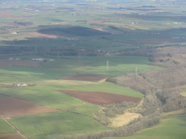
Black Wood is a picturesque forest located in Ayrshire, Scotland. Covering an area of approximately 200 acres, it is a significant natural landmark in the region. The wood is predominantly composed of native Scots pine trees, with a few birch and oak trees interspersed throughout.
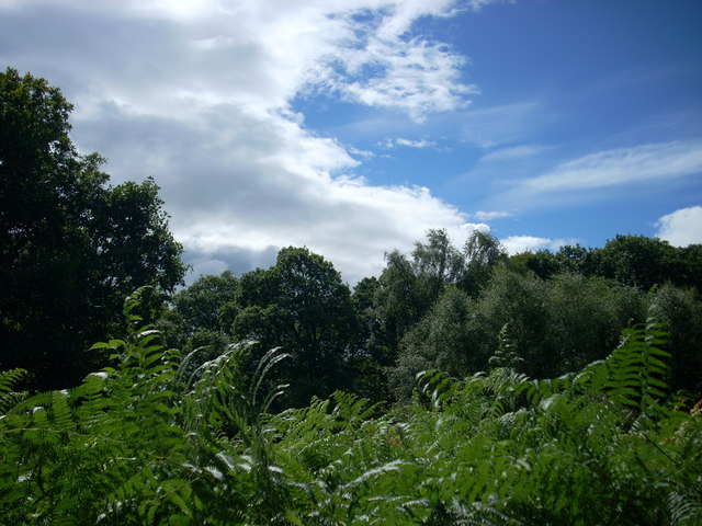
The forest offers a diverse range of habitats, providing a haven for a wide variety of flora and fauna. It is home to a diverse range of animal species, including red squirrels, roe deer, and a plethora of bird species such as woodpeckers, owls, and finches. The woodland floor displays an array of wildflowers, ferns, and mosses, adding to the enchanting atmosphere.
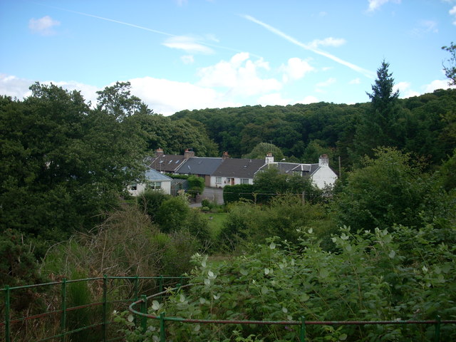
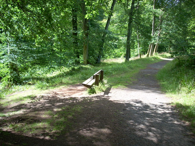
The forest has several well-maintained walking trails that allow visitors to explore its natural beauty at their own pace. Along these trails, one can find informative signposts detailing the various species of trees and wildlife that inhabit the area. The paths wind through the ancient woodland, offering stunning views of the surrounding landscape.
Black Wood also holds historical significance, as it was once part of the Royal Forest of Ayr. It has been well-preserved over the years, thanks to the efforts of local conservation groups and is now designated as a Site of Special Scientific Interest (SSSI).
Visitors to Black Wood can enjoy a peaceful retreat in nature, immersing themselves in its tranquil atmosphere. Whether it be a leisurely stroll, birdwatching, or simply appreciating the beauty of the woodland, this forest provides a captivating experience for nature lovers and outdoor enthusiasts alike.
If you have any feedback on the listing, please let us know in the comments section below.
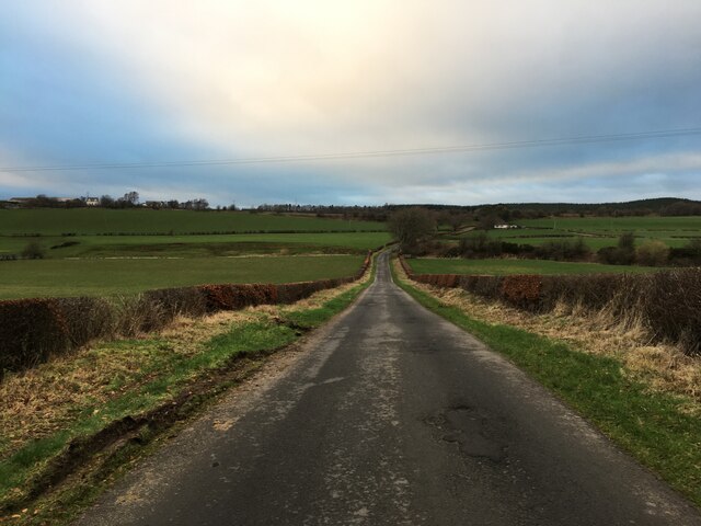
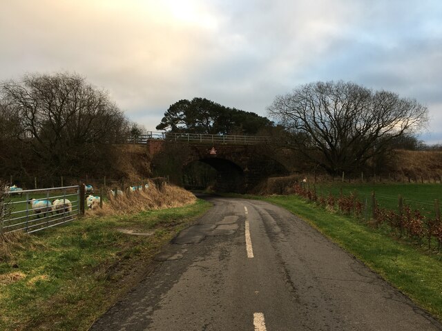
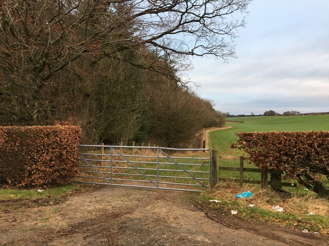
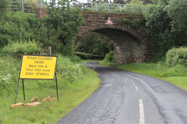
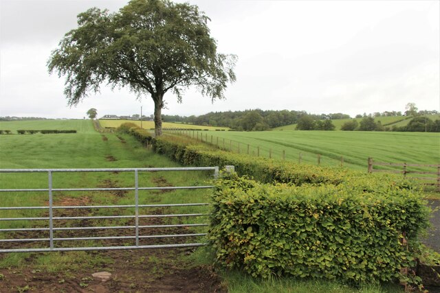
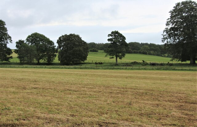
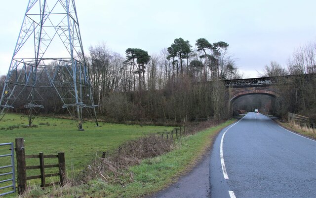
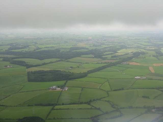
Black Wood Images
Images are sourced within 2km of 55.499127/-4.4311118 or Grid Reference NS4625. Thanks to Geograph Open Source API. All images are credited.


Black Wood is located at Grid Ref: NS4625 (Lat: 55.499127, Lng: -4.4311118)
Unitary Authority: East Ayrshire
Police Authority: Ayrshire
What 3 Words
///famed.dose.skimmers. Near Mauchline, East Ayrshire
Nearby Locations
Related Wikis

Water of Fail
The Water of Fail, or River Fail, is a fast-flowing river in South Ayrshire, Scotland. It rises in the hills north of Tarbolton, flowing generally south...

Failford
Failford (Scots: Failfuird) is a hamlet in South Ayrshire, Scotland. It is 4 kilometres (2.5 mi) west of Mauchline, where the Water of Fail flows into...

Loch of Stair
The Loch of Stair was a typical Ayrshire post-glacial 'Kettle Hole', situated in a low-lying area below the farm of Loch Hill, in the Parish of Stair,...
Tarbolton railway station
Tarbolton railway station (NGR NS440250) was a railway station about a mile and a quarter from the village of Tarbolton that it served, in South Ayrshire...
Nearby Amenities
Located within 500m of 55.499127,-4.4311118Have you been to Black Wood?
Leave your review of Black Wood below (or comments, questions and feedback).