Balsmith Plantation
Wood, Forest in Wigtownshire
Scotland
Balsmith Plantation
Balsmith Plantation is a picturesque woodland located in Wigtownshire, Scotland. Covering an area of approximately 100 hectares, this forested area is renowned for its natural beauty and rich biodiversity. The plantation is situated near the village of Balsmith, providing easy access for visitors and nature enthusiasts.
The woodland is dominated by a diverse range of tree species, including oak, beech, and birch. These tall and majestic trees create a dense canopy, providing shade and shelter for a variety of flora and fauna. The forest floor is adorned with a colorful carpet of wildflowers, such as bluebells and primroses, which thrive in the damp and fertile soil.
Balsmith Plantation is home to a wide range of wildlife, making it a perfect spot for nature lovers. Visitors may have the opportunity to spot red squirrels, roe deer, and a variety of bird species, including woodpeckers and owls. The tranquil atmosphere of the woodland is enhanced by the melodic songs of birds and the occasional rustling of leaves as a squirrel scurries by.
The plantation also offers several well-maintained walking trails, allowing visitors to immerse themselves in the natural splendor of the forest. These trails wind through the woodland, offering breathtaking views of the surrounding landscape and providing a peaceful escape from the hustle and bustle of daily life.
Overall, Balsmith Plantation is a haven for those seeking solace in nature. Its idyllic setting, diverse flora and fauna, and well-maintained trails make it a must-visit destination for anyone looking to reconnect with the natural world.
If you have any feedback on the listing, please let us know in the comments section below.
Balsmith Plantation Images
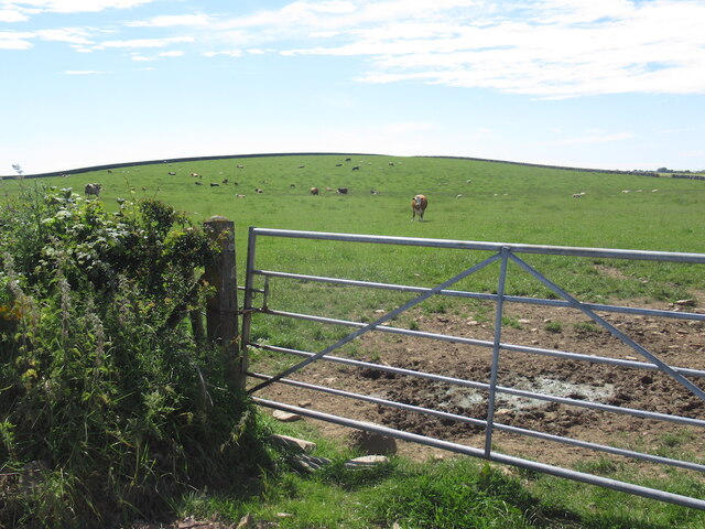
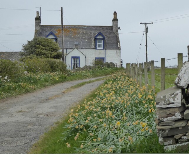
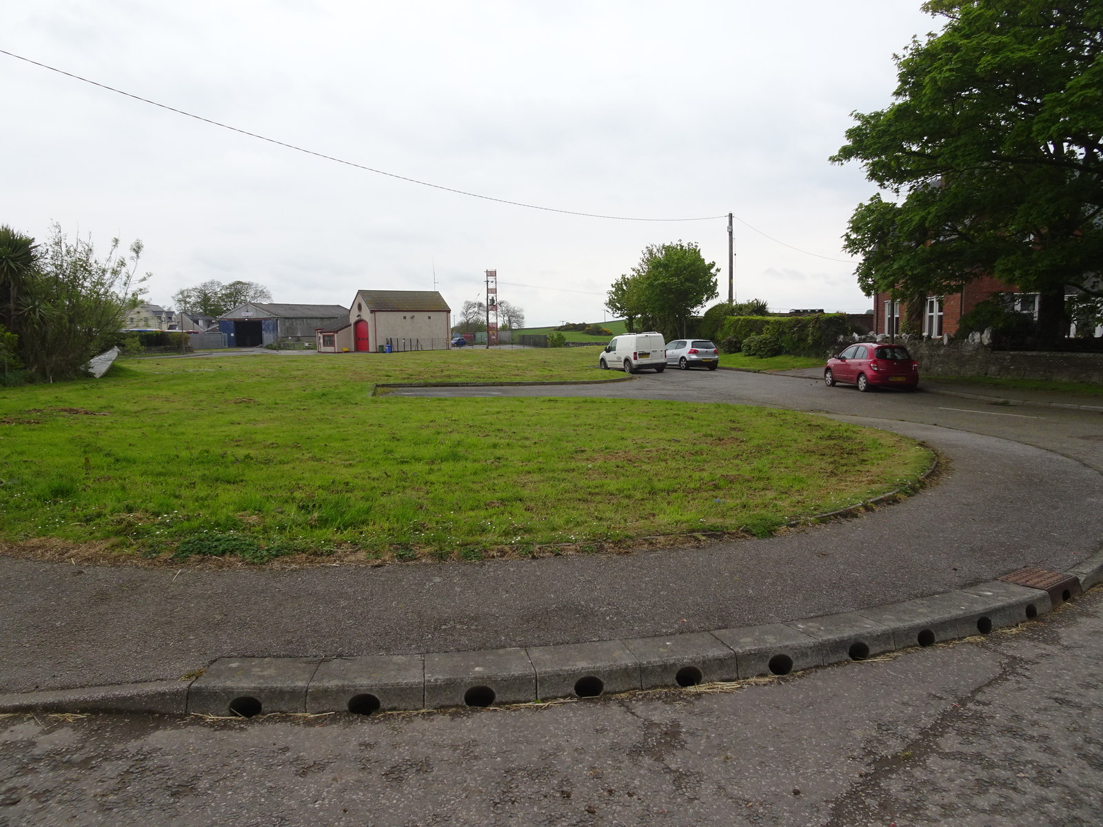
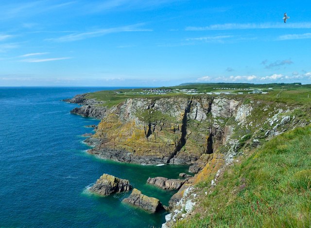
Images are sourced within 2km of 54.722541/-4.3867736 or Grid Reference NX4639. Thanks to Geograph Open Source API. All images are credited.


Balsmith Plantation is located at Grid Ref: NX4639 (Lat: 54.722541, Lng: -4.3867736)
Unitary Authority: Dumfries and Galloway
Police Authority: Dumfries and Galloway
What 3 Words
///surcharge.smirks.dictation. Near Whithorn, Dumfries & Galloway
Nearby Locations
Related Wikis

Candida Casa
Candida Casa was the name given to the church established by St Ninian in Whithorn, Galloway, southern Scotland, in the mid fifth century AD. The name...
Whithorn
Whithorn (Scots pronunciation: [ˈʍɪthorn], Taigh Mhàrtainn in modern Gaelic), is a royal burgh in the historic county of Wigtownshire in Dumfries and Galloway...

Whithorn Priory
Whithorn Priory was a medieval Scottish monastery that also served as a cathedral, located at 6 Bruce Street in Whithorn, Wigtownshire, Dumfries and Galloway...
Whithorn railway station
Whithorn is the closed terminus of the Wigtownshire Railway branch, from Newton Stewart, of the Portpatrick and Wigtownshire Joint Railway. It served...

Isle of Whithorn
Isle of Whithorn (Port Rosnait in Gaelic) is one of the most southerly villages and seaports in Scotland, lying on the coast north east of Burrow Head...
Rispain Camp
Rispain Camp is the remains of a fortified farmstead 1 mile west of Whithorn, Dumfries and Galloway, Scotland. It is one of the major Iron Age archaeological...
Glasserton
Glasserton is a civil parish in Dumfries and Galloway, south-west Scotland. It is on the Machars peninsula, in the traditional county of Wigtownshire....
Burrow Head
Burrow Head is a headland located approximately two miles south-west of Isle of Whithorn, Wigtownshire, Scotland, and is the second southernmost point...
Nearby Amenities
Located within 500m of 54.722541,-4.3867736Have you been to Balsmith Plantation?
Leave your review of Balsmith Plantation below (or comments, questions and feedback).