Bad Sgàileach
Wood, Forest in Ross-shire
Scotland
Bad Sgàileach
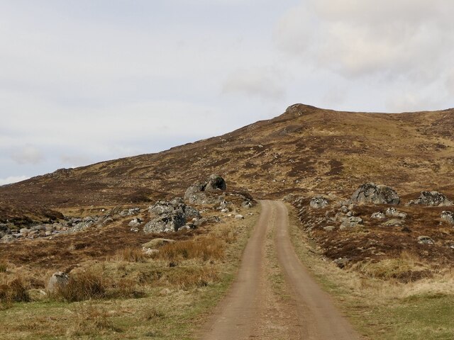
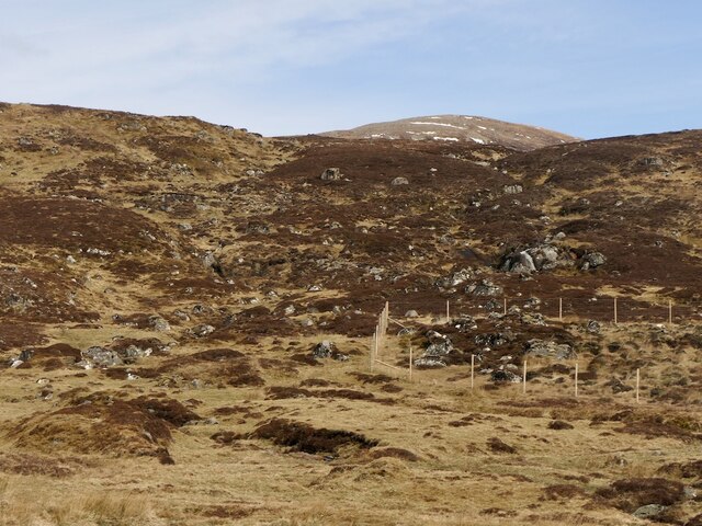
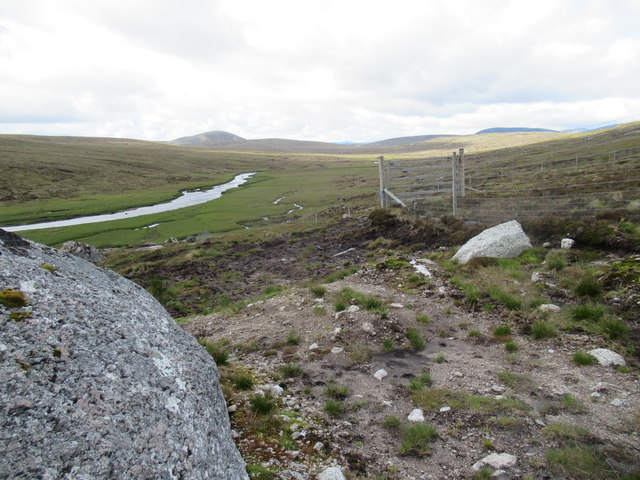
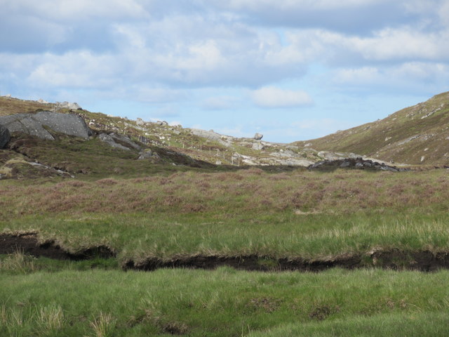
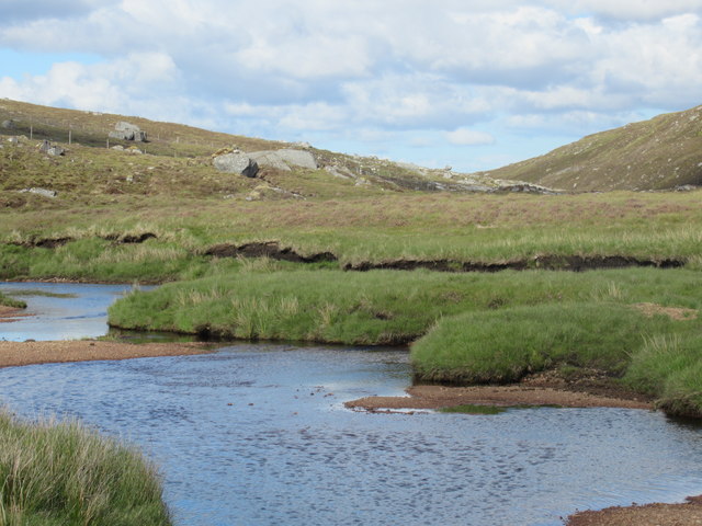
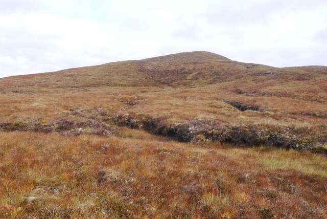
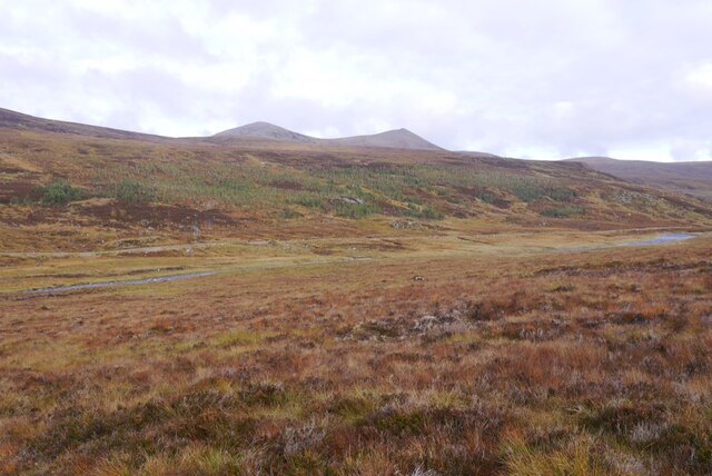
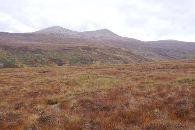
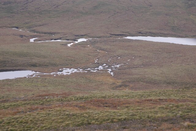
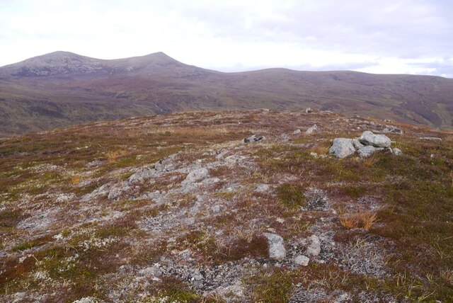
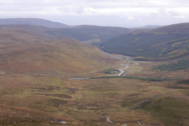
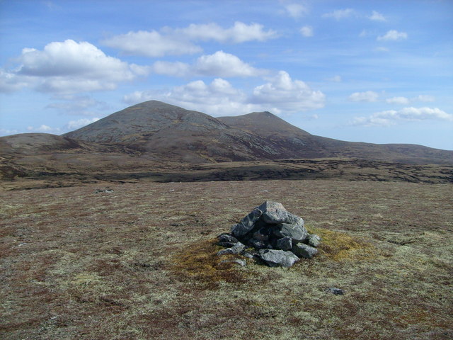
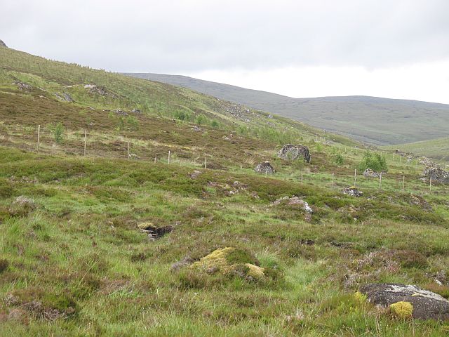
Bad Sgàileach, located in Ross-shire, Scotland, is a picturesque wood or forest area, brimming with natural beauty and lush greenery. Spanning over a considerable expanse, it offers a serene and enchanting environment for nature enthusiasts and those seeking a peaceful retreat.
The woodland is characterized by its diverse range of tree species, including native Scottish pines, birches, and oaks. The dense canopy provides a sheltered habitat for various wildlife species, such as red squirrels, foxes, and a wide array of birdlife, making it an ideal spot for wildlife observation and photography.
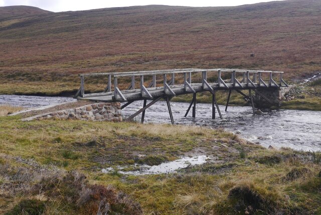
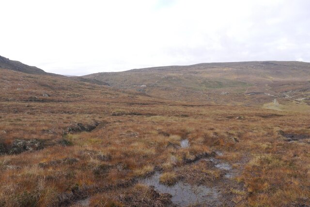
Traversing through Bad Sgàileach, visitors can explore a network of well-maintained trails, allowing them to immerse themselves in the tranquility of the surroundings. These paths cater to individuals of all fitness levels, providing options for leisurely strolls or more rigorous hikes. Along the way, wooden benches and picnic areas are strategically placed, offering opportunities to rest and appreciate the breathtaking scenery.
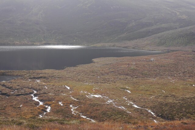
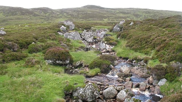
The forest also boasts a small stream, meandering through its heart, adding to the charm and providing a soothing soundtrack to the experience. The crystal-clear water creates a habitat for various aquatic species and adds to the overall biodiversity of the area.
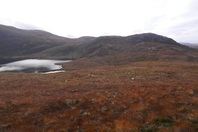
Bad Sgàileach is a haven for nature lovers, where they can revel in the beauty of untouched wilderness, breathe the fresh air, and reconnect with the natural world. It serves as a testament to Scotland's rich natural heritage and the importance of preserving these sanctuaries for future generations to cherish and enjoy.
If you have any feedback on the listing, please let us know in the comments section below.
Bad Sgàileach Images
Images are sourced within 2km of 57.786312/-4.5871988 or Grid Reference NH4680. Thanks to Geograph Open Source API. All images are credited.
Bad Sgàileach is located at Grid Ref: NH4680 (Lat: 57.786312, Lng: -4.5871988)
Unitary Authority: Highland
Police Authority: Highlands and Islands
What 3 Words
///clouding.blasted.policy. Near Evanton, Highland
Nearby Locations
Related Wikis

Càrn Chuinneag
Carn Chuinneag (839 m) is a mountain in the Northwest Highlands of Scotland, south of Strathcarron in Sutherland. A distinct twin-summited peak, it lies...

Beinn nan Eun
Beinn nan Eun (743 m) is a mountain in the Northwest Highlands of Scotland. It is located in Easter Ross, several miles northwest of Dingwall. A very remote...

Amatnatua
Amatnatua (Scottish Gaelic: Àmait na Tuath) is a hamlet in Highland, Scotland.

Alladale Wilderness Reserve
Alladale Wilderness Reserve is a 23,000-acre (93 km2) highland estate in the Caledonian Forest in Sutherland, in the Scottish Highlands. The estate was...
Have you been to Bad Sgàileach?
Leave your review of Bad Sgàileach below (or comments, questions and feedback).