Capel Llaniltern
Settlement in Glamorgan
Wales
Capel Llaniltern

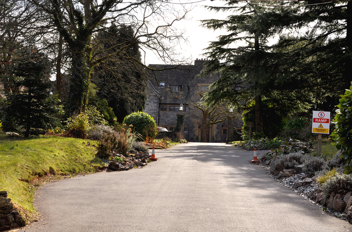
Capel Llaniltern is a small village located in the county of Glamorgan, Wales. Situated in the Vale of Glamorgan, it is nestled amidst picturesque countryside and enjoys a tranquil atmosphere. The village is surrounded by rolling hills, lush green fields, and meandering streams, making it an ideal location for those seeking a peaceful and scenic environment.
Historically, Capel Llaniltern was known for its agricultural roots, with farming being the main occupation of its residents. However, in recent years, the village has experienced some development and growth, attracting a small population of residents who appreciate its rural charm and proximity to nature.
The heart of the village is dominated by the Capel Llaniltern Chapel, a prominent landmark that serves as a gathering place for the community. The chapel has a rich history and continues to hold regular religious services and community events.
Despite its small size and relatively remote location, Capel Llaniltern benefits from its proximity to larger towns and cities. The village is conveniently located within a short driving distance from the bustling town of Cowbridge, which offers a variety of amenities such as shops, restaurants, and schools. Additionally, the capital city of Cardiff is easily accessible, providing residents with access to further amenities, entertainment, and employment opportunities.
Overall, Capel Llaniltern is a charming village that offers a peaceful and idyllic lifestyle. Its beautiful surroundings, close-knit community, and convenient location make it an attractive place to call home for those seeking a slower pace of life in the stunning Welsh countryside.
If you have any feedback on the listing, please let us know in the comments section below.
Capel Llaniltern Images
Images are sourced within 2km of 51.510523/-3.303473 or Grid Reference ST0979. Thanks to Geograph Open Source API. All images are credited.


Capel Llaniltern is located at Grid Ref: ST0979 (Lat: 51.510523, Lng: -3.303473)
Unitary Authority: Cardiff
Police Authority: South Wales
Also known as: Capel Llanilltern
What 3 Words
///found.twig.trio. Near Pentyrch, Cardiff
Nearby Locations
Related Wikis
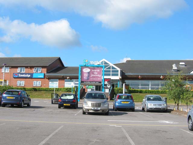
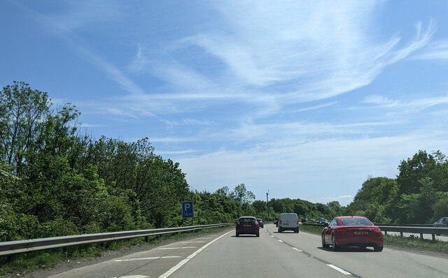
Cardiff West services
Cardiff West services (Welsh: Gwasanaethau Gorllewin Caerdydd) is a motorway service station on junction 33 of the M4 motorway and the Capel Llanilltern...
Craig-y-parc House
Craig-y-parc House is a country house in Pentyrch, Cardiff, Wales. Dating from 1914 to 1918, it was built for Thomas Evans, a colliery owner, by Charles...

Ty Du Moor
Ty Du Moor is a Site of Special Scientific Interest in Glamorgan, south Wales. == See also == List of Sites of Special Scientific Interest in Mid & South...

Rhydlafar
Rhydlafar is a small settlement in Wales located on the outskirts of Cardiff being around 5 miles west of the city centre and 5 miles south-east of Llantrisant...
Nearby Amenities
Located within 500m of 51.510523,-3.303473Have you been to Capel Llaniltern?
Leave your review of Capel Llaniltern below (or comments, questions and feedback).