Garadh Ban Wood
Wood, Forest in Stirlingshire
Scotland
Garadh Ban Wood
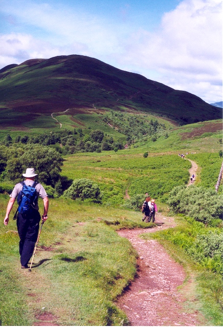
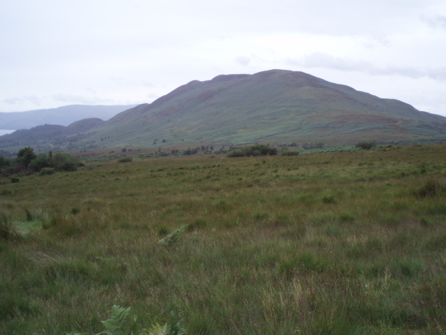
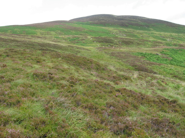
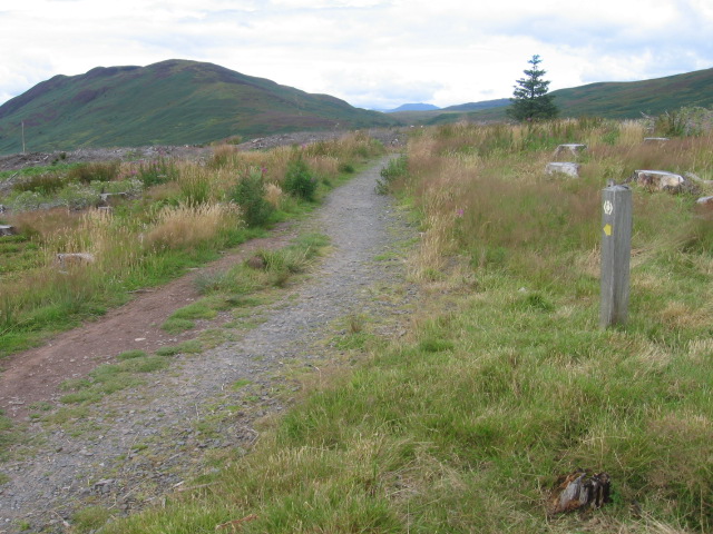
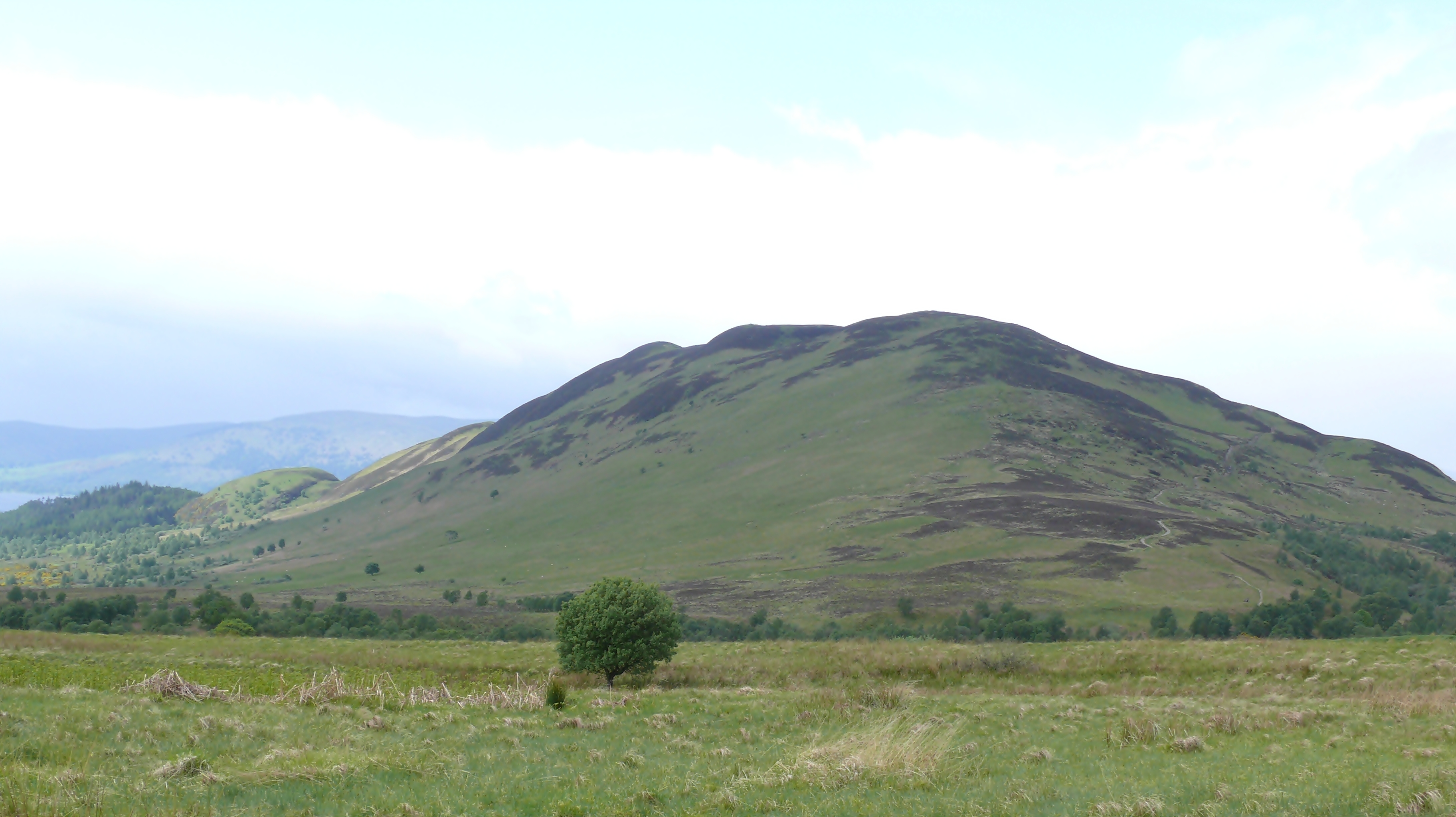
Garadh Ban Wood is a picturesque forest located in Stirlingshire, Scotland. Spread across an area of approximately 100 hectares, it is known for its natural beauty and diverse ecosystem. The woodland is situated on the eastern slopes of the Campsie Fells, providing visitors with stunning views of the surrounding countryside.
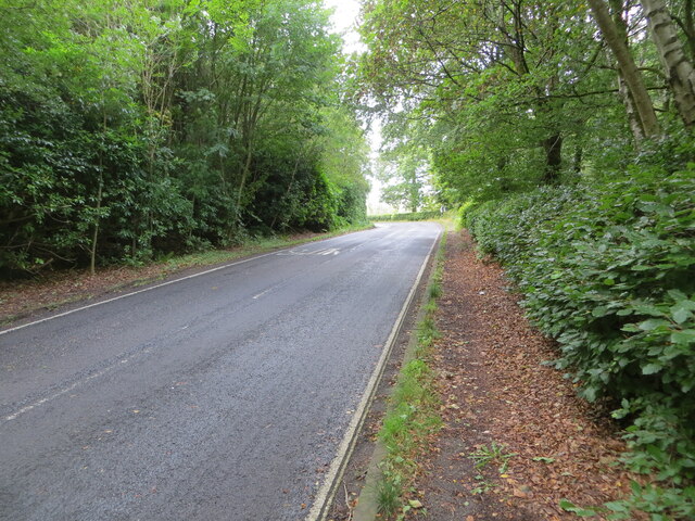
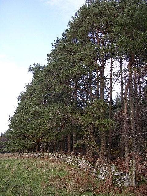
The forest is predominantly made up of broadleaved trees, including oak, birch, and beech, creating a rich and varied habitat for numerous plant and animal species. The forest floor is covered with a carpet of wildflowers during the spring and summer months, adding vibrant colors to the landscape.
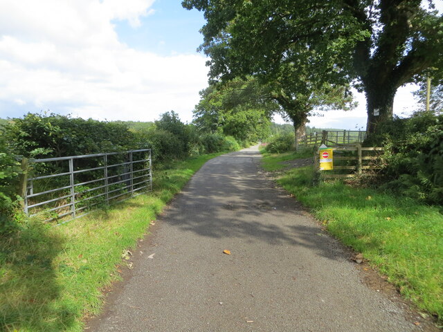
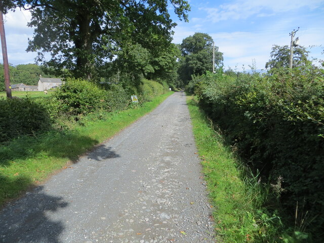
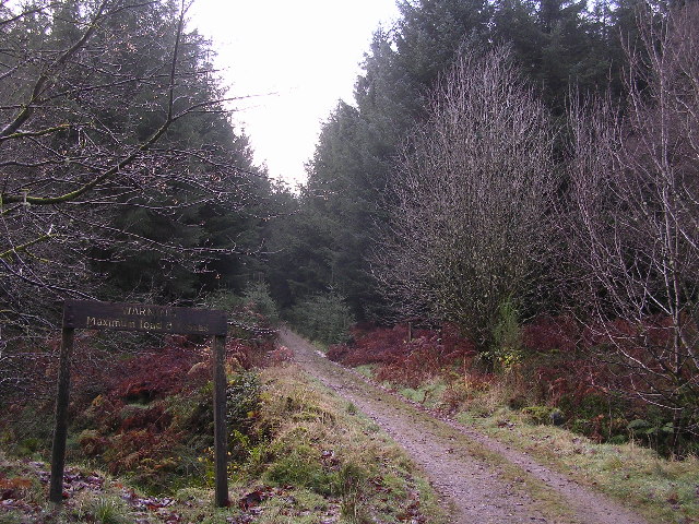
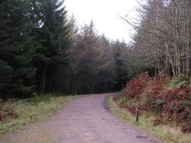
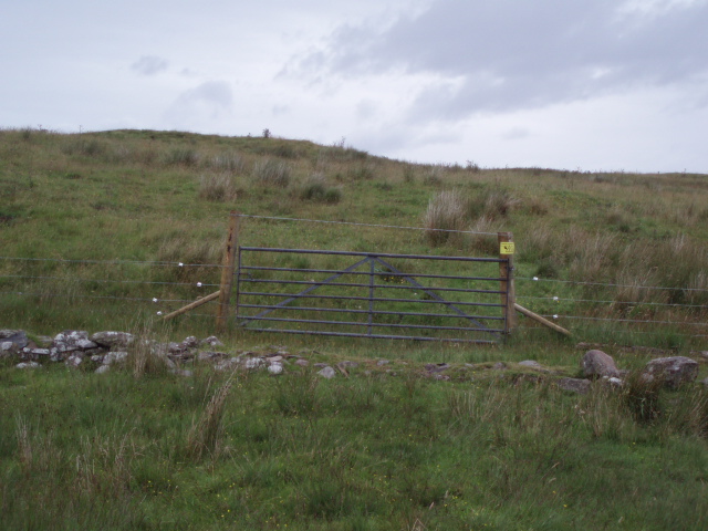
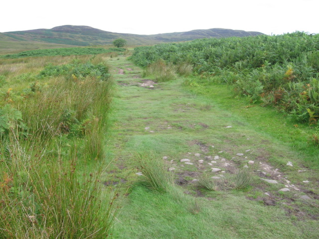
Garadh Ban Wood offers a network of well-maintained paths and trails, making it a popular destination for walkers, hikers, and nature enthusiasts. These paths allow visitors to explore the woodland at their own pace, immersing themselves in the tranquil surroundings. The forest is also home to a variety of wildlife, such as red squirrels, roe deer, and a wide range of bird species, providing ample opportunities for wildlife spotting and birdwatching.
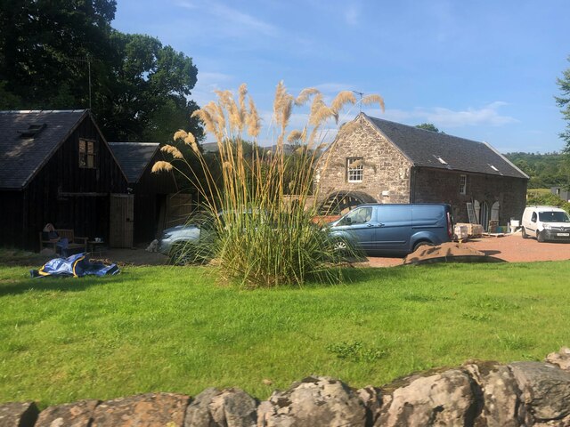
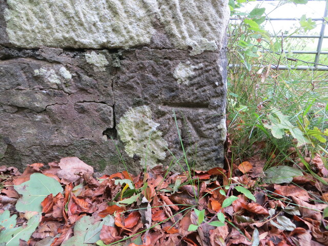
In addition to its natural beauty, Garadh Ban Wood has historical significance. The forest was once part of the Campsie Glen estate, and remnants of the old estate can still be seen within the woodland, including stone walls and ruins.
Overall, Garadh Ban Wood is a captivating woodland that offers visitors a chance to connect with nature, explore its diverse ecosystem, and enjoy the peaceful surroundings.
If you have any feedback on the listing, please let us know in the comments section below.
Garadh Ban Wood Images
Images are sourced within 2km of 56.09216/-4.4848265 or Grid Reference NS4591. Thanks to Geograph Open Source API. All images are credited.

Garadh Ban Wood is located at Grid Ref: NS4591 (Lat: 56.09216, Lng: -4.4848265)
Unitary Authority: Stirling
Police Authority: Forth Valley
What 3 Words
///trousers.towels.sailed. Near Killearn, Stirling
Nearby Locations
Related Wikis

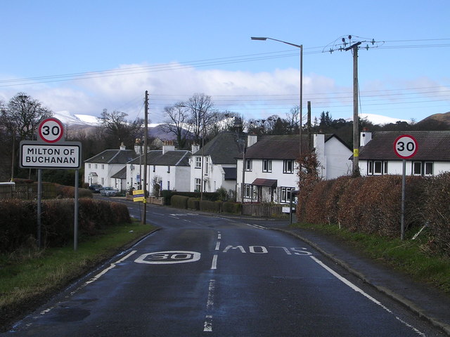
Milton of Buchanan
Milton of Buchanan is a small village in Stirling, Scotland, within the parish of Buchanan. Historically, the village was in the Registration County of...

Buchanan Smithy
Buchanan Smithy is a hamlet in Buchanan in the far west of Stirling, Scotland. The current settlement was mostly purpose-built in the 18th century for...
Conic Hill
Conic Hill (from Gaelic "còinneach" meaning moss) is a prominent hill in Stirling, Scotland. == Location and description == It is on the east bank of Loch...

Buchanan Auld House
Buchanan Auld House (or Buchanan Old House) is a ruined house in Stirlingshire, Scotland, located 1.5 miles (2.4 km) west of the village of Drymen. Historic...

Buchanan Castle
Buchanan Castle is a ruined castle in Stirlingshire, Scotland, located 1 mile (1.6 km) west of the village of Drymen. The house was commissioned by The...

Buchanan, Stirling
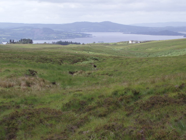
Buchanan is a historic parish in Stirlingshire in Scotland. It includes a large part of the eastern shore of Loch Lomond. The most populated village in...

Endrick Water
The Endrick Water or River Endrick (Scottish Gaelic: Eunarag) is a river which flows into the eastern end of Loch Lomond, Scotland. Its drainage basin...

Balmaha
Balmaha (Gaelic: Baile Mo Thatha) is a village on the eastern shore of Loch Lomond in the council area of Stirling, Scotland. The village is a popular...
Related Videos

HIKING TRAILS IN SCOTLAND | Conic Hill in Winter | Loch Lomand Balmaha | Trossachs National Park WHW
Hello Everyone ❀ I took myself up to Conic Hill in Loch Lomand, Scotland for a Winter walk in the December frost. It was my first ...

Hiking Trip
Glasgow _ Great Scottish Run.

Nearby Amenities
Located within 500m of 56.09216,-4.4848265Have you been to Garadh Ban Wood?
Leave your review of Garadh Ban Wood below (or comments, questions and feedback).