Alsagers Bank
Settlement in Staffordshire Newcastle-under-Lyme
England
Alsagers Bank

Alsagers Bank is a small village located in Staffordshire, England. Situated on the outskirts of Stoke-on-Trent, it is part of the Borough of Newcastle-under-Lyme. The village is nestled within the beautiful countryside, offering residents and visitors a picturesque setting.
Alsagers Bank has a rich history, with its name derived from the Alsager family, who were prominent landowners in the area. The village developed during the 19th century with the opening of the North Staffordshire Railway, which enhanced its connectivity to nearby towns and cities.
The village is known for its close-knit community and peaceful atmosphere. It offers a range of amenities, including a primary school, a village hall, a post office, and a few local shops. Additionally, there are several pubs and restaurants where residents and visitors can enjoy a meal or a drink.
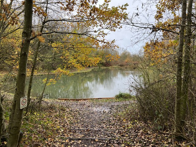
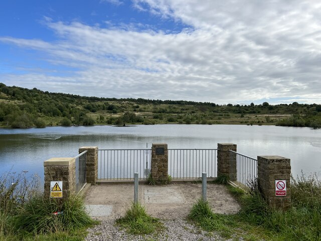
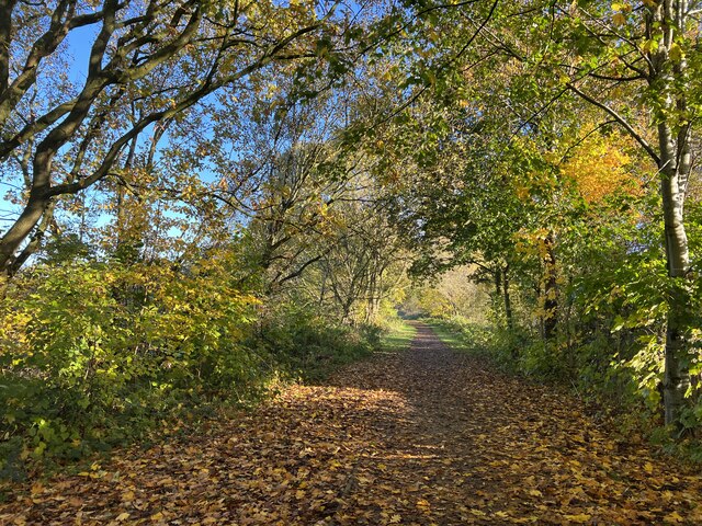
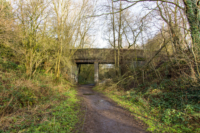
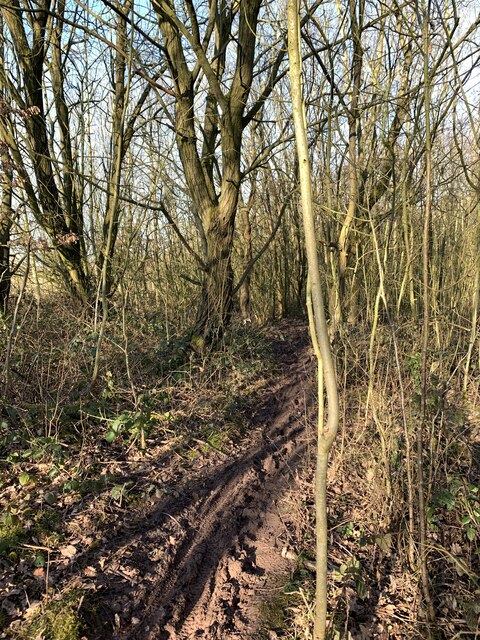
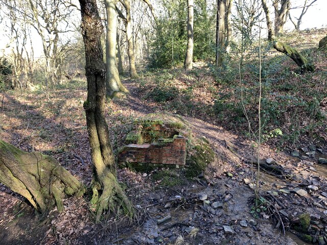
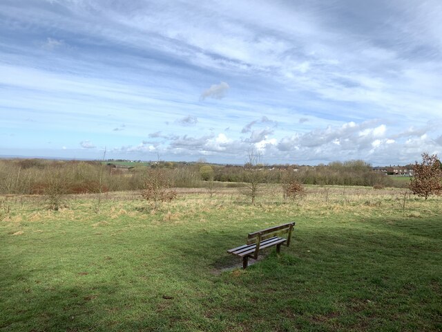
Nature enthusiasts will find plenty to explore in and around Alsagers Bank. The village is surrounded by rolling hills and lush green fields, making it an ideal location for outdoor activities such as hiking and cycling. It is also close to the Mow Cop Castle, a popular landmark that provides stunning views of the Staffordshire countryside.
Transport links in Alsagers Bank are convenient, with regular bus services connecting the village to nearby towns and cities. The village is also within easy reach of the M6 motorway, providing easy access to the wider region.
Overall, Alsagers Bank offers a charming and tranquil place to reside or visit, with its beautiful surroundings and friendly community.
If you have any feedback on the listing, please let us know in the comments section below.
Alsagers Bank Images
Images are sourced within 2km of 53.032962/-2.289261 or Grid Reference SJ8048. Thanks to Geograph Open Source API. All images are credited.


Alsagers Bank is located at Grid Ref: SJ8048 (Lat: 53.032962, Lng: -2.289261)
Administrative County: Staffordshire
District: Newcastle-under-Lyme
Police Authority: Staffordshire
What 3 Words
///judge.hype.hungry. Near Audley, Staffordshire
Nearby Locations
Related Wikis

Alsagers Bank
Alsagers Bank is a village in the Borough of Newcastle-under-Lyme in Staffordshire. Population details at the 2011 census can be found under Audley Rural...

Halmerend (ward)
Halmerend was a ward of the Borough of Newcastle-under-Lyme, in Staffordshire, England. The ward covered the villages of Alsagers Bank, Balterley, Betley...
Apedale
Apedale is a village in Staffordshire, England. The population at the 2011 census can be found under the Holditch (Ward) of Newcastle-under-Lyme. The village...
Halmer End
Halmer End is a small village in the Borough of Newcastle-under-Lyme in Staffordshire, neighbouring the small hamlet of Alsagers Bank and the larger village...
Apedale Hall
Apedale Hall was a manor house near Newcastle-under-Lyme in Staffordshire. The seat of the Heathcote family, it was rebuilt in 1826 in the Elizabethan...

Newcastle-under-Lyme (UK Parliament constituency)
Newcastle-under-Lyme is a constituency in northern Staffordshire created in 1354 and represented in the House of Commons of the UK Parliament since 2019...

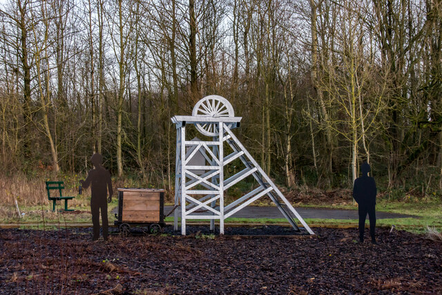
Apedale Community Country Park
Apedale Community Country Park is a 454-acre (184 ha) country park in the borough of Newcastle-under-Lyme, Staffordshire, England. The park is unusual...
Sir Thomas Boughey Academy
Sir Thomas Boughey Academy (formerly Sir Thomas Boughey High School) is a co-educational secondary school located in Halmer End (near Newcastle-under-Lyme...
Nearby Amenities
Located within 500m of 53.032962,-2.289261Have you been to Alsagers Bank?
Leave your review of Alsagers Bank below (or comments, questions and feedback).