Blacksnip Plantation

Wood, Forest in Ayrshire

Scotland

Blacksnip Plantation

Minor Road, between Uplawmoor and Neilston Oak tree and Dareduff Hill.
Minor Road, between Uplawmoor and Neilston Credit: wfmillar

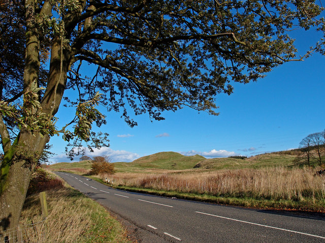
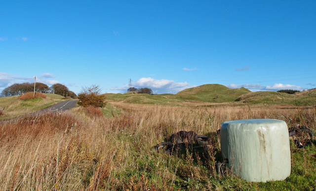
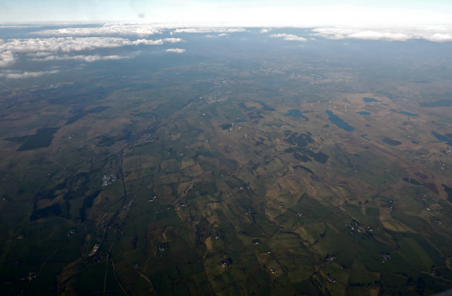
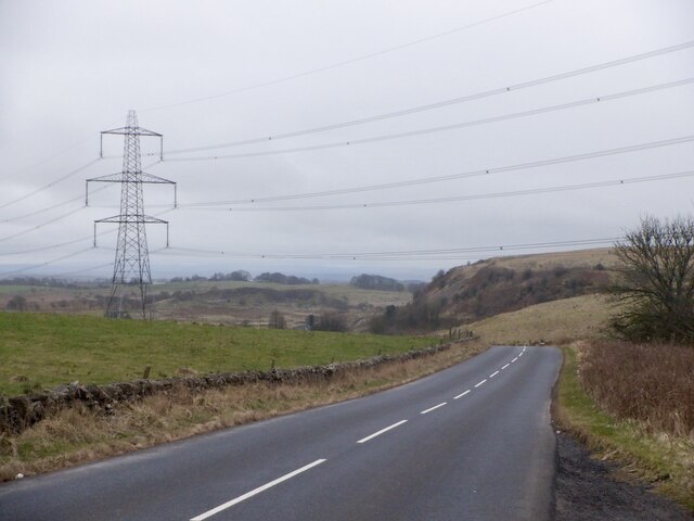
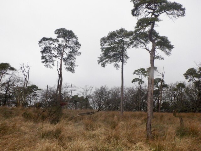
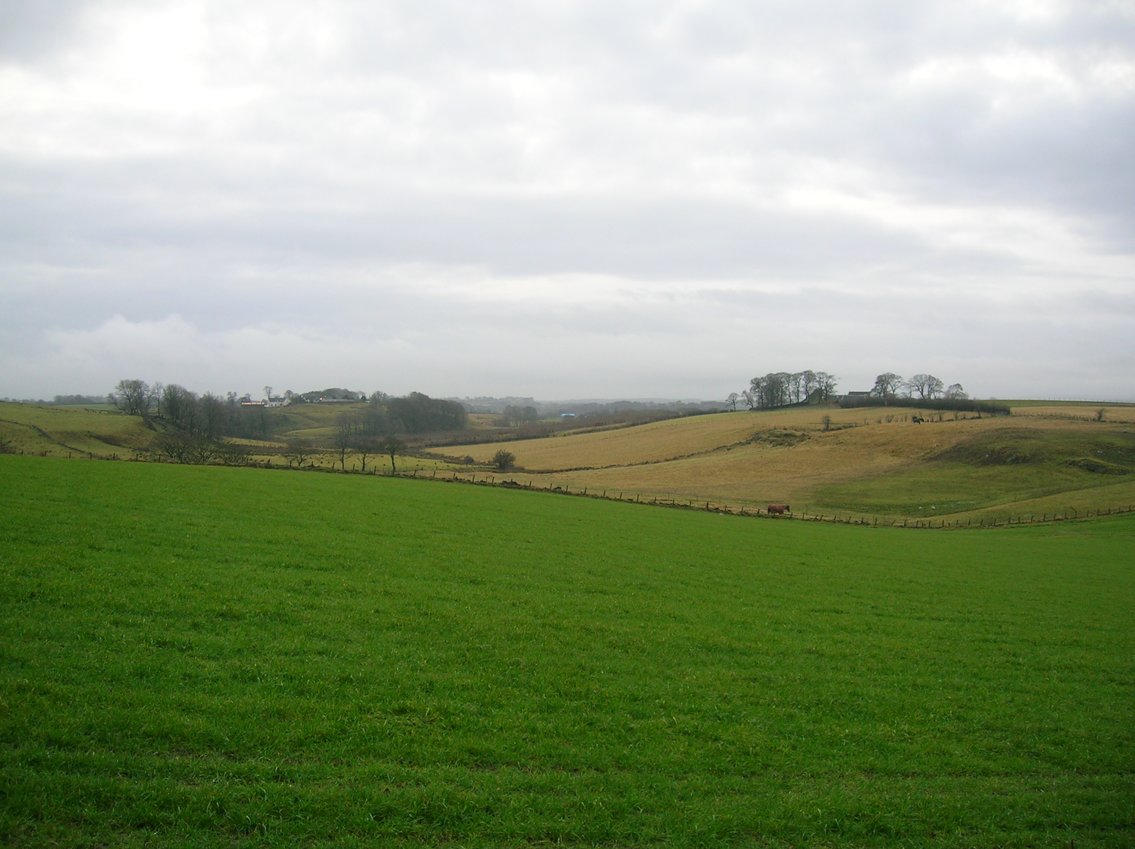
Blacksnip Plantation is a picturesque wood located in Ayrshire, Scotland. Spanning across a vast area, it is known for its dense forest and diverse range of tree species. The plantation is situated in a rural area, surrounded by rolling hills and fields, adding to its serene and tranquil ambiance.

The wood is home to a wide variety of trees, including oak, birch, beech, and pine, creating a rich and vibrant ecosystem. The dense foliage provides a habitat for an array of wildlife, such as red squirrels, deer, and a variety of bird species. Nature enthusiasts and birdwatchers are often drawn to the plantation to observe and appreciate these creatures in their natural habitat.

Blacksnip Plantation offers a network of well-maintained walking trails, allowing visitors to explore the wood at their own pace. These trails wind through the forest, offering stunning views of the surrounding landscape and providing a peaceful escape from the hustle and bustle of everyday life.

Additionally, the wood provides recreational opportunities, with designated areas for picnicking and camping. Visitors can enjoy a leisurely picnic amidst the towering trees or set up camp for a night under the starry sky.

Blacksnip Plantation is a popular destination for nature lovers, hikers, and families seeking a peaceful retreat in the heart of nature. Its beauty and tranquility make it an ideal spot to immerse oneself in the wonders of the Scottish countryside.

If you have any feedback on the listing, please let us know in the comments section below.

Blacksnip Plantation Images

Images are sourced within 2km of 55.739684/-4.4806264 or Grid Reference NS4452. Thanks to Geograph Open Source API. All images are credited.

Minor Road, between Uplawmoor and Neilston Oak tree and Dareduff Hill.
Minor Road, between Uplawmoor and Neilston
Oak tree and Dareduff Hill.
Isolated Big Bale Adjacent to the minor road between Uplawmoor and Neilston. Dareduff Hill in the distance.
Isolated Big Bale
Adjacent to the minor road between Uplawmoor and Neilston. Dareduff Hill in the distance.
Townened of Fulwood from the air The disused quarry opposite Craignaught Farm <a href="https://www.geograph.org.uk/photo/171003">NS4451 : Disused quarry</a> can be seen in the lower right corner.
Townened of Fulwood from the air
The disused quarry opposite Craignaught Farm NS4451 : Disused quarry can be seen in the lower right corner.
Lugton from the air Lugton is in the lower left quadrant, with Uplawmoor and Neilston are also visible further along the Glasgow to Kilmarnock railway line.
Lugton from the air
Lugton is in the lower left quadrant, with Uplawmoor and Neilston are also visible further along the Glasgow to Kilmarnock railway line.
Straight road beyond Glebe Knowe County boundary sign just visible.
Straight road beyond Glebe Knowe
County boundary sign just visible.
Sheepfold  near Craignaught Farm
Sheepfold near Craignaught Farm
Pool opposite Craignaught Farm
Gates at a bend in the road This is on the minor road heading toward Uplawmoor just after Linnhead. The gate glimpsed end-on at the right of the picture is for the solitary wind turbine seen in  <a href="https://www.geograph.org.uk/photo/5041418">NS4354 : Wind turbine near Linnhead</a>.
Gates at a bend in the road
This is on the minor road heading toward Uplawmoor just after Linnhead. The gate glimpsed end-on at the right of the picture is for the solitary wind turbine seen in NS4354 : Wind turbine near Linnhead.
Pond, Craignaught Probably associated with the quarry to the west.
Pond, Craignaught
Probably associated with the quarry to the west.
Neilston to Dunlop road
Road, Carswell
Road, Carswell
In the Sitka, Dareduff Hill First generation plantation with a cut path between rows of trees.
In the Sitka, Dareduff Hill
First generation plantation with a cut path between rows of trees.
Near the summit, Dareduff Hill A pond in a quarry with the highest point a short way into the trees.
Near the summit, Dareduff Hill
A pond in a quarry with the highest point a short way into the trees.
Wheely bins, East Muirshiel Also some of the useless recycling boxes used by East Lothian Council - they get blown away.
Wheely bins, East Muirshiel
Also some of the useless recycling boxes used by East Lothian Council - they get blown away.
Gate, Knockmade Both sides of the road are now wooded.
Gate, Knockmade
Both sides of the road are now wooded.
Bath in a former field The fields here have been fenced off and left with some tree planting in the drier parts.
Bath in a former field
The fields here have been fenced off and left with some tree planting in the drier parts.
Summit, Knockmade Knockmade Plantation
Summit, Knockmade
Knockmade Plantation
Bath in a field, Hazelbank
Show me another place!

Blacksnip Plantation is located at Grid Ref: NS4452 (Lat: 55.739684, Lng: -4.4806264)

Unitary Authority: East Ayrshire

Police Authority: Ayrshire

What 3 Words

///deflect.stiffly.shepherds. Near Dunlop, East Ayrshire

Nearby Locations

Blacksnip Plantation

Related Wikis

Halket Loch

Halket Loch' also known as Halkhead or Halketh, was situated in the mid-Ayrshire clayland near Lugton. It is visible as a surface depression in pastureland...

Uplawmoor (L&A) railway station

Uplawmoor railway station was a railway station serving the village of Uplawmoor, East Renfrewshire, Scotland as part of the Lanarkshire and Ayrshire Railway...

Lugton High railway station

Lugton High railway station was a railway station serving the hamlet of Lugton, East Ayrshire, Scotland as part of the Lanarkshire and Ayrshire Railway...

Lugton railway station

Lugton railway station was a railway station serving the hamlet of Lugton, East Ayrshire, Scotland. The station was originally part of the Glasgow, Barrhead...

Nearby Amenities

Located within 500m of 55.739684,-4.4806264
Power: tower
Lat/Long: 55.7388423/-4.4746604
Power: tower
Lat/Long: 55.7418167/-4.4743058
Power: pole
Lat/Long: 55.7407226/-4.4870954
Power: pole
Lat/Long: 55.7407343/-4.4854656
Power: pole
Lat/Long: 55.7407473/-4.483817
Power: pole
Lat/Long: 55.7410421/-4.4822101
Power: pole
Lat/Long: 55.7412712/-4.4809267
Power: pole
Lat/Long: 55.741465/-4.4798624
Power: pole
Lat/Long: 55.7416765/-4.4786833
Power: pole
Lat/Long: 55.7418832/-4.4775314
Power: pole
Lat/Long: 55.7425869/-4.4784079
Power: pole
Lat/Long: 55.7422721/-4.4779154
Power: pole
Lat/Long: 55.7414533/-4.4767989
Power: pole
Lat/Long: 55.7409152/-4.4758306
Power: pole
Lat/Long: 55.7404101/-4.4749333
Power: pole
Lat/Long: 55.7399096/-4.4740359
Power: pole
Lat/Long: 55.7394092/-4.4731386
Power: pole
Lat/Long: 55.7369708/-4.4864068
Power: pole
Lat/Long: 55.7376099/-4.4861501
Power: pole
Lat/Long: 55.7382819/-4.4858997
Power: pole
Lat/Long: 55.738921/-4.4856367
Power: pole
Lat/Long: 55.7395813/-4.4853654
Power: pole
Lat/Long: 55.7400806/-4.4854134
The data included in this document is from www.openstreetmap.org. The data is made available under ODbL.

Have you been to Blacksnip Plantation?

Leave your review of Blacksnip Plantation below (or comments, questions and feedback).