Broadwigg Plantation

Wood, Forest in Wigtownshire

Scotland

Broadwigg Plantation

Old milestone G for Garlieston, 3 miles northeast of Whithorn near a Bends sign on the B7004.   Vegetation cleared by a Milestone Society member.
Old milestone Credit: Jacqueline Crowther

Broadwigg Plantation is a vast woodland located in Wigtownshire, a picturesque district in southwest Scotland. Covering an area of approximately 500 acres, the plantation is renowned for its diverse range of native tree species, making it a significant natural resource in the region.

The plantation primarily consists of deciduous trees, including oak, birch, and beech, which thrive in the rich, loamy soil found in the area. These trees provide a haven for a variety of wildlife, including numerous bird species, small mammals, and insects. The dense foliage also offers a tranquil and scenic environment for nature enthusiasts, hikers, and photographers.

Broadwigg Plantation is meticulously managed by the local forestry department, ensuring the sustainability of the woodland and its ecosystem. Regular thinning and selective felling maintain the health of the trees, while also promoting growth and regeneration. This careful management enables the long-term preservation of the plantation's natural beauty and the sustainable harvesting of timber.

In addition to its ecological significance, Broadwigg Plantation serves as a recreational area for locals and visitors alike. The well-maintained trails winding through the woodland offer opportunities for walking, jogging, and cycling, attracting outdoor enthusiasts throughout the year. The plantation's accessibility and proximity to nearby towns make it a popular destination for families, dog walkers, and nature lovers seeking a peaceful retreat.

Overall, Broadwigg Plantation is a cherished woodland in Wigtownshire, offering a harmonious blend of natural beauty, biodiversity, and recreational opportunities. Its careful management ensures the preservation of this valuable resource for future generations to enjoy.

If you have any feedback on the listing, please let us know in the comments section below.

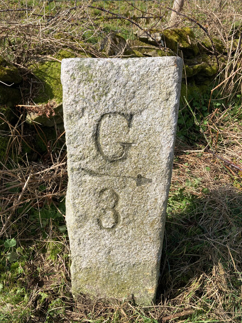
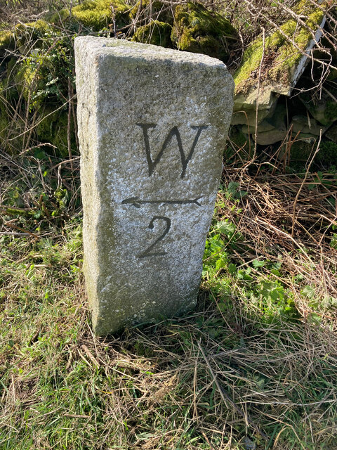
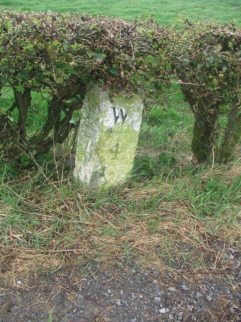
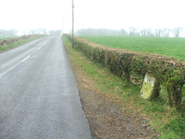
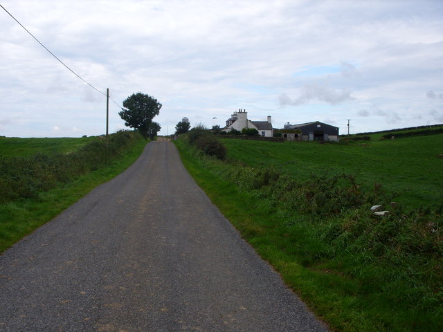
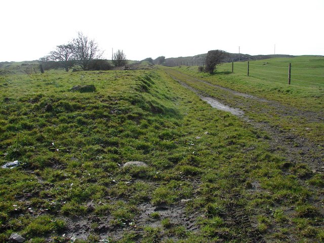
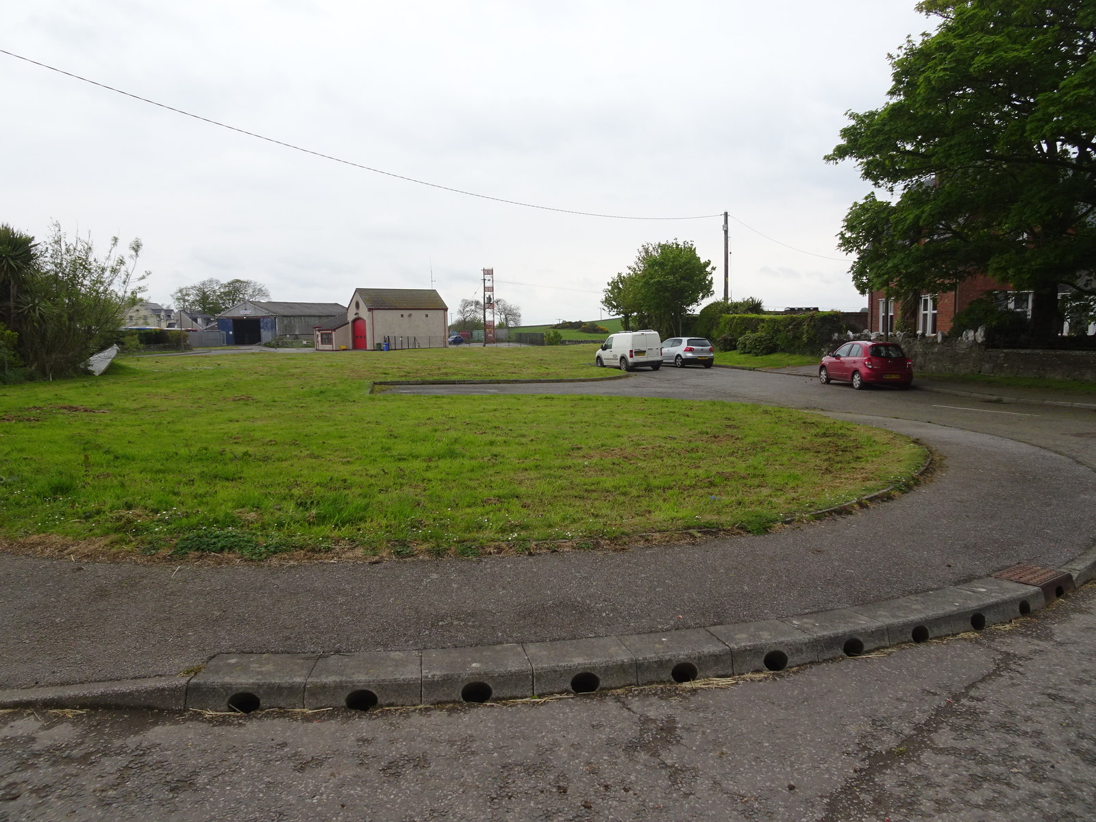
Broadwigg Plantation Images

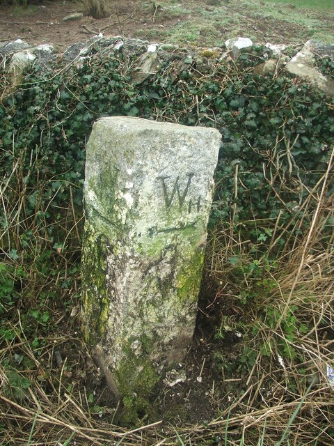
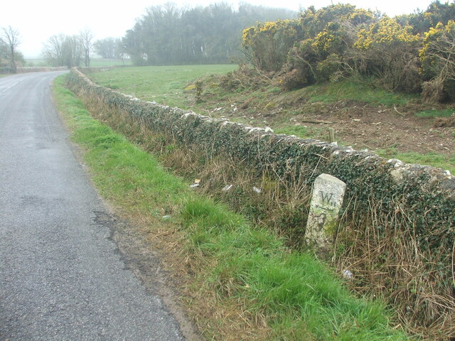
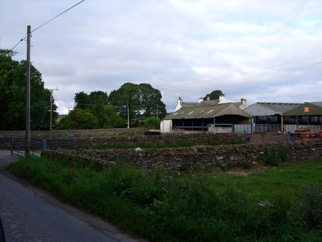
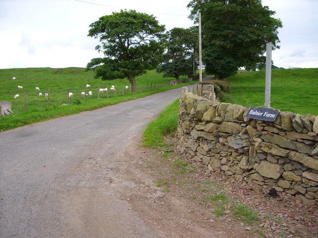
Images are sourced within 2km of 54.764355/-4.4240734 or Grid Reference NX4443. Thanks to Geograph Open Source API. All images are credited.

Old milestone G for Garlieston, 3 miles northeast of Whithorn near a Bends sign on the B7004.   Vegetation cleared by a Milestone Society member.
Old milestone
G for Garlieston, 3 miles northeast of Whithorn near a Bends sign on the B7004. Vegetation cleared by a Milestone Society member.
Old milestone W for Whithorn on this stone on the western verge of the B7004 just south of the Bends sign.
Old milestone
W for Whithorn on this stone on the western verge of the B7004 just south of the Bends sign.
Old milestone This milestone is tucked under the hedge and probably 'disappears' in the summer.   It is south of the lane that runs southwest towards Ravenstone Mains.
Old milestone
This milestone is tucked under the hedge and probably 'disappears' in the summer. It is south of the lane that runs southwest towards Ravenstone Mains.
Old milestone A misty, murky day for the photograph of the Wigtown 7 milestone.   This face Wh/ arrow to left/4.
Old milestone
A misty, murky day for the photograph of the Wigtown 7 milestone. This face Wh/ arrow to left/4.
Old milestone This milestone is just north of the entrance to Broadwigg Farm which is on opposite side of the A746.  Some dead grass tampled down but another milestone that needs a scrub down.
Old milestone
This milestone is just north of the entrance to Broadwigg Farm which is on opposite side of the A746. Some dead grass tampled down but another milestone that needs a scrub down.
Old milestone The view southwards along the A746 shows the milestone near a gorse covered mound in the field behind the wall.
Old milestone
The view southwards along the A746 shows the milestone near a gorse covered mound in the field behind the wall.
Old milestone This milestone doesn't look much different to what it did in 2008.  It needs some work from Highways to set it upright at its correct height and then it could be repainted.
Old milestone
This milestone doesn't look much different to what it did in 2008. It needs some work from Highways to set it upright at its correct height and then it could be repainted.
Old milestone The entrance to Outon Corwar farm is just out of shot on the east side of the road.  'Wh' is to the south, just 2 miles away.
Old milestone
The entrance to Outon Corwar farm is just out of shot on the east side of the road. 'Wh' is to the south, just 2 miles away.
Farm-life at Broughton Skeog The Machars is a distinctive, undulating plateau with distant views of
the Galloway hills to the North and a rich farming area.
Farm-life at Broughton Skeog
The Machars is a distinctive, undulating plateau with distant views of the Galloway hills to the North and a rich farming area.
Haymaking at Broughton Skeog Baling and stacking hay while the sun shines. Distant views of the Cairnsmore of Fleet.
Haymaking at Broughton Skeog
Baling and stacking hay while the sun shines. Distant views of the Cairnsmore of Fleet.
Bridgehouse Farm
Bridgehouse Farm
Baltier Farm Road
Baltier Farm Road
Low Barledziew Farm
Low Barledziew Farm
Reiffer Park Farm
Reiffer Park Farm
Minor Road at Broughton Skeog
Broughton Skeog: Forgotten Station Line of former track bed of Wigtownshire Railway track (1877-1964) with traces of the short lived Broughton Skeog Station (1877-1885). A manual level crossing (behind camera) also existed but no trace left.
Broughton Skeog: Forgotten Station
Line of former track bed of Wigtownshire Railway track (1877-1964) with traces of the short lived Broughton Skeog Station (1877-1885). A manual level crossing (behind camera) also existed but no trace left.
Wall Near Baltier
Wall Near Baltier
Cottage Near Cults
Cottage Near Cults
Show me another place!

Broadwigg Plantation is located at Grid Ref: NX4443 (Lat: 54.764355, Lng: -4.4240734)

Unitary Authority: Dumfries and Galloway

Police Authority: Dumfries and Galloway

What 3 Words

///marketing.hopefully.plank. Near Whithorn, Dumfries & Galloway

Nearby Locations

Broadwigg Plantation

Related Wikis

Broughton Skeog railway station

Broughton Skeog (NX4554444071) was a railway station that was located near level crossing gates over a minor road on the Wigtownshire Railway branch line...

Sorbie

Sorbie (Scottish Gaelic: Soirbidh) is a small village in Wigtownshire, Machars, within the Administration area of Dumfries and Galloway Council, Scotland...

Whithorn railway station

Whithorn is the closed terminus of the Wigtownshire Railway branch, from Newton Stewart, of the Portpatrick and Wigtownshire Joint Railway. It served...

Whithorn

Whithorn (Scots pronunciation: [ˈʍɪthorn], Taigh Mhàrtainn in modern Gaelic), is a royal burgh in the historic county of Wigtownshire in Dumfries and Galloway...

Nearby Amenities

Located within 500m of 54.764355,-4.4240734
Power: pole
Lat/Long: 54.7624351/-4.4177582
Power: pole
Lat/Long: 54.7622279/-4.4190684
Power: pole
Lat/Long: 54.7620272/-4.4203537
Power: pole
Lat/Long: 54.7618044/-4.4217351
Power: pole
Lat/Long: 54.7616503/-4.4226822
Power: pole
Lat/Long: 54.7614896/-4.423662
Power: pole
Lat/Long: 54.7616714/-4.4243133
Power: pole
Lat/Long: 54.7620472/-4.4255487
Power: pole
Lat/Long: 54.7622511/-4.4262326
Power: pole
Lat/Long: 54.7627333/-4.4274314
Power: pole
Lat/Long: 54.7631191/-4.4284554
Power: pole
Lat/Long: 54.7631889/-4.4294295
Power: pole
Lat/Long: 54.7629661/-4.4303517
Power: pole
Lat/Long: 54.7627256/-4.4313219
Power: pole
Lat/Long: 54.761095/-4.4215429
Power: pole
Lat/Long: 54.7603113/-4.4213182
The data included in this document is from www.openstreetmap.org. The data is made available under ODbL.

Have you been to Broadwigg Plantation?

Leave your review of Broadwigg Plantation below (or comments, questions and feedback).