Capel Dewi

Settlement in Cardiganshire

Wales

Capel Dewi

Farmland in the hills north of Capel Bangor
Farmland in the hills north of Capel Bangor Credit: Eirian Evans

Capel Dewi is a small village located in the county of Cardiganshire, in the western part of Wales, United Kingdom. Situated approximately 4 miles northeast of the town of Aberystwyth, Capel Dewi is nestled in a rural setting, surrounded by picturesque countryside and rolling hills.

The village is primarily residential, with a population of around 400 residents. It is known for its tight-knit community and friendly atmosphere, with a strong sense of Welsh culture and heritage. The Welsh language is still widely spoken in the area, adding to the village's traditional charm.

Capel Dewi is home to a 19th-century church, also named Capel Dewi, which serves as a focal point for the community. The church is a beautiful example of rural Welsh architecture, with its stone walls and slate roof. It holds regular services and is a venue for various community events and gatherings.

Despite its small size, Capel Dewi boasts a range of amenities for its residents. These include a local primary school, a village hall, and a post office. The village is also well-connected to nearby towns and cities, with regular bus services and easy access to the main road network.

Surrounded by stunning natural beauty, Capel Dewi offers plenty of opportunities for outdoor activities. The village is close to the Ceredigion coastal path, providing scenic walks along the nearby coastline. Additionally, the nearby Cambrian Mountains offer hiking and cycling routes, allowing residents to enjoy the rugged Welsh countryside.

In summary, Capel Dewi is a charming rural village in Cardiganshire, Wales, with a strong sense of community and a beautiful natural setting.

If you have any feedback on the listing, please let us know in the comments section below.
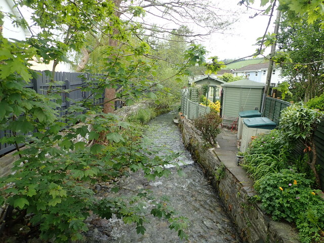
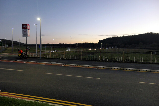
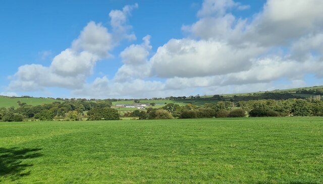
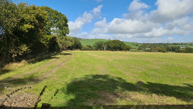
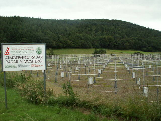
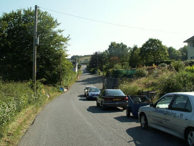
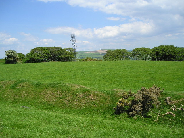
Capel Dewi Images

Images are sourced within 2km of 52.422225/-4.0160523 or Grid Reference SN6382. Thanks to Geograph Open Source API. All images are credited.

Farmland in the hills north of Capel Bangor
Bridle path near Capel Madog
Farm track to Pengwmryn farm
Green lane to Felin Hen
Felin Hen Farm in the hills near Penrhyn Coch
Felin Hen
Farm in the hills near Penrhyn Coch
Houses on a junction at Cefn Llwyd
Farm track to PenyBerth Isaf
Penrhyn-Coch Arriving at the village from the South
Penrhyn-Coch
Arriving at the village from the South
Nant Clarach at Penrhyn-Coch
The A487 road Viewed from Bow Street station entrance.
The A487 road
Viewed from Bow Street station entrance.
Fields near Bow Street Viewed from the Bow Street interchange, the fields are on the slopes of Allt Ddel. Fields in this area are mostly managed by the Institute of Grassland and Environmental Research (IGER), a department of Aberystwyth University.
Fields near Bow Street
Viewed from the Bow Street interchange, the fields are on the slopes of Allt Ddel. Fields in this area are mostly managed by the Institute of Grassland and Environmental Research (IGER), a department of Aberystwyth University.
Gogerddan Campus of Aberystwyth University
View from Vale of Rheidol railway to Cwmwythig The view is taken from a Vale of Rheidol train and looks across the Rheidol valley towards Cwmwythig Farm, Capel Bangor near Aberystwyth.
View from Vale of Rheidol railway to Cwmwythig
The view is taken from a Vale of Rheidol train and looks across the Rheidol valley towards Cwmwythig Farm, Capel Bangor near Aberystwyth.
A view out from Bow Street station The hill is Allt Ddêl. Most of the farmland hereabouts is operated by the Institute of Biological, Environmental and Rural Sciences (IGER), a department of Aberystwyth University.
A view out from Bow Street station
The hill is Allt Ddêl. Most of the farmland hereabouts is operated by the Institute of Biological, Environmental and Rural Sciences (IGER), a department of Aberystwyth University.
Temporary traffic lights on the A4159 road approaching Bow Street The junction with the A487 was being revised in conjunction with the construction of the new Bow Street railway station.
Temporary traffic lights on the A4159 road approaching Bow Street
The junction with the A487 was being revised in conjunction with the construction of the new Bow Street railway station.
Road works and construction site - new Bow Street station
Farmland in lower Vale of Rheidol From Vale of Rheidol Railway looking towards Pentre
Farmland in lower Vale of Rheidol
From Vale of Rheidol Railway looking towards Pentre
Field near Glasrug From Vale of Rheidol Railway
Field near Glasrug
From Vale of Rheidol Railway
Show me another place!

Capel Dewi is located at Grid Ref: SN6382 (Lat: 52.422225, Lng: -4.0160523)

Unitary Authority: Ceredigion

Police Authority: Dyfed Powys

What 3 Words

///nearly.spearing.eats. Near Bow Street, Ceredigion

Nearby Locations

Coed y Gwmryn Capel Dewi

Related Wikis

Capel Dewi, Faenor

Capel Dewi is a hamlet in Ceredigion, Wales, approximately 3.5 miles (5.6 km) east of Aberystwyth. It is one of two settlements called Capel Dewi in the...
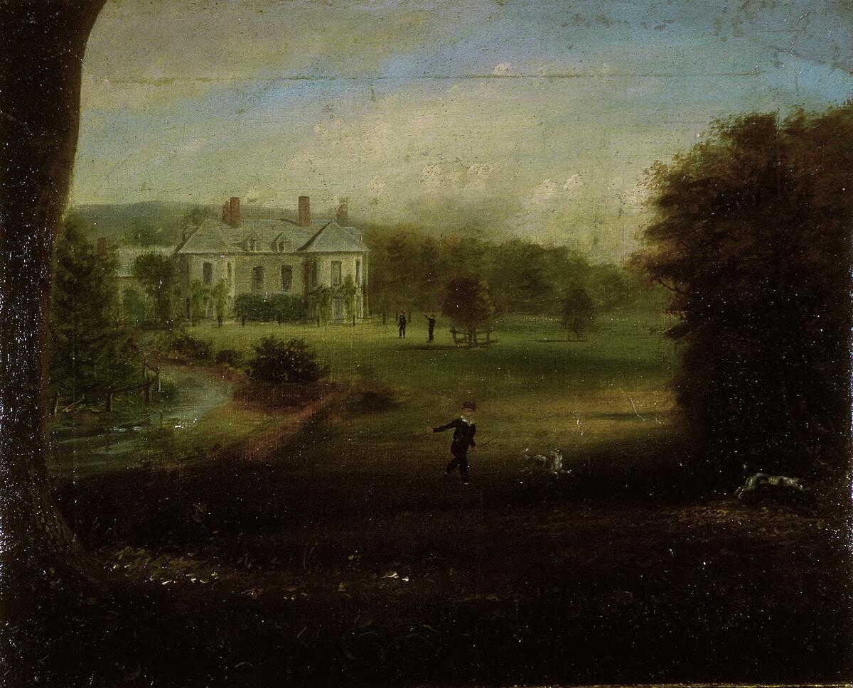
Gogerddan

Gogerddan, or in English, Gogarthen, was an estate near to Trefeurig and the most important in what was then the county of Cardiganshire, Wales. Owned...

Faenor, Ceredigion

Faenor is a community and electoral ward sharing a boundary with the town of Aberystwyth in Ceredigion, Wales.Faenor also has two community wards which...

Comins Coch

Comins Coch (officially spelt Comins-coch) is a small village in Ceredigion, Wales, to the northeast of Aberystwyth. The village is covered by Faenor community/parish...

Hen Gaer

Hen Gaer is an Iron Age hillfort, on a hill adjacent to and east of Bow Street, Ceredigion, Wales. Other names of the hillfort are Broncastellan and Caer...

Bow Street railway station

Bow Street is a railway station on the Cambrian Line, which runs between Shrewsbury and Aberystwyth or Pwllheli. The station, situated 4 miles 30 chains...

Cefn-y-Llwyd

Cefn-y-Llwyd is a hamlet in the community of Trefeurig, Ceredigion, Wales, which is 74 miles (119.1 km) from Cardiff and 176 miles (283.3 km) from London...

Ystrad Peithyll

Ystrad Peithyll (also known as Stradpeithyll in the Brut y Tywysogion and Rhosgoch Motte) is the remains of a small 12th-century motte-and-bailey castle...

Nearby Amenities

Located within 500m of 52.422225,-4.0160523
Post Box
Operator: Royal Mail
Ref: SY23 70
Lat/Long: 52.4221408/-4.0162466
Turning Circle
Lat/Long: 52.4212014/-4.0151918
Capel Dewi
Place: hamlet
Lat/Long: 52.4219035/-4.0160197
Capel Dewi Village Noticeboard
Tourism: information
Lat/Long: 52.4221384/-4.0161854
Bus Stop
Capel Dewi
Naptan AtcoCode: 5230AWD71663
Naptan NaptanCode: cejdmpg
Public Transport: platform
Shelter: yes
Lat/Long: 52.4223371/-4.0159846
Peithyll
Place: farm
Lat/Long: 52.4251697/-4.0143596
Power: pole
Lat/Long: 52.4234856/-4.0096772
Power: pole
Lat/Long: 52.4234324/-4.0106052
Power: pole
Lat/Long: 52.4233343/-4.0124399
Power: pole
Lat/Long: 52.423367/-4.0149316
Power: pole
Lat/Long: 52.4227078/-4.0183702
Power: pole
Lat/Long: 52.4224935/-4.0198347
Power: pole
Lat/Long: 52.4222433/-4.0213609
Barrier: yes
Lat/Long: 52.4183475/-4.0149934
Direction: 280
Generator Method: photovoltaic
Generator Output Electricity: yes
Generator Solar Modules: 20
Generator Source: solar
Generator Type: solar_photovoltaic_panel
Location: roof
Power: generator
Lat/Long: 52.4232279/-4.0168226
Direction: 215
Generator Method: photovoltaic
Generator Output Electricity: yes
Generator Solar Modules: 22
Generator Source: solar
Generator Type: solar_photovoltaic_panel
Location: roof
Power: generator
Lat/Long: 52.4229041/-4.0169352
Direction: 170
Generator Method: photovoltaic
Generator Output Electricity: yes
Generator Solar Modules: 16
Generator Source: solar
Generator Type: solar_photovoltaic_panel
Location: roof
Power: generator
Lat/Long: 52.4223267/-4.0171364
Direction: 265
Generator Method: photovoltaic
Generator Output Electricity: yes
Generator Solar Modules: 18
Generator Source: solar
Generator Type: solar_photovoltaic_panel
Location: roof
Power: generator
Lat/Long: 52.4216151/-4.0155539
Direction: SSE
Generator Method: photovoltaic
Generator Output Electricity: yes
Generator Solar Modules: 16
Generator Source: solar
Generator Type: solar_photovoltaic_panel
Location: roof
Power: generator
Lat/Long: 52.4212741/-4.0226135
Bus Stop
Capel Dewi
Naptan AtcoCode: 5230CGX16336
Naptan NaptanCode: cejdmpj
Physically Present: no
Public Transport: platform
Lat/Long: 52.4223177/-4.0161448
The data included in this document is from www.openstreetmap.org. The data is made available under ODbL.

Have you been to Capel Dewi?

Leave your review of Capel Dewi below (or comments, questions and feedback).