Gartfairn Wood

Wood, Forest in Stirlingshire

Scotland

Gartfairn Wood

Former watermill at Milton of Buchanan The mill wheel was driven by water fed through an underground channel from a mill pond on raised ground just to the NW of the mill. To the SW side of the wheel was a timber-built sawmill forming which was demolished when the mill was converted to a dwelling. It is listed Category C.
Former watermill at Milton of Buchanan Credit: Eirian Evans

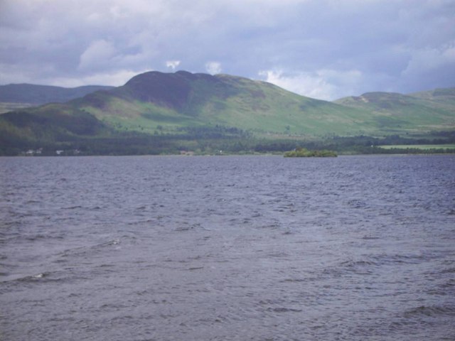
Gartfairn Wood is a picturesque forest located in Stirlingshire, a historic county in central Scotland. Covering an area of approximately 100 acres, this woodland is a haven for nature enthusiasts and outdoor enthusiasts alike.

The wood is primarily composed of native Scottish tree species such as oak, birch, and Scots pine, which create a diverse and vibrant ecosystem. The dense canopy of trees provides shelter for a wide range of animals, including red squirrels, roe deer, and a variety of bird species. The wood is also home to a number of rare and protected plant species, making it an important conservation area.

Walking through Gartfairn Wood, visitors can immerse themselves in its natural beauty. The forest floor is carpeted with wildflowers and ferns, creating a colorful and enchanting atmosphere. There are several well-maintained trails that wind their way through the wood, offering visitors the opportunity to explore and discover its hidden treasures.

The wood also features a small stream that meanders through its heart, adding to its charm and tranquility. The sound of trickling water and the fresh scent of the forest create a soothing and relaxing ambiance, making it a popular spot for nature lovers seeking a peaceful retreat.

Overall, Gartfairn Wood is a captivating woodland that showcases the natural beauty of Stirlingshire. Its diverse ecosystem, well-preserved trails, and serene atmosphere make it a must-visit destination for anyone looking to connect with nature and experience the magic of the Scottish countryside.

If you have any feedback on the listing, please let us know in the comments section below.

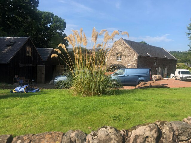
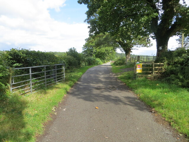
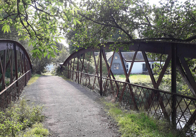
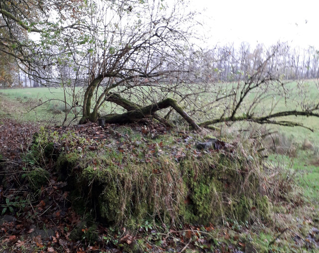
Gartfairn Wood Images

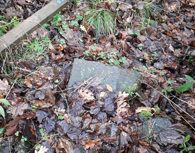
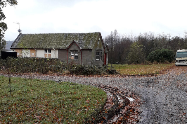
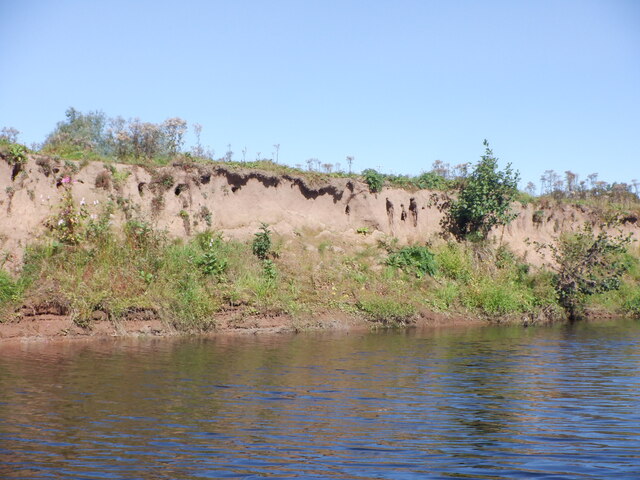
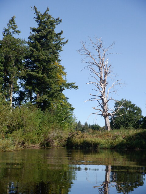
Images are sourced within 2km of 56.069519/-4.5163885 or Grid Reference NS4389. Thanks to Geograph Open Source API. All images are credited.

Former watermill at Milton of Buchanan The mill wheel was driven by water fed through an underground channel from a mill pond on raised ground just to the NW of the mill. To the SW side of the wheel was a timber-built sawmill forming which was demolished when the mill was converted to a dwelling. It is listed Category C.
Former watermill at Milton of Buchanan
The mill wheel was driven by water fed through an underground channel from a mill pond on raised ground just to the NW of the mill. To the SW side of the wheel was a timber-built sawmill forming which was demolished when the mill was converted to a dwelling. It is listed Category C.
Stepping Stones and Ford Tall Stepping Stones alongside a Ford paved with cobble stones.
The stepping stones cannot be used because two of them have collapsed,
The Ford crosses the Burn of Mar which comes from Milton of Buchanan and flows into the River Endrick.
Shown on Stirlingshire XIV.13 Ordnance Survey Map. Surveyed 1860
Stepping Stones and Ford
Tall Stepping Stones alongside a Ford paved with cobble stones. The stepping stones cannot be used because two of them have collapsed, The Ford crosses the Burn of Mar which comes from Milton of Buchanan and flows into the River Endrick. Shown on Stirlingshire XIV.13 Ordnance Survey Map. Surveyed 1860
Creityhall Road leaving Milton of Buchanan Looking north-eastward. This section of road is used by the West Highland Way Path.
Creityhall Road leaving Milton of Buchanan
Looking north-eastward. This section of road is used by the West Highland Way Path.
Loch Lomond off Balmaha Very shallow here, a fair bit of getting out and walking required.
Loch Lomond off Balmaha
Very shallow here, a fair bit of getting out and walking required.
Endrick Mouth View of the alluvial fan and outflow of the Endrick Water from Inchcailloch.
Endrick Mouth
View of the alluvial fan and outflow of the Endrick Water from Inchcailloch.
Truss Bridge over River Endrick Metal truss bridge over the River Endrick. 
September 2022 gates were open and bridge looked safe for pedestrians.
Part of the South Drive of the Buchanan Estate.
Private bridge built by Duke of Montrose, shown on OS Map Stirlingshire Sheet XX. Survey Date 1861. Adjacent to and north of Woodend Lodge which appears in the background.
Truss Bridge over River Endrick
Metal truss bridge over the River Endrick. September 2022 gates were open and bridge looked safe for pedestrians. Part of the South Drive of the Buchanan Estate. Private bridge built by Duke of Montrose, shown on OS Map Stirlingshire Sheet XX. Survey Date 1861. Adjacent to and north of Woodend Lodge which appears in the background.
Early 20th Century Water Tank Brick built water tank. Approximately 3 metres x 2 metres x 1 metre high. It is no longer in use and overgrown with vegetation. The construction and associated broken metal pipework indicate that it was probably built in the 1920s. The foundation of the south wall appears to have been built on top of the remains of the north wall of the earlier St. Ronan's Well. It is situated approximately one metre north of the boundary fence which surrounds Mains Farm's grass fields.
Early 20th Century Water Tank
Brick built water tank. Approximately 3 metres x 2 metres x 1 metre high. It is no longer in use and overgrown with vegetation. The construction and associated broken metal pipework indicate that it was probably built in the 1920s. The foundation of the south wall appears to have been built on top of the remains of the north wall of the earlier St. Ronan's Well. It is situated approximately one metre north of the boundary fence which surrounds Mains Farm's grass fields.
St Ronan's Well These are the remnants of St Ronan's Well. A depression approximately 700mm in dia and 200mm deep. It is filled with mud, leaves and discarded pieces of masonry. It is adjacent to and south of, the brick built water tank which apparently replaced the original well. Were it not for presence of the water tank, the position of St Ronan's well would be almost impossible to locate. It is located beneath the existing barbed wire fence. St Ronan would be disappointed.
St Ronan's Well
These are the remnants of St Ronan's Well. A depression approximately 700mm in dia and 200mm deep. It is filled with mud, leaves and discarded pieces of masonry. It is adjacent to and south of, the brick built water tank which apparently replaced the original well. Were it not for presence of the water tank, the position of St Ronan's well would be almost impossible to locate. It is located beneath the existing barbed wire fence. St Ronan would be disappointed.
Woodend Lodge This Lodge is positioned on South Avenue on the bank of the River Endrick at the south side of the metal truss bridge. Several windows have been boarded up; it is no longer occupied, but not yet derelict.
A derelict white van is permanently parked on South Avenue and performs the useful task of preventing four wheeled vehicles from attempting to cross the ageing bridge.
Woodend Lodge
This Lodge is positioned on South Avenue on the bank of the River Endrick at the south side of the metal truss bridge. Several windows have been boarded up; it is no longer occupied, but not yet derelict. A derelict white van is permanently parked on South Avenue and performs the useful task of preventing four wheeled vehicles from attempting to cross the ageing bridge.
Sandy bank, Endrick Water A short distance from the other side of a meander. The Endrick is a textbook mature river but with the factor of being a non tidal estuary. There is a good crop of oxbow lakes as well. Blink comparison with old photographs on the National Library of Scotland map site shows how mobile the river course is.
Sandy bank, Endrick Water
A short distance from the other side of a meander. The Endrick is a textbook mature river but with the factor of being a non tidal estuary. There is a good crop of oxbow lakes as well. Blink comparison with old photographs on the National Library of Scotland map site shows how mobile the river course is.
Dead tree and Endrick Water The dead tree is on the Buchanan Castle golf course. The wood on the Dunbartonshire bank (river left) is almost surrounded by a meander.
Dead tree and Endrick Water
The dead tree is on the Buchanan Castle golf course. The wood on the Dunbartonshire bank (river left) is almost surrounded by a meander.
Endrick Water A wooded section with sharp bends.  For ages Mains Farm was in view ahead due to the meanders.
Endrick Water
A wooded section with sharp bends. For ages Mains Farm was in view ahead due to the meanders.
Woodend Bridge, River Endrick The lowest crossing of the Endrick.  Today the spiky gate on the Dunbartonshire  bank was closed but I could not tell if it was locked or not.
Woodend Bridge, River Endrick
The lowest crossing of the Endrick. Today the spiky gate on the Dunbartonshire bank was closed but I could not tell if it was locked or not.
Woodend Bridge, River Endrick The Stirlingshire bank. The gate on the other side was closed but I could not tell if it were locked or not.
Woodend Bridge, River Endrick
The Stirlingshire bank. The gate on the other side was closed but I could not tell if it were locked or not.
Endrick Water Downstream of Woodend Lodge. The river is very wide here and almost at the same level as Loch Lomond.
Endrick Water
Downstream of Woodend Lodge. The river is very wide here and almost at the same level as Loch Lomond.
Willows, Endrick Water Where there is no grazing, the banks of the Endrick are often covered in dense willow woodland. It will be interesting to see the changes when the beavers arrive - any time soon.
Willows, Endrick Water
Where there is no grazing, the banks of the Endrick are often covered in dense willow woodland. It will be interesting to see the changes when the beavers arrive - any time soon.
Endrick Water The Dunbartonshire bank in amongst some big meanders.  The land on this side is grazed by cattle.
Endrick Water
The Dunbartonshire bank in amongst some big meanders. The land on this side is grazed by cattle.
Willows beside the Endrick Water
Show me another place!

Gartfairn Wood is located at Grid Ref: NS4389 (Lat: 56.069519, Lng: -4.5163885)

Unitary Authority: Stirling

Police Authority: Forth Valley

What 3 Words

///branch.emeralds.consented. Near Balloch, West Dunbartonshire

Nearby Locations

Gartfairn Wood Ring Point

Related Wikis

Endrick Water

The Endrick Water or River Endrick (Scottish Gaelic: Eunarag) is a river which flows into the eastern end of Loch Lomond, Scotland. Its drainage basin...

Aber Isle

Aber Isle or Aber Inch is a small island in Loch Lomond, in west central Scotland. It is near the mouth of the River Endrick, by the abandoned village...

Milton of Buchanan

Milton of Buchanan is a small village in Stirling, Scotland, within the parish of Buchanan. Historically, the village was in the Registration County of...

Buchanan, Stirling

Buchanan is a historic parish in Stirlingshire in Scotland. It includes a large part of the eastern shore of Loch Lomond. The most populated village in...

Have you been to Gartfairn Wood?

Leave your review of Gartfairn Wood below (or comments, questions and feedback).