Glove Hill Plantation

Wood, Forest in Wigtownshire

Scotland

Glove Hill Plantation

Old milestone This milestone is just north of the entrance to Broadwigg Farm which is on opposite side of the A746.  Some dead grass tampled down but another milestone that needs a scrub down.
Old milestone Credit: Chris Minto

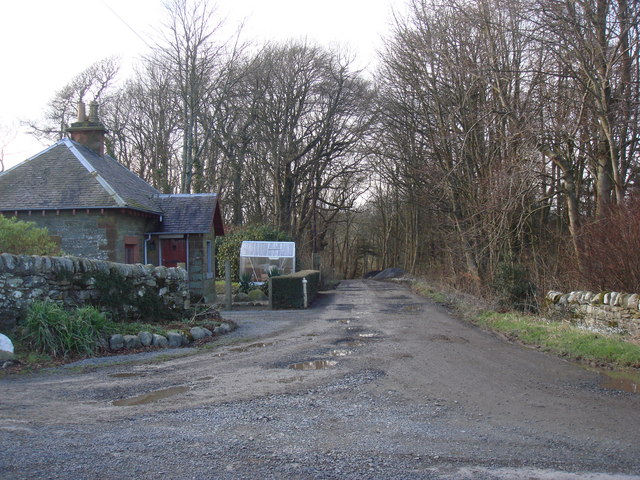
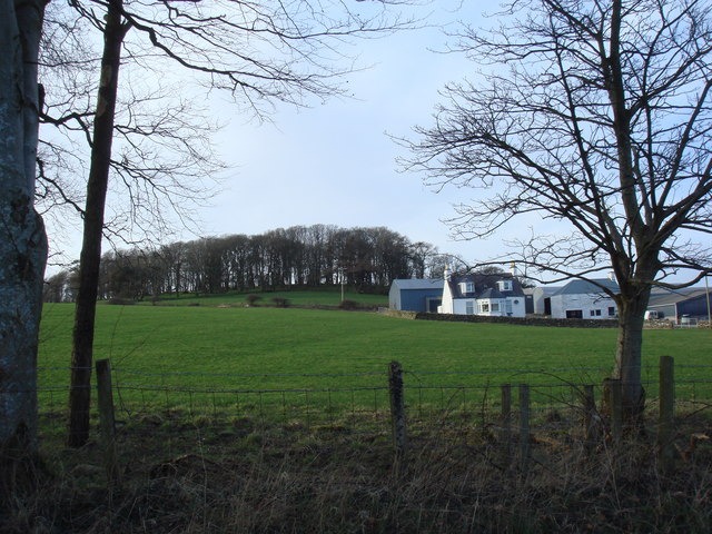
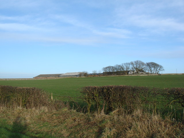
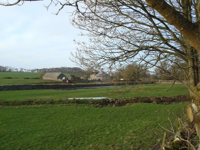
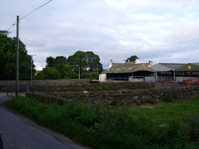
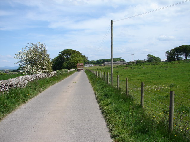
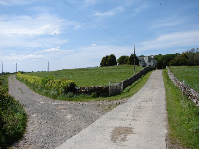
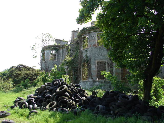
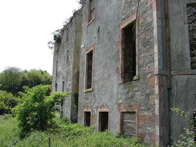
Glove Hill Plantation, located in Wigtownshire, is a sprawling woodland area encompassing approximately 200 acres of lush forest. Situated in the southern part of Scotland, this picturesque plantation is a haven for nature enthusiasts and outdoor lovers.

The plantation is predominantly covered by a mixture of deciduous and coniferous trees, creating a diverse and vibrant ecosystem. The dense woodland is home to a variety of wildlife, including deer, foxes, badgers, and a plethora of bird species. Glove Hill Plantation is particularly renowned for its population of red squirrels, which can be spotted scurrying among the treetops.

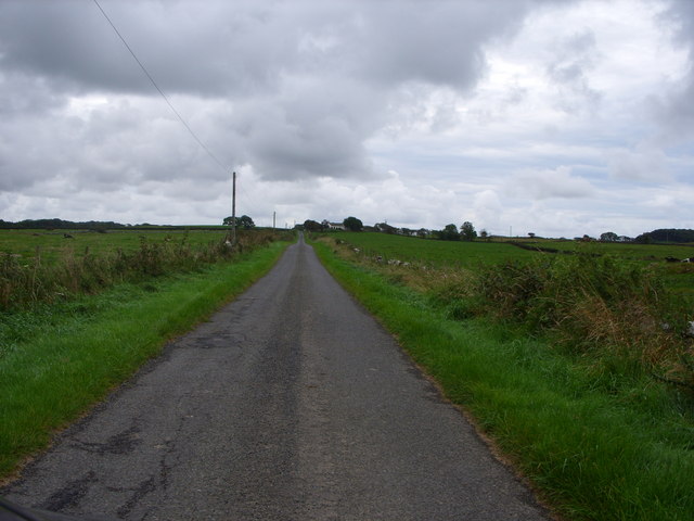
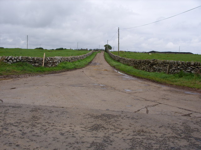
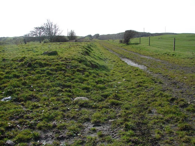
The plantation offers an extensive network of well-maintained trails, enabling visitors to explore the woodland at their leisure. These trails cater to different levels of difficulty, making them suitable for both casual walkers and more experienced hikers. Along the paths, visitors can enjoy breathtaking views of the surrounding countryside, including rolling hills and meandering streams.

Glove Hill Plantation also has several picnic areas and benches scattered throughout the woodland, providing opportunities for visitors to take a break and immerse themselves in the tranquil surroundings. The plantation is open to the public year-round, and admission is free, making it an accessible destination for individuals and families alike.

Overall, Glove Hill Plantation in Wigtownshire is a magnificent woodlands retreat, offering an idyllic escape from the hustle and bustle of everyday life. With its diverse flora and fauna, well-maintained trails, and stunning natural beauty, it is a must-visit destination for anyone seeking to reconnect with nature in the heart of Scotland.

If you have any feedback on the listing, please let us know in the comments section below.

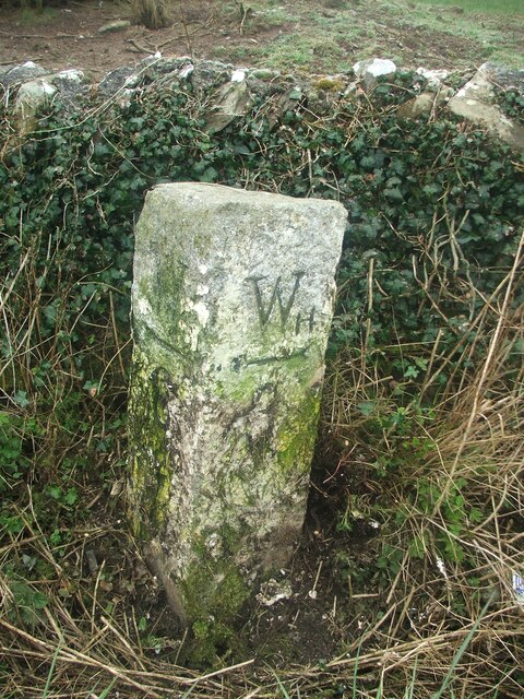
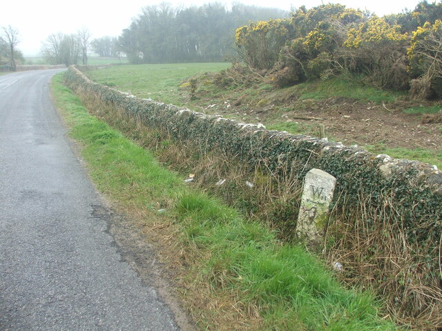
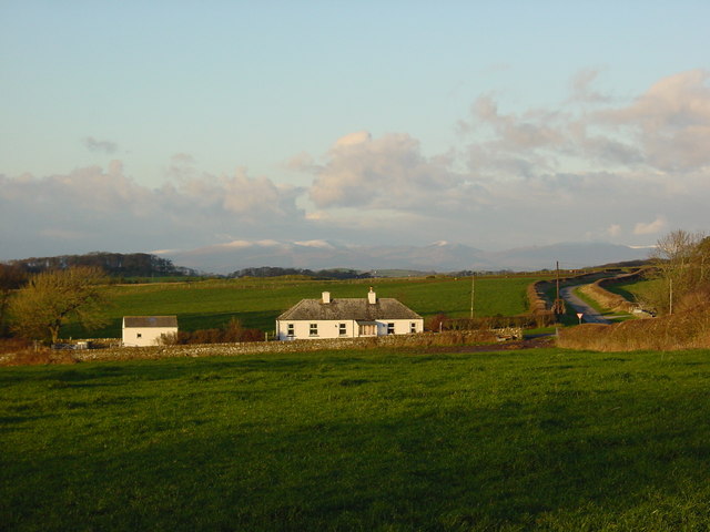
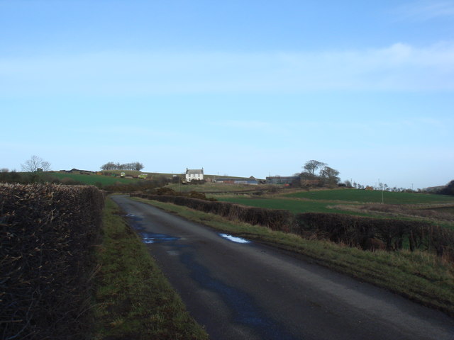
Glove Hill Plantation Images

Images are sourced within 2km of 54.76064/-4.4581426 or Grid Reference NX4143. Thanks to Geograph Open Source API. All images are credited.

Old milestone This milestone is just north of the entrance to Broadwigg Farm which is on opposite side of the A746.  Some dead grass tampled down but another milestone that needs a scrub down.
Old milestone
This milestone is just north of the entrance to Broadwigg Farm which is on opposite side of the A746. Some dead grass tampled down but another milestone that needs a scrub down.
Old milestone The view southwards along the A746 shows the milestone near a gorse covered mound in the field behind the wall.
Old milestone
The view southwards along the A746 shows the milestone near a gorse covered mound in the field behind the wall.
Crossroads at Craig Cottages, with Southern Uplands in background
Drumrae
Drumrae
Ravenstone Lodge & drive to Ravenstone Castle
Ravenstone Mains
Ravenstone Mains
Moss Park - home of The Swallow Theatre Tiny theatre <span class="nowrap"><a title="www.swallowtheatre.com" rel="nofollow ugc noopener" href="http://www.swallowtheatre.com">Link</a><img style="margin-left:2px;" alt="External link" title="External link - shift click to open in new window" src="https://s1.geograph.org.uk/img/external.png" width="10" height="10"/></span> seating about 45 with stage lighting powered by renewables - wind turbine & solar panels.
Moss Park - home of The Swallow Theatre
Tiny theatre LinkExternal link seating about 45 with stage lighting powered by renewables - wind turbine & solar panels.
Bridgehouse Farm
Bridgehouse Farm
Minor Road Leading to Grennan Farm
Road Junction
Road Junction
Bailliewhirr Farm Road
Broadwigg Farm Haylage and silage time at Broadwigg Farm near Whithorn.
Broadwigg Farm
Haylage and silage time at Broadwigg Farm near Whithorn.
Castlewigg Lodge and Caravan Park Castlewigg Holiday Caravan Park stands on the A746 Wigtown-Whithorn road. Castlewigg Lodge (formerly Castlewigg Hotel) is now a B&B.
Castlewigg Lodge and Caravan Park
Castlewigg Holiday Caravan Park stands on the A746 Wigtown-Whithorn road. Castlewigg Lodge (formerly Castlewigg Hotel) is now a B&B.
Whithorn Lodge, Castlewigg Lodge at Castlewigg Farm entrance carries the name Whithorn Lodge as it was originally the Whithorn Road entrance into the former Castlewigg Estate.
Whithorn Lodge, Castlewigg
Lodge at Castlewigg Farm entrance carries the name Whithorn Lodge as it was originally the Whithorn Road entrance into the former Castlewigg Estate.
Castlewigg House (Modern) View along Castlewigg Farm road of the modern Castlewigg House. The track to the left leads to Glove Hill Lodge at the western end of the former Castlewigg Estate.
Castlewigg House (Modern)
View along Castlewigg Farm road of the modern Castlewigg House. The track to the left leads to Glove Hill Lodge at the western end of the former Castlewigg Estate.
Castlewigg House & Tower Frontage of Castlewigg House (1800); it incorporated the original C16 Castle Wigg tower house at the rear. The mansion and tower were gutted and made roofless in 1954 – today it stands looking very neglected and tired (excuse pun) in the grounds of Castlewigg Farm. Slight remains around the mansion of a John Claudius Loudon gardens.
Castlewigg House & Tower
Frontage of Castlewigg House (1800); it incorporated the original C16 Castle Wigg tower house at the rear. The mansion and tower were gutted and made roofless in 1954 – today it stands looking very neglected and tired (excuse pun) in the grounds of Castlewigg Farm. Slight remains around the mansion of a John Claudius Loudon gardens.
Castlewigg Tower South-east corner of Castlewigg House (1800) showing remains (at rear) of the original C16 Castle Wigg tower house. Mansion and tower both gutted and roofless since 1954. See also <a href="https://www.geograph.org.uk/photo/818708">NX4243 : Castlewigg House & Tower</a>.
Castlewigg Tower
South-east corner of Castlewigg House (1800) showing remains (at rear) of the original C16 Castle Wigg tower house. Mansion and tower both gutted and roofless since 1954. See also NX4243 : Castlewigg House & Tower.
Show me another place!

Glove Hill Plantation is located at Grid Ref: NX4143 (Lat: 54.76064, Lng: -4.4581426)

Unitary Authority: Dumfries and Galloway

Police Authority: Dumfries and Galloway

What 3 Words

///shot.umbrellas.promise. Near Whithorn, Dumfries & Galloway
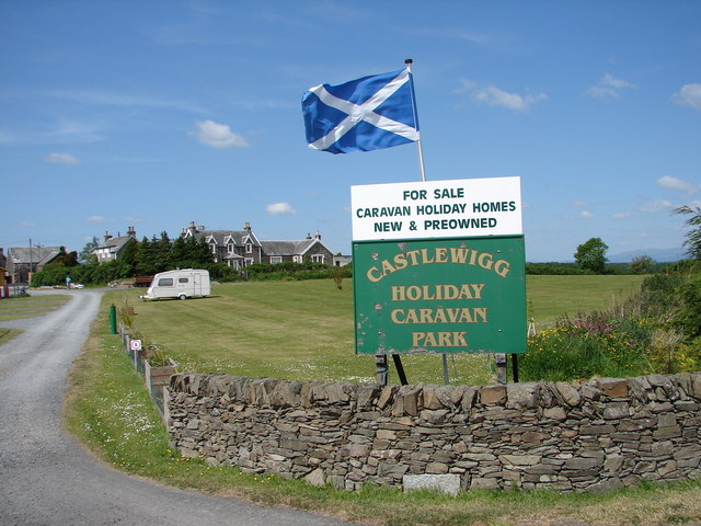
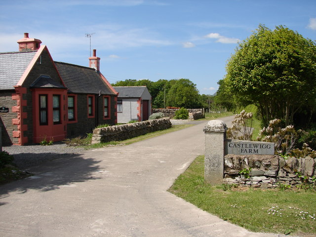
Related Wikis

Rispain Camp

Rispain Camp is the remains of a fortified farmstead 1 mile west of Whithorn, Dumfries and Galloway, Scotland. It is one of the major Iron Age archaeological...

Broughton Skeog railway station

Broughton Skeog (NX4554444071) was a railway station that was located near level crossing gates over a minor road on the Wigtownshire Railway branch line...

Whithorn railway station

Whithorn is the closed terminus of the Wigtownshire Railway branch, from Newton Stewart, of the Portpatrick and Wigtownshire Joint Railway. It served...

Sorbie

Sorbie (Scottish Gaelic: Soirbidh) is a small village in Wigtownshire, Machars, within the Administration area of Dumfries and Galloway Council, Scotland...

Whithorn

Whithorn (Scots pronunciation: [ˈʍɪthorn], Taigh Mhàrtainn in modern Gaelic), is a royal burgh in the historic county of Wigtownshire in Dumfries and Galloway...

Whithorn Priory

Whithorn Priory was a medieval Scottish monastery that also served as a cathedral, located at 6 Bruce Street in Whithorn, Wigtownshire, Dumfries and Galloway...

Candida Casa

Candida Casa was the name given to the church established by St Ninian in Whithorn, Galloway, southern Scotland, in the mid fifth century AD. The name...

Sorbie railway station

Sorbie (NX4351447562) was a railway station that was located close to the village of Sorbie on the then Wigtownshire Railway branch line to Whithorn, from...

Nearby Amenities

Located within 500m of 54.76064,-4.4581426
Moss Park
Place: hamlet
Lat/Long: 54.7617814/-4.4622556
Power: pole
Lat/Long: 54.7573804/-4.4634741
Power: pole
Lat/Long: 54.7580986/-4.4638778
Power: pole
Lat/Long: 54.7587474/-4.4642518
Power: pole
Lat/Long: 54.75939/-4.4646661
Power: pole
Lat/Long: 54.7600436/-4.4650866
Power: pole
Lat/Long: 54.7608484/-4.4652599
Power: pole
Lat/Long: 54.7616434/-4.4654226
Power: pole
Lat/Long: 54.7617257/-4.4641841
Power: pole
Lat/Long: 54.7618144/-4.4627048
The data included in this document is from www.openstreetmap.org. The data is made available under ODbL.

Have you been to Glove Hill Plantation?

Leave your review of Glove Hill Plantation below (or comments, questions and feedback).