Capel Bangor

Settlement in Cardiganshire

Wales

Capel Bangor

Pwllcenawon: Capel Seion Gathering grass, with kites wheeling overhead. From the Vale of Rheidol railway.
Pwllcenawon: Capel Seion Credit: Dylan Moore

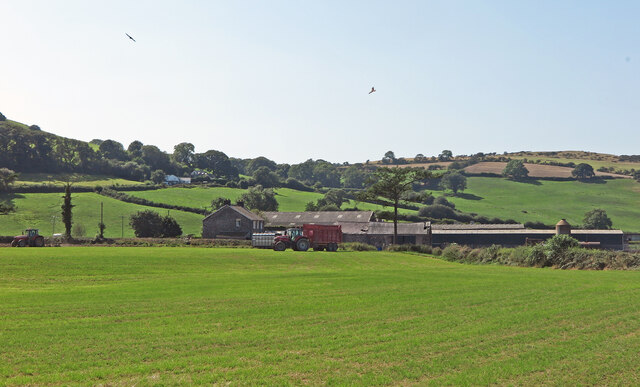
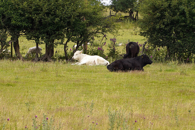
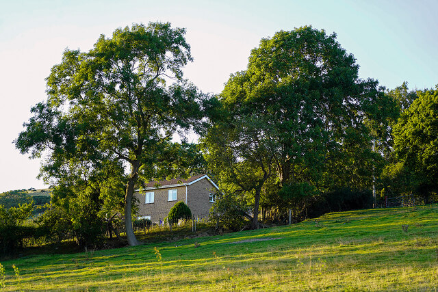
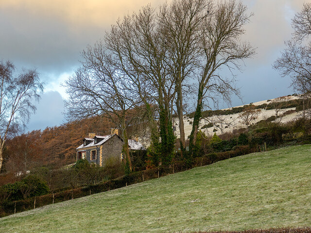
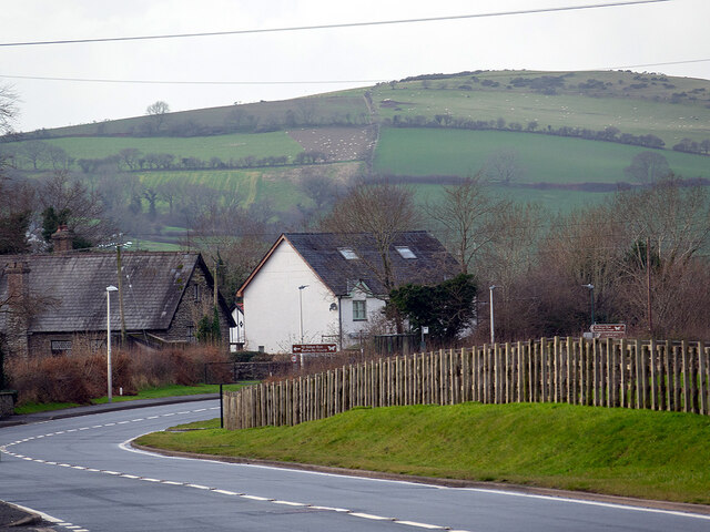
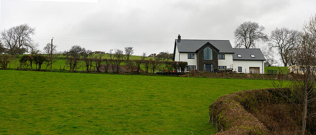
Capel Bangor is a small village located in the county of Cardiganshire, Wales. Situated approximately 8 miles south-east of Aberystwyth, it is nestled in the scenic countryside of the Ceredigion region. The village is surrounded by lush green fields, rolling hills, and woodlands, making it an idyllic rural setting.

Capel Bangor is well-known for its picturesque landscape and is popular with nature enthusiasts and outdoor lovers. The nearby Cambrian Mountains provide ample opportunities for hiking, cycling, and birdwatching, while the nearby Nant-y-Moch Reservoir offers fishing and water sports activities.

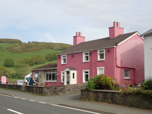
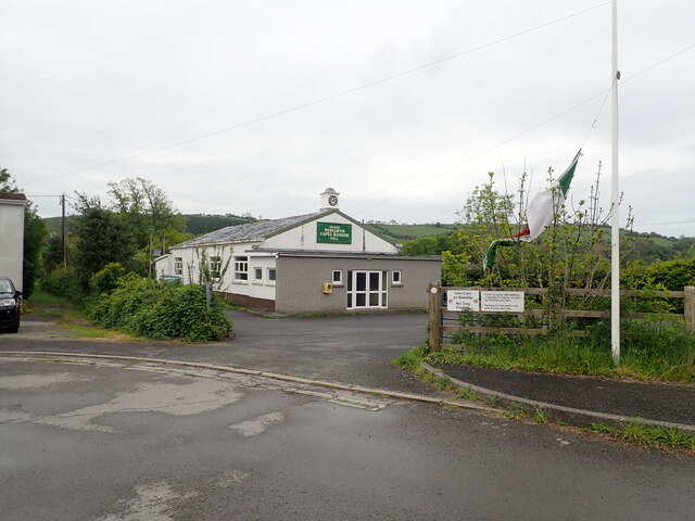
The village itself is small but charming, with a close-knit community. It features a handful of amenities, including a local pub, a post office, and a primary school. The local economy is predominantly based on agriculture and tourism, with many visitors attracted to the area's natural beauty and tranquility.

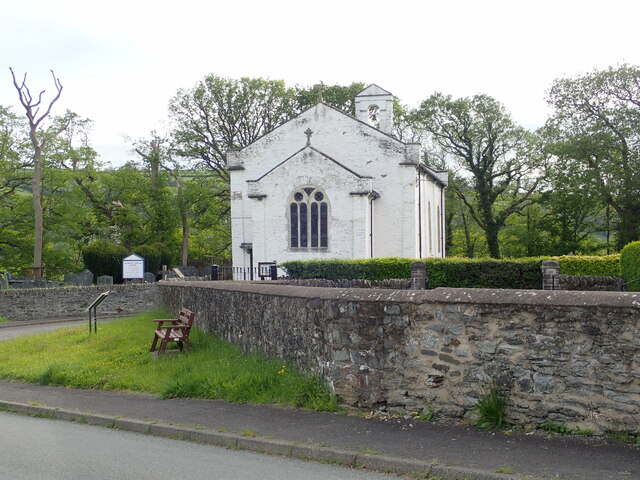
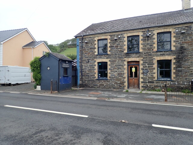
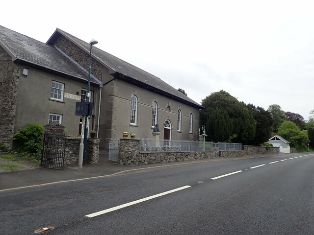
Historically, Capel Bangor was named after its chapel, which was built in the early 19th century and served as a focal point for the community. Today, the chapel still stands and remains an important landmark in the village.

Despite its rural setting, Capel Bangor benefits from its proximity to Aberystwyth, a vibrant university town. This allows residents to access a wider range of amenities, including shops, restaurants, and entertainment options.

In summary, Capel Bangor is a peaceful and picturesque village in Cardiganshire, Wales. With its stunning natural surroundings and close-knit community, it offers a tranquil retreat for residents and visitors alike.

If you have any feedback on the listing, please let us know in the comments section below.

Capel Bangor Images

Images are sourced within 2km of 52.402712/-3.976235 or Grid Reference SN6580. Thanks to Geograph Open Source API. All images are credited.

Pwllcenawon: Capel Seion Gathering grass, with kites wheeling overhead. From the Vale of Rheidol railway.
Pwllcenawon: Capel Seion
Gathering grass, with kites wheeling overhead. From the Vale of Rheidol railway.
Pwllcenawon: Capel Seion
Pretty in pink! Tafarn y Maes, Capel Bangor.
Pretty in pink!
Tafarn y Maes, Capel Bangor.
Eglwys Dewi Sant/St David's Church All services are bilingual here
Eglwys Dewi Sant/St David's Church
All services are bilingual here
Neuadd Penllwyn, Capel Bangor Village hall
Neuadd Penllwyn, Capel Bangor
Village hall
Tynllidiart Arms and attached Bragdy Gwynant The brewhouse, in the blue shed, laid claim to being the smallest brewery in the world. Both brewery and pub were closed at this time.
Tynllidiart Arms and attached Bragdy Gwynant
The brewhouse, in the blue shed, laid claim to being the smallest brewery in the world. Both brewery and pub were closed at this time.
Capel Penllwyn, Penllwyn Built in 1850
Capel Penllwyn, Penllwyn
Built in 1850
Llwyniorwerth Uchaf Farm in the hills above Penllwyn
Llwyniorwerth Uchaf
Farm in the hills above Penllwyn
Tractor and trailer, Llwyniorwerth Uchaf
Penlon Cottages
Penlon Cottages
Farmland in the hills north of Capel Bangor
View from Vale of Rheidol railway to Cwmwythig The view is taken from a Vale of Rheidol train and looks across the Rheidol valley towards Cwmwythig Farm, Capel Bangor near Aberystwyth.
View from Vale of Rheidol railway to Cwmwythig
The view is taken from a Vale of Rheidol train and looks across the Rheidol valley towards Cwmwythig Farm, Capel Bangor near Aberystwyth.
Relaxing at the Fron Young bulls, possibly steers, relaxing in the field at Fron Farm, Capel Bangor.
Relaxing at the Fron
Young bulls, possibly steers, relaxing in the field at Fron Farm, Capel Bangor.
Hay bales advertising the National Eisteddfod The 2022 event was held at Tregaron, July 30 - 6 August.
Hay bales advertising the National Eisteddfod
The 2022 event was held at Tregaron, July 30 - 6 August.
House on the hill in Capel Bangor Caught in evening sunshine.
House on the hill in Capel Bangor
Caught in evening sunshine.
House on the Hill Swyn Rheidol, Capel Bangor. With a smattering of snow in the fields behind.
House on the Hill
Swyn Rheidol, Capel Bangor. With a smattering of snow in the fields behind.
A quiet time on the A44 - New Year's Day With signs for the Cwm Rheidol Butterfly House being just visible.
A quiet time on the A44 - New Year's Day
With signs for the Cwm Rheidol Butterfly House being just visible.
New house at Fron Farm A self-build now almost complete.
New house at Fron Farm
A self-build now almost complete.
Show me another place!

Capel Bangor is located at Grid Ref: SN6580 (Lat: 52.402712, Lng: -3.976235)

Unitary Authority: Ceredigion

Police Authority: Dyfed Powys

What 3 Words

///newspaper.counters.interacts. Near Bow Street, Ceredigion

Related Wikis

Dol-y-pandy

Dol-y-pandy is a hamlet in the community of Melindwr, Ceredigion, Wales, which is 72.1 miles (116 km) from Cardiff and 174.9 miles (281.5 km) from London...

Maes-bangor

Maes-bangor is a hamlet in the community of Melindwr, Ceredigion, Wales, which is 72.2 miles (116.1 km) from Cardiff and 174.9 miles (281.4 km) from London...

Pen-llwyn

Pen-llwyn is a hamlet in the community of Melindwr, Ceredigion, Wales, which is 72.5 miles (116.7 km) from Cardiff and 175.4 miles (282.3 km) from London...

Capel Bangor

Capel Bangor (Welsh: Penllwyn) is a small village in Ceredigion, Wales, approximately 5 miles (8.0 km) east of Aberystwyth. The A44 road and the seasonal...

Capel Bangor railway station

Capel Bangor railway station is a railway station serving Capel Bangor in Ceredigion in Mid-Wales. It is an intermediate station on the preserved Vale...

Blaen-geuffordd

Blaen-geuffordd is a hamlet in the community of Melindwr, Ceredigion, Wales, which is 72.7 miles (117.1 km) from Cardiff and 175.8 miles (282.9 km) from...

Pant-y-crug

Pant-y-crug is a hamlet in the community of Melindwr, Ceredigion, Wales, which is 71.5 miles (115 km) from Cardiff and 175 miles (281.6 km) from London...

Afon Rheidol

The Afon Rheidol ("river Rheidol") is a river in Ceredigion, Wales, 19 miles (31 km) in length. The source is Plynlimon. Receiving an average annual rainfall...

Nearby Amenities

Located within 500m of 52.402712,-3.976235
Dol-y-pandy
Is In: Ceredigion, Wales, UK
Place: hamlet
Source: npe
Wikidata: Q16246335
Lat/Long: 52.4016789/-3.9711268
Post Box
Ref: SY23 149
Lat/Long: 52.4046134/-3.9825994
Turning Circle
Lat/Long: 52.4022193/-3.9694657
Post Box
Post Box Type: lamp
Ref: SY23 17
Royal Cypher: EIIR
Royal Cypher Wikidata: Q33102113
Lat/Long: 52.4031762/-3.9715108
Pub
Tynllidiart Arms
Addr City: Aberystwyth
Addr Housename: Tynllidiart Arms
Addr Postcode: SY23 3LR
Addr Street: Capel Bangor
Website: http://www.tynllidiartarms.com/
Wikidata: Q80581993
Lat/Long: 52.4036089/-3.9772436
Fixme: where does public footpath go?
Lat/Long: 52.4008653/-3.975996
Bus Stop
Capel Bangor Post Office
Naptan AtcoCode: 5230CGX16192
Naptan NaptanCode: cejdjpw
Public Transport: platform
Lat/Long: 52.4044526/-3.9830198
Turning Loop
Lat/Long: 52.4041778/-3.9815635
Direction: 145
Generator Method: photovoltaic
Generator Output Electricity: yes
Generator Solar Modules: 14
Generator Source: solar
Generator Type: solar_photovoltaic_panel
Location: roof
Power: generator
Lat/Long: 52.4011383/-3.9729054
Direction: 145
Generator Method: photovoltaic
Generator Output Electricity: yes
Generator Solar Modules: 14
Generator Source: solar
Generator Type: solar_photovoltaic_panel
Location: roof
Power: generator
Lat/Long: 52.4016898/-3.9713994
Direction: S
Generator Method: photovoltaic
Generator Output Electricity: yes
Generator Solar Modules: 20
Generator Source: solar
Generator Type: solar_photovoltaic_panel
Location: roof
Power: generator
Lat/Long: 52.4041927/-3.973352
Direction: S
Generator Method: photovoltaic
Generator Output Electricity: yes
Generator Solar Modules: 16
Generator Source: solar
Generator Type: solar_photovoltaic_panel
Location: roof
Power: generator
Lat/Long: 52.404088/-3.9738992
Shelter
Shelter Type: public_transport
Lat/Long: 52.4031804/-3.971452
The data included in this document is from www.openstreetmap.org. The data is made available under ODbL.

Have you been to Capel Bangor?

Leave your review of Capel Bangor below (or comments, questions and feedback).