The Linn Glen Wood

Wood, Forest in Renfrewshire

Scotland

The Linn Glen Wood

Uplawmoor Hotel
Uplawmoor Hotel Credit: Josie Campbell

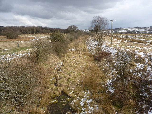
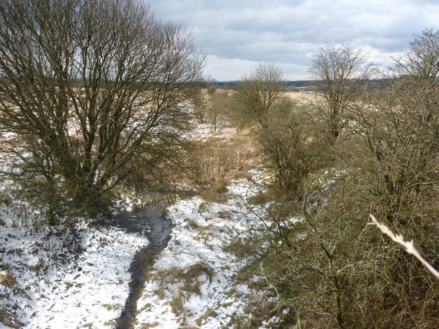
The Linn Glen Wood, located in Renfrewshire, Scotland, is a picturesque woodland area that spans over 76 hectares. It is situated in the heart of the Gleniffer Braes Country Park, which is popular for its stunning natural beauty and diverse wildlife. The Linn Glen Wood is characterized by its rich biodiversity and tranquil atmosphere, making it a favored destination for nature enthusiasts and those seeking a peaceful retreat.

The wood is primarily composed of native tree species, including oak, birch, and rowan, which create a dense canopy that provides shade and shelter for the various wildlife species that inhabit the area. The wood is also home to a variety of bird species, such as woodpeckers, owls, and various songbirds, making it a haven for birdwatchers.

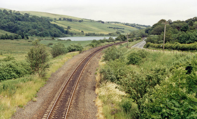
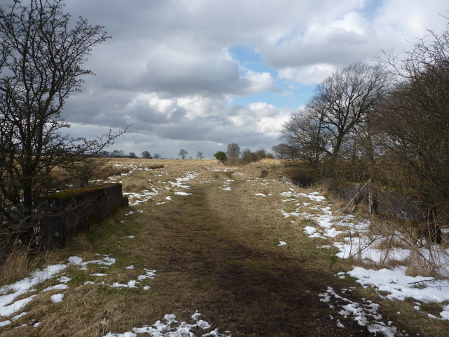
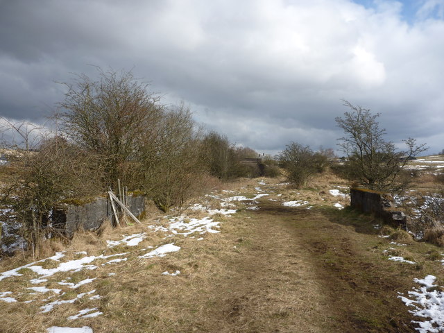
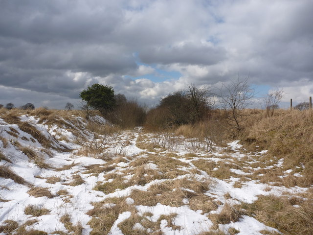
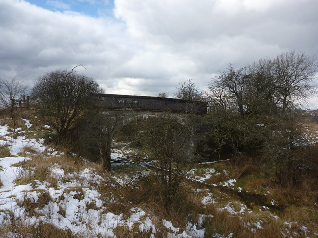
The Linn Glen Wood is traversed by a network of well-maintained walking paths, allowing visitors to explore the area and discover its hidden gems. One of the highlights of the wood is the Linn Waterfall, a stunning cascade that adds to the natural beauty of the surroundings.

In addition to its natural attractions, The Linn Glen Wood also offers recreational activities, including picnicking, cycling, and horse riding. The wood is easily accessible from nearby towns and cities, making it a popular destination for both locals and tourists.

Overall, The Linn Glen Wood is a captivating woodland area that offers a serene escape from the hustle and bustle of everyday life. Its natural beauty, diverse wildlife, and various recreational opportunities make it a must-visit destination for nature lovers and outdoor enthusiasts.

If you have any feedback on the listing, please let us know in the comments section below.

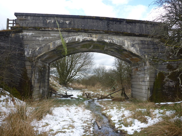
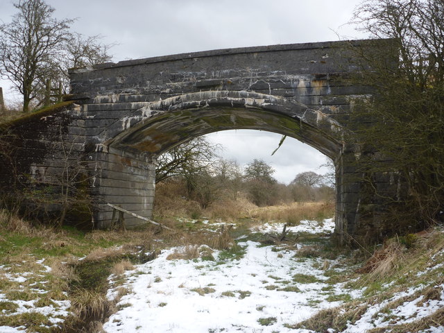
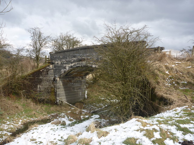
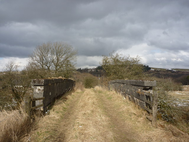
The Linn Glen Wood Images

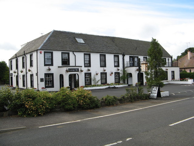
Images are sourced within 2km of 55.761743/-4.5237773 or Grid Reference NS4154. Thanks to Geograph Open Source API. All images are credited.

Uplawmoor Hotel
Uplawmoor Hotel
Uplawmoor Hotel Side view of reception area
Uplawmoor Hotel
Side view of reception area
Uplawmoor Hotel The restaurant
Uplawmoor Hotel
The restaurant
Northern East Ayrshire : Spunkie Cottage near Uplawmoor
Site of Caldwell - later Uplawmoor, station This is the former Glasgow, Barrhead & Kilmarnock (later Glasgow & South-Western) line from Glasgow St Enoch, later from Glasgow Central - and by 1986 single-track, to Kilmarnock and Carlisle. Until 2/4/62 Caldwell was named 'Uplawmoor'; it was closed on 7/11/66 - after having been portrayed on TV as 'Tannochbrae' in 'Dr Finlay's Casebook'. The water ahead is Loch Libo.
Site of Caldwell - later Uplawmoor, station
This is the former Glasgow, Barrhead & Kilmarnock (later Glasgow & South-Western) line from Glasgow St Enoch, later from Glasgow Central - and by 1986 single-track, to Kilmarnock and Carlisle. Until 2/4/62 Caldwell was named 'Uplawmoor'; it was closed on 7/11/66 - after having been portrayed on TV as 'Tannochbrae' in 'Dr Finlay's Casebook'. The water ahead is Loch Libo.
Rural East Renfrewshire : Tannoch Road Railway Bridge, Uplawmoor Station This bridge, at the southern end of the derelict platforms of the long-closed Uplawmoor station, carries Tannoch Road over the former Caledonian Railway line from Glasgow and Lanarkshire to the Ayrshire port of Ardrossan.
Rural East Renfrewshire : Tannoch Road Railway Bridge, Uplawmoor Station
This bridge, at the southern end of the derelict platforms of the long-closed Uplawmoor station, carries Tannoch Road over the former Caledonian Railway line from Glasgow and Lanarkshire to the Ayrshire port of Ardrossan.
Rural East Renfrewshire : South From Uplawmoor Station Standing underneath the Tannoch Road bridge, looking SW along the trackbed of the ex-Caledonian Railway line from Glasgow and Lanarkshire to the Ayrshire port of Ardrossan.
Rural East Renfrewshire : South From Uplawmoor Station
Standing underneath the Tannoch Road bridge, looking SW along the trackbed of the ex-Caledonian Railway line from Glasgow and Lanarkshire to the Ayrshire port of Ardrossan.
Rural East Renfrewshire : Tannoch Road Bridge and Uplawmoor Station Standing on the trackbed of the former Caledonian Railway line to Ardrossan, looking under the Tannoch Road bridge to the platform ends of the long demolished station at Uplawmoor.
Rural East Renfrewshire : Tannoch Road Bridge and Uplawmoor Station
Standing on the trackbed of the former Caledonian Railway line to Ardrossan, looking under the Tannoch Road bridge to the platform ends of the long demolished station at Uplawmoor.
Northern East Ayrshire : Small Parapets South of Uplawmoor Heading southwest from Uplawmoor on the old Caledonian Railway line.
Northern East Ayrshire : Small Parapets South of Uplawmoor
Heading southwest from Uplawmoor on the old Caledonian Railway line.
Northern East Ayrshire : Approaching The Boundary The narrow stream that flows under the trackbed between those parapets forms the boundary between East Ayrshire and East Renfrewshire.

The bridge in the distance is at the old Uplawmoor station in East Renfrewshire.
Northern East Ayrshire : Approaching The Boundary
The narrow stream that flows under the trackbed between those parapets forms the boundary between East Ayrshire and East Renfrewshire. The bridge in the distance is at the old Uplawmoor station in East Renfrewshire.
Northern East Ayrshire : Caledonian Railway Trackbed South of Uplawmoor This was the CR line from Lanarkshire to Ardrossan.
Northern East Ayrshire : Caledonian Railway Trackbed South of Uplawmoor
This was the CR line from Lanarkshire to Ardrossan.
Northern East Ayrshire : Pollick Farm Bridge near Uplawmoor This bridge carries a farm track over the trackbed of the former Caledonian Railway line from Lanarkshire to Ardrossan.
Northern East Ayrshire : Pollick Farm Bridge near Uplawmoor
This bridge carries a farm track over the trackbed of the former Caledonian Railway line from Lanarkshire to Ardrossan.
Northern East Ayrshire : Pollick Farm Bridge (Looking SW) On the old Caledonian Railway line to Ardrossan.
Northern East Ayrshire : Pollick Farm Bridge (Looking SW)
On the old Caledonian Railway line to Ardrossan.
Northern East Ayrshire : Pollick Farm Bridge (looking NE) On the Caledonian Railway line from Ardrossan to Lanarkshire.
Northern East Ayrshire : Pollick Farm Bridge (looking NE)
On the Caledonian Railway line from Ardrossan to Lanarkshire.
Northern East Ayrshire : Pollick Farm Bridge (looking north) This bridge carries a farm track over the former Caledonian Railway line from Ardrossan to Lanarkshire.
Northern East Ayrshire : Pollick Farm Bridge (looking north)
This bridge carries a farm track over the former Caledonian Railway line from Ardrossan to Lanarkshire.
Northern East Ayrshire : Crossing The Pollick Farm Bridge This bridge crosses the former Caledonian Railway Lanarkshire-Ardrossan line.
Northern East Ayrshire : Crossing The Pollick Farm Bridge
This bridge crosses the former Caledonian Railway Lanarkshire-Ardrossan line.
Northern East Ayrshire : View NE From Pollick Farm Bridge A view of the former Caledonian Railway line from Ardrossan to Glasgow.
Northern East Ayrshire : View NE From Pollick Farm Bridge
A view of the former Caledonian Railway line from Ardrossan to Glasgow.
Northern East Ayrshire : Looking SW From Pollick Farm Bridge A view of the trackbed of the former Caledonian Railway line from Lanarkshire to Ardrossan.
Northern East Ayrshire : Looking SW From Pollick Farm Bridge
A view of the trackbed of the former Caledonian Railway line from Lanarkshire to Ardrossan.
Show me another place!

The Linn Glen Wood is located at Grid Ref: NS4154 (Lat: 55.761743, Lng: -4.5237773)

Unitary Authority: East Renfrewshire

Police Authority: Greater Glasgow

What 3 Words

///octagon.move.cucumber. Near Dunlop, East Ayrshire

Related Wikis

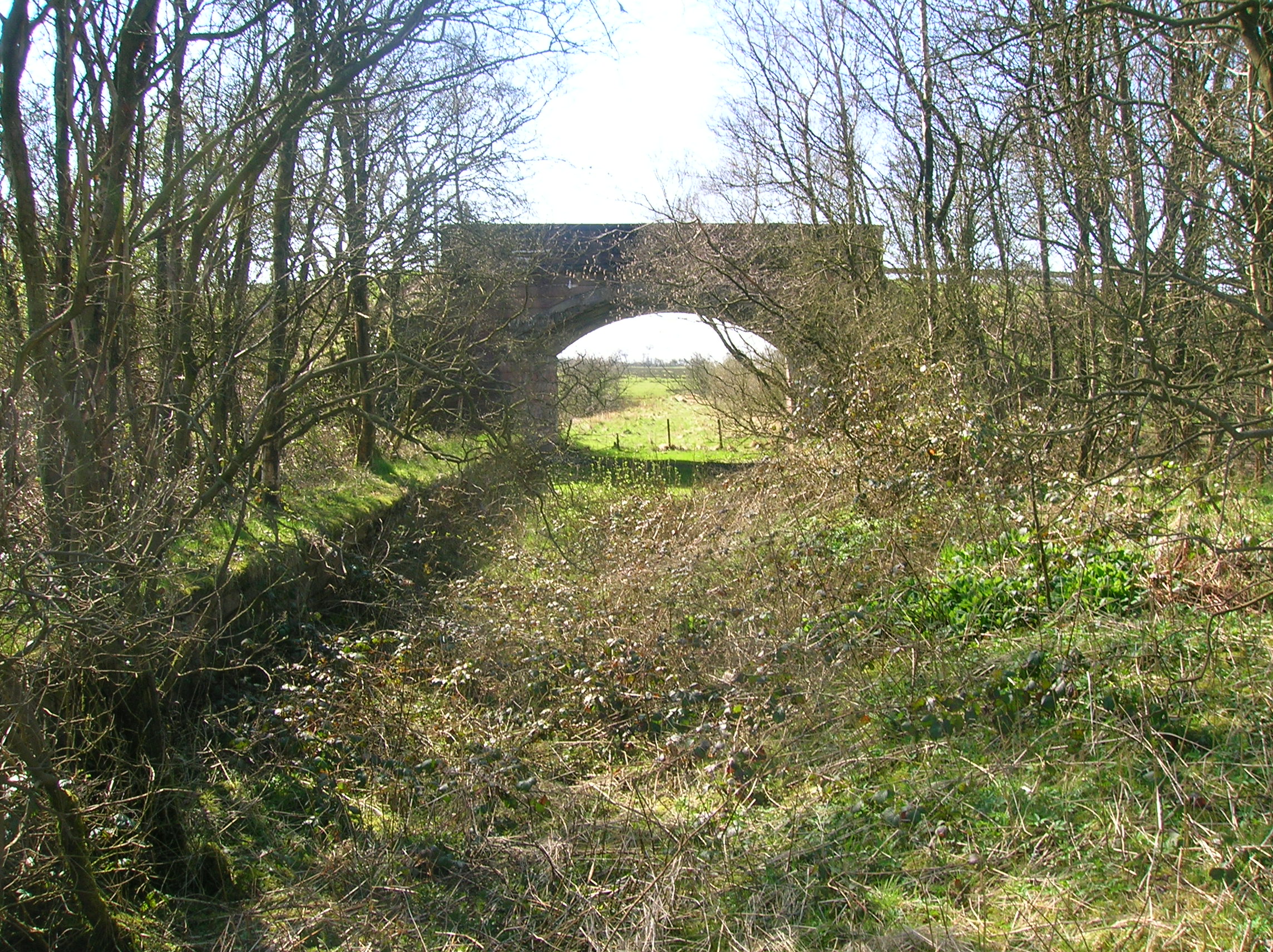
Caldwell, East Renfrewshire

Caldwell is a mansion and old estate with the remains of a castle nearby. These lands lie close to the Lugton Water and the villages of Uplawmoor in East...

Uplawmoor (GB&K) railway station

Uplawmoor railway station was a railway station near the village of Uplawmoor, East Renfrewshire, Scotland. The station was originally part of the Glasgow...

Uplawmoor

Uplawmoor is a village in East Renfrewshire, Scotland. Its population was 700 as of 2016. Historic Uplawmoor, associated for centuries with the Barony...

Loch Libo

Loch Libo is a freshwater loch in East Renfrewshire, Parish of Neilston, Scotland. The Lugton Water has its source from the southern end of loch, running...
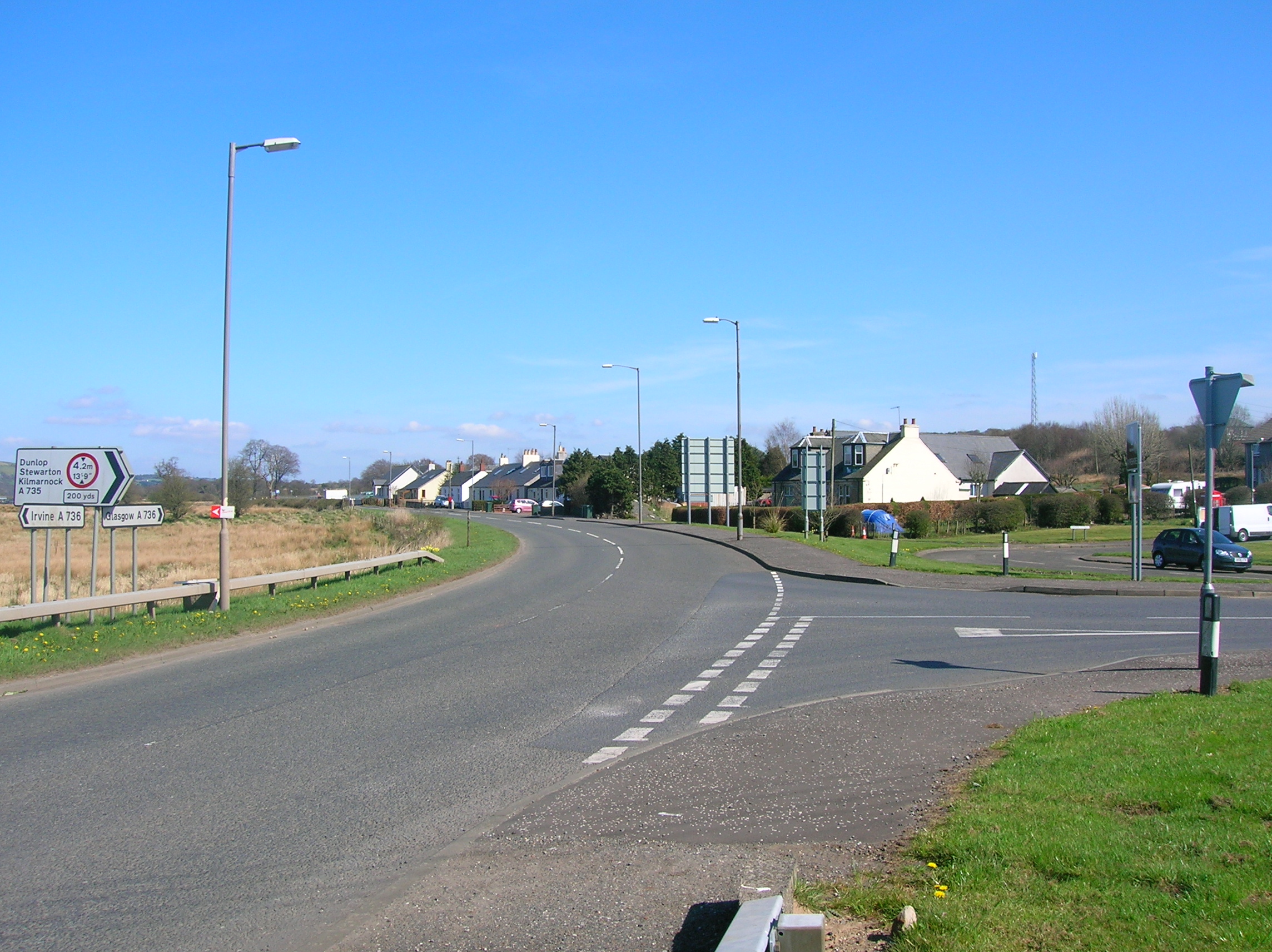
Lugton

Lugton is a small village or hamlet in East Ayrshire, Scotland with a population of 80 people. The A736 road runs through on its way from Glasgow, 15 miles...

Lugton railway station

Lugton railway station was a railway station serving the hamlet of Lugton, East Ayrshire, Scotland. The station was originally part of the Glasgow, Barrhead...

Uplawmoor (L&A) railway station

Uplawmoor railway station was a railway station serving the village of Uplawmoor, East Renfrewshire, Scotland as part of the Lanarkshire and Ayrshire Railway...

Lugton High railway station

Lugton High railway station was a railway station serving the hamlet of Lugton, East Ayrshire, Scotland as part of the Lanarkshire and Ayrshire Railway...

Nearby Amenities

Located within 500m of 55.761743,-4.5237773
Hall
Place: hamlet
Lat/Long: 55.7631887/-4.5283672
Ramshead
Place: locality
Lat/Long: 55.7579099/-4.5236454
Power: pole
Lat/Long: 55.7641037/-4.518181
Power: pole
Lat/Long: 55.7641694/-4.5196205
Power: pole
Lat/Long: 55.7642315/-4.5210495
Power: pole
Lat/Long: 55.7642983/-4.5224599
Power: pole
Lat/Long: 55.7643592/-4.523891
Power: pole
Lat/Long: 55.7644354/-4.5256117
Power: pole
Lat/Long: 55.7644893/-4.5269783
Power: pole
Lat/Long: 55.7645561/-4.5283615
Power: pole
Lat/Long: 55.7646147/-4.5297739
Power: pole
Lat/Long: 55.7638377/-4.5296469
Power: pole
Lat/Long: 55.7630489/-4.5295219
Power: pole
Lat/Long: 55.757507/-4.5262154
Power: pole
Lat/Long: 55.7575856/-4.5252408
Power: pole
Lat/Long: 55.7576408/-4.5244645
The data included in this document is from www.openstreetmap.org. The data is made available under ODbL.

Have you been to The Linn Glen Wood?

Leave your review of The Linn Glen Wood below (or comments, questions and feedback).