Bloody Moss Plantation

Wood, Forest in Wigtownshire

Scotland

Bloody Moss Plantation

Old milestone This milestone is just north of the entrance to Broadwigg Farm which is on opposite side of the A746.  Some dead grass tampled down but another milestone that needs a scrub down.
Old milestone Credit: Chris Minto

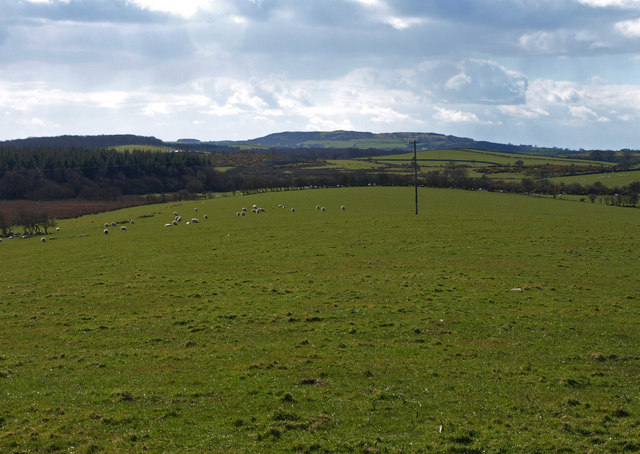
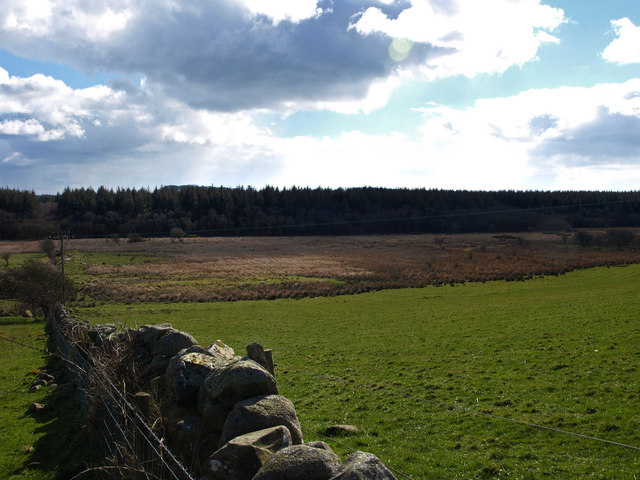
Bloody Moss Plantation is a dense wood located in the picturesque area of Wigtownshire, Scotland. Spanning over a considerable area, this ancient woodland is renowned for its rich history and captivating aura. The name, Bloody Moss, is believed to have originated from a historical event that occurred in the vicinity, although the exact details are somewhat debated.

The plantation is predominantly composed of native tree species, including oak, birch, and beech, creating a diverse and vibrant ecosystem. The woodland floor is covered with a thick carpet of moss, adding to its mystical charm. The dense foliage provides a habitat for various wildlife, such as red deer, foxes, badgers, and numerous bird species, making it a haven for nature enthusiasts and wildlife photographers.

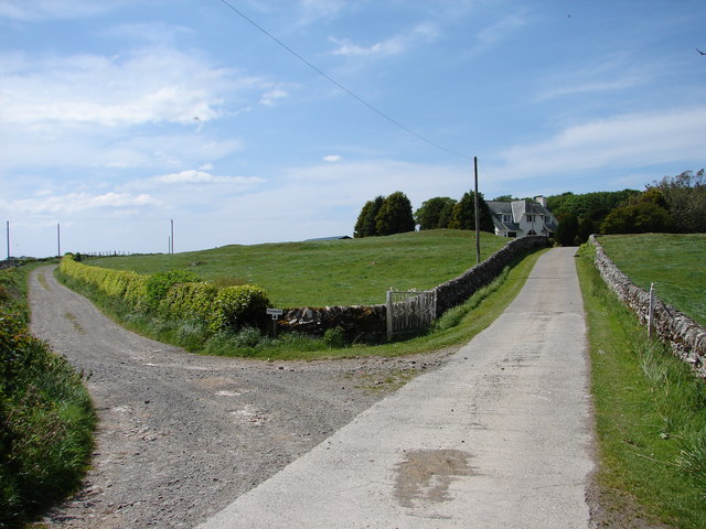
Visitors to Bloody Moss Plantation are greeted by an enchanting atmosphere, where the air is filled with the earthy scents of woodland and the gentle rustling of leaves. The intertwining paths within the wood offer an opportunity for exploration and discovery, with hidden treasures waiting to be found around every corner.

The plantation is also a popular destination for hikers and nature lovers, with several walking trails winding through its ancient trees. These trails provide stunning views of the surrounding landscape, including panoramic vistas of the rolling hills and distant coastline.

Bloody Moss Plantation stands as a testament to the enduring beauty and importance of Scotland's natural heritage. Its captivating history, diverse wildlife, and breathtaking scenery make it a must-visit destination for those seeking a truly immersive nature experience in Wigtownshire.

If you have any feedback on the listing, please let us know in the comments section below.

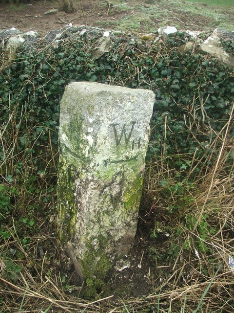
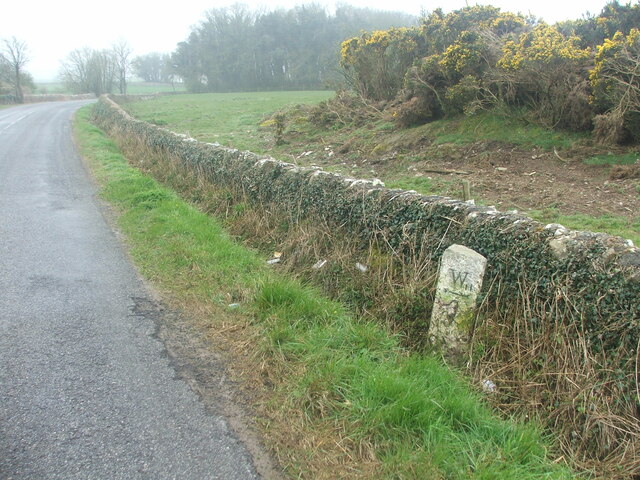
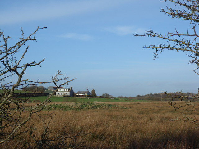
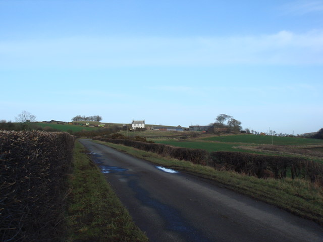
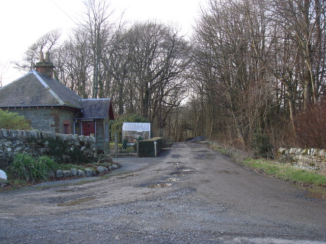
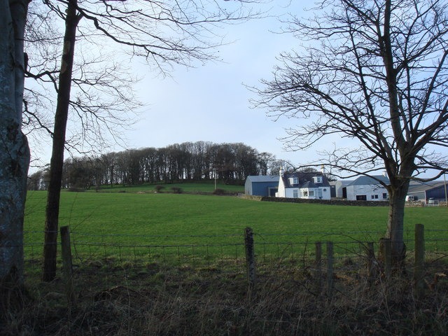
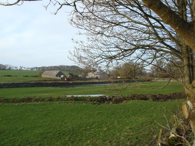
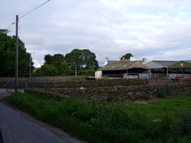
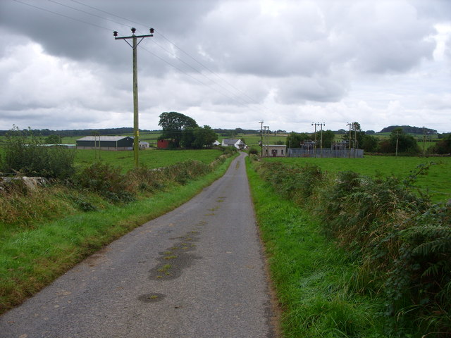
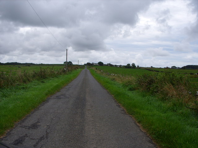
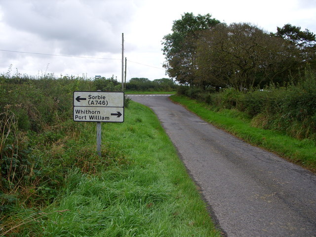
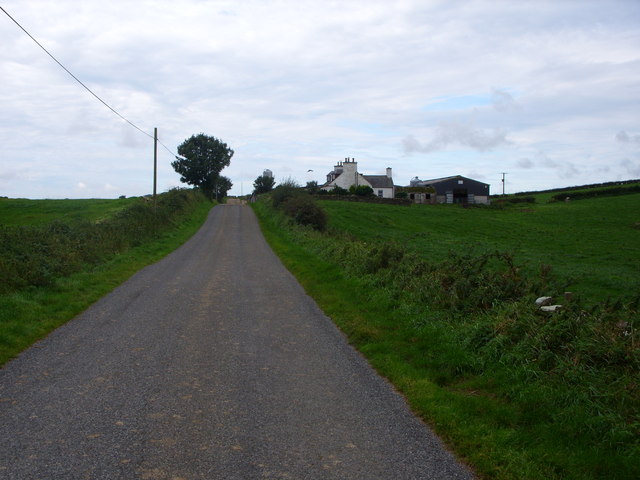
Bloody Moss Plantation Images

Images are sourced within 2km of 54.768046/-4.4639556 or Grid Reference NX4144. Thanks to Geograph Open Source API. All images are credited.

Old milestone This milestone is just north of the entrance to Broadwigg Farm which is on opposite side of the A746.  Some dead grass tampled down but another milestone that needs a scrub down.
Old milestone
This milestone is just north of the entrance to Broadwigg Farm which is on opposite side of the A746. Some dead grass tampled down but another milestone that needs a scrub down.
Old milestone The view southwards along the A746 shows the milestone near a gorse covered mound in the field behind the wall.
Old milestone
The view southwards along the A746 shows the milestone near a gorse covered mound in the field behind the wall.
Auchness
Auchness
Drumrae
Drumrae
Ravenstone Lodge & drive to Ravenstone Castle
Ravenstone Mains
Ravenstone Mains
Moss Park - home of The Swallow Theatre Tiny theatre <span class="nowrap"><a title="www.swallowtheatre.com" rel="nofollow ugc noopener" href="http://www.swallowtheatre.com">Link</a><img style="margin-left:2px;" alt="External link" title="External link - shift click to open in new window" src="https://s1.geograph.org.uk/img/external.png" width="10" height="10"/></span> seating about 45 with stage lighting powered by renewables - wind turbine & solar panels.
Moss Park - home of The Swallow Theatre
Tiny theatre LinkExternal link seating about 45 with stage lighting powered by renewables - wind turbine & solar panels.
Bridgehouse Farm
Bridgehouse Farm
West Culkae Farm
West Culkae Farm
Minor Road Leading to Grennan Farm
Road Junction
Road Junction
Low Barledziew Farm
Low Barledziew Farm
The southwest slope of Dowalton Hill In the distance is the Fell of Barhullion, crowned by a small hill fort.
The southwest slope of Dowalton Hill
In the distance is the Fell of Barhullion, crowned by a small hill fort.
Forestry on Grennan Moss From the southern slope of Dowalton Hill. Grennan (grianan) means a sunny spot - in Galloway the name used to indicate a place for drying peats.
Forestry on Grennan Moss
From the southern slope of Dowalton Hill. Grennan (grianan) means a sunny spot - in Galloway the name used to indicate a place for drying peats.
Castlewigg House (Modern) View along Castlewigg Farm road of the modern Castlewigg House. The track to the left leads to Glove Hill Lodge at the western end of the former Castlewigg Estate.
Castlewigg House (Modern)
View along Castlewigg Farm road of the modern Castlewigg House. The track to the left leads to Glove Hill Lodge at the western end of the former Castlewigg Estate.
Castlewigg House & Tower Frontage of Castlewigg House (1800); it incorporated the original C16 Castle Wigg tower house at the rear. The mansion and tower were gutted and made roofless in 1954 – today it stands looking very neglected and tired (excuse pun) in the grounds of Castlewigg Farm. Slight remains around the mansion of a John Claudius Loudon gardens.
Castlewigg House & Tower
Frontage of Castlewigg House (1800); it incorporated the original C16 Castle Wigg tower house at the rear. The mansion and tower were gutted and made roofless in 1954 – today it stands looking very neglected and tired (excuse pun) in the grounds of Castlewigg Farm. Slight remains around the mansion of a John Claudius Loudon gardens.
Castlewigg Tower South-east corner of Castlewigg House (1800) showing remains (at rear) of the original C16 Castle Wigg tower house. Mansion and tower both gutted and roofless since 1954. See also <a href="https://www.geograph.org.uk/photo/818708">NX4243 : Castlewigg House & Tower</a>.
Castlewigg Tower
South-east corner of Castlewigg House (1800) showing remains (at rear) of the original C16 Castle Wigg tower house. Mansion and tower both gutted and roofless since 1954. See also NX4243 : Castlewigg House & Tower.
Castlewigg House - North West North-west side of Castlewigg House (1800), the rear wing was attached to the original C16 Castle Wigg tower house. See also <a href="https://www.geograph.org.uk/photo/818708">NX4243 : Castlewigg House & Tower</a> <a href="https://www.geograph.org.uk/photo/818711">NX4243 : Castlewigg Tower</a>.
Castlewigg House - North West
North-west side of Castlewigg House (1800), the rear wing was attached to the original C16 Castle Wigg tower house. See also NX4243 : Castlewigg House & Tower NX4243 : Castlewigg Tower.
Show me another place!

Bloody Moss Plantation is located at Grid Ref: NX4144 (Lat: 54.768046, Lng: -4.4639556)

Unitary Authority: Dumfries and Galloway

Police Authority: Dumfries and Galloway

What 3 Words

///theme.moving.yummy. Near Whithorn, Dumfries & Galloway

Related Wikis

Sorbie

Sorbie (Scottish Gaelic: Soirbidh) is a small village in Wigtownshire, Machars, within the Administration area of Dumfries and Galloway Council, Scotland...

Whauphill

Whauphill is a small village located in the historical county of Wigtownshire in the Machars, Dumfries and Galloway, Scotland.Whauphill is a hub that supports...

Sorbie railway station

Sorbie (NX4351447562) was a railway station that was located close to the village of Sorbie on the then Wigtownshire Railway branch line to Whithorn, from...

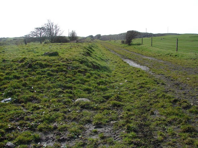
Broughton Skeog railway station

Broughton Skeog (NX4554444071) was a railway station that was located near level crossing gates over a minor road on the Wigtownshire Railway branch line...
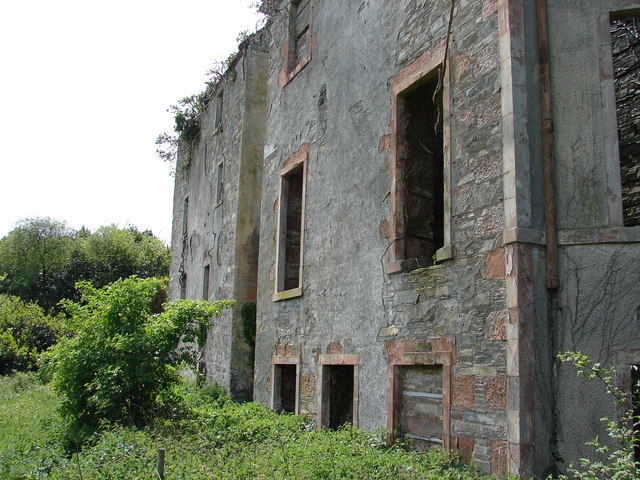
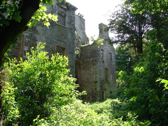
Sorbie Tower

Sorbie Tower is a fortified tower house 1 mile east of the village of Sorbie, Dumfries and Galloway, Scotland. The ancient seat of the Clan Hannay, it...

Whithorn railway station

Whithorn is the closed terminus of the Wigtownshire Railway branch, from Newton Stewart, of the Portpatrick and Wigtownshire Joint Railway. It served...

Rispain Camp

Rispain Camp is the remains of a fortified farmstead 1 mile west of Whithorn, Dumfries and Galloway, Scotland. It is one of the major Iron Age archaeological...

Whithorn

Whithorn (Scots pronunciation: [ˈʍɪthorn], Taigh Mhàrtainn in modern Gaelic), is a royal burgh in the historic county of Wigtownshire in Dumfries and Galloway...

Nearby Amenities

Located within 500m of 54.768046,-4.4639556
Power: pole
Lat/Long: 54.7640479/-4.4659298
Power: pole
Lat/Long: 54.7646588/-4.4660841
Power: pole
Lat/Long: 54.7652842/-4.4662088
Power: pole
Lat/Long: 54.7660182/-4.4663609
Power: pole
Lat/Long: 54.7667327/-4.4665025
Power: pole
Lat/Long: 54.7674008/-4.4666462
Power: pole
Lat/Long: 54.7681079/-4.4671154
Power: pole
Lat/Long: 54.7688186/-4.4675507
Power: pole
Lat/Long: 54.7695102/-4.4680068
Power: pole
Lat/Long: 54.7703474/-4.4685588
Power: pole
Lat/Long: 54.7712203/-4.4679206
Power: pole
Lat/Long: 54.7720746/-4.4672968
Power: pole
Lat/Long: 54.7639114/-4.4638482
Power: pole
Lat/Long: 54.763726/-4.4645033
Power: pole
Lat/Long: 54.7693234/-4.4689561
Power: pole
Lat/Long: 54.7691283/-4.470017
Power: pole
Lat/Long: 54.7689296/-4.47108
Power: pole
Lat/Long: 54.7714409/-4.4663187
Power: pole
Lat/Long: 54.7709399/-4.465522
Power: pole
Lat/Long: 54.7703645/-4.4646618
Power: pole
Lat/Long: 54.7697354/-4.463677
Power: pole
Lat/Long: 54.7693002/-4.4628359
Power: pole
Lat/Long: 54.7688772/-4.4620181
The data included in this document is from www.openstreetmap.org. The data is made available under ODbL.

Have you been to Bloody Moss Plantation?

Leave your review of Bloody Moss Plantation below (or comments, questions and feedback).