Fulton Wood

Wood, Forest in Renfrewshire

Scotland

Fulton Wood

JL. Smith Construction, Kilbarchan Road
JL. Smith Construction, Kilbarchan Road Credit: Alex McGregor

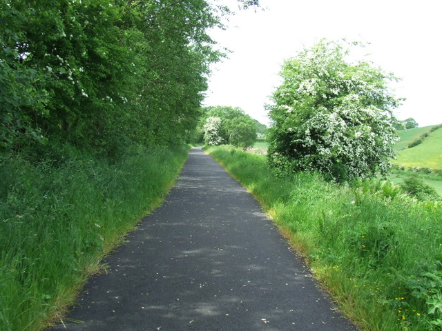
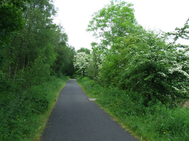
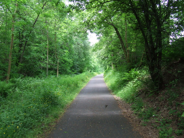
Fulton Wood is a picturesque forest located in Renfrewshire, Scotland. Spanning approximately 200 acres, it is a popular destination for nature enthusiasts, hikers, and wildlife lovers. The wood is situated near the town of Paisley and offers a tranquil escape from urban life.

Fulton Wood is predominantly composed of broadleaf trees, including oak, birch, and beech, with a dense undergrowth of ferns and wildflowers. This diverse habitat supports a wide range of wildlife, including various bird species, small mammals, and insects. It is not uncommon to spot red squirrels scurrying between the trees or hear the melodious songs of woodland birds.

The wood features several well-maintained trails that wind through the trees, providing visitors with the opportunity to explore its natural beauty. These paths are suitable for all levels of fitness and offer stunning views of the surrounding landscape. Additionally, there are designated picnic areas and benches throughout the wood, allowing visitors to relax and enjoy a peaceful meal amidst the serene surroundings.

Fulton Wood is managed by the local council, ensuring its preservation and accessibility for future generations. The wood is open to the public throughout the year, with no admission fees. It is a popular spot for families, dog walkers, and individuals seeking a peaceful retreat in nature.

Overall, Fulton Wood in Renfrewshire is a captivating forest that offers a unique blend of natural beauty, wildlife, and recreational opportunities. Its accessibility and diverse ecosystem make it an ideal destination for anyone looking to escape the hustle and bustle of everyday life and immerse themselves in the tranquility of nature.

If you have any feedback on the listing, please let us know in the comments section below.
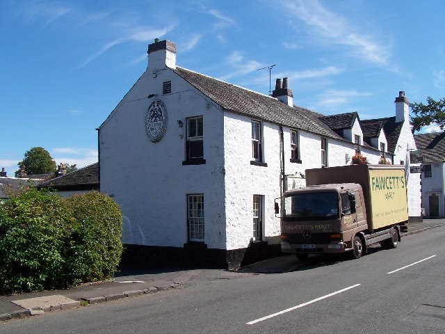
Fulton Wood Images

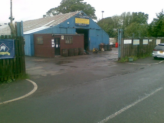
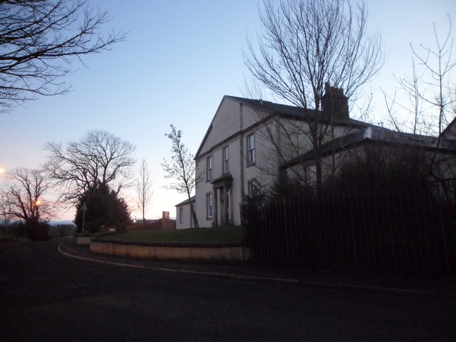
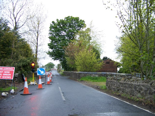
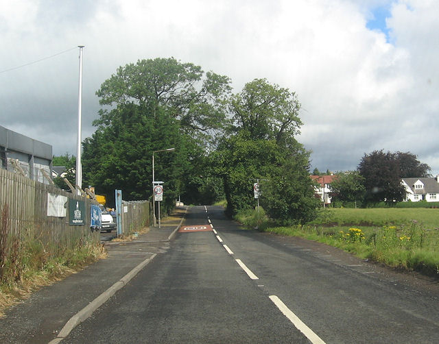
Images are sourced within 2km of 55.857045/-4.5355327 or Grid Reference NS4165. Thanks to Geograph Open Source API. All images are credited.

JL. Smith Construction, Kilbarchan Road
House on Kilbarchan Road On the outskirts of Bridge of Weir.
House on Kilbarchan Road
On the outskirts of Bridge of Weir.
Road works on Kilbarchan Road approaching Bridge of Weir
Kilbarchan Road entering Bridge of Weir
National Cycle Network Route 75 Between Crosslee Road and Bridge of Weir.
National Cycle Network Route 75
Between Crosslee Road and Bridge of Weir.
National Cycle Network Route 75 Heading west towards Bridge of Weir.
National Cycle Network Route 75
Heading west towards Bridge of Weir.
National Cycle Network Route 75 Heading west towards Bridge of Weir.
National Cycle Network Route 75
Heading west towards Bridge of Weir.
J L Smith Contractors Ltd, Bridge of Weir Business premises on Kilbarchan Road
J L Smith Contractors Ltd, Bridge of Weir
Business premises on Kilbarchan Road
Ranfurly, bridge over Locher Water
White fields near Ranfurly The A761 runs along the bottom of this field to Bridge of Weir. The farm above the next field is Coalbog. With the expanding village of Crosslee to the left of Coalbeg. The hills in the distance are the Kilpatrick Hills left and the Campsie Hills centre.
White fields near Ranfurly
The A761 runs along the bottom of this field to Bridge of Weir. The farm above the next field is Coalbog. With the expanding village of Crosslee to the left of Coalbeg. The hills in the distance are the Kilpatrick Hills left and the Campsie Hills centre.
Crosslee Road, Ranfurly Looking towards Glasgow in the far distance. The A761 at the bottom of field leading to bridge of Weir.
Crosslee Road, Ranfurly
Looking towards Glasgow in the far distance. The A761 at the bottom of field leading to bridge of Weir.
Bridge of Weir Railway Approaching Bridge of Weir on what was once its commuter railway into Glasgow.
The trackbed of the railway is now a cycle path (NCN 75). The railway was closed in 1983 after a lengthy campaign to keep it open. There is growing demand for reconstruction and development such as housing on the trackbed has so far been prevented.
Bridge of Weir Railway
Approaching Bridge of Weir on what was once its commuter railway into Glasgow. The trackbed of the railway is now a cycle path (NCN 75). The railway was closed in 1983 after a lengthy campaign to keep it open. There is growing demand for reconstruction and development such as housing on the trackbed has so far been prevented.
Locher Road Looking down the hill to the junction with the A761.
Locher Road
Looking down the hill to the junction with the A761.
Locher Road Looking up the hill towards the tanneries and the south side of Bridge of Weir.
Locher Road
Looking up the hill towards the tanneries and the south side of Bridge of Weir.
The A761 Bridge of Weir Road At Locher Road.
The A761 Bridge of Weir Road
At Locher Road.
Tannery signs by the A761 Showing the way to the Locher and Baltic leather works.
Tannery signs by the A761
Showing the way to the Locher and Baltic leather works.
East Fulton Primary School, Linwood The car park and nursery building are in the foreground.
East Fulton Primary School, Linwood
The car park and nursery building are in the foreground.
The Houston brewing company Real ale on draught at the Fox and Hounds, same building.
The Houston brewing company
Real ale on draught at the Fox and Hounds, same building.
Show me another place!

Fulton Wood is located at Grid Ref: NS4165 (Lat: 55.857045, Lng: -4.5355327)

Unitary Authority: Renfrewshire

Police Authority: Renfrewshire and Inverclyde

What 3 Words

///quicksand.tropic.prime. Near Houston, Renfrewshire

Nearby Locations

Fulton Wood

Related Wikis

Crosslee

Crosslee is a small village lying on the bank of the River Gryffe in the civil parish of Houston and Killellan, Renfrewshire, in Scotland. It lies around...

Craigends

Craigends is a residential area in the civil parish of Houston and Killellan in Renfrewshire, Scotland lying south of the River Gryffe and on the banks...

Craigends Yew

The Craigends Yew (NS4199566134) is an ancient European layering yew (Taxus baccata) growing next to the River Gryffe in what were the grounds of the Craigends...

Brookfield, Renfrewshire

Brookfield is a small dormitory village in west central Renfrewshire, Scotland. It lies on the north of the A761 road, which runs through a number of towns...

Related Videos

hallway orbs and dark shadow

busy with orb activity after hours of nothing being seen.

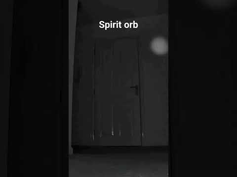
spirit orb comes straight at the camera

spirit orb moves down the hallway straight towards the camera.

spirit orb passing the camera

activity starts after I leave for work.

Nearby Amenities

Located within 500m of 55.857045,-4.5355327
Traffic Signals
Lat/Long: 55.8576861/-4.5387938
Restaurant
River Inn
Lat/Long: 55.8600261/-4.5403228
Power: tower
Source: Bing
Lat/Long: 55.852566/-4.5362886
Post Box
Ref: PA6 254
Lat/Long: 55.8586095/-4.53366
Power: pole
Lat/Long: 55.8546578/-4.5388827
Power: pole
Lat/Long: 55.8578802/-4.5417179
Power: pole
Lat/Long: 55.8583187/-4.5422908
Power: pole
Lat/Long: 55.858722/-4.5428658
Bus Stop
Leman Drive
Bus: yes
Public Transport: platform
Lat/Long: 55.8599506/-4.53082
Bus Stop
Leman Drive
Bus: yes
Naptan AtcoCode: 61401001
Naptan NaptanCode: 73926298
Public Transport: platform
Lat/Long: 55.8599879/-4.5306183
Bus Stop
Piper Road
Bus: yes
Naptan AtcoCode: 61401004
Naptan NaptanCode: 73935245
Public Transport: platform
Lat/Long: 55.8583188/-4.5353798
Bus Stop
Forties Road
Bus: yes
Naptan AtcoCode: 61401003
Naptan NaptanCode: 73925783
Public Transport: platform
Lat/Long: 55.8582429/-4.5352403
Bus Stop
Crosslee Road
Bus: yes
Naptan AtcoCode: 6140854
Naptan NaptanCode: 73924585
Public Transport: platform
Lat/Long: 55.8582911/-4.539549
Bus Stop
Crosslee Road
Bus: yes
Naptan AtcoCode: 6140853
Naptan NaptanCode: 73925486
Public Transport: platform
Lat/Long: 55.8582526/-4.5396627
Bus Stop
Whirlee Road
Bus: yes
Public Transport: platform
Lat/Long: 55.8603456/-4.540594
Bus Stop
Whirlee Road
Bus: yes
Public Transport: platform
Lat/Long: 55.8602179/-4.5404417
Noexit: yes
Lat/Long: 55.8573171/-4.5364791
Bicycle Parking
Bicycle Parking: stands
Capacity: 8
Covered: no
Lat/Long: 55.8599594/-4.5409004
Leisure: picnic_table
Lat/Long: 55.8599675/-4.5408271
Leisure: picnic_table
Lat/Long: 55.8599654/-4.540786
Bench
Lat/Long: 55.8599383/-4.540735
Bench
Lat/Long: 55.8599634/-4.5410622
Bench
Lat/Long: 55.8599449/-4.5412196
The data included in this document is from www.openstreetmap.org. The data is made available under ODbL.

Have you been to Fulton Wood?

Leave your review of Fulton Wood below (or comments, questions and feedback).