Midtown Wood
Wood, Forest in Renfrewshire
Scotland
Midtown Wood
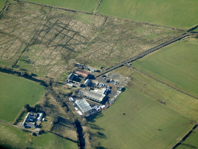
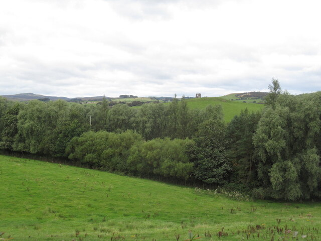
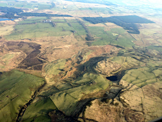
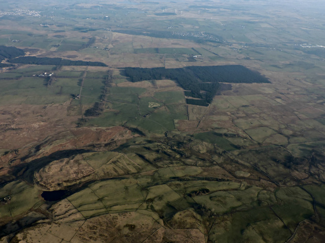
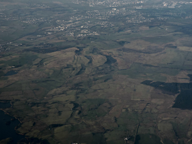
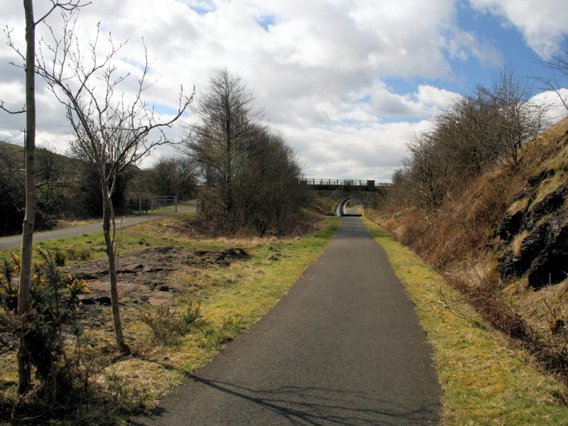
Midtown Wood, located in Renfrewshire, Scotland, is a charming forest area that offers a tranquil escape from the hustle and bustle of urban life. Spread over an expansive area, this wood is known for its diverse flora and fauna, making it a haven for nature enthusiasts and wildlife lovers alike.
The wood features a variety of trees, including oak, birch, and rowan, creating a picturesque landscape that changes with the seasons. The lush greenery provides a peaceful environment for visitors to explore and reconnect with nature. Walking trails wind through the wood, allowing visitors to immerse themselves in its beauty and discover its hidden gems.
Wildlife is abundant in Midtown Wood, with numerous species calling it home. Birdwatchers can spot a wide range of avian species, such as woodpeckers, finches, and thrushes. If lucky, visitors may even catch a glimpse of the elusive red squirrel, which is known to inhabit the area. The wood is also home to various small mammals, including rabbits, hedgehogs, and voles.
For those seeking outdoor activities, Midtown Wood offers plenty of opportunities. There are designated picnic areas where visitors can enjoy a packed lunch amidst the serene surroundings. Additionally, the wood has a children's play area, making it a great destination for families.
Midtown Wood is easily accessible, with ample parking available for visitors. Whether one wishes to take a leisurely stroll, observe wildlife, or simply relax in nature's embrace, this woodland retreat offers a delightful experience for all.
If you have any feedback on the listing, please let us know in the comments section below.
Midtown Wood Images
Images are sourced within 2km of 55.80747/-4.5405903 or Grid Reference NS4060. Thanks to Geograph Open Source API. All images are credited.


Midtown Wood is located at Grid Ref: NS4060 (Lat: 55.80747, Lng: -4.5405903)
Unitary Authority: Renfrewshire
Police Authority: Renfrewshire and Inverclyde
What 3 Words
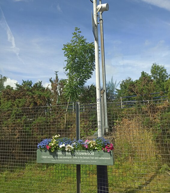
///airbrush.risks.putts. Near Howwood, Renfrewshire
Nearby Locations
Related Wikis

Walls Loch
Walls Loch is situated at a height of 560 feet, below the Walls Hill Iron Age fort and to the east of Broadfield Hill on the lands of North Castlewalls...

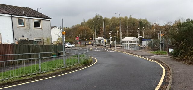
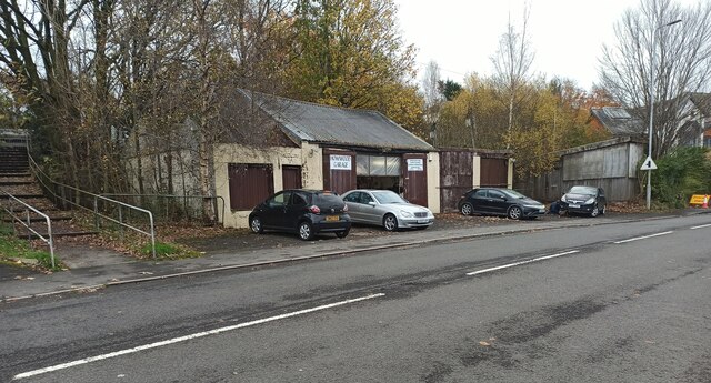
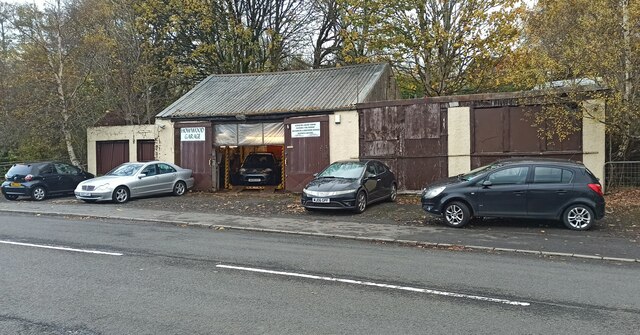
Howwood
Howwood (Scots: The Howewuid, Scottish Gaelic: Coille an Dail) is a village in Renfrewshire, Scotland. It is between Johnstone and Lochwinnoch, just off...

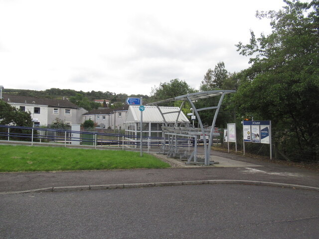
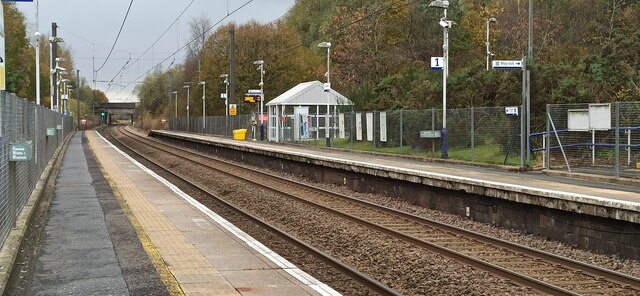
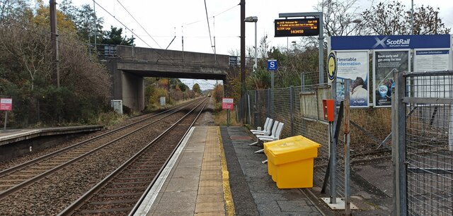
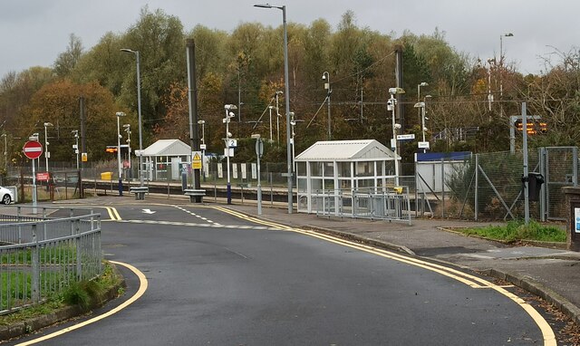
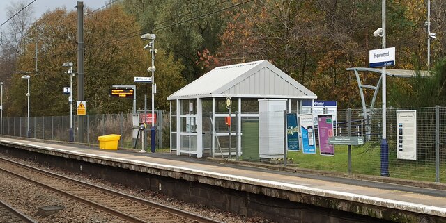
Howwood railway station
Howwood railway station is a railway station serving the village of Howwood, Renfrewshire, Scotland. The station is managed by ScotRail and is on the Ayrshire...
Lands of Elliston
The lands of Elliston, previously Elliotston or Eliotstoun or Elliestoun in the Parish of Lochwinnoch were part of the holdings of the Barony of Elliston...
Cochrane Castle
Cochrane Castle was a castle, 1 mile (1.6 km) west of Johnstone, Renfrewshire, Scotland, near the Black Cart Water. == History == The property was owned...

Milliken Park railway station
Milliken Park railway station serves the west end of Johnstone and the south west of the village of Kilbarchan in Renfrewshire, Scotland. The station is...
Castle Semple railway station
Castle Semple railway station was intended to be a railway station that would have served the village of Howwood, Renfrewshire, Scotland as part of the...

Renfrewshire
Renfrewshire () (Scots: Renfrewshire; Scottish Gaelic: Siorrachd Rinn Friù) is one of the 32 council areas of Scotland. The council area has the same name...
Related Videos

Proud Mary
Rolling Tracey Pollock Proud Mary Tina Turner.


VANDUARA - Renfrewshire's Capital of the Damnonii
In the middle of a wet marshy moor not far from Howwood in Renfrewshire, by the ruins of North Castlewalls, sits Walls Hill, site of ...

Castle Semple Temple/thank you all for 5k🙏💕สวัสดีค่ะ พาชมปราสาท บนเนินสูงวิวสวยๆ
Hi everyone welcome and thank you very much for watching i would like to take this opportunity to say thank you everyone for ...
Nearby Amenities
Located within 500m of 55.80747,-4.5405903Have you been to Midtown Wood?
Leave your review of Midtown Wood below (or comments, questions and feedback).