Black Wood
Wood, Forest in Dunbartonshire
Scotland
Black Wood
Black Wood is a dense forest located in the Dunbartonshire region of Scotland. It spans an area of approximately 500 hectares and is known for its rich biodiversity and scenic beauty. The woodland is situated on the southern slopes of the Kilpatrick Hills, offering stunning panoramic views of the surrounding landscapes.
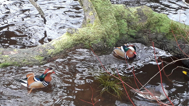
The forest is predominantly composed of native broadleaf trees, such as oak, birch, and rowan, creating a varied and vibrant ecosystem. It is also home to a diverse array of wildlife, including red deer, badgers, foxes, and a wide range of bird species. Birdwatchers often flock to Black Wood to catch glimpses of rare and migratory birds that inhabit the area.
The woodland is crisscrossed by several well-maintained trails, making it a popular destination for hikers and nature enthusiasts. Visitors can explore the forest through these trails, which offer opportunities for peaceful walks and birdwatching. Additionally, the forest is equipped with picnic areas and viewpoints, allowing visitors to relax and take in the natural beauty of the surroundings.
Black Wood is also of historical significance, with remnants of ancient settlements and structures scattered throughout the forest. These archaeological sites provide insights into the area's past and add an extra layer of intrigue to the natural beauty of the wood.
Overall, Black Wood in Dunbartonshire is a captivating forest that offers a unique combination of natural beauty, biodiversity, and historical significance. It is a haven for outdoor enthusiasts and nature lovers alike, providing a tranquil escape from the hustle and bustle of everyday life.
If you have any feedback on the listing, please let us know in the comments section below.
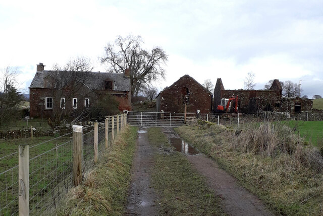
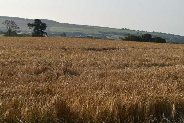
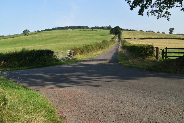
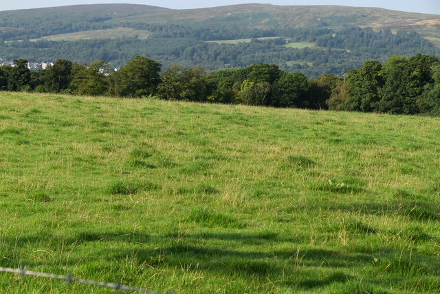
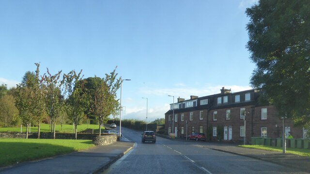
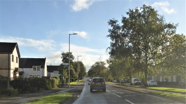
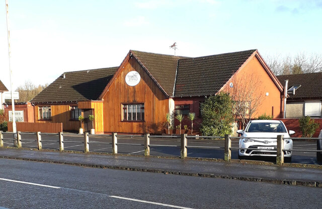
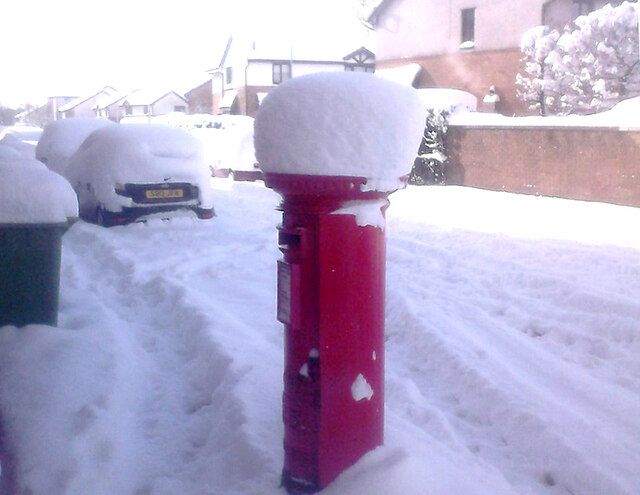
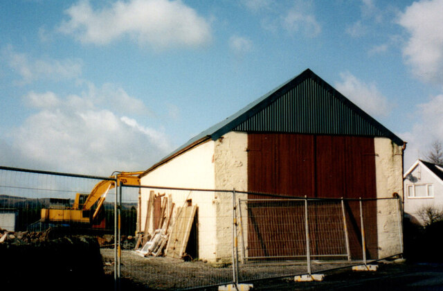
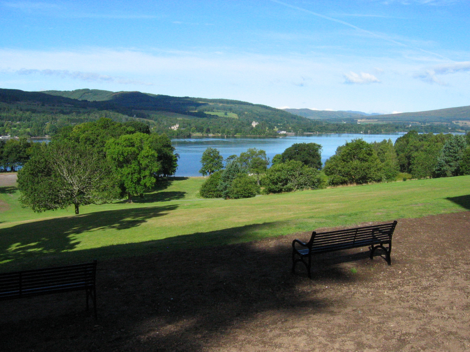
Black Wood Images
Images are sourced within 2km of 56.010655/-4.5610101 or Grid Reference NS4082. Thanks to Geograph Open Source API. All images are credited.


Black Wood is located at Grid Ref: NS4082 (Lat: 56.010655, Lng: -4.5610101)
Unitary Authority: West Dunbartonshire
Police Authority: Argyll and West Dunbartonshire
What 3 Words
///segregate.advice.sediment. Near Balloch, West Dunbartonshire
Nearby Locations
Related Wikis

Balloch Castle
Balloch Castle is an early 19th-century country house situated at the southern tip of Loch Lomond, in West Dunbartonshire, Scotland. Balloch was a property...
Balloch Country Park
Balloch Country Park is a 200-acre (0.81 km2) country park on the southern tip of Loch Lomond in West Dunbartonshire, Scotland. It was recognised as a...

Balloch, West Dunbartonshire
Balloch (; Scots pronunciation: /ˈbɑləx/; Gaelic: Am Bealach) is a village in West Dunbartonshire, Scotland, at the foot of Loch Lomond. == Etymology... ==

Loch Lomond Radium Works
Loch Lomond Radium Works was a company founded by John Stewart MacArthur in 1911 as the Radium Works in Halton, Cheshire, England. The company moved to...

Balloch Central railway station
Balloch Central railway station was the main railway station serving the town of Balloch in Scotland. It was opened on 15 July 1850 by the Caledonian and...
Jamestown railway station
Jamestown railway station served the village of Jamestown, in the historical county of Dunbartonshire, Scotland, from 1856 to 1964 on the Forth and Clyde...

Jamestown, West Dunbartonshire
Jamestown (Scottish Gaelic: Baile Sheumais (IPA:[ˈpaləˈheːməʃ]), Scots: Jeamstoun) is a village in the Vale of Leven conurbation in West Dunbartonshire...
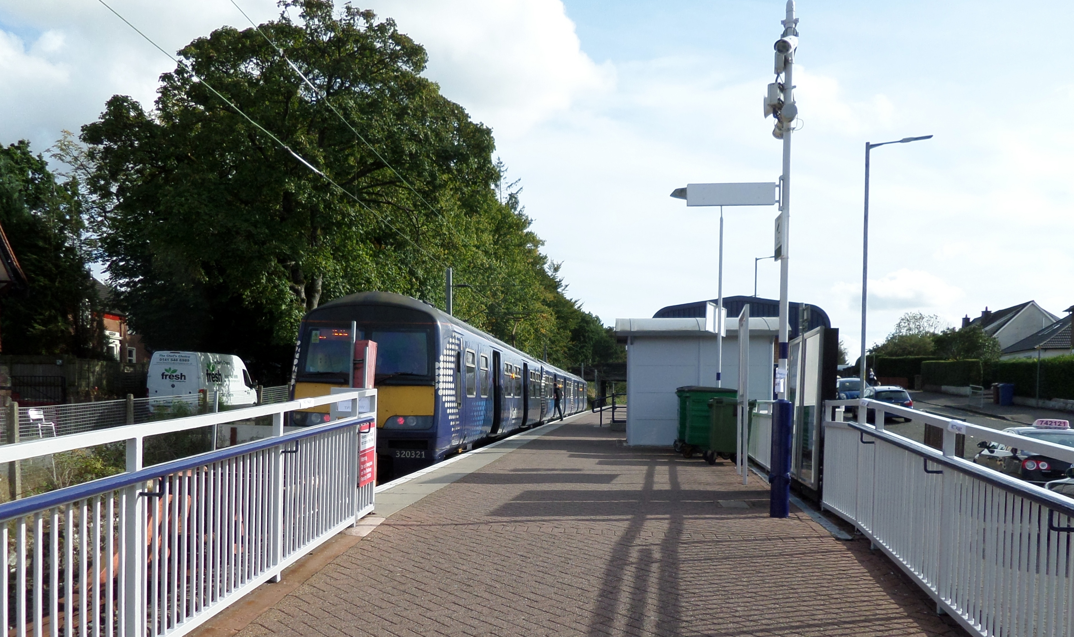
Balloch railway station
Balloch railway station is a railway station serving the town of Balloch in Scotland. The station is a western terminus of the North Clyde Line, sited...
Nearby Amenities
Located within 500m of 56.010655,-4.5610101Have you been to Black Wood?
Leave your review of Black Wood below (or comments, questions and feedback).