Ledrishmore Wood
Wood, Forest in Dunbartonshire
Scotland
Ledrishmore Wood
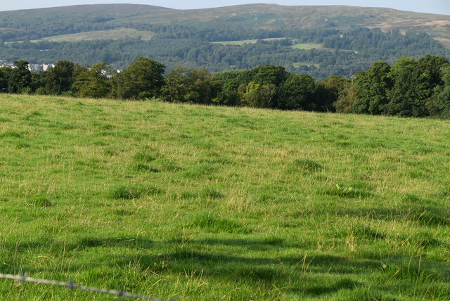
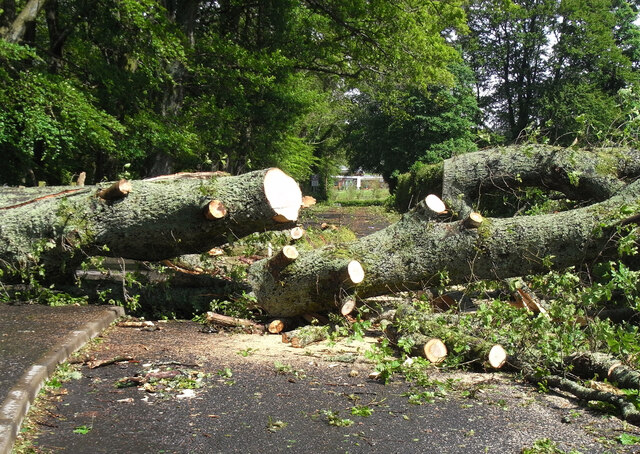
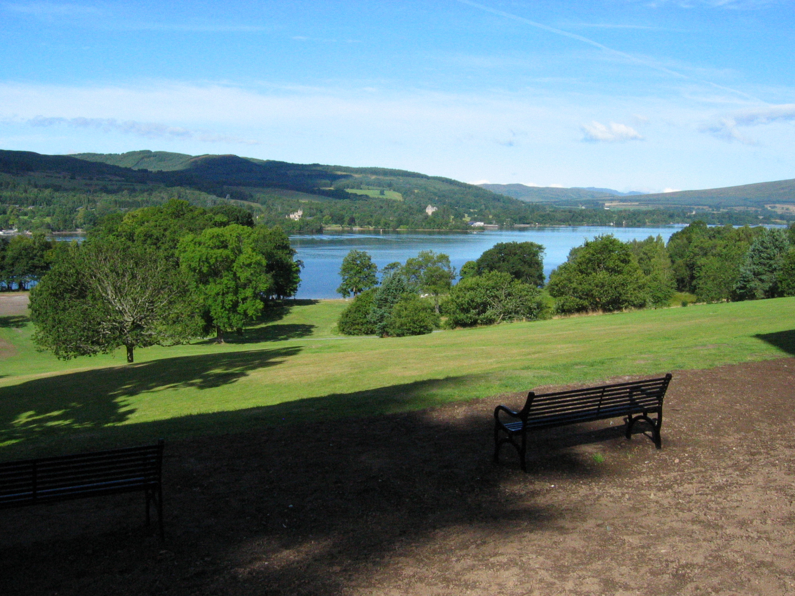
Ledrishmore Wood is a picturesque woodland located in Dunbartonshire, Scotland. Covering an area of approximately 100 acres, it is a popular destination for nature lovers and outdoor enthusiasts. The wood is predominantly composed of diverse tree species, including oak, birch, and pine, creating a vibrant and serene environment.
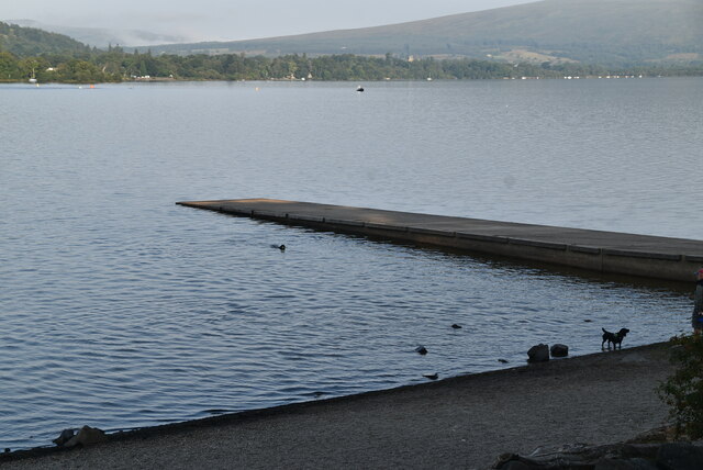
The woodland is home to a rich variety of wildlife, making it a haven for birdwatchers and nature photographers. Visitors can spot a range of bird species, such as woodpeckers, jays, and owls, as well as small mammals like squirrels and rabbits. The tranquil atmosphere and lush vegetation provide an ideal habitat for these creatures.
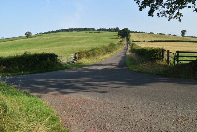
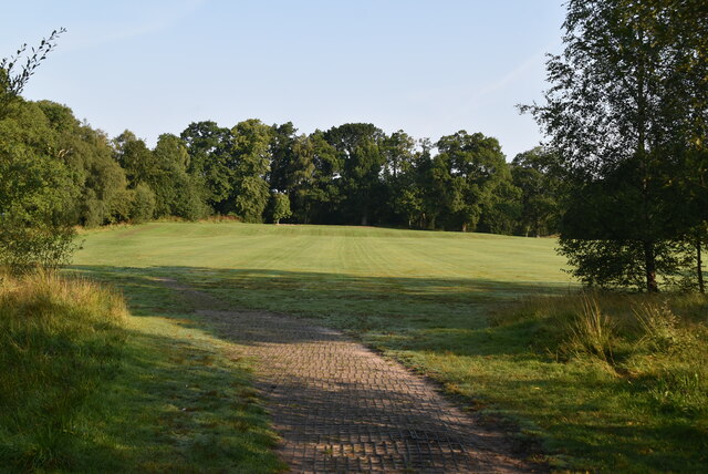
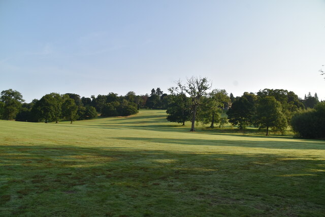
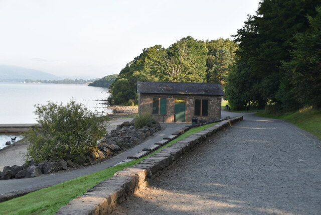
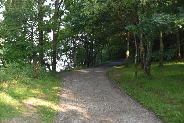
Ledrishmore Wood offers several well-maintained trails, allowing visitors to explore its natural beauty. The paths wind through the woodland, offering breathtaking views of the surrounding landscape. Along the way, visitors may come across charming clearings and enchanting streams, creating a truly immersive experience.
The wood is also renowned for its historical significance. It is believed to have been part of the ancient Caledonian Forest that once covered much of Scotland. This adds an extra layer of fascination for those interested in the region's heritage.
Accessibility to Ledrishmore Wood is convenient, with ample parking facilities and well-marked entrances. The wood is open to the public year-round, making it a popular destination for both locals and tourists alike, who seek a peaceful retreat in nature. Whether it's a leisurely stroll, birdwatching, or simply enjoying the tranquility, Ledrishmore Wood offers a delightful experience for all.
If you have any feedback on the listing, please let us know in the comments section below.
Ledrishmore Wood Images
Images are sourced within 2km of 56.025535/-4.5676935 or Grid Reference NS4084. Thanks to Geograph Open Source API. All images are credited.


Ledrishmore Wood is located at Grid Ref: NS4084 (Lat: 56.025535, Lng: -4.5676935)
Unitary Authority: West Dunbartonshire
Police Authority: Argyll and West Dunbartonshire
What 3 Words
///brushing.frightens.rags. Near Balloch, West Dunbartonshire
Nearby Locations
Related Wikis

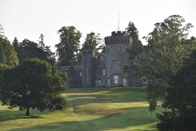
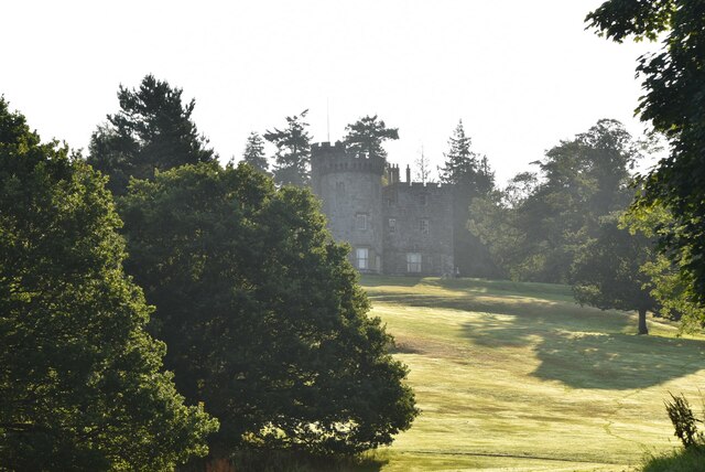
Balloch Castle
Balloch Castle is an early 19th-century country house situated at the southern tip of Loch Lomond, in West Dunbartonshire, Scotland. Balloch was a property...
Balloch Country Park
Balloch Country Park is a 200-acre (0.81 km2) country park on the southern tip of Loch Lomond in West Dunbartonshire, Scotland. It was recognised as a...

Balloch Pier railway station
Balloch Pier railway station was a railway station serving the southern end of Loch Lomond on the northern edge of Balloch, Scotland. In 1960 the North...
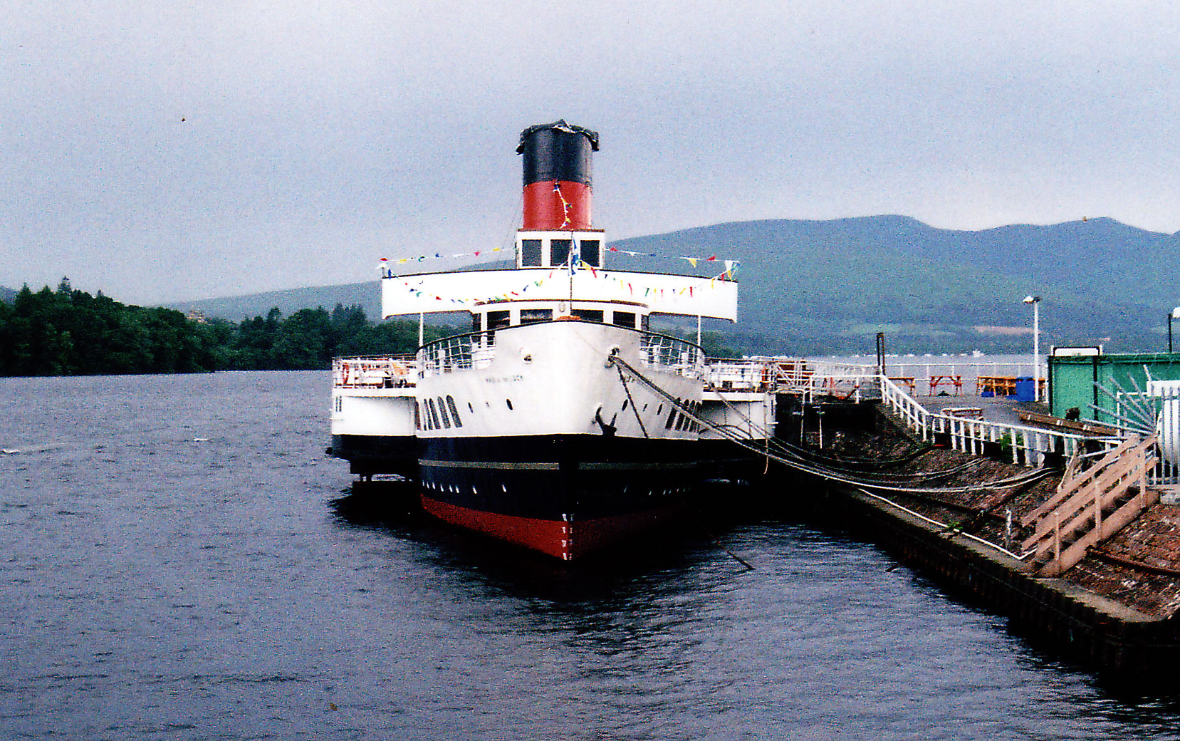
PS Maid of the Loch
PS Maid of the Loch is the last paddle steamer built in the United Kingdom. She operated on Loch Lomond for 29 years and as of 2022 is being restored near...
Related Videos

Arrochar Alps | Beinn Ime & Beinn Narnain | Hiking | 4K
Day hike in the Arrochar Alps, Loch Lomond and The Trossachs National Park, Scotland. After the snow thwarting my attempt to ...

Ben More (or less?!) | Scottish Highlands | Hiking | 4K
The plan was to summit both Ben More and Stob Binnein (Loch Lomond & The Trossachs National Park, Scotland)... The snow ...

Spend a day with me as I go Hiking with BSA
Hi, let me share how my first hike of the year went with the Black Scottish Adventurers (BSA)! The breathtaking landscapes I saw at ...

Boat Ride at Loch Lomond in Scotland 🏴 #travel #scotland #boat
This Boat Ride at Loch Lomond had such a gorgeous, scenic view. there were castles, mountains, and animals in the distance.
Nearby Amenities
Located within 500m of 56.025535,-4.5676935Have you been to Ledrishmore Wood?
Leave your review of Ledrishmore Wood below (or comments, questions and feedback).