Ferryhill Plantation
Wood, Forest in Renfrewshire
Scotland
Ferryhill Plantation
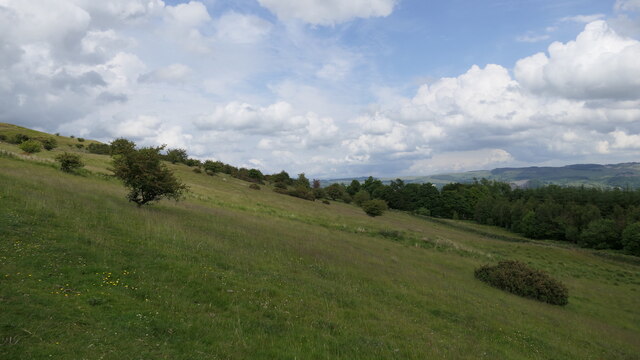
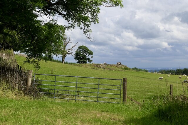
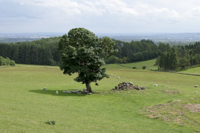
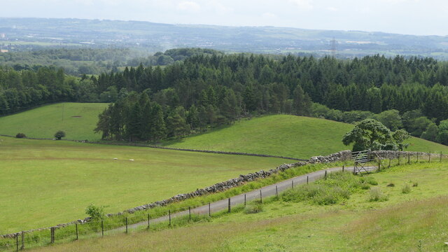
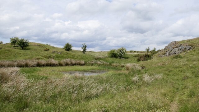
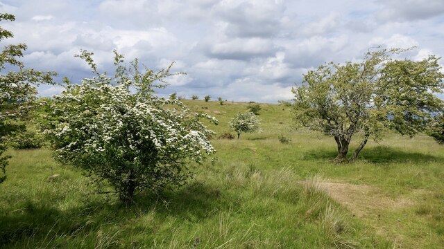
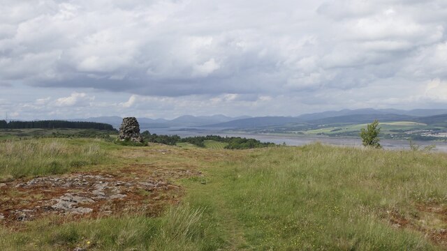
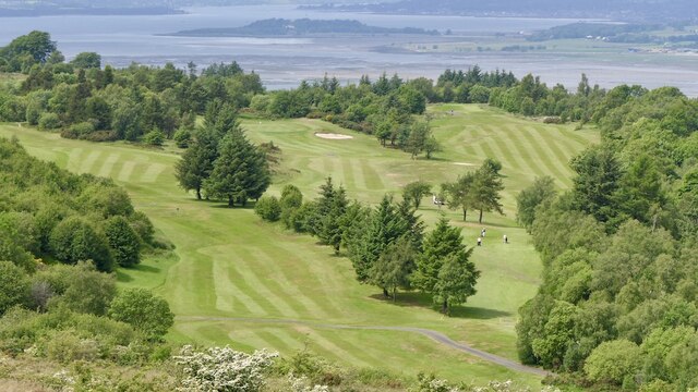
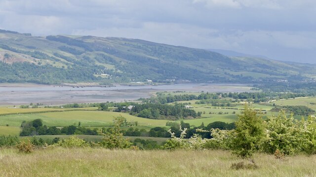
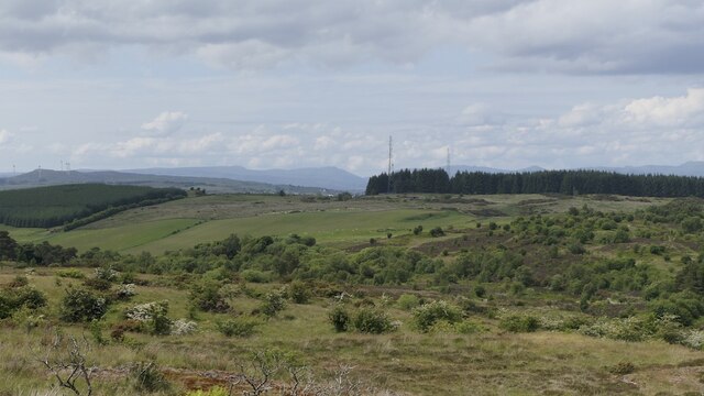
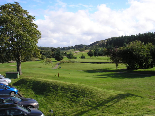
Ferryhill Plantation, located in Renfrewshire, Scotland, is a picturesque woodland area known for its natural beauty and rich history. Covering an expansive area, the plantation is characterized by dense forests, diverse wildlife, and a range of walking trails.
The woodland is predominantly made up of native Scottish tree species such as oak, birch, and pine, creating a diverse and vibrant ecosystem. The thick foliage provides a habitat for various wildlife including red squirrels, deer, and a variety of bird species, making it a popular spot for nature enthusiasts and birdwatchers.
The plantation is also steeped in history, with remnants of its past still visible today. Dating back to the 18th century, Ferryhill was originally used as a hunting ground for the local nobility. Over the years, the land has changed ownership several times, and today it is managed by the local council.
Visitors to Ferryhill Plantation can explore the area through a network of well-maintained walking trails. These trails offer stunning views of the surrounding countryside and provide an opportunity to immerse oneself in nature. The plantation is particularly popular in the autumn months, when the trees display a riot of colors.
In addition to its natural beauty, Ferryhill Plantation is also a site of historical and cultural significance. It serves as a reminder of Scotland's rich heritage and offers a tranquil escape from the hustle and bustle of daily life. Whether for a leisurely walk, wildlife spotting, or simply to enjoy the serenity of nature, Ferryhill Plantation is a must-visit destination for outdoor enthusiasts and history buffs alike.
If you have any feedback on the listing, please let us know in the comments section below.
Ferryhill Plantation Images
Images are sourced within 2km of 55.920523/-4.5635594 or Grid Reference NS3972. Thanks to Geograph Open Source API. All images are credited.


Ferryhill Plantation is located at Grid Ref: NS3972 (Lat: 55.920523, Lng: -4.5635594)
Unitary Authority: Renfrewshire
Police Authority: Renfrewshire and Inverclyde
What 3 Words
///refuse.tries.jumps. Near Dumbarton, West Dunbartonshire
Nearby Locations
Related Wikis
Gleddoch House Hotel & Golf Club
Gleddoch House Hotel & Golf Club is situated in a 360-acre estate in Langbank, Renfrewshire. == Hotel == Gleddoch House is a Victorian mansion built by...

Langbank
Langbank is a village on the south bank of the River Clyde in Renfrewshire, Scotland. It is 9.3 miles/15 km northwest from Paisley (Renfrewshire) and 3...

Langbank railway station
Langbank railway station serves the village of Langbank in Renfrewshire, Scotland. The station is on the Inverclyde Line, 16 miles (26 km) west of Glasgow...

Siege of Dumbarton
The siege of Dumbarton was a successful four-month siege of the Brittonic fortress at Dumbarton Rock in 870, initiated by the Viking leaders Amlaíb, King...
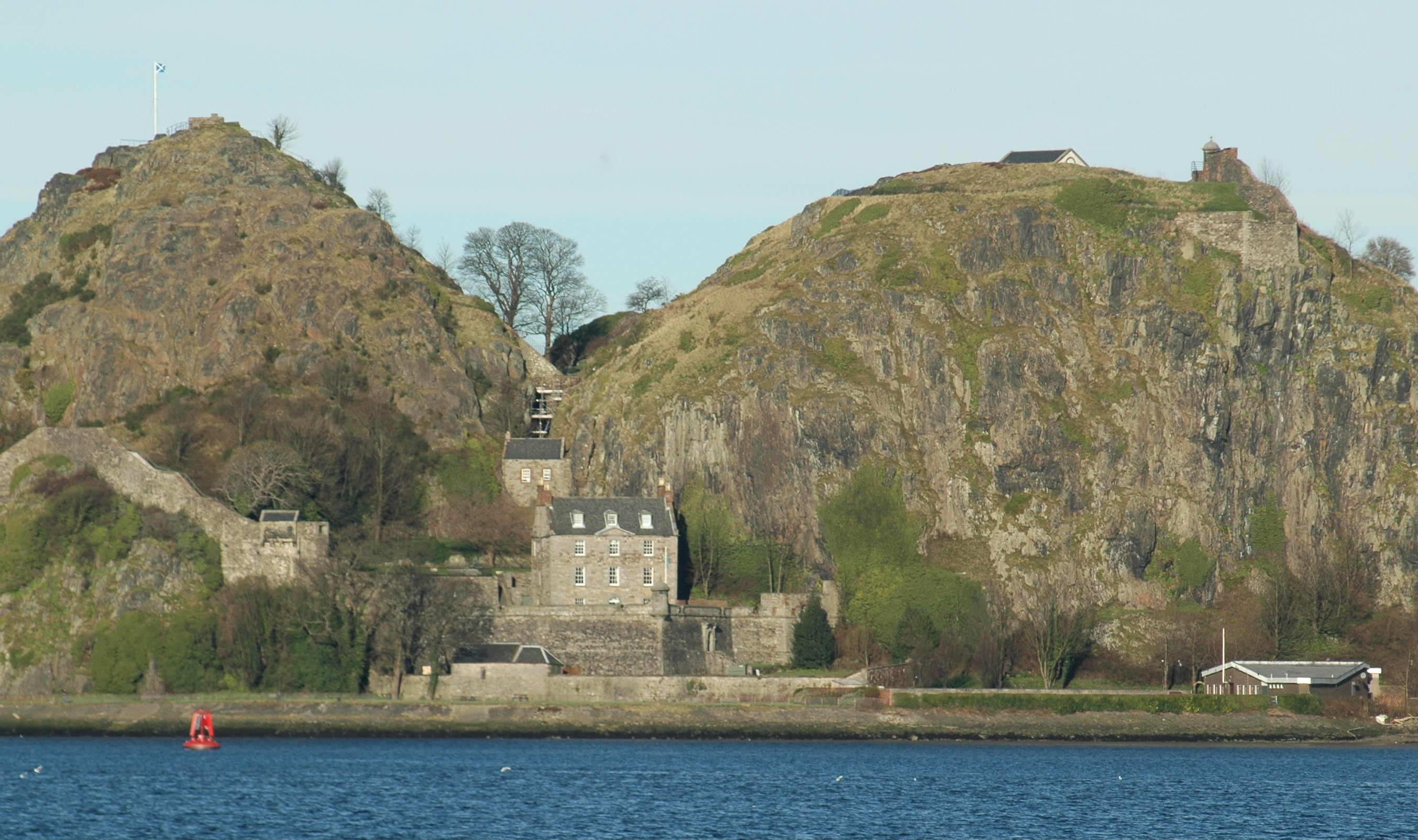
Dumbarton Castle
Dumbarton Castle (Scottish Gaelic: Dùn Breatainn, pronounced [t̪unˈpɾʲɛʰt̪ɪɲ]; Welsh: Alt Clut) has the longest recorded history of any stronghold in Scotland...

Battle of Alclud Ford
The Battle of Alclud Ford was a battle between the post-Roman Celtic Britons of Rheged and the Anglo-Saxon Kingdom of Bernicia around c. 580CE. The fighting...
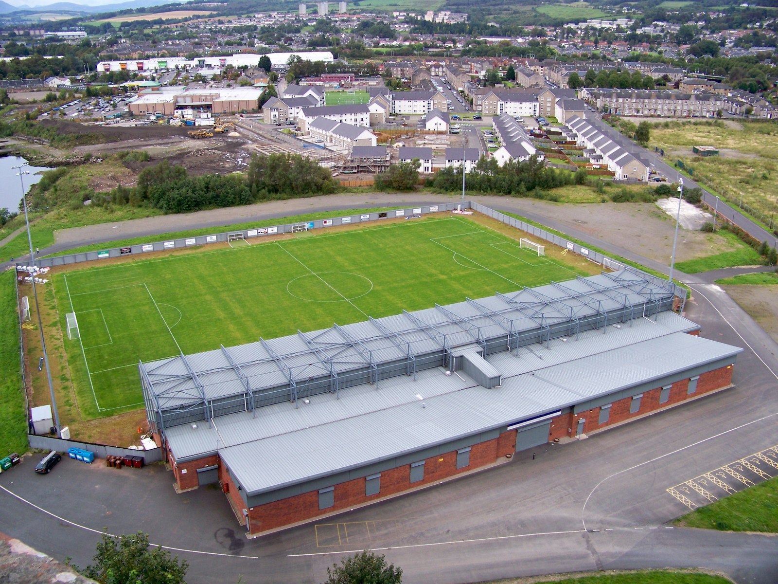
Dumbarton Football Stadium
The Dumbarton Football Stadium, commonly known as The Rock, is a stadium in Dumbarton, Scotland, used mostly for football matches; it is the home ground...

Formakin House
Formakin House is an early 20th-century mansion and estate in Renfrewshire, Scotland. It is located 2 kilometres (1.2 mi) south of the Firth of Clyde,...
Nearby Amenities
Located within 500m of 55.920523,-4.5635594Have you been to Ferryhill Plantation?
Leave your review of Ferryhill Plantation below (or comments, questions and feedback).