Boreland Plantation

Wood, Forest in Wigtownshire

Scotland

Boreland Plantation

Old milestone This milestone is on the very narrow verge about 200m NE of Cairnfield Cottages.  Another stone cleared of vegetation and painted by a Milestone Society member.   Looks like a tractor just missed it!
Old milestone Credit: Chris Minto

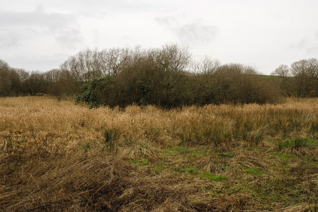
Boreland Plantation is a historic woodland area located in Wigtownshire, Scotland. Covering an extensive area of approximately 500 acres, it is renowned for its diverse range of trees and its rich natural beauty. The plantation is situated near the village of Kirkcowan, about 10 miles east of the town of Newton Stewart.

The woodland at Boreland Plantation consists primarily of native species such as oak, birch, and ash, which have thrived in the region for centuries. The old-growth trees tower majestically, forming a dense canopy that provides shelter for a wide variety of wildlife. The woodland floor is adorned with a carpet of wildflowers, ferns, and mosses, creating a serene and picturesque scene.

Aside from its natural splendor, Boreland Plantation also holds historical significance. The plantation has been managed by the Forestry Commission since the mid-20th century, but its origins can be traced back to the early 19th century when it was established as a commercial timber plantation. Remnants of the old timber industry, such as disused sawmills and tramways, can still be found within the woodland, adding to its historical charm.

Visitors to Boreland Plantation can enjoy a range of activities. There are well-maintained trails that meander through the woodland, providing opportunities for peaceful walks and birdwatching. The plantation is also a popular spot for mountain biking, with designated trails catering to all levels of experience.

Overall, Boreland Plantation in Wigtownshire is a captivating woodland retreat that offers both natural beauty and a glimpse into the region's timber industry heritage.

If you have any feedback on the listing, please let us know in the comments section below.

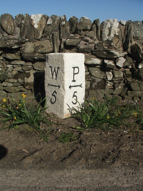
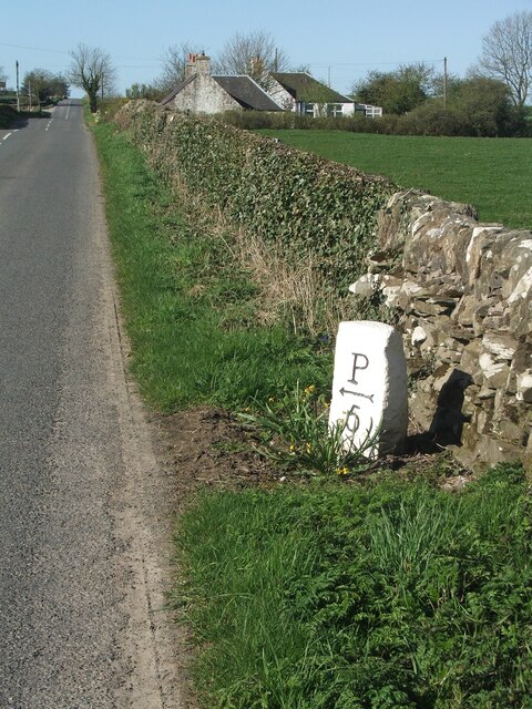
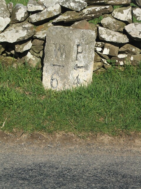
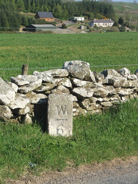
Boreland Plantation Images

Images are sourced within 2km of 54.798002/-4.5089239 or Grid Reference NX3847. Thanks to Geograph Open Source API. All images are credited.

Old milestone This milestone is on the very narrow verge about 200m NE of Cairnfield Cottages.  Another stone cleared of vegetation and painted by a Milestone Society member.   Looks like a tractor just missed it!
Old milestone
This milestone is on the very narrow verge about 200m NE of Cairnfield Cottages. Another stone cleared of vegetation and painted by a Milestone Society member. Looks like a tractor just missed it!
Old milestone Cairnfield Cottages in the distance at a junction of a minor road to Culbae and Kildarroch.  The rough unworked back of the milestone can be seen.
Old milestone
Cairnfield Cottages in the distance at a junction of a minor road to Culbae and Kildarroch. The rough unworked back of the milestone can be seen.
Old milestone Another milestone along the B7085 from the A746 south of Bladnoch bridge.   Another narrow verge backed by a stone wall typical of this area.
Old milestone
Another milestone along the B7085 from the A746 south of Bladnoch bridge. Another narrow verge backed by a stone wall typical of this area.
Old milestone The buildings in the distance are at Culgarie.  The white lichens on the stone wall show how clean the air is.
Old milestone
The buildings in the distance are at Culgarie. The white lichens on the stone wall show how clean the air is.
Millers Cairn Millers Cairn is a crannog which was excavated in 1864 when Dowalton Loch was the drained. 

The following is the description from the site record on the Canmore website of the Royal Commission on the Ancient and Historical Monuments of Scotland: (<span class="nowrap"><a title="http://canmore.rcahms.gov.uk/en/site/62699/details/miller+s+cairn+dowalton+loch/&biblio=more" rel="nofollow ugc noopener" href="http://canmore.rcahms.gov.uk/en/site/62699/details/miller+s+cairn+dowalton+loch/&biblio=more">Link</a><img style="margin-left:2px;" alt="External link" title="External link - shift click to open in new window" src="https://s1.geograph.org.uk/img/external.png" width="10" height="10"/></span> )

"Miller's Cairn, a crannog, is so called from its having been a mark of the levels when Dowalton Loch was drained by cuts for feeding nearby mills. It was still surrounded by water when visited by Lord Percy in 1863, when it was seen to comprise a surface of stones and soil over a substructure of oak piles, hazel branches and ferns. The crannog was surrounded by oak piles, and lines of piles, to support a causeway, led from it to the shore. A hearth was found on it, as well as a small piece of bronze, while a Romano-British bronze basin was found in the loch nearby. Both are in NMAS."

Today Millers Cairn can be accessed from the south by picking a careful path through the surrounding marsh, although a thick and virtually impenetrable covering of rhododendron makes exploring its surface almost impossible.
Millers Cairn
Millers Cairn is a crannog which was excavated in 1864 when Dowalton Loch was the drained. The following is the description from the site record on the Canmore website of the Royal Commission on the Ancient and Historical Monuments of Scotland: (LinkExternal link ) "Miller's Cairn, a crannog, is so called from its having been a mark of the levels when Dowalton Loch was drained by cuts for feeding nearby mills. It was still surrounded by water when visited by Lord Percy in 1863, when it was seen to comprise a surface of stones and soil over a substructure of oak piles, hazel branches and ferns. The crannog was surrounded by oak piles, and lines of piles, to support a causeway, led from it to the shore. A hearth was found on it, as well as a small piece of bronze, while a Romano-British bronze basin was found in the loch nearby. Both are in NMAS." Today Millers Cairn can be accessed from the south by picking a careful path through the surrounding marsh, although a thick and virtually impenetrable covering of rhododendron makes exploring its surface almost impossible.
Old Milestone by the B7085, Kirkland of Longcastle By the B7085, in parish of Kirkinner (Wigtownshire District), 300m South of crossroads, on verge, North West side of road.

Inscription reads:-
: W / {arrow} / 6 : : P / {arrow} / 4 : 
(To Wigtown and Port William)

Surveyed

Milestone Society National ID: DG_WGPW06
Old Milestone by the B7085, Kirkland of Longcastle
By the B7085, in parish of Kirkinner (Wigtownshire District), 300m South of crossroads, on verge, North West side of road. Inscription reads:- : W / {arrow} / 6 : : P / {arrow} / 4 : (To Wigtown and Port William) Surveyed Milestone Society National ID: DG_WGPW06
Old Milestone by the B7085, north of Cairnfield, Kirkinner parish Stone post by the B7085, in parish of Kirkinner (Wigtownshire District), 200m Northeast of Cairnfield Cottages, on verge, Northwest side of road.

Inscription reads:-
: W / {arrow->} / 5 : : P / {<-arrow} / 5 :
(To Wigtown and Port William)

Surveyed

Milestone Society National ID: DG_WGPW05
Old Milestone by the B7085, north of Cairnfield, Kirkinner parish
Stone post by the B7085, in parish of Kirkinner (Wigtownshire District), 200m Northeast of Cairnfield Cottages, on verge, Northwest side of road. Inscription reads:- : W / {arrow->} / 5 : : P / {<-arrow} / 5 : (To Wigtown and Port William) Surveyed Milestone Society National ID: DG_WGPW05
Hedge-lined minor road near to Annat Hill Looking north-westward.
Hedge-lined minor road near to Annat Hill
Looking north-westward.
Tree-lined track leading to Drummoddie Croft Looking south-westward.
Tree-lined track leading to Drummoddie Croft
Looking south-westward.
Hedge-lined minor road near to Longcastle Looking north-westward towards the B7085 road.
Hedge-lined minor road near to Longcastle
Looking north-westward towards the B7085 road.
Enclosed track heading in the direction of Culgarie Looking north-westward.
Enclosed track heading in the direction of Culgarie
Looking north-westward.
Track heading towards Culgarie Looking northward.
Track heading towards Culgarie
Looking northward.
Minor road at Airyhassen Looking north-westward.
Minor road at Airyhassen
Looking north-westward.
Ordnance Survey Cut Mark This mark can be found on the roadside (B7085) cottage at Longcastle. The benchmark&amp;#039;s recorded height is 62.627 metres above sea level.
For more detail see : &lt;span class=&quot;nowrap&quot;&gt;&lt;a title=&quot;https://www.bench-marks.org.uk/bm109813&quot; rel=&quot;nofollow ugc noopener&quot; href=&quot;https://www.bench-marks.org.uk/bm109813&quot;&gt;Link&lt;/a&gt;&lt;img style=&quot;margin-left:2px;&quot; alt=&quot;External link&quot; title=&quot;External link - shift click to open in new window&quot; src=&quot;https://s1.geograph.org.uk/img/external.png&quot; width=&quot;10&quot; height=&quot;10&quot;/&gt;&lt;/span&gt;
Ordnance Survey Cut Mark
This mark can be found on the roadside (B7085) cottage at Longcastle. The benchmark's recorded height is 62.627 metres above sea level. For more detail see : LinkExternal link
Airyhassen On the B7085 Portwilliam to Wigtown road
Airyhassen
On the B7085 Portwilliam to Wigtown road
Kirkland of Longcastle On the B7085 Portwilliam to Wigtown road.
Kirkland of Longcastle
On the B7085 Portwilliam to Wigtown road.
Longcastle Schoolhouse On the B7085. It is hard now to envisage how at one time a school in such a remote location was viable.
Longcastle Schoolhouse
On the B7085. It is hard now to envisage how at one time a school in such a remote location was viable.
Standing stone near Longcastle Schoolhouse One of many standing stones in Galloway.
Standing stone near Longcastle Schoolhouse
One of many standing stones in Galloway.
Show me another place!

Boreland Plantation is located at Grid Ref: NX3847 (Lat: 54.798002, Lng: -4.5089239)

Unitary Authority: Dumfries and Galloway

Police Authority: Dumfries and Galloway

What 3 Words

///shippers.goad.chatting. Near Whithorn, Dumfries & Galloway

Related Wikis

Whauphill

Whauphill is a small village located in the historical county of Wigtownshire in the Machars, Dumfries and Galloway, Scotland.Whauphill is a hub that supports...

Whauphill railway station

Whauphill (NX 40462 49887) was a railway station on the Wigtownshire Railway branch line, from Newton Stewart to Whithorn, of the Portpatrick and Wigtownshire...
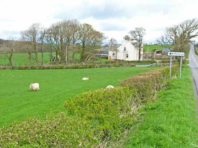
Mochrum

Mochrum () is a coastal civil and Church of Scotland parish situated to the east of Luce Bay on the Machars peninsula and 8 miles (13 km) southwest of...

Drumtroddan standing stones

The Drumtroddan standing stones (grid reference NX 36449 44300) are a small Neolithic or Bronze Age stone alignment in the parish of Mochrum, Wigtownshire...

Kirkinner

Kirkinner (Scottish Gaelic: Cille Chainneir, IPA: [ˈkʲʰiʎə ˈxaɲɪɾʲ]) is a village in the Machars, in the historical county of Wigtownshire in Dumfries...

Sorbie railway station

Sorbie (NX4351447562) was a railway station that was located close to the village of Sorbie on the then Wigtownshire Railway branch line to Whithorn, from...

Sorbie

Sorbie (Scottish Gaelic: Soirbidh) is a small village in Wigtownshire, Machars, within the Administration area of Dumfries and Galloway Council, Scotland...

Kirkinner railway station

Kirkinner was a railway station on the Wigtownshire Railway branch line, from Newton Stewart to Whithorn, of the Portpatrick and Wigtownshire Joint Railway...

Nearby Amenities

Located within 500m of 54.798002,-4.5089239
Cowan Hill
Natural: peak
Lat/Long: 54.7986429/-4.5105072
Power: pole
Lat/Long: 54.7941434/-4.5088502
Power: pole
Lat/Long: 54.7994704/-4.5161856
Power: pole
Lat/Long: 54.798946/-4.5147515
Power: pole
Lat/Long: 54.7987253/-4.5141295
Power: pole
Lat/Long: 54.7985367/-4.5141226
Power: pole
Lat/Long: 54.7978879/-4.5141365
Power: pole
Lat/Long: 54.7970959/-4.5138604
Power: pole
Lat/Long: 54.7964912/-4.5136608
Power: pole
Lat/Long: 54.7962344/-4.512888
Power: pole
Lat/Long: 54.7958692/-4.511672
Power: pole
Lat/Long: 54.7955454/-4.5106347
Power: pole
Lat/Long: 54.7951856/-4.5094675
Power: pole
Lat/Long: 54.7948805/-4.5085276
The data included in this document is from www.openstreetmap.org. The data is made available under ODbL.

Have you been to Boreland Plantation?

Leave your review of Boreland Plantation below (or comments, questions and feedback).