Craigton Wood

Wood, Forest in Renfrewshire

Scotland

Craigton Wood

Thirdpart Hall farm from the air The smaller Warbowie can also be seen across Black Cart Water.
Thirdpart Hall farm from the air Credit: Thomas Nugent

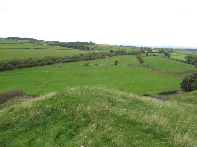
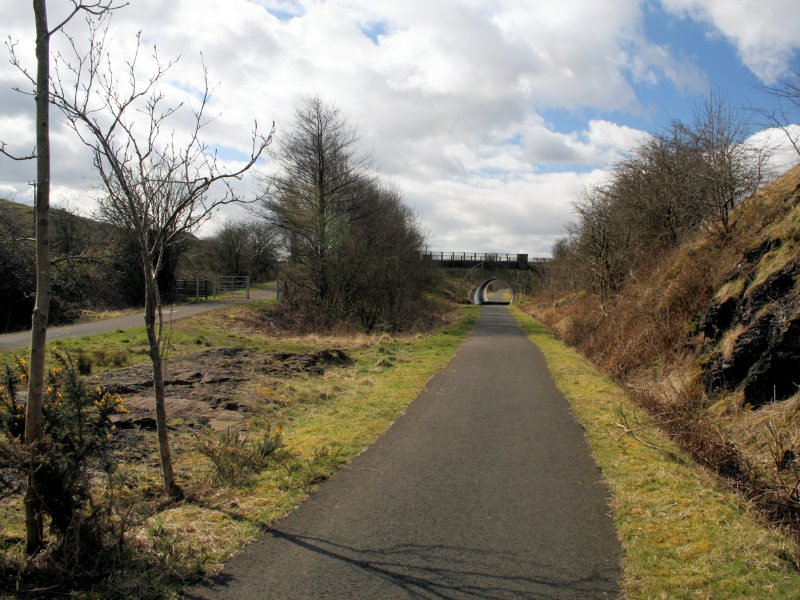
Craigton Wood is a picturesque forest located in Renfrewshire, Scotland. Situated just outside the town of Paisley, this woodland encompasses an area of approximately 200 hectares. It is well-known among locals and visitors alike for its natural beauty and tranquility.

The wood is predominantly composed of native Scottish trees, such as oak, birch, and rowan. These trees create a dense canopy that provides shade and shelter for an array of wildlife species. Birdwatchers frequent the area to catch glimpses of species such as woodpeckers, owls, and various songbirds. Additionally, small mammals like squirrels and rabbits can often be spotted darting through the undergrowth.

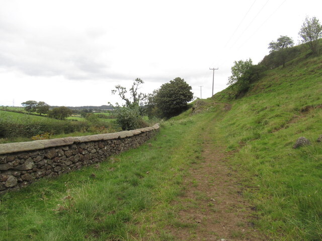
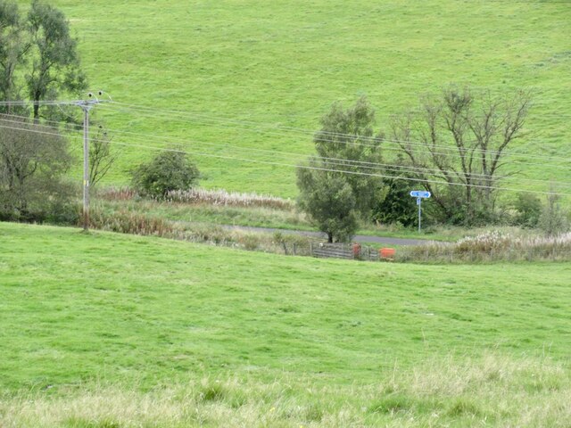
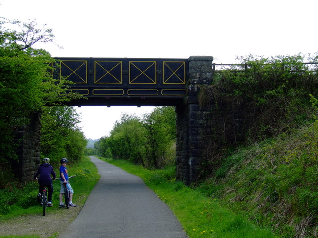
Numerous walking trails wind their way through the wood, allowing visitors to explore its hidden corners and discover its diverse flora and fauna. These paths range in difficulty, catering to both casual strollers and more experienced hikers. One of the highlights of Craigton Wood is the stunning viewpoint at the top of the hill, which offers panoramic vistas of the surrounding countryside.

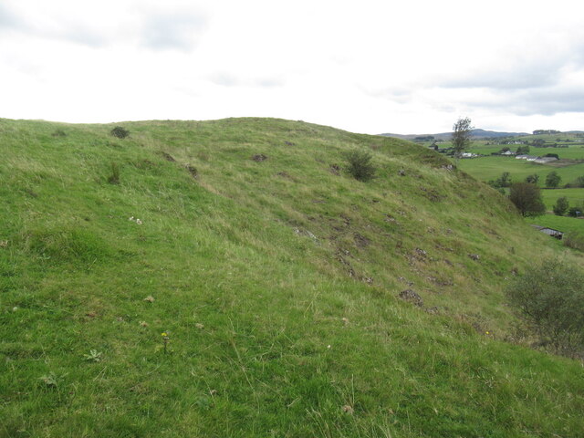
For those interested in history, there are remnants of an old Iron Age fort within the wood, adding an extra layer of intrigue to the area. Archaeologists have conducted extensive research on the site, unearthing artifacts and shedding light on the ancient inhabitants who once called this forest home.

Overall, Craigton Wood is a captivating natural oasis, perfect for those seeking a peaceful retreat or an opportunity to connect with nature. Its accessibility and rich biodiversity make it a cherished destination for outdoor enthusiasts and nature lovers in Renfrewshire.

If you have any feedback on the listing, please let us know in the comments section below.

Craigton Wood Images

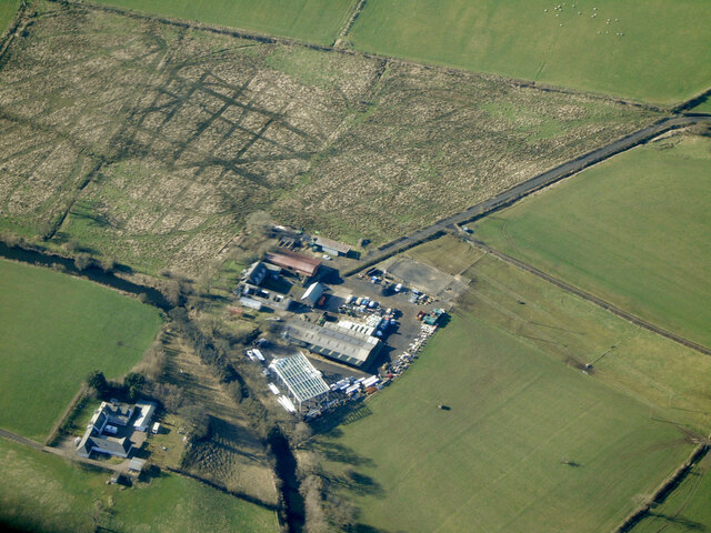
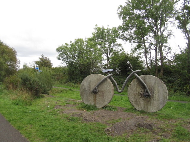
Images are sourced within 2km of 55.828172/-4.5754744 or Grid Reference NS3862. Thanks to Geograph Open Source API. All images are credited.

Thirdpart Hall farm from the air The smaller Warbowie can also be seen across Black Cart Water.
Thirdpart Hall farm from the air
The smaller Warbowie can also be seen across Black Cart Water.
Flintstone Flyer/Bedrock Bike Sculpture moved over from the Airdrie to Bathgate cyclepath when the railway was rebuilt.

Previous site: <a href="https://www.geograph.org.uk/photo/21638">NS8667 : Bedrock Bike</a>
Flintstone Flyer/Bedrock Bike
Sculpture moved over from the Airdrie to Bathgate cyclepath when the railway was rebuilt. Previous site: NS8667 : Bedrock Bike
Path under Kenmure Hill
Kenmure Hill
Kenmure Hill
View off Kenmure Hill
St Brydes View from Kenmure Hill
St Brydes
View from Kenmure Hill
Pond and trackbed The Lochwinnoch cycle path seen from Kenmure Hill.
Pond and trackbed
The Lochwinnoch cycle path seen from Kenmure Hill.
Signpost on the railway walk The Lochwinnoch cycle path seen from Kenmure Hill.
Signpost on the railway walk
The Lochwinnoch cycle path seen from Kenmure Hill.
National Cycle Network Route 7 A larger than life bike sculpture made of mill wheels, near Bridesmill Road bridge.
National Cycle Network Route 7
A larger than life bike sculpture made of mill wheels, near Bridesmill Road bridge.
National Cycle Network Route 7 Looking towards Bridesmill Road, near Howwood.
National Cycle Network Route 7
Looking towards Bridesmill Road, near Howwood.
National Cycle Network Route 7 Bridge number 17.
National Cycle Network Route 7
Bridge number 17.
National Cycle Network Route 7 Heading west towards bridge number 17.
National Cycle Network Route 7
Heading west towards bridge number 17.
National Cycle Network Route 7 Looking towards Kilbarchan.
National Cycle Network Route 7
Looking towards Kilbarchan.
National Cycle Network Route 7 Looking towards Lochwinnoch.
National Cycle Network Route 7
Looking towards Lochwinnoch.
National Cycle Network Route 7 Between Kilbarchan and Lochwinnoch.
National Cycle Network Route 7
Between Kilbarchan and Lochwinnoch.
Bridesmill Road Viewed from the lay-by at National Cycle Network Route 7
Bridesmill Road
Viewed from the lay-by at National Cycle Network Route 7
Track off Bridesmill Road On the outskirts of Howwood.
Track off Bridesmill Road
On the outskirts of Howwood.
Bridesmill Road At the path to National Cycle Network Route 7.
Bridesmill Road
At the path to National Cycle Network Route 7.
Show me another place!

Craigton Wood is located at Grid Ref: NS3862 (Lat: 55.828172, Lng: -4.5754744)

Unitary Authority: Renfrewshire

Police Authority: Renfrewshire and Inverclyde

What 3 Words

///pythons.professed.loops. Near Kilbarchan, Renfrewshire

Nearby Locations

Craigton Wood

Related Wikis

Castle Semple railway station

Castle Semple railway station was intended to be a railway station that would have served the village of Howwood, Renfrewshire, Scotland as part of the...

Kilbarchan

Kilbarchan (; Scottish Gaelic: Cill Bhearchain) is a village and civil parish in central Renfrewshire, in the west central Lowlands of Scotland. The village...

Kilbarchan railway station

Kilbarchan railway station was a railway station serving the village of Kilbarchan, Renfrewshire, Scotland. The station was part of the Dalry and North...

Renfrewshire

Renfrewshire () (Scots: Renfrewshire; Scottish Gaelic: Siorrachd Rinn FriĆ¹) is one of the 32 council areas of Scotland. The council area has the same name...

Nearby Amenities

Located within 500m of 55.828172,-4.5754744
Power: tower
Source: Bing
Lat/Long: 55.8241852/-4.5769068
Power: pole
Lat/Long: 55.8251292/-4.5806976
Power: pole
Lat/Long: 55.8249853/-4.5794414
Power: pole
Lat/Long: 55.8250672/-4.5783227
Power: pole
Lat/Long: 55.8251432/-4.5771874
Power: pole
Lat/Long: 55.8252509/-4.5756208
Power: pole
Lat/Long: 55.8254849/-4.5746938
Power: pole
Lat/Long: 55.8260419/-4.5736647
Power: pole
Lat/Long: 55.8264655/-4.5730085
Power: pole
Lat/Long: 55.8268142/-4.5724398
Power: pole
Lat/Long: 55.8271793/-4.5718773
Power: pole
Lat/Long: 55.8279492/-4.5709691
Power: pole
Lat/Long: 55.8285015/-4.5703691
Power: pole
Lat/Long: 55.8291099/-4.5697525
Power: pole
Lat/Long: 55.8296926/-4.56914
Power: pole
Lat/Long: 55.8305385/-4.5695077
Power: pole
Lat/Long: 55.8311481/-4.5697994
Power: pole
Lat/Long: 55.8250426/-4.5739814
Power: pole
Lat/Long: 55.8248121/-4.5735689
Power: pole
Lat/Long: 55.8242539/-4.5726315
Power: pole
Lat/Long: 55.8278872/-4.5706753
Power: pole
Lat/Long: 55.8276988/-4.5696379
Power: pole
Lat/Long: 55.8275607/-4.5688755
Power: pole
Lat/Long: 55.8275163/-4.5676568
The data included in this document is from www.openstreetmap.org. The data is made available under ODbL.

Have you been to Craigton Wood?

Leave your review of Craigton Wood below (or comments, questions and feedback).