Gleddoch Plantation
Wood, Forest in Renfrewshire
Scotland
Gleddoch Plantation
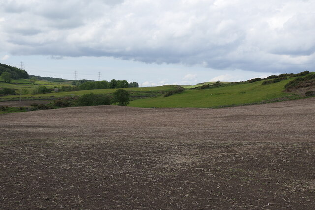
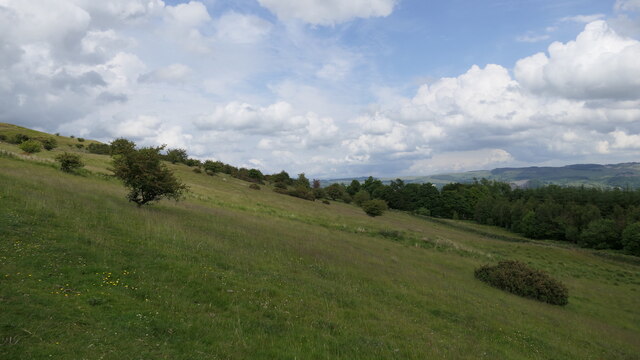
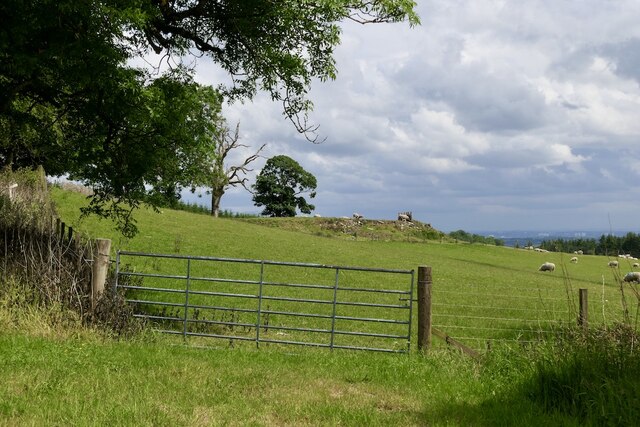
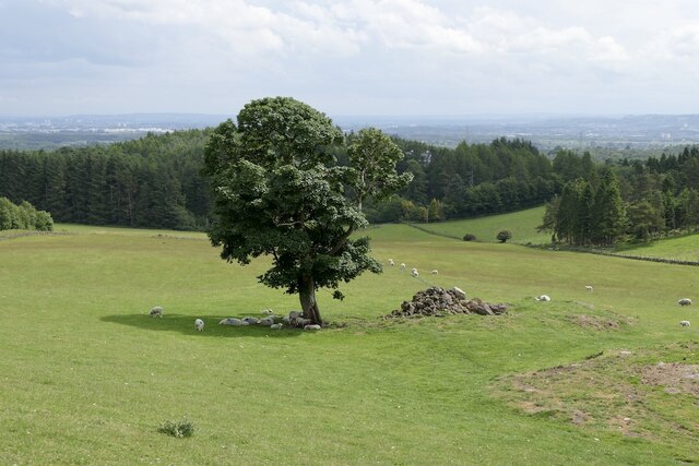
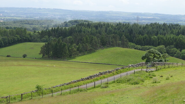
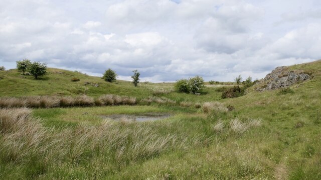
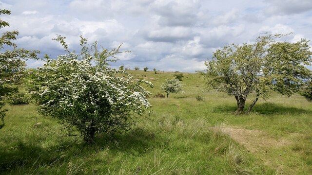
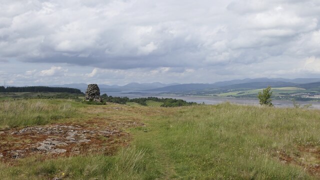
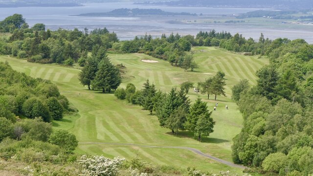
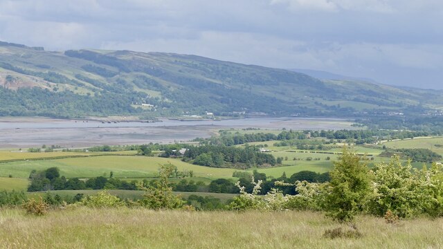
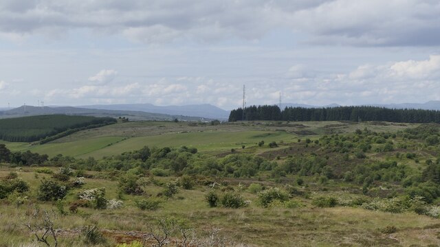
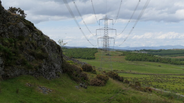
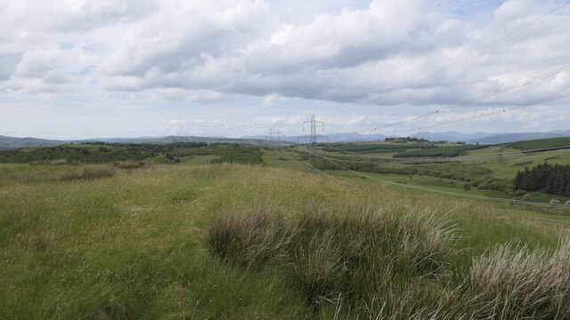
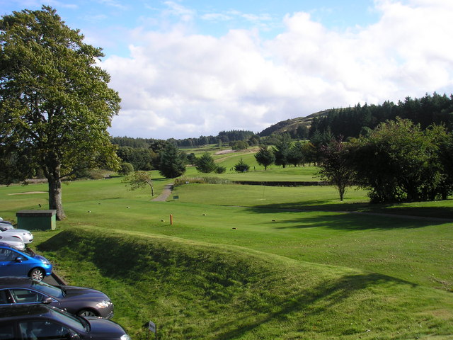
Gleddoch Plantation is a picturesque woodland located in Renfrewshire, Scotland. Encompassing an area of approximately 1,500 acres, it is considered one of the most scenic and well-preserved woodlands in the region. The plantation is situated on the slopes of the Clyde Muirshiel Regional Park, offering breathtaking views of the surrounding countryside and the River Clyde.
The woodland is predominantly composed of mature trees, including oak, beech, and birch, which provide a dense canopy and a rich habitat for various flora and fauna. The diverse range of plant species found in Gleddoch Plantation includes bluebells, wild garlic, and wood sorrel, creating a vibrant and colorful display throughout the year.
The plantation is home to an array of wildlife, including red squirrels, roe deer, and a variety of bird species. Bird enthusiasts can often spot buzzards, woodpeckers, and owls, among others, making it an ideal destination for birdwatching.
Gleddoch Plantation offers several well-maintained walking trails, allowing visitors to explore the woodland at their own pace. These trails provide an excellent opportunity to immerse oneself in nature, enjoy peaceful surroundings, and learn about the diverse ecosystem present in the area.
In addition to its natural beauty, Gleddoch Plantation holds historical significance. It was originally part of the Gleddoch Estate, owned by the Stewart family since the 16th century. The plantation played a vital role in the timber industry during the 19th century, supplying wood for shipbuilding and other industries.
Overall, Gleddoch Plantation is a stunning and historically significant woodland, providing visitors with a tranquil and enriching experience amidst the natural beauty of Renfrewshire.
If you have any feedback on the listing, please let us know in the comments section below.
Gleddoch Plantation Images
Images are sourced within 2km of 55.914789/-4.5858749 or Grid Reference NS3872. Thanks to Geograph Open Source API. All images are credited.


Gleddoch Plantation is located at Grid Ref: NS3872 (Lat: 55.914789, Lng: -4.5858749)
Unitary Authority: Renfrewshire
Police Authority: Renfrewshire and Inverclyde
What 3 Words
///grower.minder.playback. Near Dumbarton, West Dunbartonshire
Nearby Locations
Related Wikis
Gleddoch House Hotel & Golf Club
Gleddoch House Hotel & Golf Club is situated in a 360-acre estate in Langbank, Renfrewshire. == Hotel == Gleddoch House is a Victorian mansion built by...

Langbank
Langbank is a village on the south bank of the River Clyde in Renfrewshire, Scotland. It is 9.3 miles/15 km northwest from Paisley (Renfrewshire) and 3...

Langbank railway station
Langbank railway station serves the village of Langbank in Renfrewshire, Scotland. The station is on the Inverclyde Line, 16 miles (26 km) west of Glasgow...

Finlaystone House
Finlaystone House is a mansion and estate in the Inverclyde council area and historic county of Renfrewshire. It lies near the southern bank of the Firth...

Formakin House
Formakin House is an early 20th-century mansion and estate in Renfrewshire, Scotland. It is located 2 kilometres (1.2 mi) south of the Firth of Clyde,...

Siege of Dumbarton
The siege of Dumbarton was a successful four-month siege of the Brittonic fortress at Dumbarton Rock in 870, initiated by the Viking leaders Amlaíb, King...
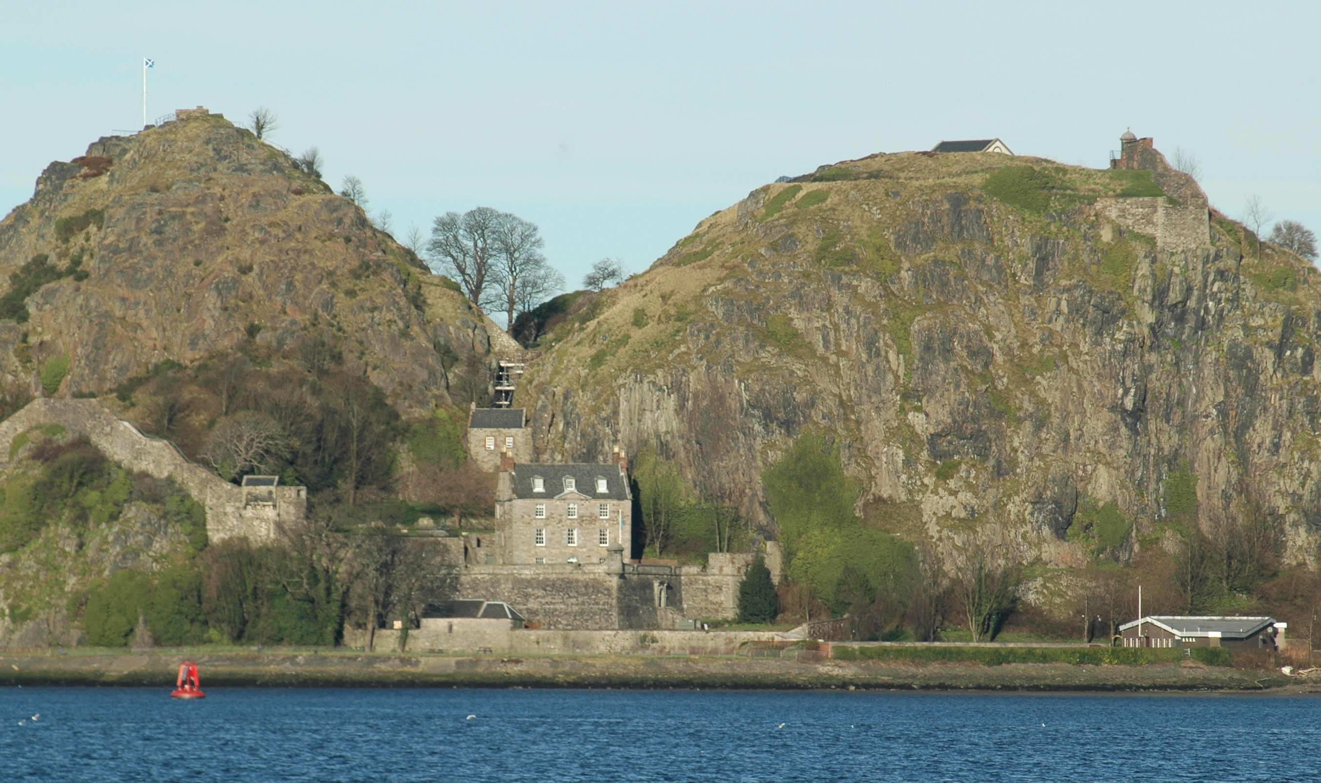
Dumbarton Castle
Dumbarton Castle (Scottish Gaelic: Dùn Breatainn, pronounced [t̪unˈpɾʲɛʰt̪ɪɲ]; Welsh: Alt Clut) has the longest recorded history of any stronghold in Scotland...

Keil School
Keil School was a school in Dumbarton, Scotland. After opening as a technical college in 1915 it later became an independent school for boys, then became...
Nearby Amenities
Located within 500m of 55.914789,-4.5858749Have you been to Gleddoch Plantation?
Leave your review of Gleddoch Plantation below (or comments, questions and feedback).