Witchmoss Wood
Wood, Forest in Renfrewshire
Scotland
Witchmoss Wood
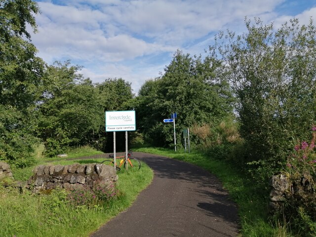
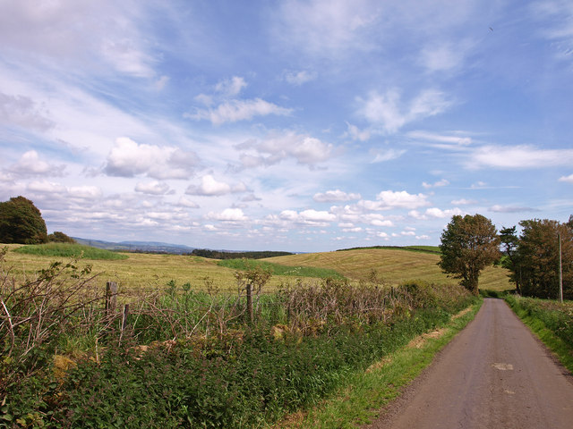
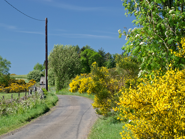
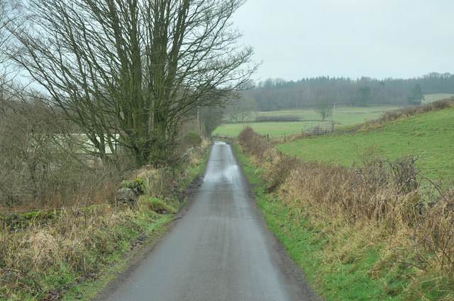
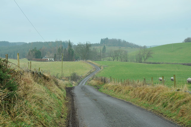
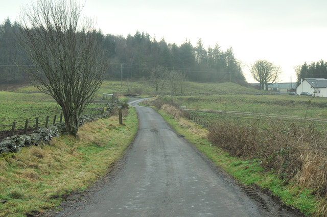
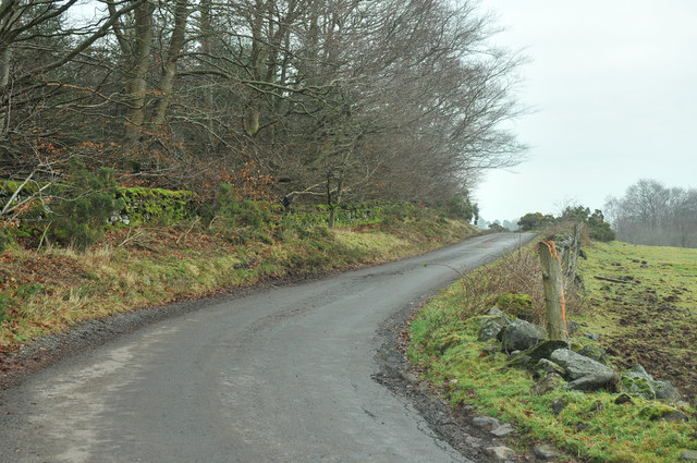
Witchmoss Wood, located in Renfrewshire, Scotland, is a charming woodland area renowned for its natural beauty and rich biodiversity. This ancient forest covers an expansive area of approximately 200 acres, making it a popular destination for nature enthusiasts and hikers alike.
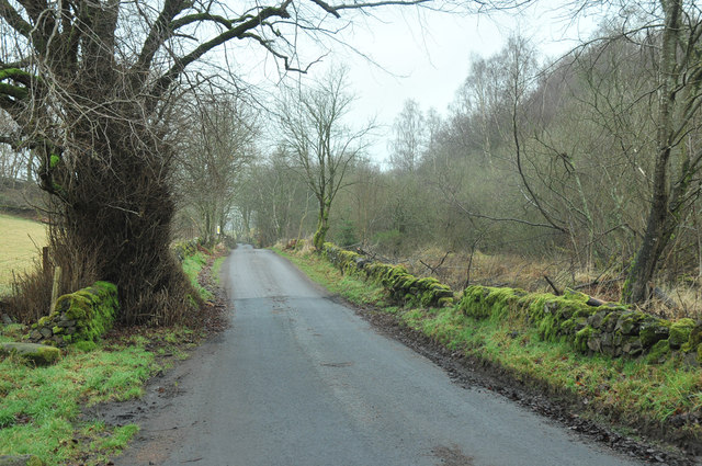
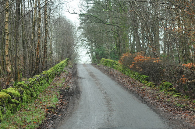
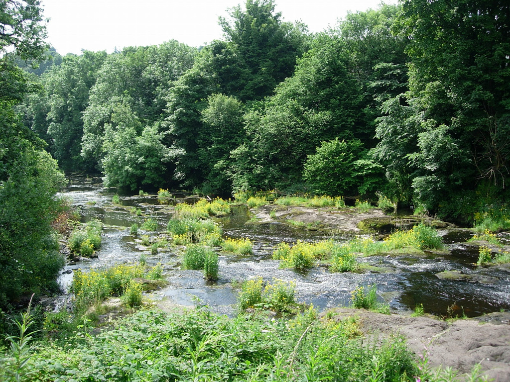
The wood is characterized by its dense canopy of towering trees, predominantly oak and birch, which create a peaceful and secluded atmosphere. The forest floor is adorned with a carpet of lush green moss, giving the wood its distinctive name. This moss-covered terrain adds to the enchanting ambiance of the woodland and provides a habitat for various small creatures, such as insects and amphibians.
Witchmoss Wood is home to a diverse range of flora and fauna, including several species of birds, mammals, and plants. Birdwatchers can catch glimpses of woodland birds like great tits, blue tits, and chaffinches, while lucky visitors may even spot red squirrels darting through the treetops.
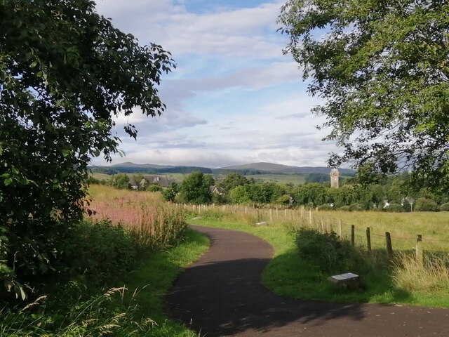
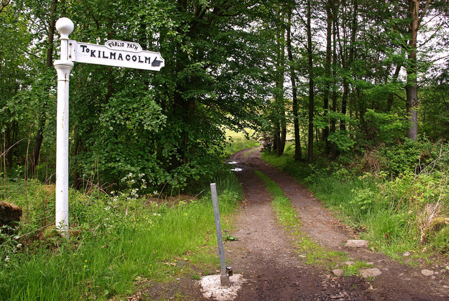
The wood also boasts several walking trails, allowing visitors to explore its beauty at their own pace. These paths wind through the forest, providing glimpses of tranquil streams, picturesque glades, and ancient trees. Along the way, informative signs provide details about the wood's history, ecology, and the importance of conservation efforts.
Witchmoss Wood offers a tranquil retreat from the hustle and bustle of daily life, providing a serene environment where visitors can reconnect with nature. Whether it's a leisurely walk, birdwatching, or simply enjoying the peaceful surroundings, Witchmoss Wood offers an unforgettable experience for all nature enthusiasts.
If you have any feedback on the listing, please let us know in the comments section below.
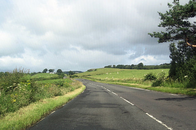
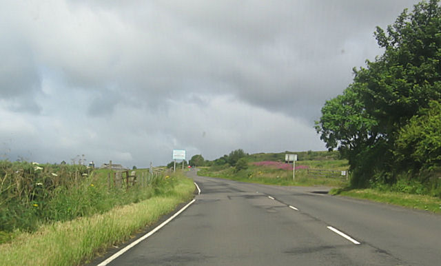
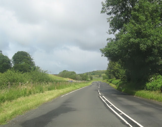
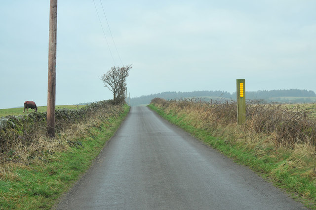
Witchmoss Wood Images
Images are sourced within 2km of 55.881681/-4.5843595 or Grid Reference NS3868. Thanks to Geograph Open Source API. All images are credited.
Witchmoss Wood is located at Grid Ref: NS3868 (Lat: 55.881681, Lng: -4.5843595)
Unitary Authority: Renfrewshire
Police Authority: Renfrewshire and Inverclyde
What 3 Words
///absorbs.guesswork.distracts. Near Houston, Renfrewshire
Nearby Locations
Related Wikis

St Fillan's Kirk, Seat and Well
St Fillan's Kirk, Seat and Well are located in the hamlet of Kilallan, once the main religious centre of the ancient parish of Kilallan (Cill Fhaolain...
Strathgryffe
Strathgryffe or Gryffe Valley (Scottish Gaelic: Srath Ghriobhaidh) is the strath of River Gryffe, which lies within the historic county of Renfrewshire...

Houston and Killellan
Houston and Killellan is a civil parish in the county and council area of Renfrewshire in the west central Lowlands of Scotland. It contains the villages...
Gryffe Castle
Gryffe Castle was a castle existing in 1474, probably about 0.5 miles (0.80 km) north of Bridge of Weir, Renfrewshire, Scotland.The present Gryffe Castle...

Windy Hill, Kilmacolm
Windy Hill or Windyhill is a house designed by Charles Rennie Mackintosh and furnished by him and his wife, Margaret Macdonald, in Kilmacolm, Scotland...

St Peter's Well, Houston
St Peter's Well is a rare surviving example of a holy well house or covered well that was built over the waters of a spring in a field below Greenhill...

Quarrier's Village
Quarrier's Village or Quarriers Village is a small settlement in the civil parish of Kilmacolm in Inverclyde council area and the historic county of Renfrewshire...

Houston, Renfrewshire
Houston ( HOO-stən; Scots: Houstoun), is a village in the council area of Renfrewshire and the larger historic county of the same name in the west central...
Nearby Amenities
Located within 500m of 55.881681,-4.5843595Have you been to Witchmoss Wood?
Leave your review of Witchmoss Wood below (or comments, questions and feedback).