Balminnoch Wood
Wood, Forest in Ayrshire
Scotland
Balminnoch Wood
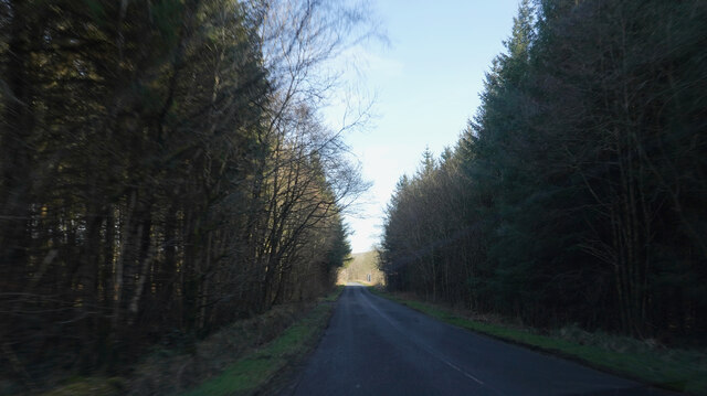
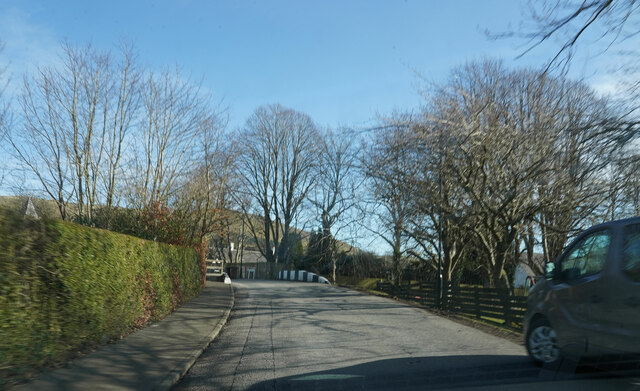
Balminnoch Wood is a charming forest located in Ayrshire, Scotland. Covering an area of approximately 200 acres, it is a haven for nature enthusiasts and outdoor adventurers alike. The woodland is situated near the village of Straiton, offering easy access to visitors from nearby towns and cities.
The wood is predominantly composed of native deciduous trees, including oak, birch, and ash, creating a picturesque landscape throughout the year. Its rich biodiversity supports a wide range of flora and fauna, making it a perfect habitat for various species of birds, insects, and small mammals. The forest floor is adorned with a vibrant carpet of bluebells during springtime, creating a magical sight for visitors.
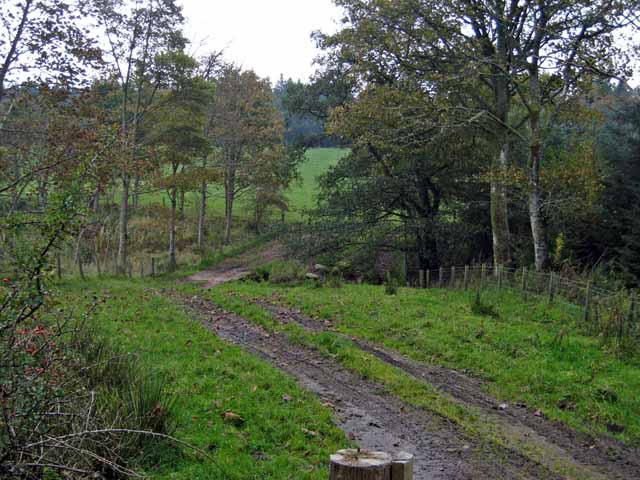
Balminnoch Wood offers a network of well-maintained walking trails, allowing visitors to explore its beauty at their own pace. The paths wind through the woodland, passing by serene ponds and babbling brooks, providing a tranquil atmosphere for relaxation and contemplation. Along the way, there are numerous benches and picnic spots, inviting visitors to pause and immerse themselves in the peaceful surroundings.
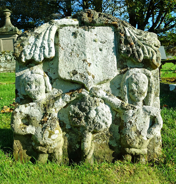
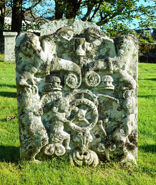
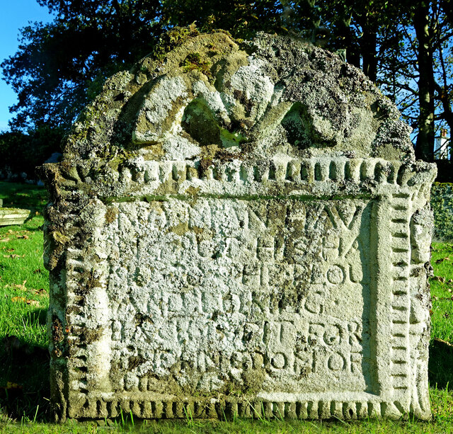
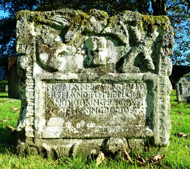
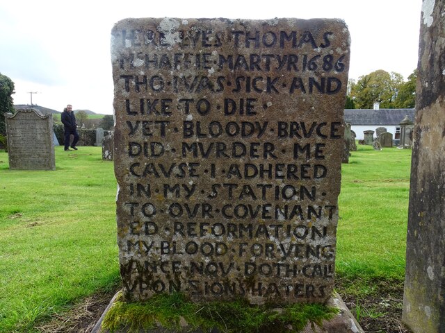
The forest also holds historical significance, with remnants of ancient settlements and burial cairns scattered throughout its grounds. These archaeological features serve as a reminder of the area's rich cultural heritage and offer insights into the lives of early inhabitants.
Overall, Balminnoch Wood is a delightful destination for nature lovers, offering a diverse range of flora and fauna, scenic walking trails, and a glimpse into the past. Whether visitors seek solitude, wildlife spotting, or a family outing, this enchanting woodland provides an ideal setting for an unforgettable experience in the heart of Ayrshire.
If you have any feedback on the listing, please let us know in the comments section below.
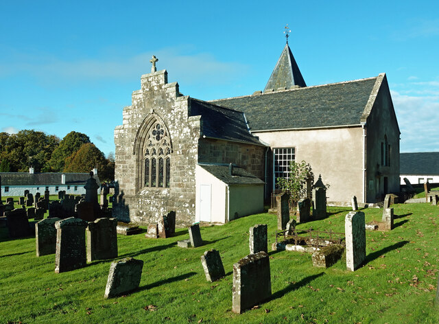
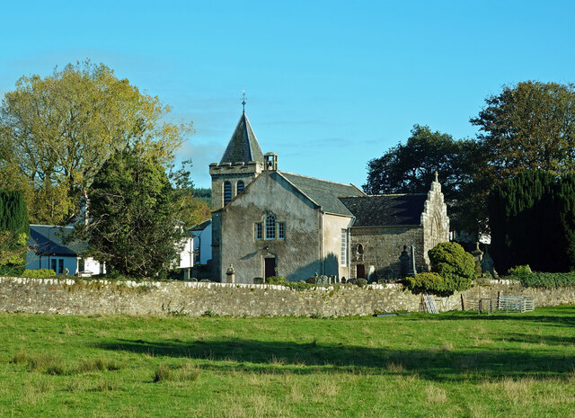
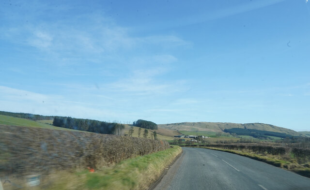
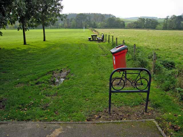
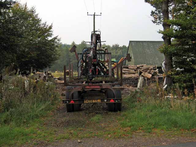
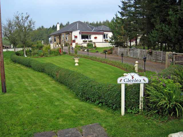
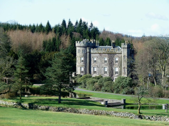
Balminnoch Wood Images
Images are sourced within 2km of 55.320352/-4.5597364 or Grid Reference NS3705. Thanks to Geograph Open Source API. All images are credited.


Balminnoch Wood is located at Grid Ref: NS3705 (Lat: 55.320352, Lng: -4.5597364)
Unitary Authority: South Ayrshire
Police Authority: Ayrshire
What 3 Words
///flamenco.stencil.painting. Near Patna, East Ayrshire
Nearby Locations
Related Wikis

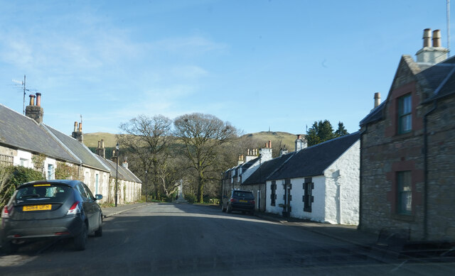
Straiton
Straiton is a village on the River Girvan in South Ayrshire in Scotland. It lies in the hills between Kirkmichael, Dalmellington, Crosshill, and Maybole...

Blairquhan Castle
Blairquhan ( blair-WHAHN, Scots: Blairwhan) is a Regency era castle near Maybole in South Ayrshire, Scotland. It was the historic home of the Hunter-Blair...
Cloncaird Castle
Cloncaird Castle is located near the small village of Kirkmichael, around 6 kilometres (3.7 mi) east of Maybole in South Ayrshire, Scotland. The castle...

Ayr, Carrick and Cumnock (UK Parliament constituency)
Ayr, Carrick and Cumnock is a county constituency represented in the House of Commons of the Parliament of the United Kingdom. It was created for the 2005...
Nearby Amenities
Located within 500m of 55.320352,-4.5597364Have you been to Balminnoch Wood?
Leave your review of Balminnoch Wood below (or comments, questions and feedback).