Drumatier Plantation
Wood, Forest in Wigtownshire
Scotland
Drumatier Plantation
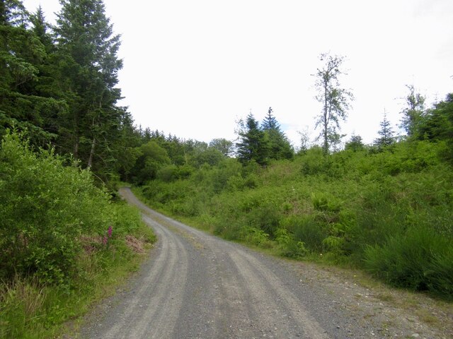
Drumatier Plantation is located in Wigtownshire, a historic county in southwest Scotland. It is a sprawling woodland area known for its picturesque beauty and diverse range of trees and wildlife. The plantation covers a vast area, providing a tranquil and serene environment for nature enthusiasts and visitors alike.
The woodland is predominantly made up of various species of trees, including oak, beech, birch, and pine. These trees provide a rich and vibrant canopy, creating a haven for a wide array of flora and fauna. The plantation is home to numerous bird species, including woodpeckers, owls, and various songbirds, making it a popular spot for birdwatching.
Drumatier Plantation offers several well-marked trails that wind through the forest, providing visitors with the opportunity to explore its natural wonders. These paths cater to all levels of fitness, from leisurely strolls to more challenging hikes. Along the trails, visitors can discover charming clearings, babbling brooks, and secluded picnic spots, inviting them to relax and soak in the serenity of the surroundings.
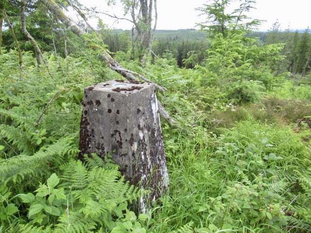
The plantation is managed by local authorities who ensure the preservation of its natural habitat. They work diligently to maintain the ecosystem, including regular tree planting and conservation efforts. Drumatier Plantation is a popular destination for both locals and tourists, attracting nature lovers, hikers, and those seeking a peaceful retreat in the heart of nature.
In conclusion, Drumatier Plantation in Wigtownshire is a breathtaking woodland area that offers a unique and enriching experience to all who visit. With its diverse range of trees, abundant wildlife, and well-maintained trails, it is a must-see destination for anyone seeking to immerse themselves in the beauty of Scotland's natural landscapes.
If you have any feedback on the listing, please let us know in the comments section below.
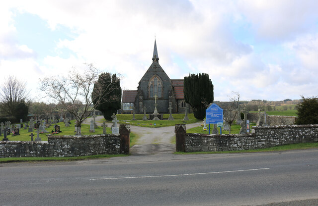
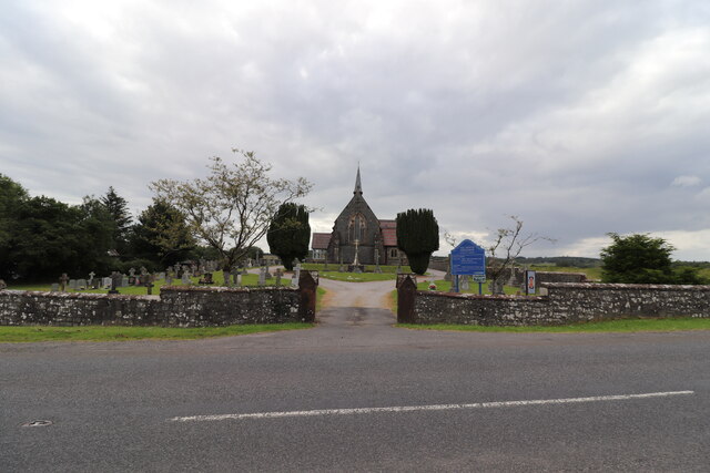
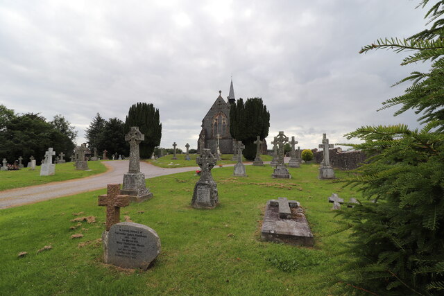
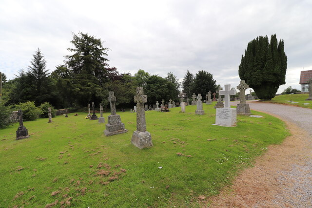
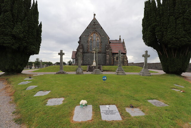
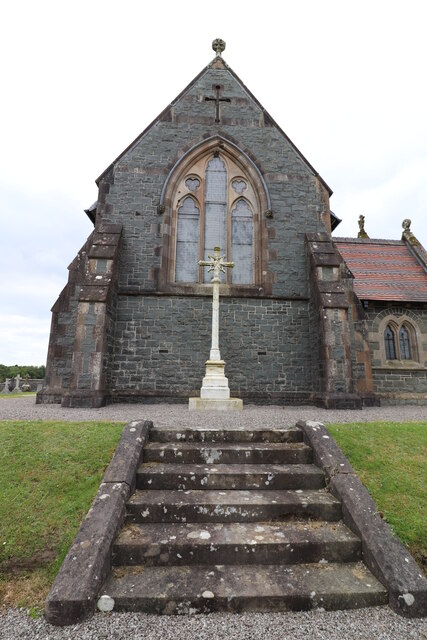
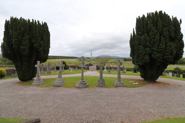
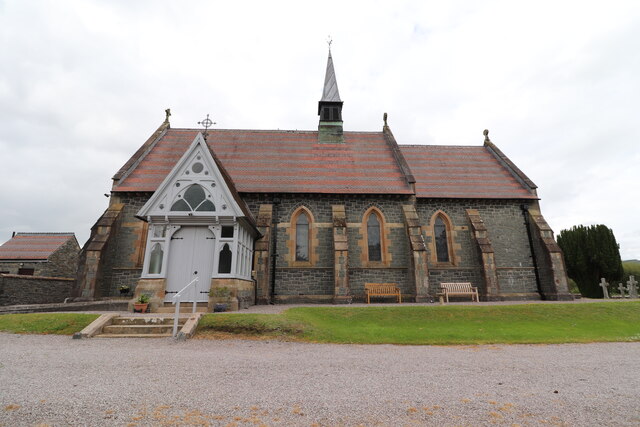
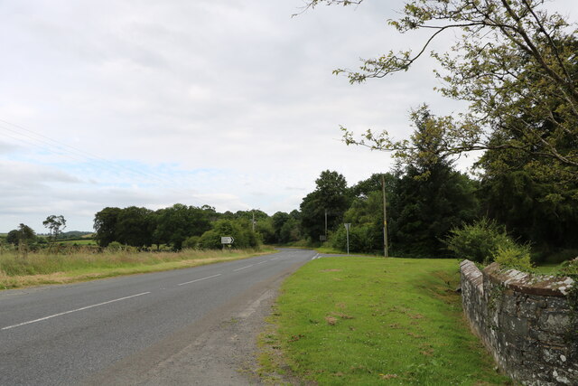
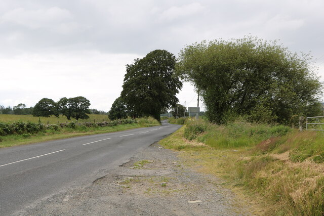
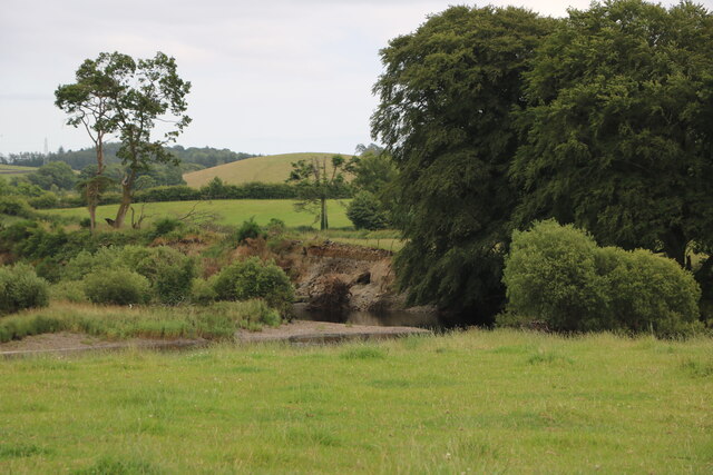
Drumatier Plantation Images
Images are sourced within 2km of 54.983879/-4.539784 or Grid Reference NX3768. Thanks to Geograph Open Source API. All images are credited.
Drumatier Plantation is located at Grid Ref: NX3768 (Lat: 54.983879, Lng: -4.539784)
Unitary Authority: Dumfries and Galloway
Police Authority: Dumfries and Galloway
What 3 Words
///appeal.tallest.collected. Near Newton Stewart, Dumfries & Galloway
Nearby Locations
Related Wikis

Wood of Cree
Wood of Cree is a nature reserve in Dumfries and Galloway, Scotland. Located approximately 4 miles (6.4 km) north north-west of Newton Stewart, it is managed...

Newton Stewart F.C.
Newton Stewart Football Club are a football club from the town of Newton Stewart in the Dumfries and Galloway area of Scotland. Formed in 1880, as Newton...

Minnigaff
Minnigaff is a village and civil parish in the historic county of Kirkcudbrightshire in Dumfries and Galloway, Scotland. Lead was discovered there in...
Douglas Ewart High School
Douglas Ewart High School was opened in 1922 in Newton Stewart, Scotland. It was formed by the amalgamation of the Douglas Free School opened in 1834...

Newton Stewart
Newton Stewart (Gd: Baile Ùr nan Stiùbhartach) is a former burgh town in the historical county of Wigtownshire in Dumfries and Galloway, southwest Scotland...
Penninghame
Penninghame in Wigtownshire, Dumfries and Galloway, Scotland, is a civil parish area, 8 miles (N. W.) from Wigtown. The area is approx 16 miles in length...

Newton Stewart railway station
Newton Stewart railway station served the town of Newton Stewart, Dumfries and Galloway, Scotland from 1861 to 1965 on the Portpatrick and Wigtownshire...

Newton Stewart Hospital
Newton Stewart Hospital is a health facility in Newton Stewart, Dumfries and Galloway, Scotland. It is managed by NHS Dumfries and Galloway. == History... ==
Nearby Amenities
Located within 500m of 54.983879,-4.539784Have you been to Drumatier Plantation?
Leave your review of Drumatier Plantation below (or comments, questions and feedback).