Stellock Plantation
Wood, Forest in Wigtownshire
Scotland
Stellock Plantation
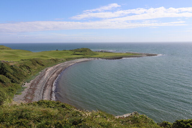
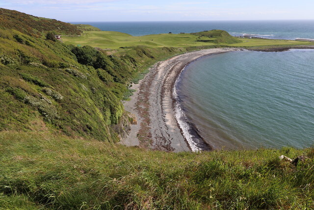
Stellock Plantation is a picturesque woodland located in the rural area of Wigtownshire, Scotland. Covering an expansive area, the plantation is known for its lush greenery and diverse range of trees, making it a haven for nature enthusiasts and hikers.
The woodland boasts a rich history, with records dating back several centuries. Originally owned by the Stellock family, the plantation was primarily used for timber production, providing valuable resources for the local community. Today, it is managed by the local forestry authority, ensuring its preservation and sustainable use.
Visitors to Stellock Plantation can enjoy a peaceful and tranquil environment, surrounded by the beauty of nature. The woodland is home to a variety of tree species, including oak, beech, and pine, creating a diverse and vibrant ecosystem. Wildlife enthusiasts can spot numerous species of birds, such as woodpeckers and owls, as well as small mammals like red squirrels and foxes.
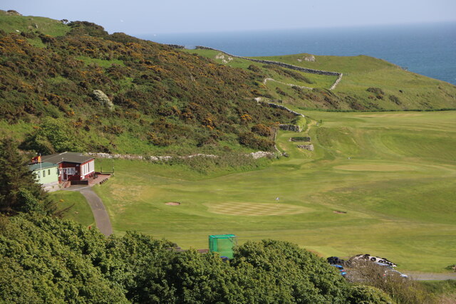
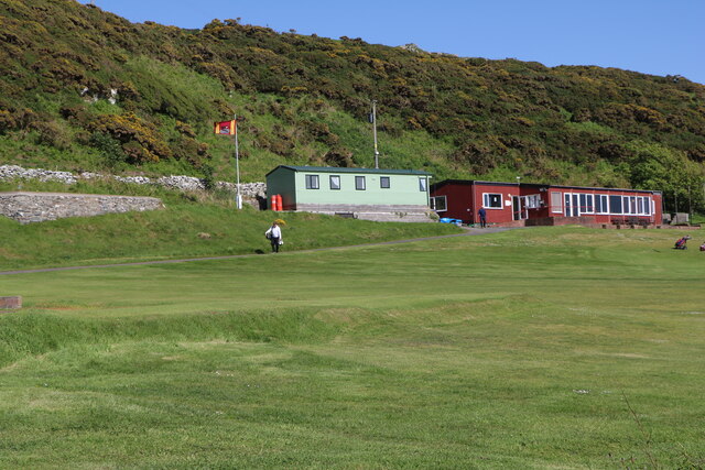
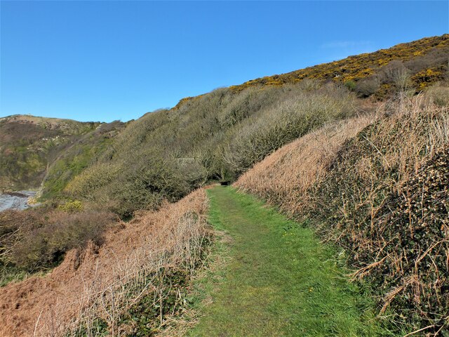
The plantation offers various walking trails, allowing visitors to explore the area at their own pace. These well-maintained paths cater to different levels of difficulty, ensuring accessibility for all visitors. Along the way, benches and picnic spots are strategically placed, providing opportunities for relaxation and appreciation of the stunning surroundings.
Stellock Plantation is a true gem in Wigtownshire, offering a peaceful escape from the hustle and bustle of everyday life. Its natural beauty and historical significance make it a must-visit destination for anyone seeking a connection with nature and a glimpse into the region's past.
If you have any feedback on the listing, please let us know in the comments section below.
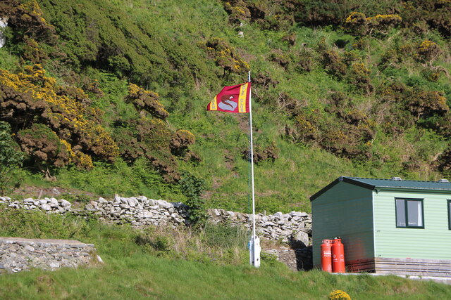
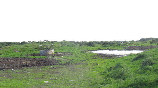
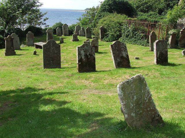
Stellock Plantation Images
Images are sourced within 2km of 54.743237/-4.5302101 or Grid Reference NX3741. Thanks to Geograph Open Source API. All images are credited.


Stellock Plantation is located at Grid Ref: NX3741 (Lat: 54.743237, Lng: -4.5302101)
Unitary Authority: Dumfries and Galloway
Police Authority: Dumfries and Galloway
What 3 Words
///modest.recorders.tourist. Near Whithorn, Dumfries & Galloway
Nearby Locations
Related Wikis

Wren's Egg
The Wren's Egg (grid reference NX 3610 4199) is the name given to a set of late Neolithic or Bronze Age stone monuments in the parish of Glasserton, Wigtownshire...

Monreith
Monreith ([mɒn'ri:θ] / 'mon-REETH'; Scottish Gaelic: Am Monadh Rèidh) is a small seaside village in the Machars, in the historical county of Wigtownshire...

Monreith House
Monreith House is a category A listed Georgian mansion located 1.5 kilometres (0.93 mi) east of the village of Port William in Mochrum parish in the historical...

Drumtroddan standing stones
The Drumtroddan standing stones (grid reference NX 36449 44300) are a small Neolithic or Bronze Age stone alignment in the parish of Mochrum, Wigtownshire...

Port William, Dumfries and Galloway
Port William (Scottish Gaelic: Cill na Tràghad) is a fishing village in the parish of Mochrum in the historical county of Wigtownshire, Dumfries and Galloway...
Glasserton
Glasserton is a civil parish in Dumfries and Galloway, south-west Scotland. It is on the Machars peninsula, in the traditional county of Wigtownshire....
Rispain Camp
Rispain Camp is the remains of a fortified farmstead 1 mile west of Whithorn, Dumfries and Galloway, Scotland. It is one of the major Iron Age archaeological...
Mochrum
Mochrum () is a coastal civil and Church of Scotland parish situated to the east of Luce Bay on the Machars peninsula and 8 miles (13 km) southwest of...
Nearby Amenities
Located within 500m of 54.743237,-4.5302101Have you been to Stellock Plantation?
Leave your review of Stellock Plantation below (or comments, questions and feedback).