Courtshaw Wood
Wood, Forest in Renfrewshire
Scotland
Courtshaw Wood
The requested URL returned error: 429 Too Many Requests
If you have any feedback on the listing, please let us know in the comments section below.
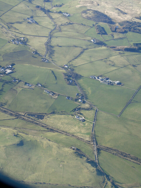
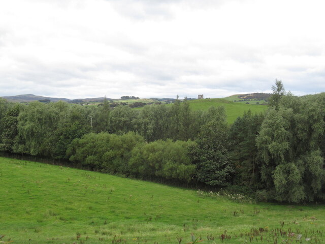
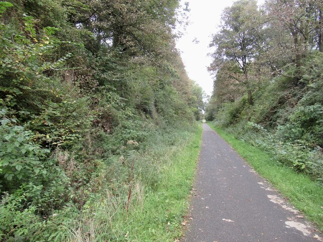
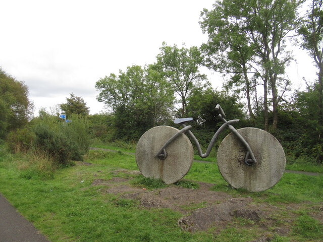
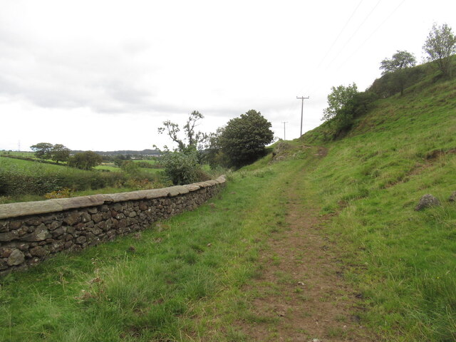
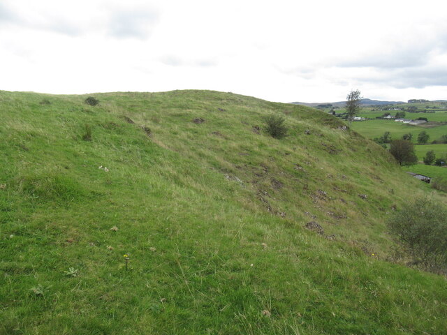
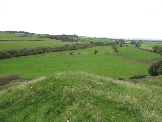
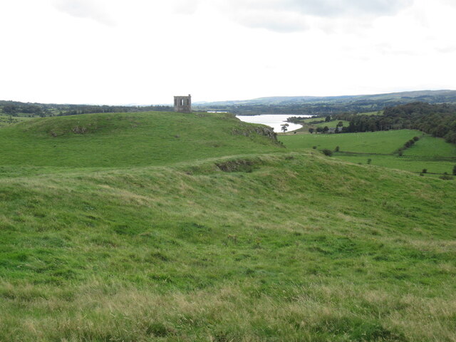
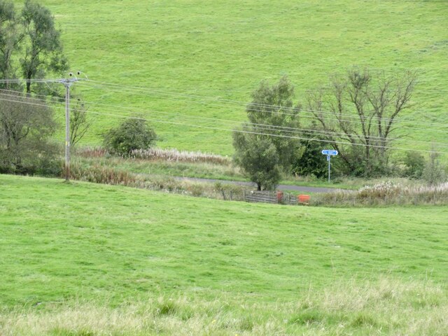
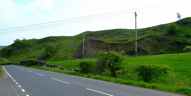
Courtshaw Wood Images
Images are sourced within 2km of 55.806604/-4.5996169 or Grid Reference NS3760. Thanks to Geograph Open Source API. All images are credited.


Courtshaw Wood is located at Grid Ref: NS3760 (Lat: 55.806604, Lng: -4.5996169)
Unitary Authority: Renfrewshire
Police Authority: Renfrewshire and Inverclyde
What 3 Words
///taller.debate.inflates. Near Lochwinnoch, Renfrewshire
Nearby Locations
Related Wikis
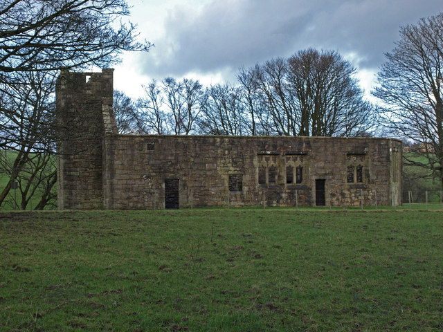
Castle Semple Church
Castle Semple Collegiate Church is located in Renfrewshire, Scotland. It is situated near the eastern end of Castle Semple Loch, within Clyde Muirshiel...

Castle Semple
Castle Semple (previously Castletoun) is a former mansion house located in Renfrewshire, Scotland. It is situated near the eastern end of Castle Semple...

Castle Semple Rowing Club
Castle Semple Rowing Club is a rowing club on the Castle Semple Loch, based at Lochwinnoch, Renfrewshire, Central Lowlands, Scotland. The club is affiliated...

Clyde Muirshiel Regional Park
Clyde Muirshiel Regional Park is the collective name for areas of countryside set aside for conservation and recreation on the South Clyde estuary in Scotland...
Nearby Amenities
Located within 500m of 55.806604,-4.5996169Have you been to Courtshaw Wood?
Leave your review of Courtshaw Wood below (or comments, questions and feedback).