Broad Wood
Wood, Forest in Ayrshire
Scotland
Broad Wood
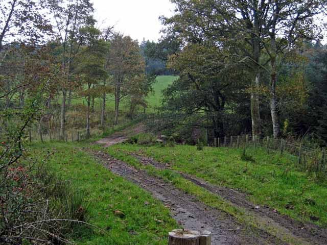
Broad Wood is a vast forested area located in Ayrshire, Scotland. Covering an expansive area of land, it is a significant natural landmark in the region. The wood is characterized by a dense collection of various tree species, creating a lush and vibrant ecosystem.
The forest is predominantly composed of oak, beech, and birch trees, which thrive in the region's temperate climate. The canopy formed by these towering trees provides shade and shelter, creating a cool and tranquil environment within the wood. The undergrowth is rich with ferns, moss, and various wildflowers, adding to the overall biodiversity of the area.
Broad Wood is renowned for its diverse wildlife, serving as a habitat for numerous species. It is a haven for birds, with various species such as woodpeckers, owls, and songbirds calling the forest their home. Mammals such as foxes, deer, and badgers can also be spotted within the wood, making it a popular destination for wildlife enthusiasts and nature lovers.
The forest offers several walking trails and paths, allowing visitors to explore its beauty and experience the serenity of nature. These paths wind through the wood, providing opportunities to observe and appreciate the flora and fauna that thrive in this natural habitat. With its picturesque landscapes and peaceful ambiance, Broad Wood is a favorite destination for outdoor activities such as hiking, picnicking, and photography.
Overall, Broad Wood in Ayrshire is a captivating forest that showcases the beauty of nature in Scotland. Its diverse ecosystem, abundant wildlife, and scenic landscapes make it a cherished location for both locals and tourists alike.
If you have any feedback on the listing, please let us know in the comments section below.
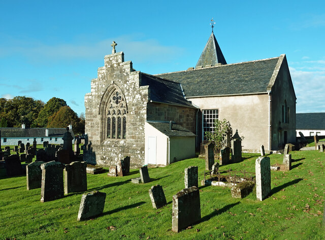
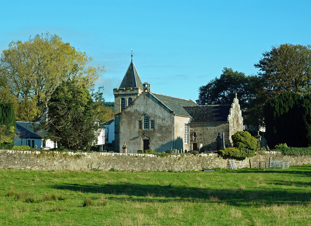
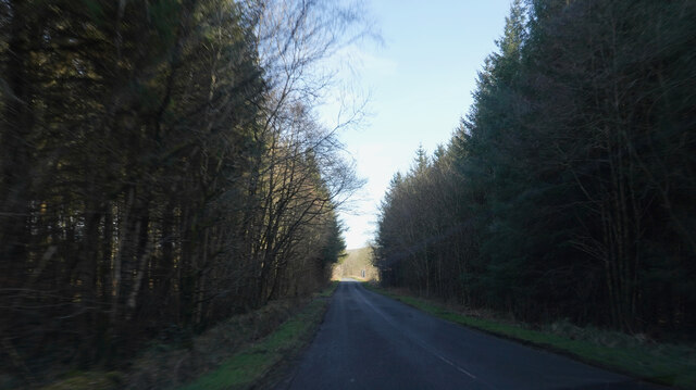
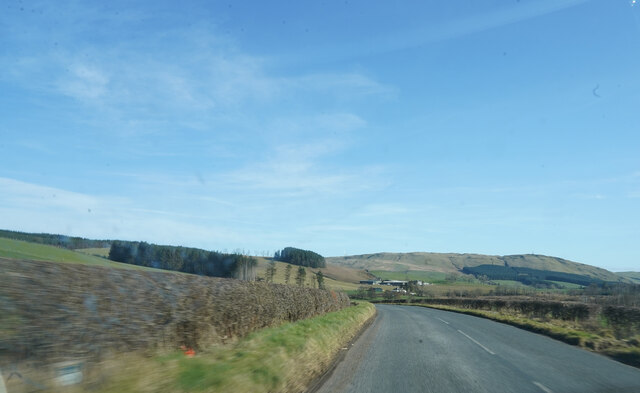
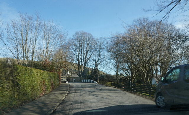
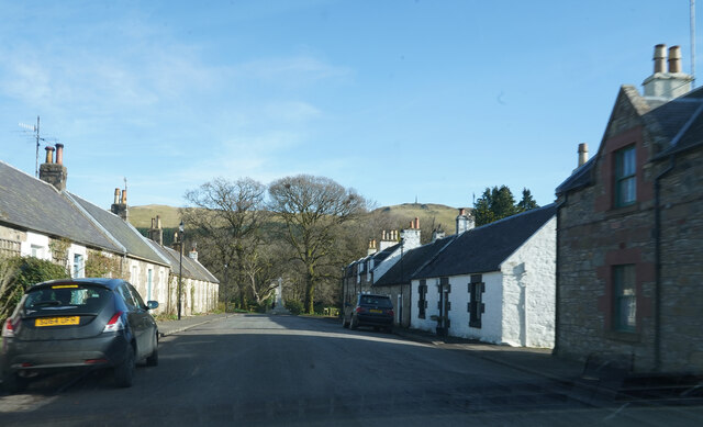
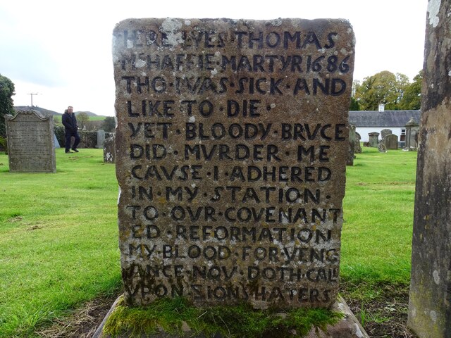
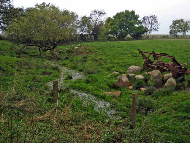
Broad Wood Images
Images are sourced within 2km of 55.3135/-4.5713676 or Grid Reference NS3605. Thanks to Geograph Open Source API. All images are credited.


Broad Wood is located at Grid Ref: NS3605 (Lat: 55.3135, Lng: -4.5713676)
Unitary Authority: South Ayrshire
Police Authority: Ayrshire
What 3 Words
///crash.rapid.stun. Near Patna, East Ayrshire
Nearby Locations
Related Wikis

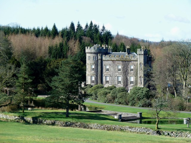
Blairquhan Castle
Blairquhan ( blair-WHAHN, Scots: Blairwhan) is a Regency era castle near Maybole in South Ayrshire, Scotland. It was the historic home of the Hunter-Blair...

Straiton
Straiton is a village on the River Girvan in South Ayrshire in Scotland. It lies in the hills between Kirkmichael, Dalmellington, Crosshill, and Maybole...
Cloncaird Castle
Cloncaird Castle is located near the small village of Kirkmichael, around 6 kilometres (3.7 mi) east of Maybole in South Ayrshire, Scotland. The castle...

Ayr, Carrick and Cumnock (UK Parliament constituency)
Ayr, Carrick, and Cumnock is a county constituency represented in the House of Commons of the Parliament of the United Kingdom. It was created for the...
Nearby Amenities
Located within 500m of 55.3135,-4.5713676Have you been to Broad Wood?
Leave your review of Broad Wood below (or comments, questions and feedback).