Merton Hall Moss

Wood, Forest in Wigtownshire

Scotland

Merton Hall Moss

Pond below Culbratten Hill Fed by Merton Burn.
With hides for wild-fowling.
Pond below Culbratten Hill Credit: Russel Wills

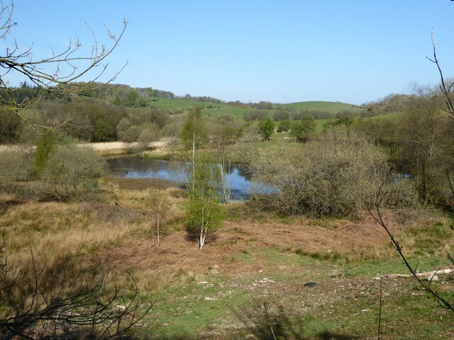
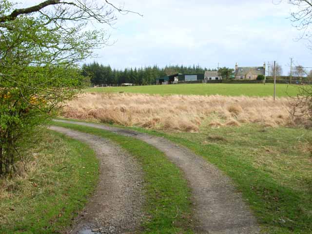
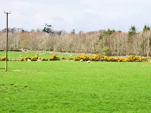
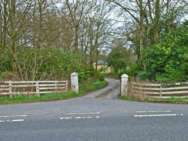
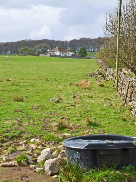
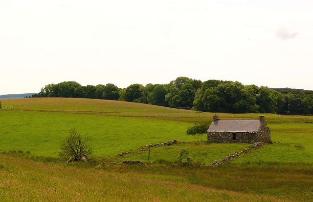
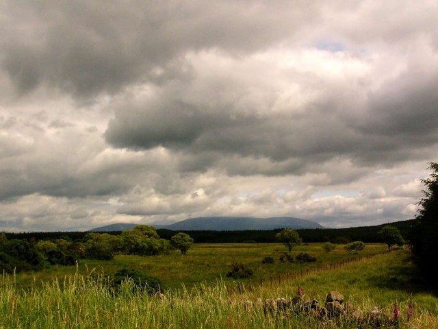
Merton Hall Moss is a woodland area located in Wigtownshire, Scotland. Covering an expansive area, it is known for its lush greenery and diverse ecosystem. The moss is situated near the town of Merton and is easily accessible to visitors.

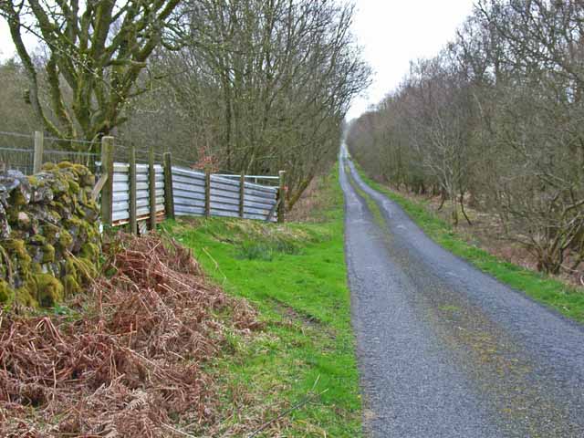
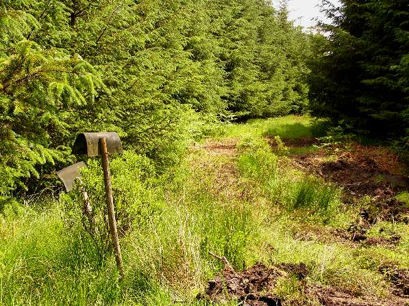
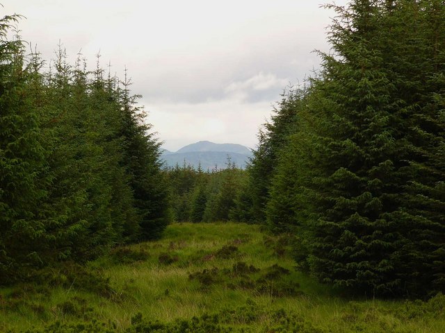
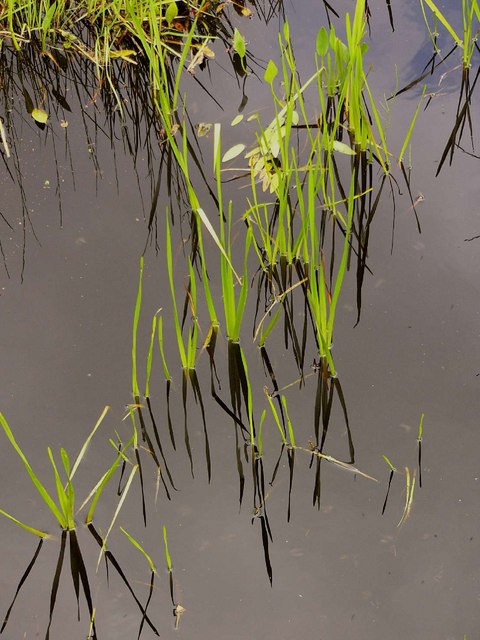
The woodland consists primarily of a mixture of deciduous and coniferous trees, including oak, beech, and pine. The combination of these trees creates a dynamic and visually appealing landscape. The forest floor is covered with a thick carpet of moss, adding to its enchanting atmosphere.

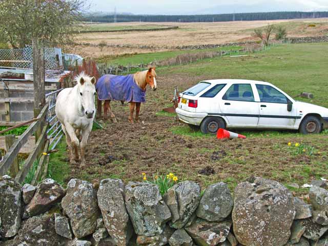
Merton Hall Moss is teeming with wildlife, making it a popular spot for nature enthusiasts. The forest is home to a variety of bird species, including woodpeckers, owls, and a multitude of songbirds. Visitors may also come across small mammals such as squirrels, rabbits, and even deer.

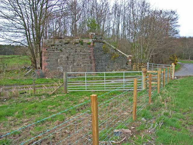
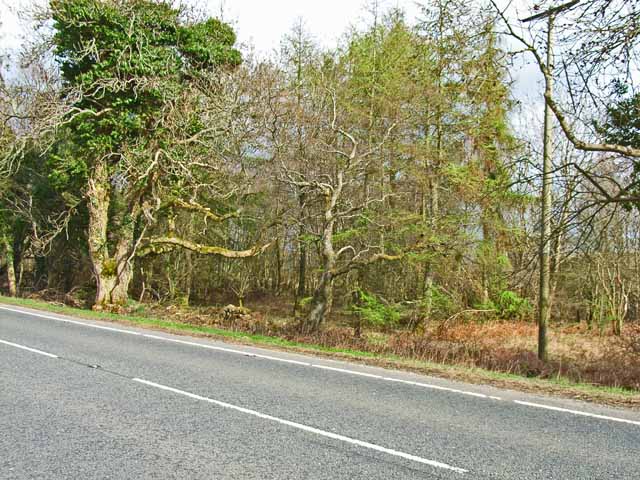
A network of footpaths and trails wind through the woodland, allowing visitors to explore the area at their own pace. These paths offer stunning views of the surrounding countryside and are perfect for leisurely walks or more adventurous hikes.

Merton Hall Moss provides a tranquil and serene escape from the hustle and bustle of everyday life. Its natural beauty and peaceful atmosphere make it an ideal destination for those seeking solace in nature or simply wishing to immerse themselves in the unique Scottish woodland experience.

If you have any feedback on the listing, please let us know in the comments section below.

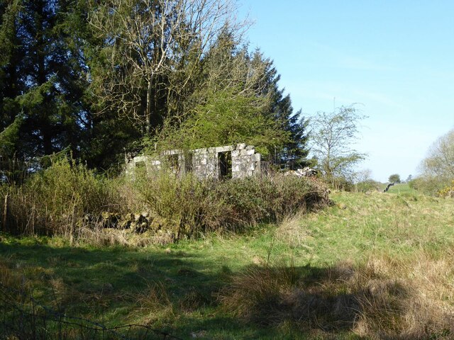
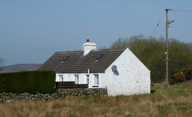
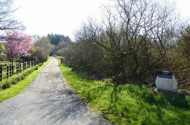
Merton Hall Moss Images

Images are sourced within 2km of 54.932886/-4.547355 or Grid Reference NX3662. Thanks to Geograph Open Source API. All images are credited.

Pond below Culbratten Hill Fed by Merton Burn.
With hides for wild-fowling.
Pond below Culbratten Hill
Fed by Merton Burn. With hides for wild-fowling.
Unnamed ruin Near High Glasnick.
Unnamed ruin
Near High Glasnick.
Low Barskeoch On the road to Newton Stewart.
Low Barskeoch
On the road to Newton Stewart.
Track to Lurneoch With cherry blossom.
Track to Lurneoch
With cherry blossom.
The road to Low Glasnick This long cul-de-sac lane runs south-westwards off the A75
The road to Low Glasnick
This long cul-de-sac lane runs south-westwards off the A75
Car and horse Seen at Glasnick Smithy Croft on the A75
Car and horse
Seen at Glasnick Smithy Croft on the A75
Lurneoch Off the A75
Lurneoch
Off the A75
"Crossings" This bungalow, appropriately named "Crossings" stands on what was presumably the site of an old crossing keeper's cottage. Towards the camera is the minor road to Low Glasnick. The farm road off to the right follows the line of the old Dumfries to Stranraer railway. Beyond the car is the A75.
"Crossings"
This bungalow, appropriately named "Crossings" stands on what was presumably the site of an old crossing keeper's cottage. Towards the camera is the minor road to Low Glasnick. The farm road off to the right follows the line of the old Dumfries to Stranraer railway. Beyond the car is the A75.
Field near Benfield Seen from the A75. Gorse (or furze) seems to be a major problem having invaded many of the fields in south-west Scotland
Field near Benfield
Seen from the A75. Gorse (or furze) seems to be a major problem having invaded many of the fields in south-west Scotland
Old bridge abutment on the A75 Looking east. The bridge formerly carried the Dumfries to Stranraer railway (closed in the 1960s) over the A75. The main road performed a sharp double bend under the bridge, but has now been realigned. (The road in the foreground is just a farm road serving Benfield Farm)
Old bridge abutment on the A75
Looking east. The bridge formerly carried the Dumfries to Stranraer railway (closed in the 1960s) over the A75. The main road performed a sharp double bend under the bridge, but has now been realigned. (The road in the foreground is just a farm road serving Benfield Farm)
Woodland alongside the A75 Although there is little trace to be seen now, the former Dumfries to Stranraer railway (closed in the 1960s) ran through this belt of woodland parallel to the A75.
Woodland alongside the A75
Although there is little trace to be seen now, the former Dumfries to Stranraer railway (closed in the 1960s) ran through this belt of woodland parallel to the A75.
Gateway and driveway to Merton Hall Adjoining the A75
Gateway and driveway to Merton Hall
Adjoining the A75
Barskeoch Off the A75
Barskeoch
Off the A75
Killeal from Drumadug Looking to Killeal plantation and Drumdennal.
Killeal from Drumadug
Looking to Killeal plantation and Drumdennal.
Firebeaters and forest track I can't imagine these would be much use if a forest fire broke out in this mature wood!
Firebeaters and forest track
I can't imagine these would be much use if a forest fire broke out in this mature wood!
Firebreak The hill in view through the firebreak is Curleywee, in the Minnigaff Hills.
Firebreak
The hill in view through the firebreak is Curleywee, in the Minnigaff Hills.
In the Killeal Burn
In the Killeal Burn
Rough grazing near Glasnick In the distance is Cairnsmore of Fleet
Rough grazing near Glasnick
In the distance is Cairnsmore of Fleet
Show me another place!

Merton Hall Moss is located at Grid Ref: NX3662 (Lat: 54.932886, Lng: -4.547355)

Unitary Authority: Dumfries and Galloway

Police Authority: Dumfries and Galloway

What 3 Words

///outfitter.sang.bearable. Near Newton Stewart, Dumfries & Galloway

Nearby Locations

Merton Hall Moss

Related Wikis

Newton Stewart Hospital

Newton Stewart Hospital is a health facility in Newton Stewart, Dumfries and Galloway, Scotland. It is managed by NHS Dumfries and Galloway. == History... ==

Newton Stewart F.C.

Newton Stewart Football Club are a football club from the town of Newton Stewart in the Dumfries and Galloway area of Scotland. Formed in 1880, as Newton...

Newton Stewart railway station

Newton Stewart railway station served the town of Newton Stewart, Dumfries and Galloway, Scotland from 1861 to 1965 on the Portpatrick and Wigtownshire...

Kirkcowan

Kirkcowan is an area about 15 miles in length, and from nearly two to nearly seven miles in breadth, comprising 30,580 acres, of which 7000 are arable...

Newton Stewart

Newton Stewart (Gd: Baile Ùr nan Stiùbhartach) is a former burgh town in the historical county of Wigtownshire in Dumfries and Galloway, southwest Scotland...

Mains of Penninghame Platform railway station

Mains of Penninghame Platform railway station (NX410617) was a halt on the Wigtownshire Railway branch line, from Newton Stewart to Whithorn, of the Portpatrick...

Douglas Ewart High School

Douglas Ewart High School was opened in 1922 in Newton Stewart, Scotland. It was formed by the amalgamation of the Douglas Free School opened in 1834...

McMillan Hall, Newton Stewart

The McMillan Hall is a municipal building in Dashwood Square in Newton Stewart, Dumfries and Galloway, Scotland. The structure, which is used as a community...

Nearby Amenities

Located within 500m of 54.932886,-4.547355
Power: pole
Lat/Long: 54.9359213/-4.5425815
The data included in this document is from www.openstreetmap.org. The data is made available under ODbL.

Have you been to Merton Hall Moss?

Leave your review of Merton Hall Moss below (or comments, questions and feedback).