Broom Hill Plantation
Wood, Forest in Wigtownshire
Scotland
Broom Hill Plantation
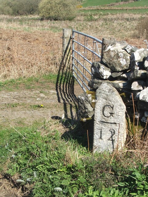
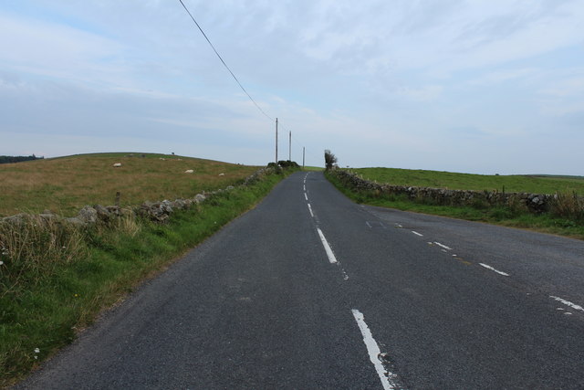
Broom Hill Plantation is a picturesque woodland located in Wigtownshire, Scotland. Covering an area of approximately 200 acres, it is a well-preserved example of a plantation forest. The site is easily accessible, situated just a few miles from the town of Wigtown.
The plantation primarily consists of a mixture of coniferous and deciduous trees, including Scots pine, oak, beech, and spruce. These trees create a diverse and vibrant woodland habitat, providing a home for a variety of wildlife species. Visitors to Broom Hill Plantation can expect to encounter a range of bird species, including woodpeckers, owls, and various songbirds.
The forest is crisscrossed by a network of walking trails, making it a popular destination for outdoor enthusiasts. These paths allow visitors to explore the plantation at their own pace, immersing themselves in the tranquil surroundings. The trails also provide an opportunity to learn about the history and management of the woodland, with informative signage located throughout the site.
Aside from its natural beauty, Broom Hill Plantation also offers recreational activities such as picnicking and nature photography. The peaceful atmosphere and stunning vistas make it an ideal spot for a relaxing day out in the countryside.
Overall, Broom Hill Plantation in Wigtownshire is a captivating woodland that provides both locals and tourists with a chance to appreciate Scotland's natural beauty. Its diverse ecosystem, well-maintained trails, and convenient location make it a must-visit destination for nature lovers and outdoor enthusiasts alike.
If you have any feedback on the listing, please let us know in the comments section below.
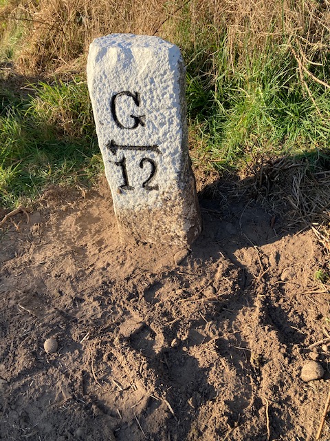
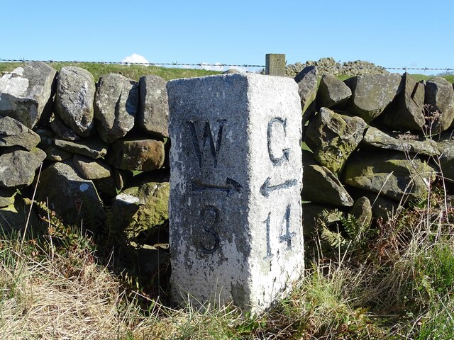
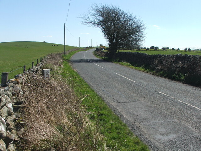
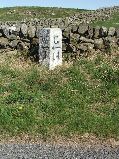
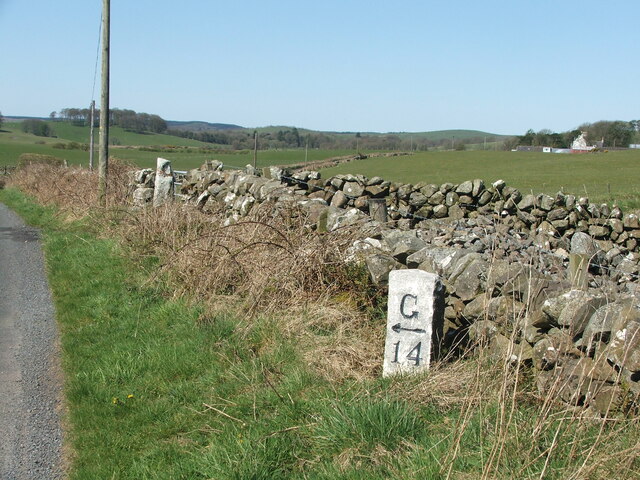
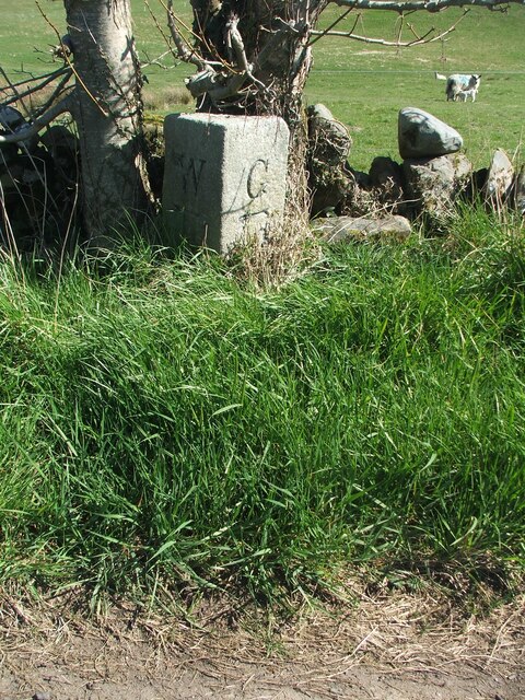
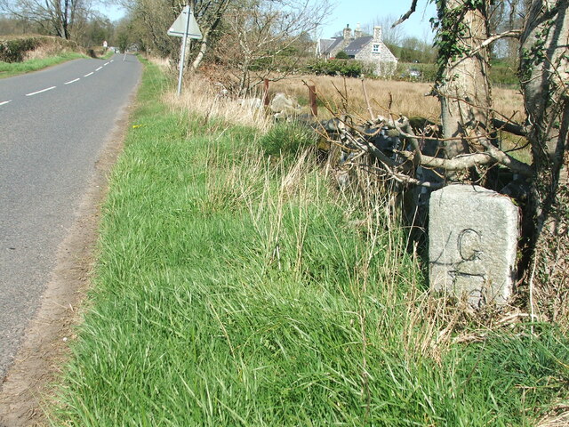
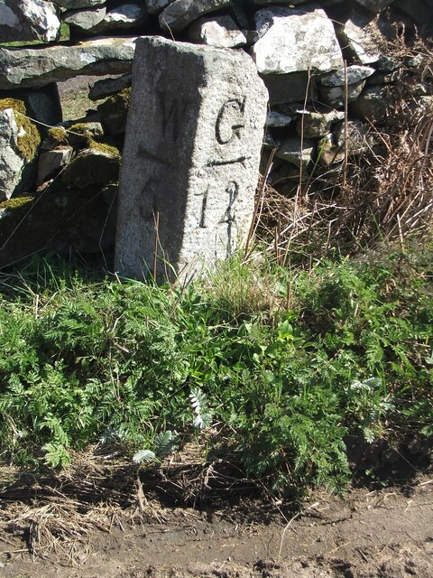
Broom Hill Plantation Images
Images are sourced within 2km of 54.880161/-4.5492177 or Grid Reference NX3656. Thanks to Geograph Open Source API. All images are credited.
Broom Hill Plantation is located at Grid Ref: NX3656 (Lat: 54.880161, Lng: -4.5492177)
Unitary Authority: Dumfries and Galloway
Police Authority: Dumfries and Galloway
What 3 Words
///stickler.mouse.mimes. Near Newton Stewart, Dumfries & Galloway
Nearby Locations
Related Wikis

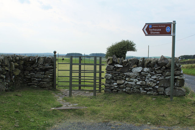
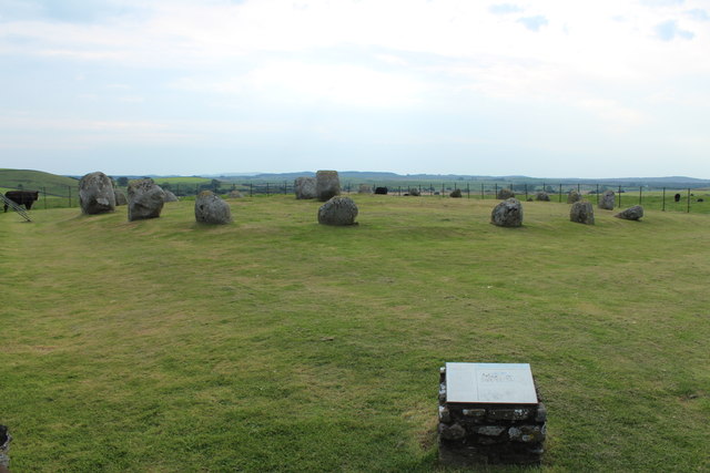
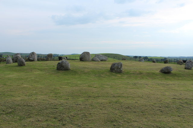
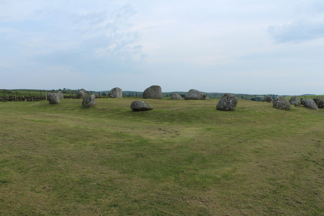
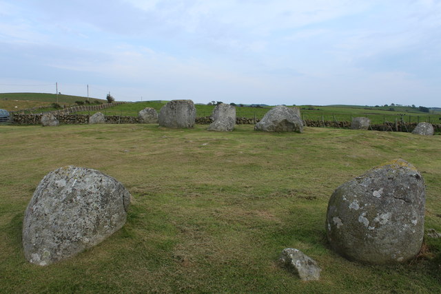
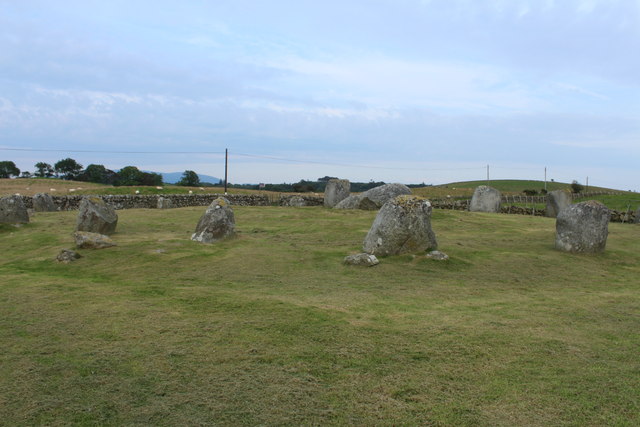
Torhouse
The Standing Stones of Torhouse (also Torhousekie) are a stone circle of nineteen granite boulders on the land of Torhouse, three miles west of Wigtown...

Kirkcowan
Kirkcowan is an area about 15 miles in length, and from nearly two to nearly seven miles in breadth, comprising 30,580 acres, of which 7000 are arable...

Kirkcowan railway station
Kirkcowan railway station served the village of Kirkcowan, Dumfries and Galloway, Scotland from 1861 to 1965 on the Portpatrick and Wigtownshire Joint...

Bladnoch Distillery and Visitor Centre
Bladnoch distillery is a single malt Scotch whisky distillery in south west Scotland. It is one of six remaining Lowland distilleries, located at Bladnoch...
Causeway End railway station
Causeway End (NX 42047 59602) or Causwayend was a railway station on the Wigtownshire Railway branch line, from Newton Stewart to Whithorn, of the Portpatrick...

Mains of Penninghame Platform railway station
Mains of Penninghame Platform railway station (NX410617) was a halt on the Wigtownshire Railway branch line, from Newton Stewart to Whithorn, of the Portpatrick...

Bladnoch, Wigtownshire
Bladnoch (Scottish Gaelic: Blaidneach) is a small village on the River Bladnoch in Wigtownshire, Scotland, located just outside the county town of Wigtown...
Wigtown & Bladnoch F.C.
Wigtown & Bladnoch Football Club are a football club from the town of Wigtown in the Dumfries and Galloway area of Scotland, who play in the South of Scotland...
Nearby Amenities
Located within 500m of 54.880161,-4.5492177Have you been to Broom Hill Plantation?
Leave your review of Broom Hill Plantation below (or comments, questions and feedback).