Torr Hill Plantation

Wood, Forest in Renfrewshire

Scotland

Torr Hill Plantation

Bridge of Weir Viaduct Category B listed viaduct <span class="nowrap"><a title="http://portal.historicenvironment.scot/designation/LB12688" rel="nofollow ugc noopener" href="http://portal.historicenvironment.scot/designation/LB12688">Link</a><img style="margin-left:2px;" alt="External link" title="External link - shift click to open in new window" src="https://s1.geograph.org.uk/img/external.png" width="10" height="10"/></span> over the River Gryfe. Built by the Greenock and Ayrshire Railway and opened in 1869. The railway line now forms part of National Cycle Route 75.
Bridge of Weir Viaduct Credit: Richard Sutcliffe

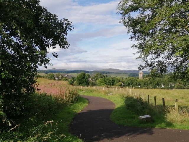
Torr Hill Plantation is a sprawling woodland area located in Renfrewshire, Scotland. Covering an extensive area of approximately 500 acres, it is renowned for its natural beauty and diverse range of flora and fauna.

The plantation is predominantly made up of native Scottish trees, including oak, birch, and pine, which create a picturesque landscape throughout the year. The trees provide a habitat for various species of birds, mammals, and insects, making it a haven for wildlife enthusiasts and nature lovers.

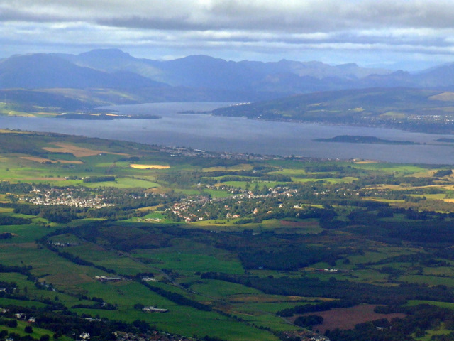
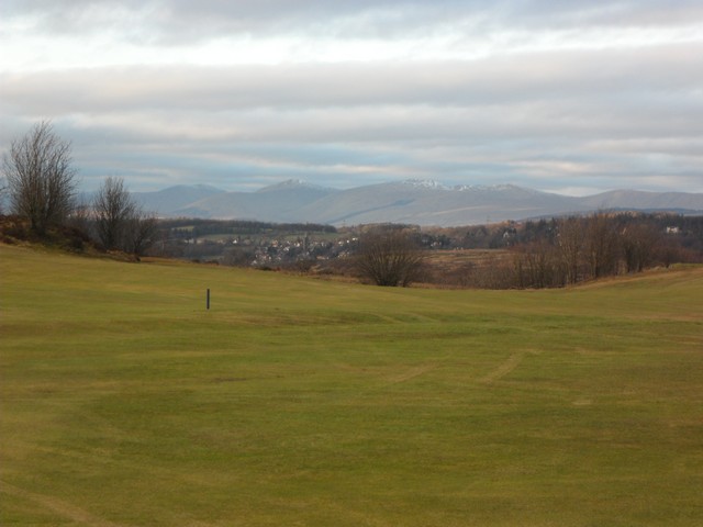
Visitors to Torr Hill Plantation can explore the numerous walking trails that crisscross the woodland, allowing them to immerse themselves in the peaceful surroundings and experience the tranquility of nature. The well-maintained paths offer stunning panoramic views of the surrounding countryside, making it an ideal location for photography and birdwatching.

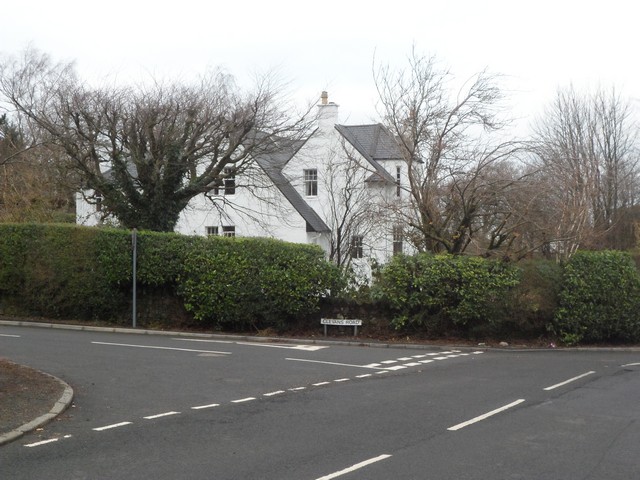
In addition to its natural beauty, Torr Hill Plantation also has a rich historical significance. The area has been inhabited since ancient times, with archaeological evidence suggesting human activity dating back thousands of years. The plantation itself has a long history and was once part of a larger estate owned by the local aristocracy.

Today, Torr Hill Plantation is open to the public, providing a sanctuary away from the hustle and bustle of everyday life. Whether you are seeking a peaceful stroll, a chance to reconnect with nature, or an opportunity to learn about the area's history, Torr Hill Plantation offers a unique and enriching experience for all who visit.

If you have any feedback on the listing, please let us know in the comments section below.

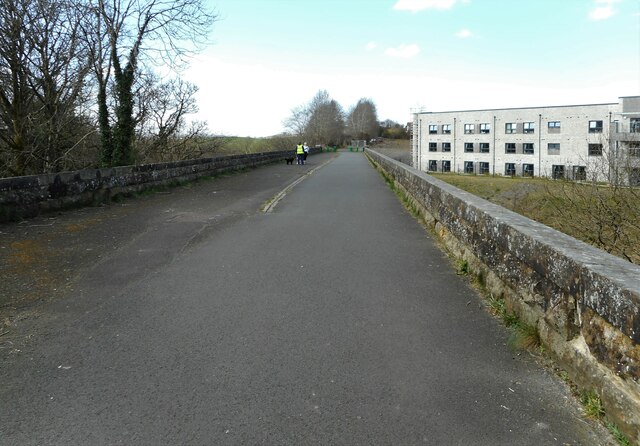
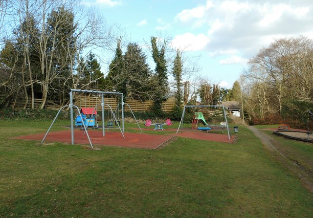
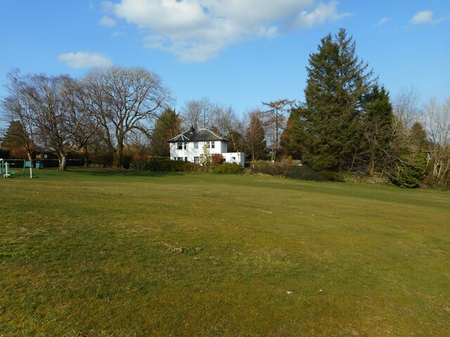
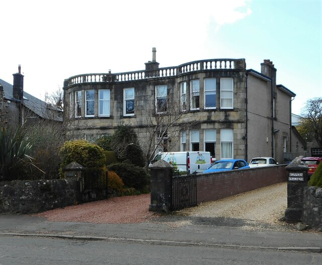
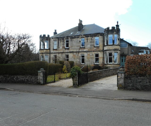
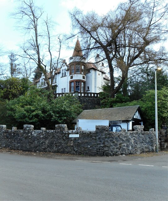
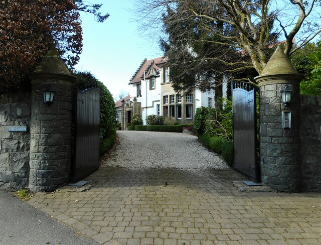
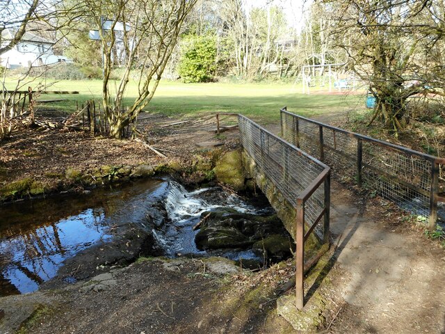
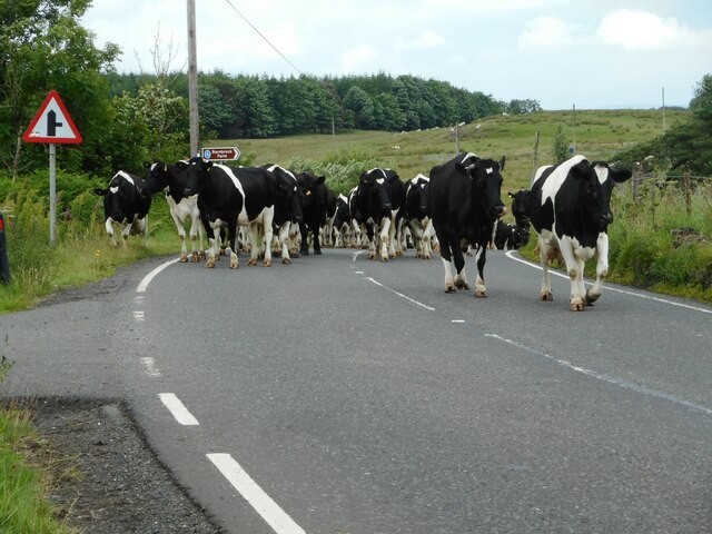
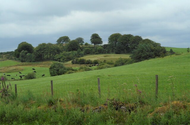
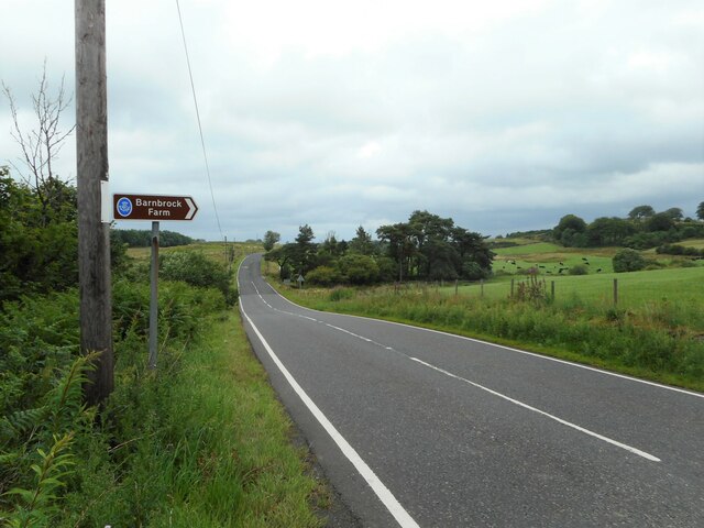
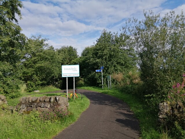
Torr Hill Plantation Images

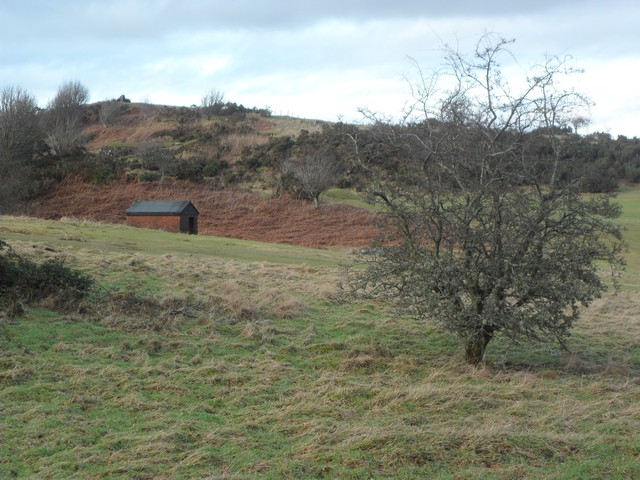
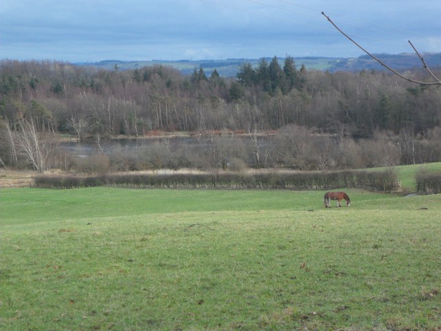
Images are sourced within 2km of 55.855861/-4.6135977 or Grid Reference NS3665. Thanks to Geograph Open Source API. All images are credited.

Bridge of Weir Viaduct Category B listed viaduct <span class="nowrap"><a title="http://portal.historicenvironment.scot/designation/LB12688" rel="nofollow ugc noopener" href="http://portal.historicenvironment.scot/designation/LB12688">Link</a><img style="margin-left:2px;" alt="External link" title="External link - shift click to open in new window" src="https://s1.geograph.org.uk/img/external.png" width="10" height="10"/></span> over the River Gryfe. Built by the Greenock and Ayrshire Railway and opened in 1869. The railway line now forms part of National Cycle Route 75.
Bridge of Weir Viaduct
Category B listed viaduct LinkExternal link over the River Gryfe. Built by the Greenock and Ayrshire Railway and opened in 1869. The railway line now forms part of National Cycle Route 75.
Play area In open space off Horsewood Road.
Play area
In open space off Horsewood Road.
House beside a grassy area The house is on Horsewood Road.
House beside a grassy area
The house is on Horsewood Road.
Villa on Horsewood Road One of several large houses in the road.
Villa on Horsewood Road
One of several large houses in the road.
Villa on Horsewood Road One of several large houses in the road.
Villa on Horsewood Road
One of several large houses in the road.
Tigh-An-Rhu An imposing property on Lawmarnock Road.
Tigh-An-Rhu
An imposing property on Lawmarnock Road.
The Cairn Category B listed house <span class="nowrap"><a title="http://portal.historicenvironment.scot/designation/LB12770" rel="nofollow ugc noopener" href="http://portal.historicenvironment.scot/designation/LB12770">Link</a><img style="margin-left:2px;" alt="External link" title="External link - shift click to open in new window" src="https://s1.geograph.org.uk/img/external.png" width="10" height="10"/></span> on Prieston Road.
The Cairn
Category B listed house LinkExternal link on Prieston Road.
Footbridge over the Pow Burn
Here come the cows A herd of cows being driven along the B786, heading for milking.
Here come the cows
A herd of cows being driven along the B786, heading for milking.
Small woodland North of Barnbrock Farm.
Small woodland
North of Barnbrock Farm.
The B786 Approaching the turn off for Barnbrock Farm.
The B786
Approaching the turn off for Barnbrock Farm.
Entering Inverclyde on NCR 75 As noted in <a href="https://www.geograph.org.uk/photo/3527703">NS3667 : National Cycle Network Route 75</a>, National Cycle Route 75 crosses the Renfrew/Inverclyde boundary at this point. A sign now welcomes westbound cyclists to Inverclyde - at least careful ones.
Entering Inverclyde on NCR 75
As noted in NS3667 : National Cycle Network Route 75, National Cycle Route 75 crosses the Renfrew/Inverclyde boundary at this point. A sign now welcomes westbound cyclists to Inverclyde - at least careful ones.
Path to Quarriers Village This short path leads from National Cycle Route 75 to Quarriers Village.
Path to Quarriers Village
This short path leads from National Cycle Route 75 to Quarriers Village.
Kilmacolm and the Firth of Clyde from the air The former Princes Pier railway line can be seen curving through the Gryfe Valley towards Kilmacolm. Port Glasgow is visible on the south bank of the Clyde, Helensburgh on the north, beyond Ardmore Peninsula. The Gareloch and the Arrochar Alps provide a dramatic backdrop.
Kilmacolm and the Firth of Clyde from the air
The former Princes Pier railway line can be seen curving through the Gryfe Valley towards Kilmacolm. Port Glasgow is visible on the south bank of the Clyde, Helensburgh on the north, beyond Ardmore Peninsula. The Gareloch and the Arrochar Alps provide a dramatic backdrop.
Clevans Road, Bridge of Weir
Ranfurly Castle Golf Course With a view to Kilmacolm in the near distance, and in the far distance a stunning view of the Arrochar Alps.
Ranfurly Castle Golf Course
With a view to Kilmacolm in the near distance, and in the far distance a stunning view of the Arrochar Alps.
Small hut in the shadow of Torr Hill The trig point marking the 164m summit can also be seen.
Small hut in the shadow of Torr Hill
The trig point marking the 164m summit can also be seen.
Pony grazing near Barcraig Loch To the west of Bridge of Weir.
Pony grazing near Barcraig Loch
To the west of Bridge of Weir.
Show me another place!

Torr Hill Plantation is located at Grid Ref: NS3665 (Lat: 55.855861, Lng: -4.6135977)

Unitary Authority: Renfrewshire

Police Authority: Renfrewshire and Inverclyde

What 3 Words

///united.supposes.fakes. Near Bridge of Weir, Renfrewshire

Nearby Locations

Torr Hill Plantation

Related Wikis

Quarrier's Village

Quarrier's Village or Quarriers Village is a small settlement in the civil parish of Kilmacolm in Inverclyde council area and the historic county of Renfrewshire...

Ranfurly Castle

Ranfurly Castle is a ruined 15th century castle, about 0.5 miles (0.80 km) south west of Bridge of Weir, Renfrewshire, Scotland, in Ranfurly golf course...

Ranfurly, Renfrewshire

Ranfurly (Scottish Gaelic: Rann FeĆ²irling) is a small settlement on the southern edge of the village of Bridge of Weir, which lies within the Gryffe Valley...

Gryffe Castle

Gryffe Castle was a castle existing in 1474, probably about 0.5 miles (0.80 km) north of Bridge of Weir, Renfrewshire, Scotland.The present Gryffe Castle...

Nearby Amenities

Located within 500m of 55.855861,-4.6135977
Power: pole
Lat/Long: 55.8586601/-4.6153192
Power: pole
Lat/Long: 55.858646/-4.6145463
Power: pole
Lat/Long: 55.8586355/-4.6138068
Power: pole
Lat/Long: 55.8587489/-4.6130735
Power: pole
Lat/Long: 55.858853/-4.6123694
Power: pole
Lat/Long: 55.8589559/-4.6116924
The data included in this document is from www.openstreetmap.org. The data is made available under ODbL.

Have you been to Torr Hill Plantation?

Leave your review of Torr Hill Plantation below (or comments, questions and feedback).