Clarksburn Wood

Wood, Forest in Wigtownshire

Scotland

Clarksburn Wood

Front Bay, Monreith Viewed from the Gavin Maxwell Otter Memorial. Looking towards St Medan Golf Course.
Front Bay, Monreith Credit: Billy McCrorie

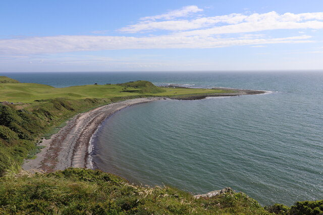
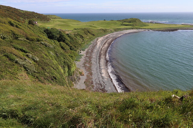
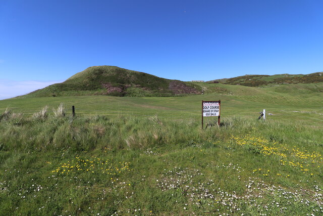
Clarksburn Wood is a picturesque forest located in Wigtownshire, Scotland. It covers an area of approximately 100 hectares and is known for its diverse range of flora and fauna. The wood is situated near the village of Clarksburn, which adds to its charm and accessibility.

The forest is predominantly made up of native broadleaf trees, including oak, birch, and beech, which create a rich and vibrant canopy. These trees provide a habitat for various woodland animals, such as red squirrels, roe deer, and a plethora of bird species, making it a popular destination for nature enthusiasts and birdwatchers.

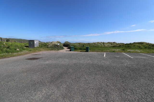
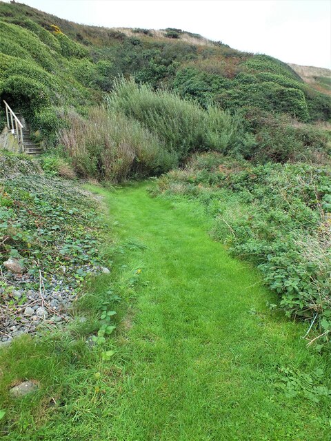
Clarksburn Wood offers a network of walking trails that meander through the forest, allowing visitors to explore its beauty at their own pace. These trails are well-maintained and provide excellent opportunities for visitors to immerse themselves in the natural surroundings.

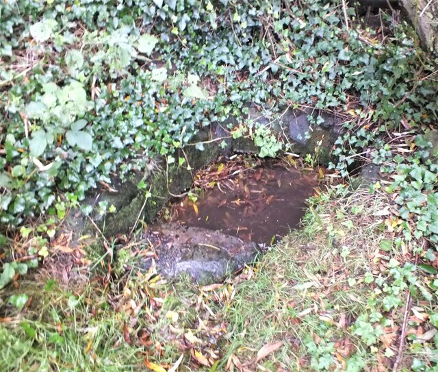
One of the highlights of Clarksburn Wood is the Clarksburn Burn, a small stream that flows through the forest. The gentle babbling of the water and the lush greenery surrounding it create a tranquil atmosphere, making it an ideal spot for relaxation and reflection.

The forest is also rich in history, with remnants of an ancient settlement and an old mill that once operated in the area. These historical features add an intriguing element to the overall experience of visiting Clarksburn Wood.

Overall, Clarksburn Wood in Wigtownshire is a haven for nature lovers, offering a serene environment, diverse wildlife, and a glimpse into the region's past.

If you have any feedback on the listing, please let us know in the comments section below.

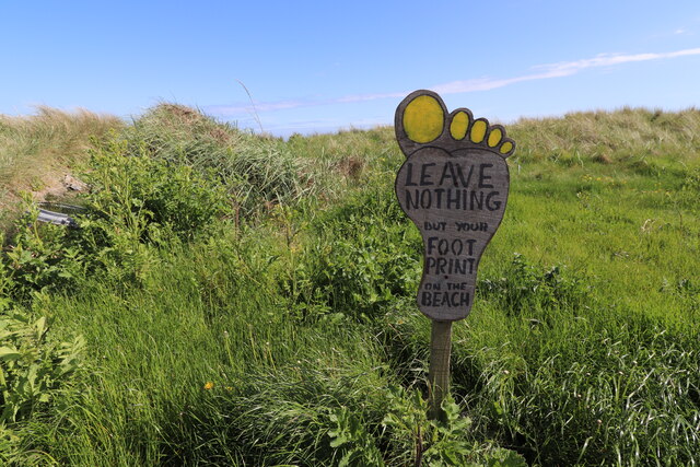
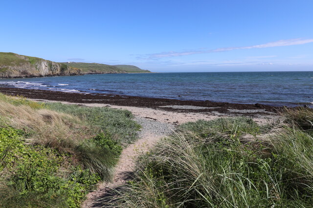
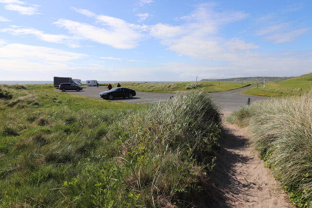
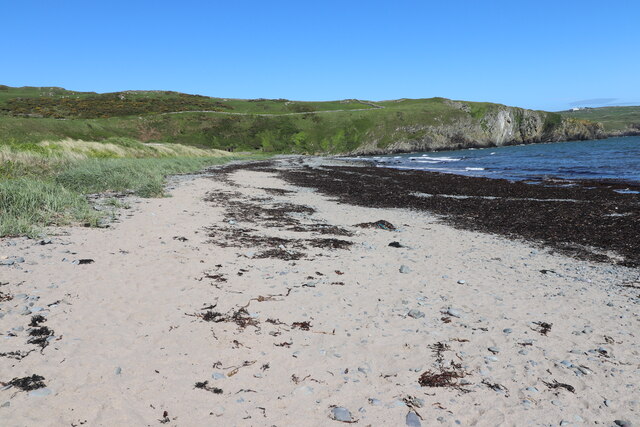
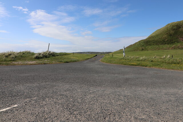
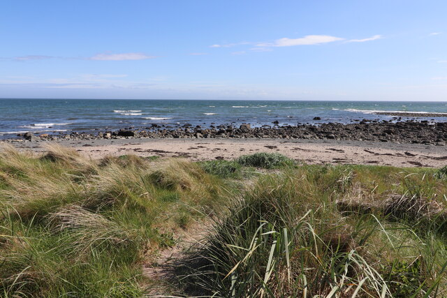
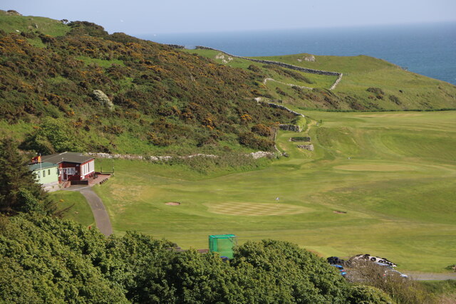
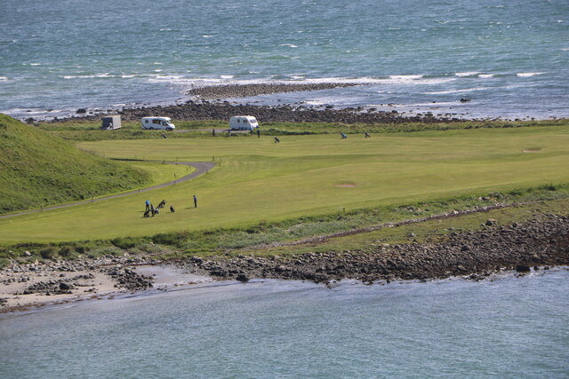
Clarksburn Wood Images

Images are sourced within 2km of 54.733047/-4.5416138 or Grid Reference NX3640. Thanks to Geograph Open Source API. All images are credited.

Front Bay, Monreith Viewed from the Gavin Maxwell Otter Memorial. Looking towards St Medan Golf Course.
Front Bay, Monreith
Viewed from the Gavin Maxwell Otter Memorial. Looking towards St Medan Golf Course.
Shore at Front Bay, Monreith At Point of Lag looking over St Medan Golf Course. Viewed from the Gavin Maxwell Otter Memorial.
Shore at Front Bay, Monreith
At Point of Lag looking over St Medan Golf Course. Viewed from the Gavin Maxwell Otter Memorial.
Beware of Stray Golf Balls At St Medan Golf Course, viewed from Back Bay Car Park.
Beware of Stray Golf Balls
At St Medan Golf Course, viewed from Back Bay Car Park.
Car Park at Back Bay At Point of Lag, on the left is the toilet block.
Car Park at Back Bay
At Point of Lag, on the left is the toilet block.
Leave Nothing at Back Bay Sign at the car park at Point of Lag.
Leave Nothing at Back Bay
Sign at the car park at Point of Lag.
Back Bay near Monreith
Back Bay Car Park At Point of Lag near Monreith.
Back Bay Car Park
At Point of Lag near Monreith.
Shore at Back Bay Near Monreith.
Shore at Back Bay
Near Monreith.
Exit Road from Back Bay Car Park Road passes through St. Medan Golf Course.
Exit Road from Back Bay Car Park
Road passes through St. Medan Golf Course.
Rocks at Back Bay At Point of Lag near Monreith.
Rocks at Back Bay
At Point of Lag near Monreith.
St. Medan Golf Course With Clubhouse, viewed from Gavin Maxwell Otter Memorial.
St. Medan Golf Course
With Clubhouse, viewed from Gavin Maxwell Otter Memorial.
St. Medan Golf Course Near Monreith, vehicles are in a car park at Back Bay.
St. Medan Golf Course
Near Monreith, vehicles are in a car park at Back Bay.
St. Medan Golf Course Viewed from the Gavin Maxwell Otter Memorial near Monreith.
St. Medan Golf Course
Viewed from the Gavin Maxwell Otter Memorial near Monreith.
St. Medan Clubhouse Golf Course near Monreith.
St. Medan Clubhouse
Golf Course near Monreith.
St. Medan Golf Club Flag Golf Course near Monreith.
St. Medan Golf Club Flag
Golf Course near Monreith.
Rough grazing, Garrarie
Entrance to Boden Walls Well Situated to the right of the St Medan's Golf Club's fifth green on The Lag, the little-known Boden Walls Well is probably named after the Bodden Cliffs behind it.
Entrance to Boden Walls Well
Situated to the right of the St Medan's Golf Club's fifth green on The Lag, the little-known Boden Walls Well is probably named after the Bodden Cliffs behind it.
Boden Walls Well Situated to the right of the St Medan's Golf Club's fifth green on The Lag, the little-known and very non-descript Boden Walls Well is possibly named after the Bodden Cliffs behind it. It was probably used as a source of fresh water for fishermen.
Boden Walls Well
Situated to the right of the St Medan's Golf Club's fifth green on The Lag, the little-known and very non-descript Boden Walls Well is possibly named after the Bodden Cliffs behind it. It was probably used as a source of fresh water for fishermen.
Show me another place!

Clarksburn Wood is located at Grid Ref: NX3640 (Lat: 54.733047, Lng: -4.5416138)

Unitary Authority: Dumfries and Galloway

Police Authority: Dumfries and Galloway

What 3 Words

///picture.repeating.cuddled. Near Whithorn, Dumfries & Galloway

Related Wikis

Monreith

Monreith ([mɒn'ri:θ] / 'mon-REETH'; Scottish Gaelic: Am Monadh Rèidh) is a small seaside village in the Machars, in the historical county of Wigtownshire...

Wren's Egg

The Wren's Egg (grid reference NX 3610 4199) is the name given to a set of late Neolithic or Bronze Age stone monuments in the parish of Glasserton, Wigtownshire...

Monreith House

Monreith House is a category A listed Georgian mansion located 1.5 kilometres (0.93 mi) east of the village of Port William in Mochrum parish in the historical...

Drumtroddan standing stones

The Drumtroddan standing stones (grid reference NX 36449 44300) are a small Neolithic or Bronze Age stone alignment in the parish of Mochrum, Wigtownshire...

Port William, Dumfries and Galloway

Port William (Scottish Gaelic: Cill na Tràghad) is a fishing village in the parish of Mochrum in the historical county of Wigtownshire, Dumfries and Galloway...

Glasserton

Glasserton is a civil parish in Dumfries and Galloway, south-west Scotland. It is on the Machars peninsula, in the traditional county of Wigtownshire....

Rispain Camp

Rispain Camp is the remains of a fortified farmstead 1 mile west of Whithorn, Dumfries and Galloway, Scotland. It is one of the major Iron Age archaeological...

St Ninian's Cave

St Ninian's Cave is a cave in Physgill Glen, Whithorn, Dumfries and Galloway, Scotland. It features in the climax of the acclaimed 1973 horror film The...

Nearby Amenities

Located within 500m of 54.733047,-4.5416138
Source: PGS
Lat/Long: 54.7342269/-4.5479736
Source: PGS
Lat/Long: 54.7322074/-4.5438752
Source: PGS
Lat/Long: 54.7304976/-4.5432315
Source: PGS
Lat/Long: 54.7293949/-4.5428023
Source: PGS
Lat/Long: 54.7286391/-4.5408282
Maxwell's otter
Artwork Type: statue
Name En: Maxwell's otter
Tourism: artwork
Lat/Long: 54.7294191/-4.5413678
Power: pole
Lat/Long: 54.7365592/-4.5446163
Power: pole
Lat/Long: 54.7364763/-4.5429975
Power: pole
Lat/Long: 54.7364299/-4.5421437
Power: pole
Lat/Long: 54.7363713/-4.5410046
Power: pole
Lat/Long: 54.7363152/-4.5398719
Power: pole
Lat/Long: 54.7353989/-4.5393668
Power: pole
Lat/Long: 54.7370217/-4.5394429
Power: pole
Lat/Long: 54.7347571/-4.5389611
Power: pole
Lat/Long: 54.7342581/-4.5386261
Power: pole
Lat/Long: 54.7335046/-4.5349151
Power: pole
Lat/Long: 54.7335302/-4.5355977
Power: pole
Lat/Long: 54.7335571/-4.5362993
Power: pole
Lat/Long: 54.7335705/-4.5369883
Power: pole
Lat/Long: 54.7362463/-4.5383154
Power: pole
Lat/Long: 54.7361963/-4.5371806
The data included in this document is from www.openstreetmap.org. The data is made available under ODbL.

Have you been to Clarksburn Wood?

Leave your review of Clarksburn Wood below (or comments, questions and feedback).