Black Loch Plantation

Wood, Forest in Wigtownshire

Scotland

Black Loch Plantation

Hedge Trimming Cutting the roadside hedges near South Barsalloch Farm on the North Barsalloch Road from Monreith.
Hedge Trimming Credit: Jon Alexander

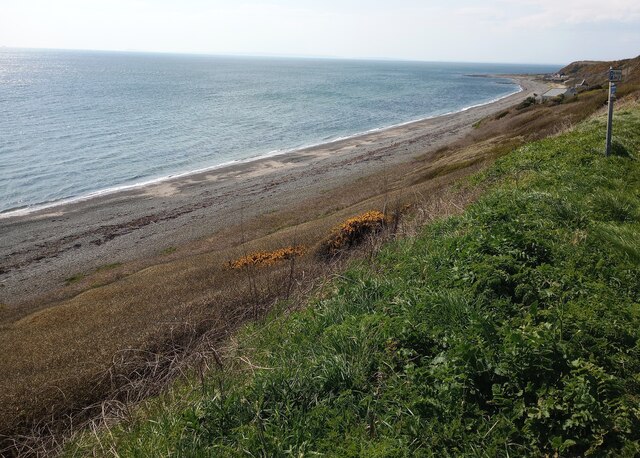
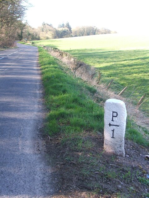
Black Loch Plantation is a picturesque woodland located in Wigtownshire, Scotland. Spanning over a vast area, this enchanting forest is a renowned destination for nature enthusiasts and outdoor enthusiasts alike. The plantation is situated near the tranquil Black Loch, which adds to the allure of the surroundings.

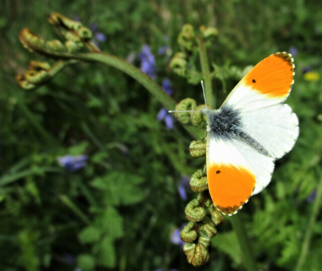
The woodland is predominantly composed of native tree species, with towering Scots pines and majestic oak trees dominating the landscape. The lush undergrowth is abundant with ferns, mosses, and wildflowers, creating a vibrant tapestry of colors throughout the seasons. The dense foliage provides a haven for a diverse range of wildlife, including red squirrels, roe deer, and various bird species.

Black Loch Plantation offers an extensive network of well-maintained trails, making it an ideal location for hiking, walking, and cycling. These trails provide access to the heart of the woodland, allowing visitors to immerse themselves in the natural beauty that surrounds them. The plantation also offers picnic areas and designated camping spots for those looking to spend a night under the starry skies.

Aside from its natural splendor, Black Loch Plantation holds historical significance as well. The area was once part of a larger estate and has been managed sustainably for generations. This commitment to conservation has ensured the preservation of the woodland's unique ecosystem and the protection of its remarkable biodiversity.

Overall, Black Loch Plantation in Wigtownshire is a captivating destination for those seeking tranquility and a connection with nature. Its idyllic setting, abundant wildlife, and well-maintained trails make it an ideal place to explore, relax, and appreciate the wonders of the Scottish countryside.

If you have any feedback on the listing, please let us know in the comments section below.

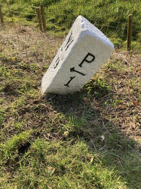
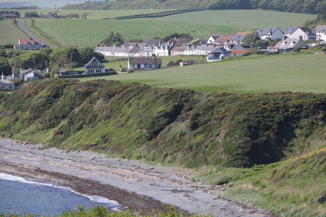
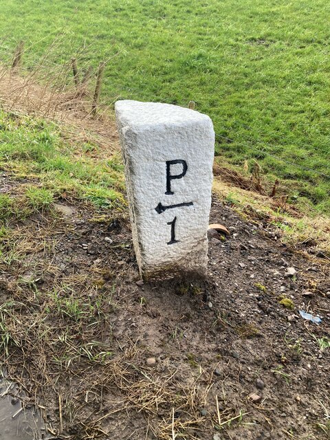
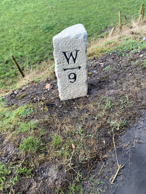
Black Loch Plantation Images

Images are sourced within 2km of 54.753808/-4.5482305 or Grid Reference NX3642. Thanks to Geograph Open Source API. All images are credited.

Hedge Trimming Cutting the roadside hedges near South Barsalloch Farm on the North Barsalloch Road from Monreith.
Hedge Trimming
Cutting the roadside hedges near South Barsalloch Farm on the North Barsalloch Road from Monreith.
Monrieth Sands Holiday Park The entrance to the Monreith Sands Holiday, just off the A747.
Monrieth Sands Holiday Park
The entrance to the Monreith Sands Holiday, just off the A747.
Old milestone A leaning Wigtownshire milestone that has had vegetation cleared away to show the extent of its lean but has been repainted.  It is on the B7085 just west of the B7021.  The next milestone nearer Port William has the mileage to Port William as ½ mile.  The W is for Wigtown.
Old milestone
A leaning Wigtownshire milestone that has had vegetation cleared away to show the extent of its lean but has been repainted. It is on the B7085 just west of the B7021. The next milestone nearer Port William has the mileage to Port William as ½ mile. The W is for Wigtown.
Monreith Village Zoomed in from the Gavin Maxwell Otter Memorial.
Monreith Village
Zoomed in from the Gavin Maxwell Otter Memorial.
Road junction, Monreith
St Medans, Monreith
St Medans, Monreith
Picnic table, Monreith Beside the A747, high above the beach.
Picnic table, Monreith
Beside the A747, high above the beach.
Links, Barsalloch The ground beneath the vegetation is stony with shingle ridges.
Links, Barsalloch
The ground beneath the vegetation is stony with shingle ridges.
Old milestone The milestone just west of the B7021 junction on the road from Wigtown to Port William.   Straightened, uplifted and painted by a local Milestone Society member.
Old milestone
The milestone just west of the B7021 junction on the road from Wigtown to Port William. Straightened, uplifted and painted by a local Milestone Society member.
Old milestone The Wigtown face of the milestone recently straightened and uplifted.   Many of the Wigtownshire stones are a quadrant shape but others, like this one, are more triangular.
Old milestone
The Wigtown face of the milestone recently straightened and uplifted. Many of the Wigtownshire stones are a quadrant shape but others, like this one, are more triangular.
Old milestone The Wigtownshire milestone on the B7085 just outside Port William has had a makeover by a local Milestone Society member and the vegetation around it cleared.   The W on this stone is for Wigtown.
Old milestone
The Wigtownshire milestone on the B7085 just outside Port William has had a makeover by a local Milestone Society member and the vegetation around it cleared. The W on this stone is for Wigtown.
View over Monreith Bay Scrub covered slope between road and beach
View over Monreith Bay
Scrub covered slope between road and beach
Farmland: Dourie With modern farm buildings
Farmland: Dourie
With modern farm buildings
Hart's-tongue Fern A clump of Hart's-tongue fern unfurling beside the track between Blairbuy Bridge and Monreith. Originally called Phyllitis scolopendrium, it has been renamed and it now has the scientific name of Asplenium scolopendrium.
Hart's-tongue Fern
A clump of Hart's-tongue fern unfurling beside the track between Blairbuy Bridge and Monreith. Originally called Phyllitis scolopendrium, it has been renamed and it now has the scientific name of Asplenium scolopendrium.
Orange-tip Butterfly An Orange-tip butterfly (Anthocharis cardamines) resting on a fern frond beside the track between Blairbuy Bridge and Monreith.
Orange-tip Butterfly
An Orange-tip butterfly (Anthocharis cardamines) resting on a fern frond beside the track between Blairbuy Bridge and Monreith.
Old milestone Work finished straightening and repainting this milestone by a Milestone Society member.   it is sited just west of  the b7021 junction leading to Whithorn.
Old milestone
Work finished straightening and repainting this milestone by a Milestone Society member. it is sited just west of the b7021 junction leading to Whithorn.
Old milestone On this lovely sunny day, the milestone, road and fields striped by shadows from the trees not yet in full leaf.
Old milestone
On this lovely sunny day, the milestone, road and fields striped by shadows from the trees not yet in full leaf.
Old milestone And southwestwards with a mile before reaching Port William.
Old milestone
And southwestwards with a mile before reaching Port William.
Show me another place!

Black Loch Plantation is located at Grid Ref: NX3642 (Lat: 54.753808, Lng: -4.5482305)

Unitary Authority: Dumfries and Galloway

Police Authority: Dumfries and Galloway

What 3 Words

///reseller.chatted.tips. Near Whithorn, Dumfries & Galloway

Related Wikis

Monreith House

Monreith House is a category A listed Georgian mansion located 1.5 kilometres (0.93 mi) east of the village of Port William in Mochrum parish in the historical...

Wren's Egg

The Wren's Egg (grid reference NX 3610 4199) is the name given to a set of late Neolithic or Bronze Age stone monuments in the parish of Glasserton, Wigtownshire...

Drumtroddan standing stones

The Drumtroddan standing stones (grid reference NX 36449 44300) are a small Neolithic or Bronze Age stone alignment in the parish of Mochrum, Wigtownshire...

Monreith

Monreith ([mɒn'ri:θ] / 'mon-REETH'; Scottish Gaelic: Am Monadh Rèidh) is a small seaside village in the Machars, in the historical county of Wigtownshire...

Nearby Amenities

Located within 500m of 54.753808,-4.5482305
Monreith
Place: hamlet
Lat/Long: 54.7580203/-4.5484905
Power: pole
Lat/Long: 54.7496433/-4.5487405
Power: pole
Lat/Long: 54.7503849/-4.5495266
Power: pole
Lat/Long: 54.7509398/-4.5501247
Power: pole
Lat/Long: 54.7517521/-4.5509679
Power: pole
Lat/Long: 54.7526754/-4.5519358
Power: pole
Lat/Long: 54.7534267/-4.5512595
Power: pole
Lat/Long: 54.7542352/-4.5505389
Power: pole
Lat/Long: 54.7549804/-4.5498648
Power: pole
Lat/Long: 54.7558048/-4.5488609
Power: pole
Lat/Long: 54.7566231/-4.5478698
Power: pole
Lat/Long: 54.7571731/-4.5474873
Power: pole
Lat/Long: 54.7577779/-4.5470963
Power: pole
Lat/Long: 54.758163/-4.547045
Power: pole
Lat/Long: 54.757006/-4.5462404
Power: pole
Lat/Long: 54.7568499/-4.5449428
Power: pole
Lat/Long: 54.7568975/-4.5437171
Power: pole
Lat/Long: 54.758102/-4.546559
Power: pole
Lat/Long: 54.7582447/-4.5481778
The data included in this document is from www.openstreetmap.org. The data is made available under ODbL.

Have you been to Black Loch Plantation?

Leave your review of Black Loch Plantation below (or comments, questions and feedback).