Craiganally Plantation

Wood, Forest in Wigtownshire

Scotland

Craiganally Plantation

Old milestone A leaning Wigtownshire milestone that has had vegetation cleared away to show the extent of its lean but has been repainted.  It is on the B7085 just west of the B7021.  The next milestone nearer Port William has the mileage to Port William as ½ mile.  The W is for Wigtown.
Old milestone Credit: Jacqueline Crowther

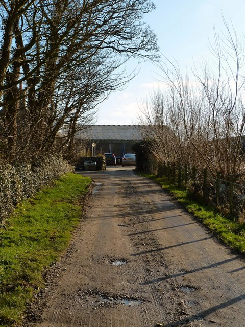
Craiganally Plantation is a picturesque woodland situated in the heart of Wigtownshire, Scotland. Covering an area of approximately 100 acres, this magnificent forest is a haven for nature enthusiasts and offers a tranquil retreat for visitors seeking solace amidst the beauty of nature.

The plantation is predominantly composed of native tree species such as oak, beech, and birch, creating a diverse and vibrant ecosystem. The canopy of towering trees provides shade and shelter for an array of wildlife, including various bird species, squirrels, and deer. The forest floor boasts a rich carpet of ferns, wildflowers, and mosses, adding to the enchanting ambiance.

Wandering through Craiganally Plantation, visitors can explore a network of well-maintained paths and trails that wind their way through the forest. These pathways offer breathtaking views of the surrounding countryside, showcasing the rolling hills and meandering river that grace the region.

For those interested in the history of the area, Craiganally Plantation holds a significant past. It was originally established in the 19th century as a timber plantation, contributing to the local economy through forestry and timber production. Today, the plantation serves as a testament to the importance of sustainable land management and conservation efforts.

Craiganally Plantation is a true gem in Wigtownshire, offering a peaceful sanctuary for visitors to reconnect with nature and appreciate the wonders of Scotland's woodlands.

If you have any feedback on the listing, please let us know in the comments section below.

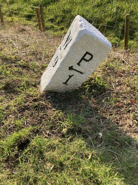
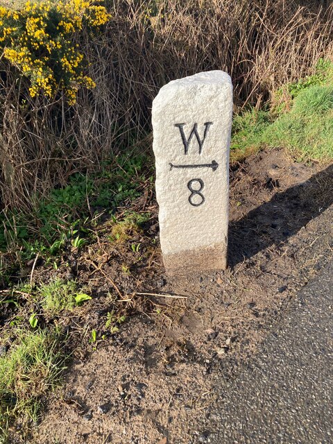
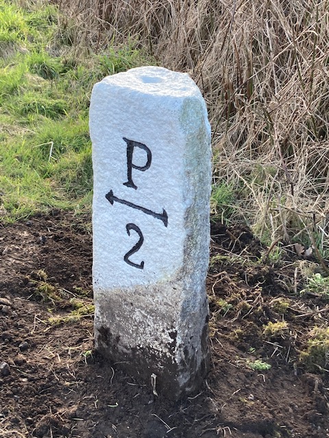
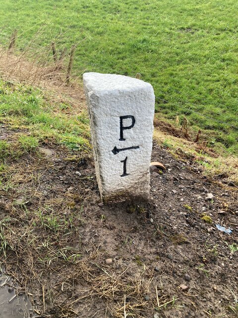
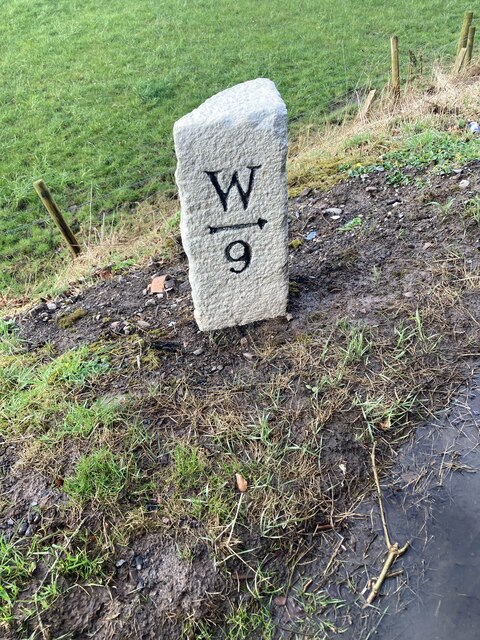
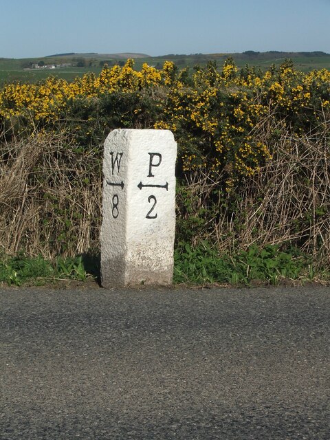
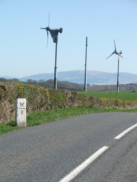
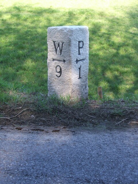
Craiganally Plantation Images

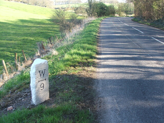
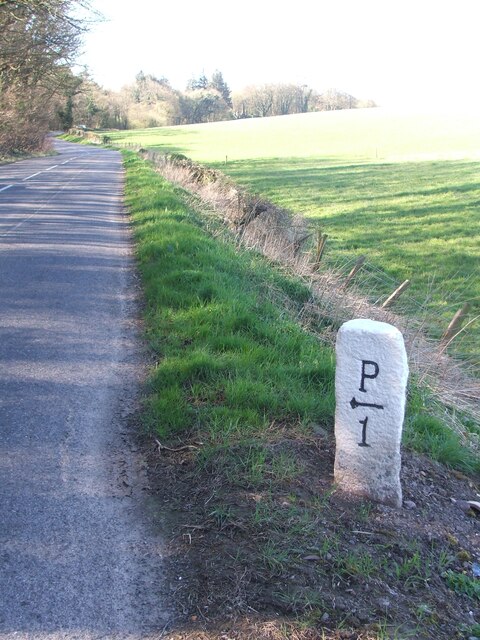
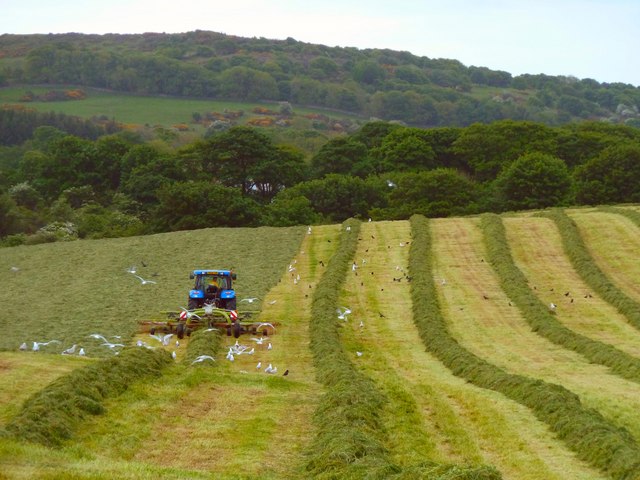
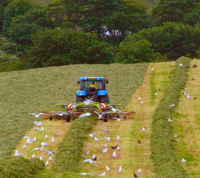
Images are sourced within 2km of 54.767675/-4.5492734 or Grid Reference NX3644. Thanks to Geograph Open Source API. All images are credited.

Old milestone A leaning Wigtownshire milestone that has had vegetation cleared away to show the extent of its lean but has been repainted.  It is on the B7085 just west of the B7021.  The next milestone nearer Port William has the mileage to Port William as ½ mile.  The W is for Wigtown.
Old milestone
A leaning Wigtownshire milestone that has had vegetation cleared away to show the extent of its lean but has been repainted. It is on the B7085 just west of the B7021. The next milestone nearer Port William has the mileage to Port William as ½ mile. The W is for Wigtown.
Old milestone This Wigtownshire style milestone has recently been uplifted and repainted by a Milestone Society member.  The W is for Wigtown.   This style of milestone was probably set up in the late 19C/early 20C after the inaugurtion of county councils.
Old milestone
This Wigtownshire style milestone has recently been uplifted and repainted by a Milestone Society member. The W is for Wigtown. This style of milestone was probably set up in the late 19C/early 20C after the inaugurtion of county councils.
Old milestone The right face of the milestone 8 miles from Wigtown.   Many of the milestones in Wigtownshire are of a quadrant shape.
Old milestone
The right face of the milestone 8 miles from Wigtown. Many of the milestones in Wigtownshire are of a quadrant shape.
Old milestone The milestone just west of the B7021 junction on the road from Wigtown to Port William.   Straightened, uplifted and painted by a local Milestone Society member.
Old milestone
The milestone just west of the B7021 junction on the road from Wigtown to Port William. Straightened, uplifted and painted by a local Milestone Society member.
Old milestone The Wigtown face of the milestone recently straightened and uplifted.   Many of the Wigtownshire stones are a quadrant shape but others, like this one, are more triangular.
Old milestone
The Wigtown face of the milestone recently straightened and uplifted. Many of the Wigtownshire stones are a quadrant shape but others, like this one, are more triangular.
Old milestone The Wigtownshire milestone on the B7085 just outside Port William has had a makeover by a local Milestone Society member and the vegetation around it cleared.   The W on this stone is for Wigtown.
Old milestone
The Wigtownshire milestone on the B7085 just outside Port William has had a makeover by a local Milestone Society member and the vegetation around it cleared. The W on this stone is for Wigtown.
Farmland: Port William Looking over Killantrae Burn to Dourie
Farmland: Port William
Looking over Killantrae Burn to Dourie
Farmland: Dourie With modern farm buildings
Farmland: Dourie
With modern farm buildings
Old milestone Just southwest of Lanberrick, another milestone painted by a Milestone Society member.  On the very edge of the road but highlighted by the yellow gorse in Springtime.
Old milestone
Just southwest of Lanberrick, another milestone painted by a Milestone Society member. On the very edge of the road but highlighted by the yellow gorse in Springtime.
Old milestone Easy to find this milestone near the wind turbines.
Old milestone
Easy to find this milestone near the wind turbines.
Old milestone Work finished straightening and repainting this milestone by a Milestone Society member.   it is sited just west of  the b7021 junction leading to Whithorn.
Old milestone
Work finished straightening and repainting this milestone by a Milestone Society member. it is sited just west of the b7021 junction leading to Whithorn.
Old milestone On this lovely sunny day, the milestone, road and fields striped by shadows from the trees not yet in full leaf.
Old milestone
On this lovely sunny day, the milestone, road and fields striped by shadows from the trees not yet in full leaf.
Old milestone And southwestwards with a mile before reaching Port William.
Old milestone
And southwestwards with a mile before reaching Port William.
Old milestone All the milestones showing mileages from Wigtown to Port William on the A746 then B7085 are still by the roadside.   This one almost at Port William is just west of Dourie.
Old milestone
All the milestones showing mileages from Wigtown to Port William on the A746 then B7085 are still by the roadside. This one almost at Port William is just west of Dourie.
Old milestone But it is one mile from the last milestone Wigtown 9/Port William 1!
Old milestone
But it is one mile from the last milestone Wigtown 9/Port William 1!
Big Balcraig Late evening and the fields near Big Balcraig are being cut for silage.
Big Balcraig
Late evening and the fields near Big Balcraig are being cut for silage.
Working the Fields Late evening near Big Balcraig Farm and work goes on to bring in the silage.
Working the Fields
Late evening near Big Balcraig Farm and work goes on to bring in the silage.
Balcraig Moor End of the road as this track runs out at Balcraig Moor Farm off the B7085.
Balcraig Moor
End of the road as this track runs out at Balcraig Moor Farm off the B7085.
Show me another place!

Craiganally Plantation is located at Grid Ref: NX3644 (Lat: 54.767675, Lng: -4.5492734)

Unitary Authority: Dumfries and Galloway

Police Authority: Dumfries and Galloway

What 3 Words

///minute.impeached.hothouse. Near Whithorn, Dumfries & Galloway

Related Wikis

Drumtroddan standing stones

The Drumtroddan standing stones (grid reference NX 36449 44300) are a small Neolithic or Bronze Age stone alignment in the parish of Mochrum, Wigtownshire...

Monreith House

Monreith House is a category A listed Georgian mansion located 1.5 kilometres (0.93 mi) east of the village of Port William in Mochrum parish in the historical...

Port William, Dumfries and Galloway

Port William (Scottish Gaelic: Cill na Tràghad) is a fishing village in the parish of Mochrum in the historical county of Wigtownshire, Dumfries and Galloway...

Wren's Egg

The Wren's Egg (grid reference NX 3610 4199) is the name given to a set of late Neolithic or Bronze Age stone monuments in the parish of Glasserton, Wigtownshire...

Nearby Amenities

Located within 500m of 54.767675,-4.5492734
Power: pole
Lat/Long: 54.7719236/-4.5516418
Power: pole
Lat/Long: 54.771305/-4.5521803
Power: pole
Lat/Long: 54.7638818/-4.5459778
The data included in this document is from www.openstreetmap.org. The data is made available under ODbL.

Have you been to Craiganally Plantation?

Leave your review of Craiganally Plantation below (or comments, questions and feedback).