Bad Daraich

Wood, Forest in Dunbartonshire

Scotland

Bad Daraich

Village shop and Post Office Luss
Village shop and Post Office Luss Credit: John Ferguson

Bad Daraich, located in Dunbartonshire, Scotland, is a picturesque wood or forest that boasts an array of natural beauty and diverse flora and fauna. Covering an area of approximately 100 hectares, it provides a serene and tranquil environment for visitors to enjoy.

The wood is primarily made up of native Scottish trees, including oak, birch, and rowan. These trees create a stunning canopy that offers shade during the summer months and a kaleidoscope of colors during the autumn. The forest floor is carpeted with a rich variety of wildflowers, adding to the enchanting atmosphere.

Bad Daraich is home to a thriving ecosystem, with various species of birds, mammals, and insects inhabiting the area. Visitors may spot roe deer, red squirrels, and an array of woodland birds, including woodpeckers and owls. The wood also supports a diverse range of insect life, with butterflies, bees, and beetles being commonly sighted.

The wood offers several well-maintained walking trails, allowing visitors to explore its beauty at their own pace. These trails wind through the forest, offering breathtaking views of the surrounding countryside and the nearby Loch Lomond and The Trossachs National Park.

Bad Daraich provides an ideal location for nature enthusiasts, hikers, and families seeking a peaceful retreat in the heart of nature. Its natural charm and diverse wildlife make it a must-visit destination for those looking to immerse themselves in the beauty of the Scottish woodlands.

If you have any feedback on the listing, please let us know in the comments section below.
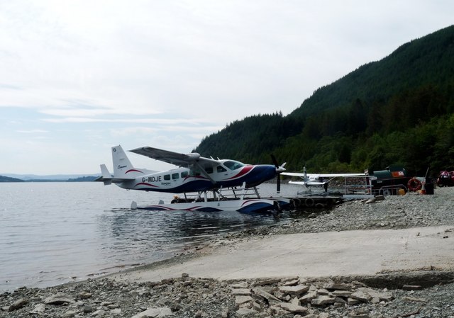
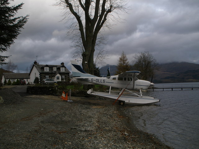
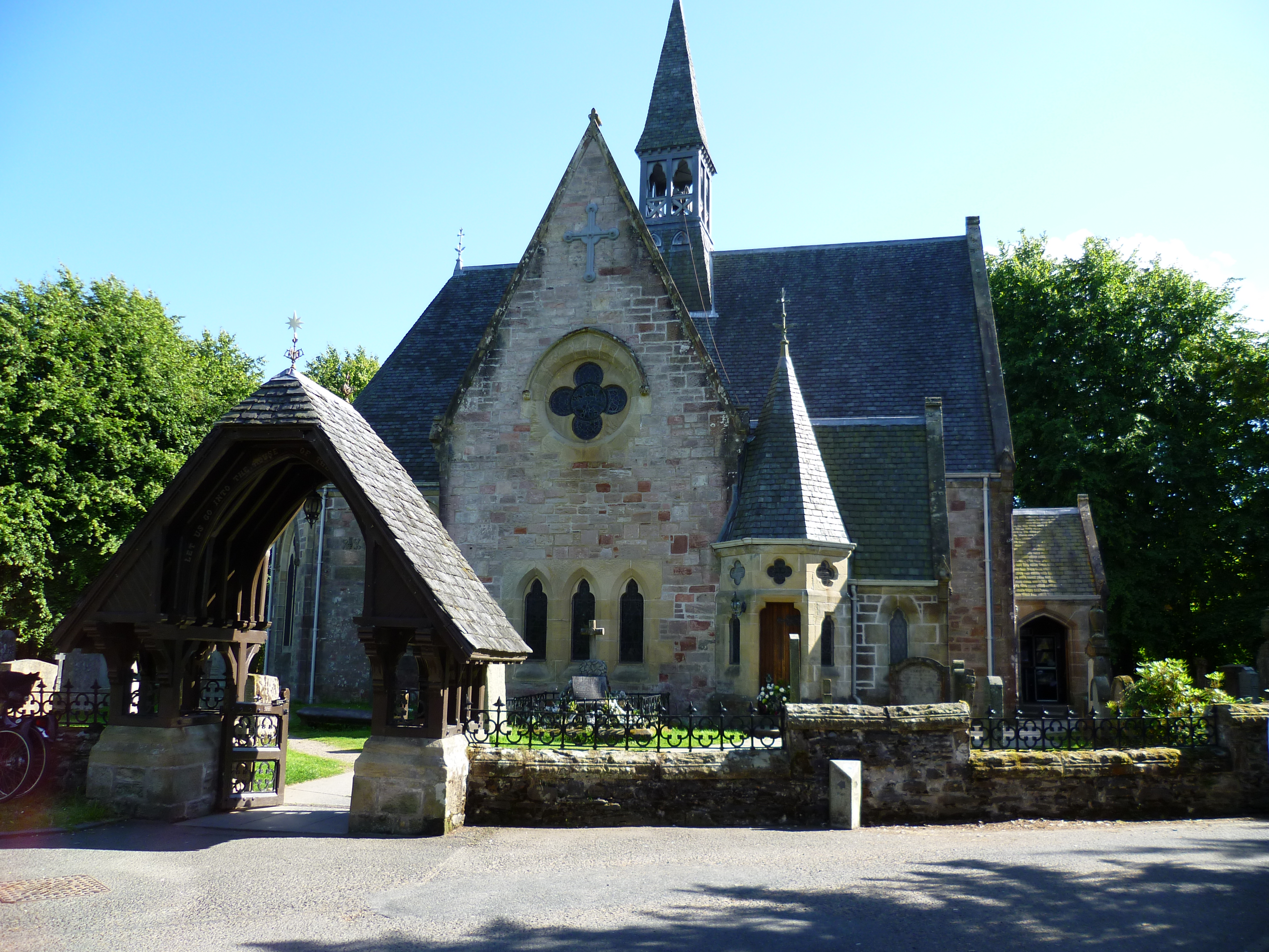
Bad Daraich Images

Images are sourced within 2km of 56.104947/-4.6433135 or Grid Reference NS3593. Thanks to Geograph Open Source API. All images are credited.

Village shop and Post Office Luss
Foxglove among bracken Bracken low down on the Glen Luss hillside has died down and been flattened by winter. The ground is covered in dry, brittle bracken except where new foxgloves have sprouted.
Foxglove among bracken
Bracken low down on the Glen Luss hillside has died down and been flattened by winter. The ground is covered in dry, brittle bracken except where new foxgloves have sprouted.
Gate onto the hill
Gate onto the hill
Fell runners descending from Beinn Dubh The runners are following the popular path that takes walkers to and from Luss village. Loch Lomond with Inchlonaig island lies beyond.
Fell runners descending from Beinn Dubh
The runners are following the popular path that takes walkers to and from Luss village. Loch Lomond with Inchlonaig island lies beyond.
The Luss Highland Gathering Ground In front of the grandstand can be seen the memorial to Sir Ian Colquhoun chieftain of the Luss Highland Gathering
The Luss Highland Gathering Ground
In front of the grandstand can be seen the memorial to Sir Ian Colquhoun chieftain of the Luss Highland Gathering
Eagle Sculpture outside Luss Visitor centre
Luss Visitor Centre in the rain By car park in Luss
Luss Visitor Centre in the rain
By car park in Luss
Headland at Rhu wood across Luss Bay Taken just north of Pier. Ben Lomond in background
Headland at Rhu wood across Luss Bay
Taken just north of Pier. Ben Lomond in background
Loch Lomond Seaplane base G-MDJE ready for takeoff
Loch Lomond Seaplane base
G-MDJE ready for takeoff
Pier road from corner of Church Road
Looking towards Luss Pier
Glendarroch Tearoom Glendarroch was the fictional placename of Luss, the outside set for the Scottish TV daytime soap "Take The High Road". But the Glendarroch Tearoom (as opposed to tea room at a later date) was very much real, but was closed when we got there.
Glendarroch Tearoom
Glendarroch was the fictional placename of Luss, the outside set for the Scottish TV daytime soap "Take The High Road". But the Glendarroch Tearoom (as opposed to tea room at a later date) was very much real, but was closed when we got there.
Luss beach, looking towards the jetty
Sea-plane on the banks of Loch Lomond at Culag
Rhu Wood Woodland on the west side of Loch Lomond, seen from the old alignment of the A82.
Rhu Wood
Woodland on the west side of Loch Lomond, seen from the old alignment of the A82.
Rhu Wood A path leaves a car park rather steeply. A possible route onto Mid Hill?
Rhu Wood
A path leaves a car park rather steeply. A possible route onto Mid Hill?
A82 The A82 is a trunk road in Scotland. It is the principal route from Lowland Scotland to the western Scottish Highlands, running from Glasgow to Inverness, going by Loch Lomond, Glen Coe, Fort William and the Great Glen. It is 167 miles long.
<span class="nowrap"><a title="https://www.sabre-roads.org.uk/wiki/index.php?title=A82" rel="nofollow ugc noopener" href="https://www.sabre-roads.org.uk/wiki/index.php?title=A82">Link</a><img style="margin-left:2px;" alt="External link" title="External link - shift click to open in new window" src="https://s1.geograph.org.uk/img/external.png" width="10" height="10"/></span>
A82
The A82 is a trunk road in Scotland. It is the principal route from Lowland Scotland to the western Scottish Highlands, running from Glasgow to Inverness, going by Loch Lomond, Glen Coe, Fort William and the Great Glen. It is 167 miles long. LinkExternal link
Bridge over the A82 The A82 is a trunk road in Scotland. It is the principal route from Lowland Scotland to the western Scottish Highlands, running from Glasgow to Inverness, going by Loch Lomond, Glen Coe, Fort William and the Great Glen. It is 167 miles long.
<span class="nowrap"><a title="https://www.sabre-roads.org.uk/wiki/index.php?title=A82" rel="nofollow ugc noopener" href="https://www.sabre-roads.org.uk/wiki/index.php?title=A82">Link</a><img style="margin-left:2px;" alt="External link" title="External link - shift click to open in new window" src="https://s1.geograph.org.uk/img/external.png" width="10" height="10"/></span>
Bridge over the A82
The A82 is a trunk road in Scotland. It is the principal route from Lowland Scotland to the western Scottish Highlands, running from Glasgow to Inverness, going by Loch Lomond, Glen Coe, Fort William and the Great Glen. It is 167 miles long. LinkExternal link
Show me another place!

Bad Daraich is located at Grid Ref: NS3593 (Lat: 56.104947, Lng: -4.6433135)

Unitary Authority: Argyll and Bute

Police Authority: Argyll and West Dunbartonshire

What 3 Words

///attend.duty.liberated. Near Garelochhead, Argyll & Bute

Related Wikis

Luss

Luss (Lus, 'herb' in Gaelic) is a village in Argyll and Bute, Scotland, on the west bank of Loch Lomond. The village is within the Loch Lomond and The...

West Loch Lomond Cycle Path

The West Loch Lomond Cycle Path is a cycle path that runs from Arrochar and Tarbet railway station, at the upper end of Loch Lomond in Scotland, to Balloch...

Thistle Cottage

Thistle Cottage is a building in Luss, Argyll and Bute, Scotland. A Category C listed cottage dating to the late 19th century, it overlooks the western...

Lochview and Pier Cottage

Lochview and Pier Cottage is a pair of buildings in Luss, Argyll and Bute, Scotland. They are Category B listed, dating to the mid 19th century.The buildings...

Nearby Amenities

Located within 500m of 56.104947,-4.6433135
Luss
Name En: Luss
Name Gd: Lus
Place: village
Wikidata: Q1016323
Wikipedia: en:Luss
Lat/Long: 56.101406/-4.6387881
Bus Stop
Luss Village, Loch Lomond A82 Bus Bay
Bench: yes
Bus: yes
Operator: SPT
Public Transport: platform
Shelter: yes
Lat/Long: 56.1005705/-4.6425873
Bus Stop
Luss Village, Loch Lomond A82 Bus Bay
Bus: yes
Note: Routes 305, 914, 915, 916, 926, 976, 977
Operator: SPT
Public Transport: platform
Ref: 6070474
Shelter: yes
Lat/Long: 56.100526/-4.6422849
Barrier: cattle_grid
Source: survey
Lat/Long: 56.1022387/-4.6435498
Luss
Whitewater: egress
Lat/Long: 56.1028096/-4.6377225
Camp Site: reception
Lat/Long: 56.1056568/-4.6379546
Fast Food
Snack Shack
Cuisine: ice_cream;coffee_shop
Lat/Long: 56.1020265/-4.6402202
Atm
Lat/Long: 56.1020315/-4.6404385
Toilets
Lat/Long: 56.1031412/-4.6398414
Tourism: information
Lat/Long: 56.1031962/-4.6396379
Tourism: viewpoint
Lat/Long: 56.1036531/-4.6384672
Alderdale Cottage
Addr City: Luss
Addr Housename: Alderdale Cottage
Tourism: guest_house
Lat/Long: 56.100925/-4.6398394
Glenview B&B
Addr City: Luss
Addr Housename: Glenview
Tourism: guest_house
Website: https://www.glenview-luss.co.uk/
Lat/Long: 56.101228/-4.6405141
Bus Stop
Bus: yes
Public Transport: platform
Lat/Long: 56.1022481/-4.6400517
Restaurant
The Village Rest
Addr Postcode: G83 8NY
Addr Street: Pier Road
Email: bookings@the-village-rest.co.uk
Indoor Seating: yes
Outdoor Seating: yes
Phone: +44 1436 860 220
Website: https://www.the-village-rest.co.uk/
Lat/Long: 56.100893/-4.6400692
Fuel
Gulf
Brand: Gulf
Brand Wikidata: Q5617505
Brand Wikipedia: en:Gulf Oil LP
Lat/Long: 56.1025607/-4.6402812
Bus Stop
Bus: yes
Public Transport: platform
Ref: 6070604
Lat/Long: 56.1022147/-4.6395901
Addr City: Luss
Addr Housename: Cherry Tree Cottage
Lat/Long: 56.100856/-4.6403574
Addr City: Luss
Addr Housename: Crannog Cottage
Lat/Long: 56.1022762/-4.6375142
Addr City: Luss
Addr Housename: Glenview
Lat/Long: 56.1012389/-4.6406079
Addr City: Luss
Addr Housename: Honeysuckle Cottage
Lat/Long: 56.1008106/-4.640611
Addr City: Luss
Addr Housename: The Strone
Lat/Long: 56.1012152/-4.6395283
Addr City: Luss
Addr Housename: Thistle Cottage
Lat/Long: 56.1020999/-4.6373754
Telephone
Booth: KXPlus
Colour: blue
Covered: booth
Lat/Long: 56.1020254/-4.6398759
Bicycle Parking
Bicycle Parking: stands
Capacity: 6
Covered: no
Lat/Long: 56.1019663/-4.6399256
Drymendevin
Place: isolated_dwelling
Lat/Long: 56.1042779/-4.6512043
Post Box
Brand: Royal Mail
Brand Wikidata: Q638098
Collection Times: Mo-Fr 15:30; Sa 12:00
Drive Through: no
Operator: Royal Mail
Operator Wikidata: Q638098
Post Box Type: lamp
Lat/Long: 56.1020686/-4.6404831
Seamark Mooring Category: buoy
Seamark Mooring Colour: orange
Seamark Mooring Shape: spherical
Seamark Type: mooring
Lat/Long: 56.1039997/-4.6373731
Seamark Mooring Category: buoy
Seamark Mooring Colour: orange
Seamark Mooring Shape: spherical
Seamark Type: mooring
Lat/Long: 56.1040087/-4.6366811
Seamark Mooring Category: buoy
Seamark Mooring Colour: orange
Seamark Mooring Shape: spherical
Seamark Type: mooring
Lat/Long: 56.1036018/-4.6369439
Seamark Mooring Category: buoy
Seamark Mooring Colour: orange
Seamark Mooring Shape: spherical
Seamark Type: mooring
Lat/Long: 56.1031381/-4.6366046
Collychippen
Place: isolated_dwelling
Lat/Long: 56.102818/-4.648279
Loch Lomond Watersports
Building: roof
Leisure: sports_centre
Website: https://lochlomond-scotland.com
Lat/Long: 56.1037348/-4.6384721
Power: pole
Lat/Long: 56.1033548/-4.6490834
Power: pole
Lat/Long: 56.105495/-4.6430615
The data included in this document is from www.openstreetmap.org. The data is made available under ODbL.

Have you been to Bad Daraich?

Leave your review of Bad Daraich below (or comments, questions and feedback).